- Howard Frankland Bridge
Infobox Bridge
bridge_name=Howard Frankland Bridge
official_name=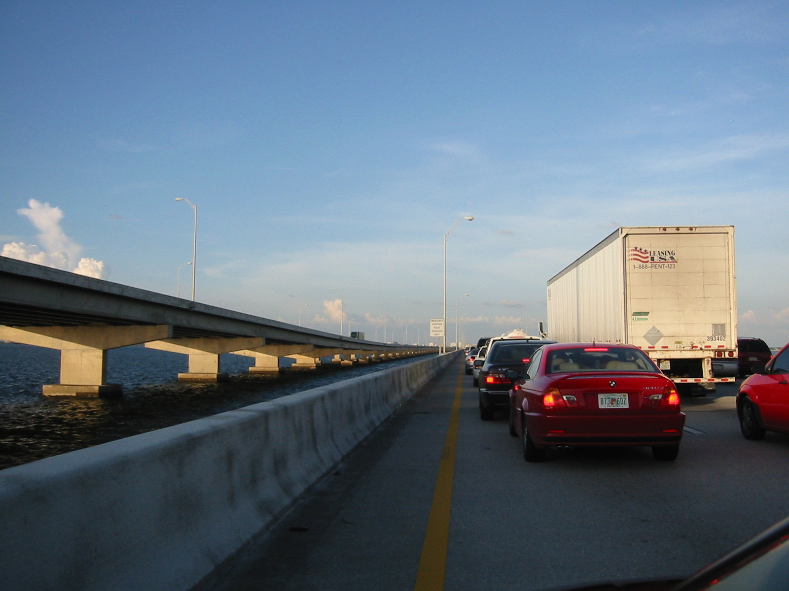
locale= St. Petersburg to Tampa,Florida
carries= Interstate 275
crosses=Old Tampa Bay
id=150107 (northbound) 150210 (southbound)
maint=Florida Department of Transportation
open=1959 (northbound)1990 (southbound)
below=43.0 feet (13.1 m) (northbound)
48.9 feet (14.9 m) (southbound)
traffic=135,000cite map
publisher = Pinellas County Metropolitan Planning Organization
title = 2006 Average Annual Daily Traffic Counts in Pinellas County (A.A.D.T.)
url = http://www.pinellascounty.org/mpo/maps/TrafCou06.pdf
accessdate = 2008-01-13] cite map
publisher = Florida Department of Transportation
title = PTMS and TTMS Sites, 2006, Pinellas County (15)
url = http://www.dot.state.fl.us/planning/statistics/trafficdata/maps/pinellas.pdf
accessdate = 2008-01-13] cite web
url= http://www.dot.state.fl.us/planning/statistics/trafficdata/AADT/15.pdf
title= 2006 Annual Average Daily Traffic Report
accessdate= 2008-01-13
publisher= Florida Department of Transportation
pages= Site 0062]
design=
mainspan=
length=15,872 feet (4,838 m) (northbound)
15,900 feet (4,846 m) (southbound)
width=58.4 feet (17.8 m) (northbound)
68.9 feet (21.0 m) (southbound)
clearance=
lat=27.92793
long=-82.58755The Howard Frankland Bridge carries Interstate 275 over
Old Tampa Bay . It is by far the most traveled of the bay's bridges.History
*The Howard Frankland Bridge opened in
1959 and only carried four lanes (two lanes in each direction separated by a short, narrow barrier). Because of the bridge's design, including its lack of emergency shoulders, it proved to be a very dangerous span. Numerous accidents occurred on the bridge nearly every day, and traffic would back up as far as the eye could see on both the Tampa and St. Petersburg sides.
**The bridge quickly gained national recognition after a story appeared in a60 Minutes segment in the 1960s, noting the below-average construction methods used to build the bridge. It is named for the man that proposed the bridge, Tampa businessman; Howard Frankland. Locally, the Howard Frankland Bridge was nicknamed the "Frankenstein" due to its horrendous traffic conditions.
*Planning began for a larger-capacity replacement in 1978. Original plans ranged from a large, multi-lane suspension (or similar type) bridge, to two parallel bridges (with the central span reserved for HOV lanes). As traffic projections increased though, further exacerbated by the disaster on theSunshine Skyway Bridge in1980 , it was clear that the new bridge would have to handle a total of at least eight lanes (four in each direction). By the 1987, it was concluded that a parallel, four lane span would be built. Plans also went ahead to rehabliltate the older bridge after the new bridge opened. Construction commenced on the new span in1988 .
**The new $54 million southbound span was opened to traffic in1990 . The older bridge was then closed to traffic, rehabilitated, and reopened in1992 .
*The difference between the northbound and southbound spans is obvious to observers, as the older northbound span is shorter and has a steeper hump than the newer southbound span.*The bridge is often miscited as the "Howard Franklin" Bridge.
Bypass System
*Before the parallel bridge was built, I-275 boasted a special bypass designation system. Whenever there would be a major delay at the Howard Frankland Bridge, special signs would alert drivers to the delay and direct them to utilize the bypass, which ran along SR 694, to the Selmon-Crosstown Expressway, Willow Ave, Howard Ave, and ending at Interstate 275. Special shields (signed N and S) along the route made sure that drivers were using the correct thoroughfare.
Reconstruction of the bridge approaches
After the widening project in 1992, Interstate 275 was increased to eight lanes on the bridge itself. However, this did not increase capacity on either end of the bridge. Backups are still seen on the Howard Frankland heading into Tampa, primarily due to a bottleneck at the SR 60/Veterans Expressway exit.
On the St. Petersburg side, after a comprehensive reconstruction project that took over ten years, lane counts have been increased from four lanes prior to the bridge, to six lanes through Downtown St. Petersburg, and eight lanes from Gandy Blvd. to the bridge.
A reconstruction project was planned to begin in 2007 for I-275 between the Howard Frankland and downtown Tampa. However, due to rising cost of materials, FDOT plans to revise the project, reconstructing the interstate in smaller phases rather than the original large, two-phase project. Once the reconstruction project is finished (around 2013), major traffic congestion on the Howard Frankland will be significantly reduced.
References
Links
* [http://www.interstate275florida.com/hfb.htm Howard Frankland Bridge page at Interstate275Florida.com]
* [http://www.sptimes.com/2006/06/28/Tampabay/I_275_plan_hits_100M_.shtml I-275 plan hits $100M bump.] St. Petersburg Times: June 28, 2006. An article noting the recent I-275 expansion setback.
* [http://www.sptimes.com/2002/08/16/Citytimes/Howard_Frankland__Bri.shtml Article about "the" Howard Frankland.]Crossings navbox
structure = Crossings
place =Tampa Bay
bridge = Howard Frankland Bridge
bridge signs =
upstream =Clearwater Bayside Bridge
upstream signs =
downstream =Gandy Bridge
downstream signs =
Wikimedia Foundation. 2010.