- Oberhalbstein Range
-
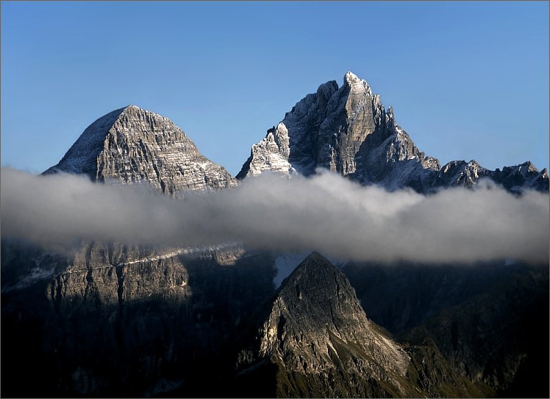
Oberhalbstein Range Range  Piz Platta
Countries Switzerland, Italy States Graubünden, Lombardy Part of Central Eastern Alps Highest point Piz Platta - elevation 3,386 m (11,109 ft) - coordinates 46°30′N 9°33′E / 46.5°N 9.55°E  Location of the Oberhalbstein Range
The Oberhalbstein Range (Italian: Alpi del Platta) is a mountain range in the Alps of eastern Switzerland and northern Italy. It is considered to be part of the Central Eastern Alps. The Oberhalbstein Range is separated from the Lepontine Alps in the west by the Splügen Pass; from the Plessur Range in the north by the Albula river valley; from the Albula Range in the east by the Septimer Pass and the Julia River; from the Bernina Range in the south by the Val Bregaglia.
The Oberhalbstein Range is drained by the rivers Hinterrhein, Julia, Liro and Mera.
Contents
Peaks
 Piz Platta
The main peaks of the Oberhalbstein Range are:
Peak Elevation (m/ft) Piz Platta 3386 11,109 Piz Forbesch 3258 10,689 Piz Timun 3201 10,502 Pizzo Stella 3162 10,375 Piz Duan 3133 10,279 Pizz Gallagiun 3107 10,200 Gletscherhorn 3106 10,191 Cima da Lägh 3082 10,112 Piz Grisch 3062 10,050 Usser Wissberg 3053 10,016 Surettahorn 3039 9,971 Piz Curvér 2975 9,761 Piz Alv 2854 9,365 Piz Miez 2835 9,301 Passes
The main mountain passes of the Oberhalbstein Range are:
Mountain pass location type elevation (m/ft) Passo della Duana Avers to the Val Bregaglia snow 2800 9187 Passo da la Prasignola Avers to Soglio cattle path 2720 8924 Forcella di Lago or Madris Pass Avers to Chiavenna foot path 2680 8793 Forcellina Avers to the Septimer Pass foot path 2673 8770 Passo di Lei Avers to Chiavenna foot path 2659 8724 Stallerberg Avers to Bivio foot path 2584 8478 Pass da Sett (Septimer Pass) Bivio to Val Bregaglia bridle path 2311 7582 Pass da Niemet Innerferrera to Madesimo foot path 2280 7481 See also
References
- Swisstopo maps
Albula Alps | Pohorje (Bachergebirge) | Bernina Alps | Gurktal Alps | Lavanttal Alps | Livigno Alps | Ortler Alps | Ötztal Alps | Oberhalbstein Range | Plessur Alps | Foothills east of the Mur |
Rätikon | Samnaun Alps | Sarntal Alps | Salzburg and Tyrolean Slate Alps (Kitzbühel Alps) | Sesvenna Range | Silvretta Alps | Sobretta-Gavia Group | Stubai Alps | Tux Alps | High Tauern |
Low Tauern | Verwall Alps | Zillertal Alps Categories:
- Mountain ranges of the Alps
- Central Alps
- Mountain ranges of Switzerland
- Mountain ranges of Italy
- Mountain ranges of Graubünden


Wikimedia Foundation. 2010.