- Mount Tate
-
For the peak in the Australian Alps, see Mount Tate (New South Wales).
Mount Tate 立山 
Mount Tate and Mikuri PondElevation 3,015 m (9,892 ft) [1] Listing List of mountains in Japan
100 Famous Japanese MountainsTranslation Standing Mountain (Japanese) Location Location in Japan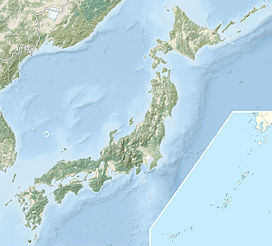
 Mount Tate
Location Toyama Prefecture, Japan 
Range Hida Mountains Coordinates 36°34′33″N 137°37′11″E / 36.57583°N 137.61972°ECoordinates: 36°34′33″N 137°37′11″E / 36.57583°N 137.61972°E[1] Topo map Geospatial Information Authority 25000:1 剱岳[1]
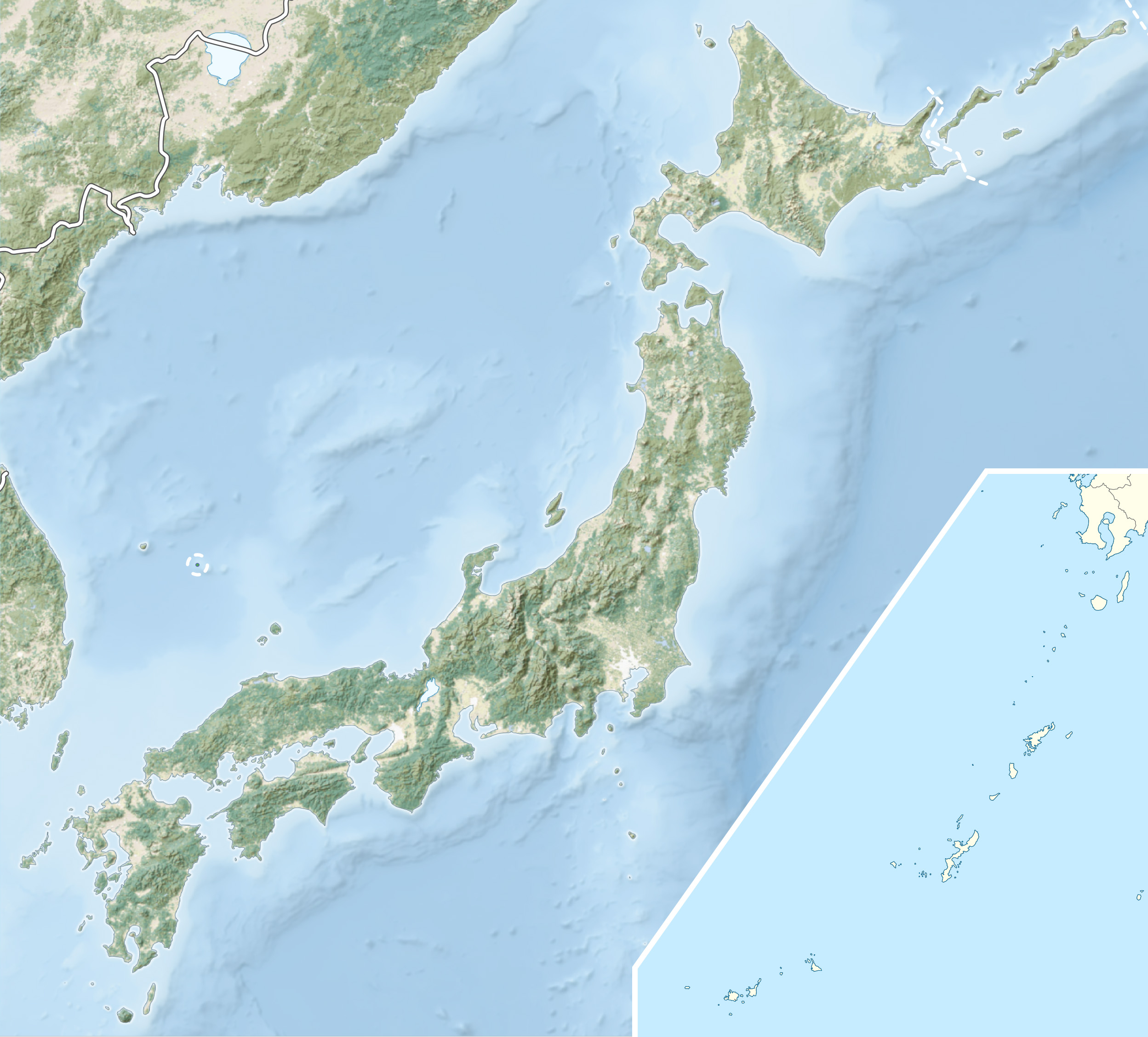
50000:1 立山Climbing First ascent Saeki no Ariyori ca. 8th century Mount Tate (立山 Tateyama, IPA: [tate]) is located in the southeastern area of Toyama Prefecture, Japan. It is one of the tallest peaks in the Hida Mountains at 3,015 m (9,892 ft) and, along with Mount Fuji and Mount Haku, it is one of Japan's "Three Holy Mountains" (三霊山 Sanreizan). The climbing season for Mount Tate is from April until November. It was first climbed by Saeki no Ariyori during Japan's Asuka period. The area was designated the Chūbu-Sangaku National Park on December 4, 1934.[2]
Contents
Name
The kanji for the mountain (立山 Tateyama) mean "stand or standing" and "mountain," respectively. Another common English name is Mount Tateyama. (The pronunciation of tate is two syllables similar to pâté rather than gate). The Toyama Prefectural Government uses the name Mount Tateyama as an official translation of the Japanese mountain because it shares its name with the neighboring town of Tateyama. Some English-speaking locals just use the Japanese name Tateyama when referring to the mountain, both variations are used interchangeably.
Geology
The mountain is composed primarily of granite and gneiss. However, located along the ridge and plateau about 2 km (1.2 mi) west of the summit is a small andesite-dacite stratovolcano, confusingly also named Tateyama after its far more famous neighbor.[3] This volcano has an elevation of 2,621 m (8,599 ft), and has had minor historical eruptions, the latest in 1839.
Geography
Location
Tateyama is located in southeastern Toyama Prefecture. At the base of the mountain is the town of Tateyama, which is accessible by train from the prefecture's capital city, Toyama. Public transportation will take climbers and tourists as far as the Murodo Plateau Station at an altitude of 2,450 m (8,038 ft), from where individuals may climb to the peak on foot.
Mountain sights
Located on the peak of the mountain is Oyama Shrine, where climbers can receive a blessing and warm sake from a priest. There is also a rest area where climbers may buy food, drinks and souvenirs.
Located on the Murodo Plateau is a shopping area and onsen bath. The onsen on Tateyama is famously known for its use of sulfur spring water for the bath, leaving a noticeable aroma that can be detected even while ascending the mountain.
On clear days, climbers can see Shōmyō Falls (the tallest waterfall in Japan) across the valley while traveling along the main road from Tateyama Station to the Murodo Plateau.
Nearby mountains
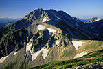
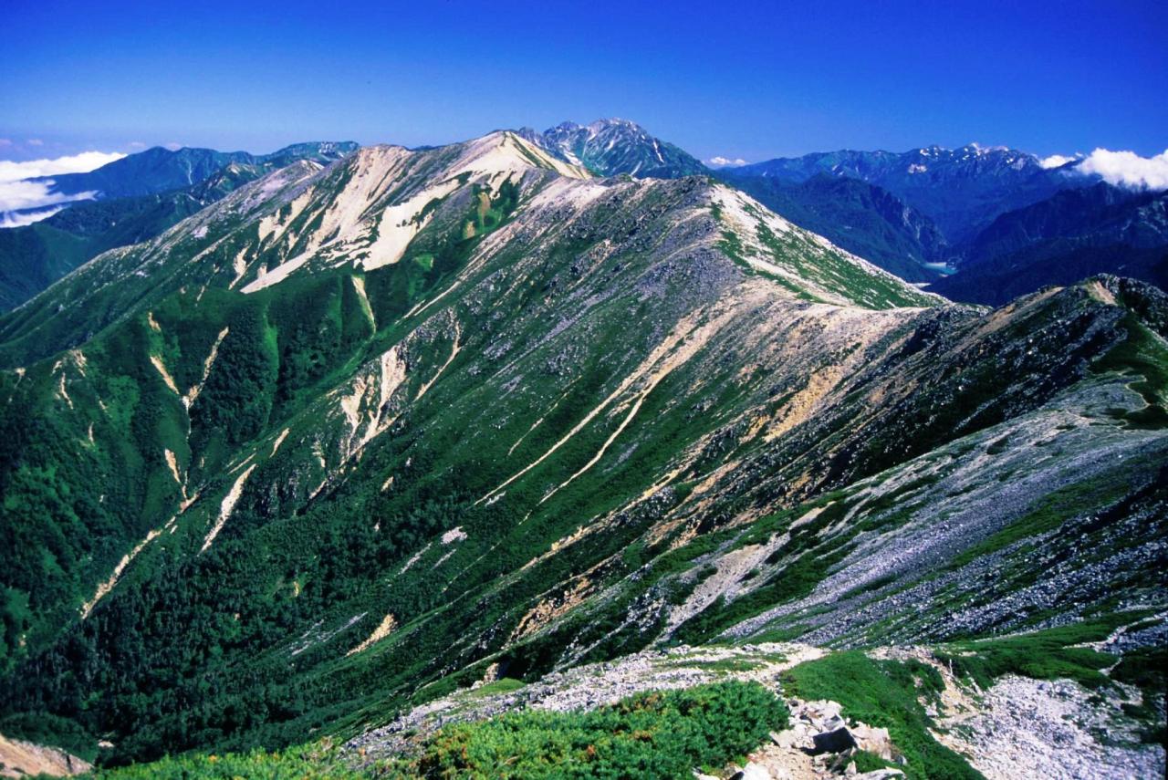
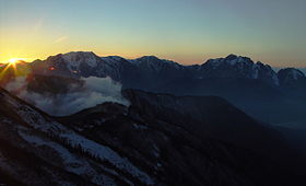 Mount tate, Mount Bessan and Mount Tsurugi
seen from Mount Kashimayari at the sunsetImage Mountain Elevation Distance and
direction
from the TopNote 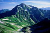
Mt. Tsurugi
剱岳2,999 m (9,839 ft) 5.3 km (3.3 mi)
North100 Famous Japanese Mountains 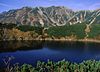
Mt. Bessan
別山2,880 m (9,449 ft) 2.4 km (1.5 mi)
North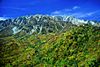
Mt. Tate
立山3,015 m (9,892 ft) 0 km (0.0 mi) 100 Famous Japanese Mountains
the tallest mountain in Toyama Prefecture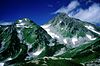
Mt. Ryuō
龍王岳2,872 m (9,423 ft) 1.7 km (1.1 mi)
Southwest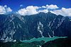
Mt. Harinoki
針ノ木岳2,820.60 m (9,254 ft) 7.2 km (4.5 mi)
Southeast200 Famous Japanese Mountains 
Mt. Akaushi
赤牛岳2,864.23 m (9,397 ft) 12.8 km (8.0 mi)
South200 Famous Japanese Mountains 
Mt. Yakushi
薬師岳2,926.01 m (9,600 ft) 13.7 km (8.5 mi)
Southwest100 Famous Japanese Mountains Rivers
The mountain is the source of the following rivers, each of which flows to the Sea of Japan.[4]
- Hayatsuki River
- Tsurugisawa, tributaries of the Kurobe River
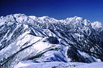
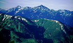
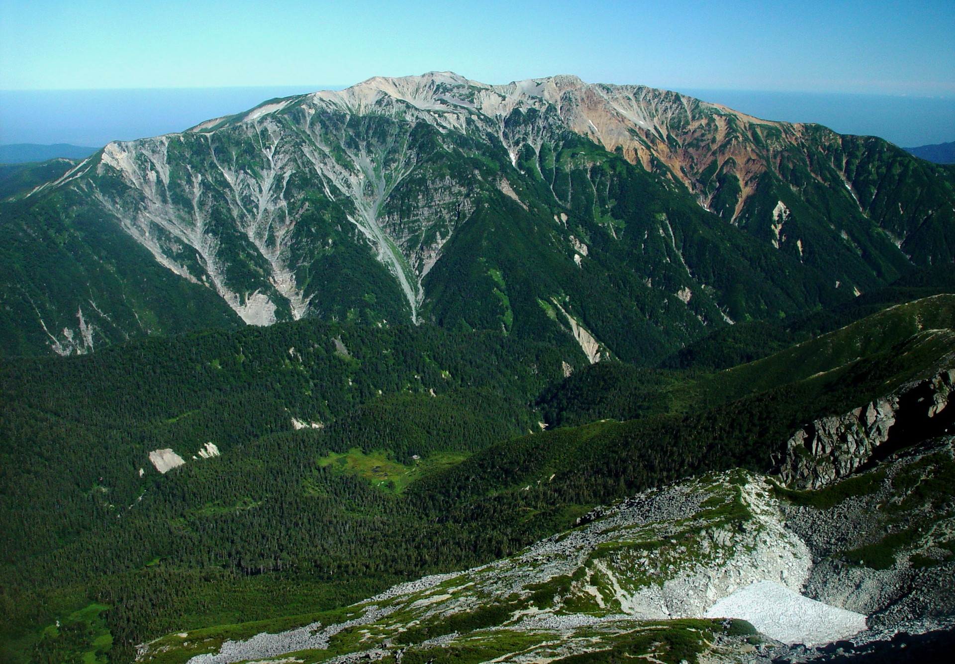
Scenery of Mount Tate
Mt. Tate
from Higashi-IchinokoshiMt. Tate
from Mt. BessanMt. Tate and Mt. Tsurugi
from Mt. JiiMt. Tate and Mt. Tsurugi
from Mt. Asahi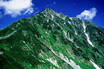
References
- ^ a b c "Map inspection service" (in Japanese). Geospatial Information Authority of Japan,(高山-立山-剱岳). http://watchizu.gsi.go.jp/watchizu.html?longitude=137.5400&latitude=36.3925. Retrieved January 28, 2011.
- ^ "Chūbu-Sangaku National Park". Ministry of the Environment (Japan). http://www.env.go.jp/en/nature/nps/park/parks/chubu.html. Retrieved January 28, 2011.
- ^ "Tate-yama". Global Volcanism Program, Smithsonian Institution. http://www.volcano.si.edu/world/volcano.cfm?vnum=0803-08=.
- ^ (in Japanese) Mountain and plateau map of Mount Tsurugi and Mount Tate. Shobunsha Publications,ISBN 978-4-398-75716-6. 2010.
See also
- List of mountains in Japan
- Three-thousanders (in Japan)
- Tourism in Japan
Independent peak Hida Mountains (Northern Alps) Mt. Okuhotaka - Mt. Yari - Mt. Karasawa - Mt. Kitahotaka - Mt. Ōbami - Mt. Maehotaka - Mt. Naka - Mt. Minami - Mt. Norikura - Mt. TateAkaishi Mountains (Southern Alps) Mt. Kita - Mt. Aino - Mt. Warusawa - Mt. Akaishi - Mt. Arakawa - Mt. NishiNōtori - Mt. Shiomi - Mt. Senjō - Mt. Hijiri100 Famous Japanese Mountains - List of mountains in Japan Categories:- Hida Mountains
- Mountains of Toyama Prefecture
- Sacred mountains
- Visitor attractions in Toyama Prefecture
- Tateyama Kurobe Alpine Route
- Toyama geography stubs


Wikimedia Foundation. 2010.