- Diablo Range
-
Diablo Range Mountain Range  The Diablo Range in the vicinity of San Benito Mountain
Country United States State California Region Central California Coordinates 36°22′10.844″N 120°38′39.609″W / 36.36967889°N 120.64433583°W Highest point - elevation 1,597 m (5,240 ft) Timezone Pacific (UTC-8) - summer (DST) PDT (UTC-7) Topo map USGS San Benito Mountain 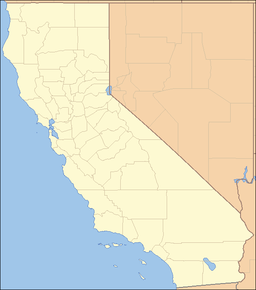
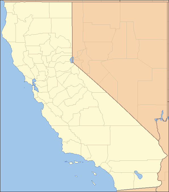
 Location of the Diablo Mountain Range in California, U.S.A. [1]
The Diablo Range is a mountain range in the California Coast Ranges subdivision of the Pacific Coast Ranges. It is located in the eastern San Francisco Bay area south to the Salinas Valley area of northern California, the United States.
Contents
Geography
The Diablo Range extends from the Carquinez Strait in the north to Orchard Peak in the south, near the point where State Route 46 crosses over the Coast Ranges at Cholame, as described by the USGS. It is bordered on the northeast by the San Joaquin River, on the southeast by the San Joaquin Valley, on the southwest by the Salinas River, and on the northwest by the Santa Clara Valley. [1] The USGS designation is somewhat ambiguous north of the Santa Clara Valley, but on their maps, the range is shown as the ridgeline which runs between its namesake Mount Diablo southeastward past Mount Hamilton. Geologically, the range corresponds to the Coast Ranges east of the Calaveras Fault in this northern section.
The range passes through Contra Costa, Alameda, San Joaquin, Santa Clara, Stanislaus, Merced, San Benito, Fresno, Monterey, and Kings counties, and ends in the northwesternmost extremity of Kern County.
Topography
Though the average elevation is about 3,000 ft, a summit at over 2,300 ft is considered high, mainly because the range is mostly rolling grassland and plateaus, punctuated by sudden peaks. The plateaus are usually at about 2,000–3,000 ft. The hills (not including foothills) rising out of valleys rise to about 1,000 ft at most, and the hills rolling around inland plateaus go from 1,500–2,500 ft. Foothills, such as the which are found near the Santa Clara Valley, Livermore Valley and San Joaquin Valley, are lowest, from 400–1,000 ft.
Canyons usually are 300–400 ft deep and valleys are deeper but gentler. The peaks often have high topographic prominence because they are typically surrounded by hills, valleys, or lower plateaus. Some streams draining the eastern slopes of the Diablo Range include Alameda Creek, Coyote Creek (Santa Clara County), Hospital Creek, and Ingram Creek.
The Diablo Range's following peaks and ridges are between 2,517 and 5,241 ft and are distinct landmarks. Mount Diablo (3,889 ft), San Benito Mountain (5,241 ft), Mount Hamilton Ridge (4,230–4,260 ft), and Mount Stakes (3,804 ft).
 View of Mt. Diablo from Concord; The main peak is at right, North Peak at left and Mt. Zion at center
Human elements
 The south edge (mostly Monument Peak) of the Mission Ridge as seen from Milpitas.
The Diablo Range is paralleled for much of its distance by U.S. Route 101 to the west and by I-5 to the east.
Major routes of travel through the range include:
- North of the range
- State Route 4
- San Joaquin (Amtrak)
- Altamont Pass
- Pacheco Pass
- State Route 198
- Polonio Pass
A sparsely used gravel road is the highest road in the range, with its highest point being on San Benito Mountain at over 5,000 feet.[citation needed]
The Diablo Range is largely unpopulated outside of the San Francisco Bay Area. Major nearby communities include Antioch, Concord, Walnut Creek, Pleasanton, Livermore, Fremont and the Central Valley city of Tracy.
In the South Bay, communities near (though not in) the range are Milpitas, eastern San Jose, Morgan Hill, and Gilroy. South of Pacheco Pass, the only major nearby communities (those with a population over 15,000) are Los Baños, and Hollister. The small town of Coalinga may also be notable for its location on State Route 198, one of the few routes through the mountains.
Parks

Most of the range consists of private ranchland, limiting recreational use. However, the range does contain several areas of parkland, including Mount Diablo State Park, Alum Rock Park, Grant Ranch Park, Henry W. Coe State Park, and the BLM's Clear Creek Management Area. In addition, some private land is held in conservation easements by the California Rangeland Trust.
Environmental aspects
Since the range lies around 10 to 50 miles (16 to 80 km) inland from the ocean, and other coastal ranges like the Santa Lucia Range and the Santa Cruz Mountains block incoming moisture, the range gets little precipitation. In addition, the average elevation of 3,000 feet is not high enough to catch most of the incoming moisture at higher altitudes.
Winters are mild with moderate rainfall, but summers are very dry and hot. Areas above 2,500 feet (762 m) get light to moderate snow in the winter, especially at the highest point, the 5,241 ft (1,597 m) San Benito Mountain in the remote southeastern section of the range. However, though sites at the lower end get annual snowfall, it is typically light and melts too fast to be noticed. Once or twice a decade there is seriously deep and long lasting snowfall.
Flora and fauna
Flora
The Diablo Range is part of the California interior chaparral and woodlands ecoregion. It is covered mostly by chaparral and California oak woodland communities, with stands of Closed-cone pine forests appearing above 4,000 feet (1,219 m). The native bunch grass savanna has been predominantly replaced by annual Medeterranean grasses, except in some rare habitat fragments. The understory is dominated with nonnative invasives. Blooming in spring are such plants as Viola pedunculata, Dodecatheon pulchellum, Fritillaria liliacea, and Ribes malvaceum, which can be viewed in the Blue Oak Ranch Reserve. [2]
The range's riparian zones have such trees as Bigleaf Maple (Acer macrophyllum), White alder (Alnus rhombifolia), California Bay (Umbellularia californica), and Californiasycamore (Platanus racemosa). [3]
The most common trees are Coast live oak (Quercus agrifolia) and Blue oak (Quercus douglasii), with the largest blue oak growing in Alameda County. There are also good populations of California buckeye (Aesculus californica), and California black oak (Quercus kelloggii). The Gray Pine – Digger Pine (Pinus sabineana) and rarer Coulter Pine (Pinus coulteri) can be found at all elevations, especially between 800 ft. and 3000 ft. Coulter pine reaches its northern limit on northern of Mt. Diablo. The conifers at higher elevations in the Diablo Range include Knobcone Pine (Pinus attenuata) and Ponderosa pine (Pinus ponderosa).
Fauna
The Diablo Range attracts far more raptors than coastal forests, such as Red tail hawks. Golden Eagle nesting sites are found[4] in the Diablo Range, reaching their highest density in southern Alameda County.[5][6][7]
The Bay Checkerspot butterfly, a federally listed threatened species, has habitat in the Range, especially at Mount Diablo. The California Tiger Salamander (Ambystoma californiense), also a federally threatened species and a vulnerable species of amphibian native to Northern California, lives in ponds in the range. [8] The Northern Pacific Rattlesnake is thriving, as are many ground squirrels, hares, and various species of native and nonnative rodents.
Black-tailed deer are abundant. Tule Elk live in small, disjunct populations in Santa Clara and Alameda Counties, and are slowly recovering. Pronghorn, grizzly bears, and wolves were extirpated in the 1800s. There still are numerous coyotes and some of the more vital mountain lion populations in the state. There are excellent populations of bobcats and gray foxes, who depend on the chaparral habitat.
References
- ^ "Diablo Range". Geographic Names Information System, U.S. Geological Survey. http://geonames.usgs.gov/pls/gnispublic/f?p=gnispq:3:::NO::P3_FID:238329. Retrieved 2009-05-03.
- ^ http://www.blueoakranchreserve.org/BORR/Galleries/Galleries.html . accessed 6/28/2010
- ^ http://www.blueoakranchreserve.org/BORR/Galleries/Pages/Habitat_Highlights%3A_The_Arroyo_Hondo_Survey.html . accessed 6/28/2010
- ^ C. Michael Hogan, Paul Hoffey et al. al., Environmental Impact Report for the Aiassa Site off Mount Hamilton Road, Santa Clara County, Ca., Santa Clara County Document EMI 7364W1 SCH88071916, August, 1989
- ^ Peterson, Hans- Raptors of California
- ^ http://www.kqed.org/quest/television/fatal-attraction-birds-and-wind-turbines
- ^ http://www.kqed.org/quest/television/cool-critters-the-golden-eagle
- ^ http://www.blueoakranchreserve.org/BORR/Galleries/Pages/Species_Highlights%3A_The_California_Tiger_Salamander.html . accessed 6/28/2010
See also
- Rancho Cañada de Pala
- Rancho Santa Teresa
- Category: Mountain ranges of the San Francisco Bay Area
Categories:- California Coast Ranges
- Mountain ranges of the San Francisco Bay Area
- Mountain ranges of Northern California
- Mountain ranges of Contra Costa County, California
- Mountain ranges of Alameda County, California
- Mountain ranges of Santa Clara County, California
- Mountain ranges of San Joaquin County, California
- Mountain ranges of Stanislaus County, California
- Mountain ranges of Merced County, California
- Mountain ranges of San Benito County, California
- Mountain ranges of Fresno County, California
- Mountain ranges of Monterey County, California
- Mountain ranges of Kings County, California
- Mountain ranges of Kern County, California
- North of the range


Wikimedia Foundation. 2010.