- Chaclacayo
-
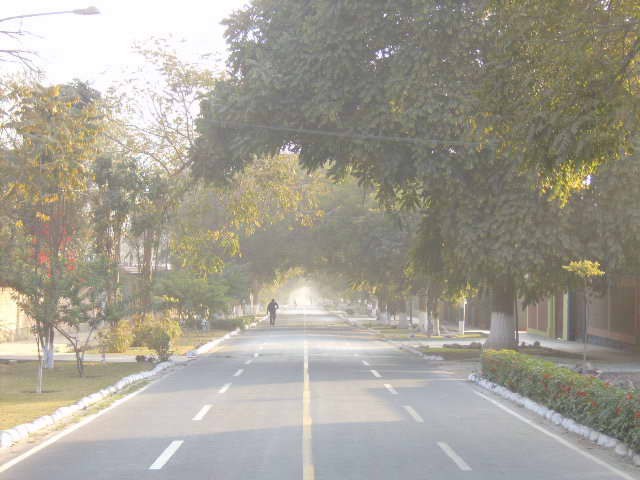
Chaclacayo — District — Chaclacayo Street

Coat of armsLocation of Chaclacayo in the Lima province
Coordinates: 11°59′S 76°46′W / 11.983°S 76.767°WCoordinates: 11°59′S 76°46′W / 11.983°S 76.767°W Country  Peru
PeruRegion Lima Province Lima Founded April 24, 1940 Capital Chaclacayo Subdivisions 1 populated center Government - Mayor Alfredo Enrique Valcarcel Cahen Area - Total 39.5 km2 (15.3 sq mi) Elevation 647 m (2,123 ft) Population (2005 census) - Total 39,686 - Density 1,004.7/km2 (2,602.2/sq mi) Time zone PET (UTC-5) UBIGEO 150107 Website munichaclacayo.gob.pe Chaclacayo is a district of the Lima Province in Peru.
Contents
Location
Chaclacayo is located at the 27th km mark of the Carretera Central, the main road headed East starting in the Lima urban center.
Geography
Chaclacayo is a city in the valley of the Rímac River that runs from the Peruvian Andes to the Pacific Ocean. Its weather is typical of the Coastal Andes: During summertime (from December to February) it is warm and sometimes rainy; the rest of the year it is usually sunny, with average temperatures between 14º and 20º C. The coldest months are June and July, when temperatures can drop to 12º C.
Name
The name is derived from an Aymara word that means "at the foot of the carrizo". Carrizo is a plant that grows by the Rimac's riverside.
Main attractions
Places to visit in Chaclacayo are the Parque Central, the central park of the district. Around the park there are other landmarks: a well-known bakery, an Evangelical church, a bazaar, and the Chaclacayo District Council.
-

River Rimac, open water areas
-

River Rimac, river basin
-

River Rimac, restoration work
Neighborhoods
- Urban Context
-
- La Floresta
- Alfonso Cobian
- Vírgen de Fátima de Morón
- Huascata
- Miguel Grau
- Villa Rica
- Santa Rosa
- Villa Mercedes
- Santa Ines
- Los Cóndores
- Residential Clubs
-
- El Cuadro
- Los Cóndores
Miscellaneous
The peculiar shape of the district has made some think of Huampaní and Ñaña as being part of Chaclacayo. However those towns belong to the neighboring district of Lurigancho.
External links
- News and Articles about Chaclacayo
- Municipalidad Distrital of Chaclacayo
- Oficial Country Club of Chaclacayo
Lima and Callao Metropolitan Area Culture · History · Landmarks · Notable people · Mayors · Other elected officials · Transportation Districts Central Lima Breña · La Victoria · Lima · Rimac South Central Lima Barranco · Jesús María · La Molina · Lince · Magdalena · Miraflores · Pueblo Libre ·San Borja · San Isidro · San Miguel · Santiago de Surco · Surquillo Cono Este Ate · Cieneguilla · Chaclacayo · El Agustino · Lurigancho (Chosica) · San Juan de Lurigancho · San Luis · Santa Anita Cono Norte Ancón · Carabayllo · Comas · Independencia · Los Olivos · Puente Piedra · San Martin de Porres · Santa Rosa Cono Sur Chorrillos · Lurín · Pachacamac · Pucusana · Punta Hermosa · Punta Negra · San Bartolo · San Juan de Miraflores · Santa María del Mar · Villa el Salvador · Villa María del Triunfo Callao Bellavista · Callao District · Carmen de la Legua Reynoso· La Perla · La Punta · Ventanilla Categories:- Districts of Lima
-


Wikimedia Foundation. 2010.