- Dimataling, Zamboanga del Sur
-
Dimataling — Municipality — Map of Zamboanga del Sur showing the location of Dimataling Location in the Philippines
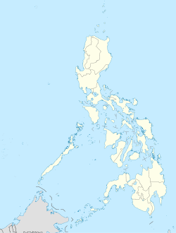
 Dimataling
Coordinates: 7°32′N 123°22′E / 7.533°N 123.367°ECoordinates: 7°32′N 123°22′E / 7.533°N 123.367°E Country  Philippines
Region Western Mindanao (Region IX) Province Zamboanga del Sur District 2nd District of Zamboanga del Sur Founded June 17, 1950 Barangays 24 Government – Mayor Haniel C. Baya Area – Total 117.48 km2 (45.4 sq mi) Population (2007) – Total 29,732 – Density 253.1/km2 (655.5/sq mi) Time zone PST (UTC+8) ZIP code Income class 4th class town Dimataling is a 4th class municipality in the province of Zamboanga del Sur, Philippines. According to the 2000 census, it has a population of 25,843 people in 4,949 households.
Dimataling was created in 1950 from the barrios of Dinas, Legarda, Mirapao, Migpulao, Kalipapa, Pisaan, Bubway, Tiniguangan, Tabina and Dimataling from Pagadian City (not yet at city at that time) and the barrios of Punta Flecha, Pitogo, Qugbay, Balong-balong, Libertad and Dumanguilas from Margosatubig.[1]
Barangays
Dimataling is administratively subdivided into 24 barangays.
- Bacayawan
- Baha
- Balanagan
- Baluno
- Binuay
- Buburay
- Grap
- Josefina
- Kagawasan
- Lalab
- Libertad
- Magahis
- Mahayag
- Mercedes
- Poblacion
- Saloagan
- San Roque
- Sugbay Uno
- Sumbato
- Sumpot
- Tinggabulong
- Tiniguangan
- Tipangi
- Upper Ludiong
References
- ^ "An act to create the municipality of Dimataling in the province of Zamboanga". LawPH.com. http://lawph.com/statutes/ra555.html. Retrieved 2011-04-09.
External links
Municipalities Component city - Pagadian
Categories:- Municipalities of Zamboanga del Sur


Wikimedia Foundation. 2010.