- Hunting Valley, Ohio
Infobox Settlement
official_name = Hunting Valley, Ohio
settlement_type = Village
nickname =
motto =
imagesize =
image_caption =
image_
mapsize = 250px
map_caption = Location of Hunting Valley in Ohio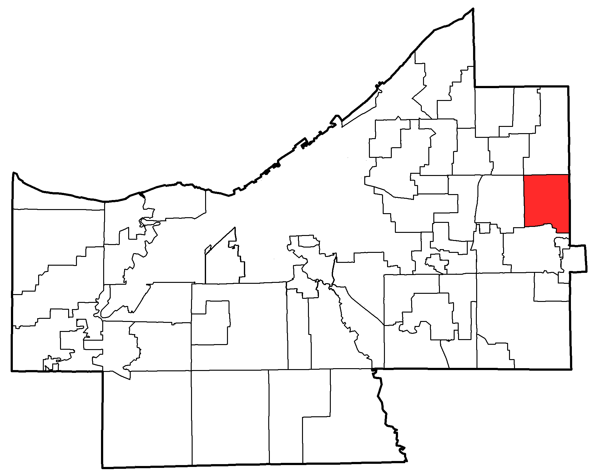
mapsize1 = 250px
map_caption1 = Location of Hunting Valley in Cuyahoga Countysubdivision_type = Country
subdivision_name =United States
subdivision_type1 = State
subdivision_name1 =Ohio
subdivision_type2 = Counties
subdivision_name2 = Cuyahoga, Geaugagovernment_footnotes =
government_type =
leader_title =
leader_name =
leader_title1 =
leader_name1 =
established_title =
established_date =unit_pref = Imperial
area_footnotes =area_magnitude =
area_total_km2 = 20.7
area_land_km2 = 20.7
area_water_km2 = 0.0
area_total_sq_mi = 8.0
area_land_sq_mi = 8.0
area_water_sq_mi = 0.0population_as_of = 2000
population_footnotes =
population_total = 735
population_density_km2 = 35.6
population_density_sq_mi = 92.1timezone = Eastern (EST)
utc_offset = -5
timezone_DST = EDT
utc_offset_DST = -4
elevation_footnotes = GR|3
elevation_m = 233
elevation_ft = 764
latd = 41 |latm = 28 |lats = 34 |latNS = N
longd = 81 |longm = 24 |longs = 4 |longEW = Wpostal_code_type =
ZIP code
postal_code = 44022
area_code = 440
blank_name = FIPS code
blank_info = 39-36918GR|2
blank1_name = GNIS feature ID
blank1_info = 1041884GR|3
website = http://www.huntingvalley.net/about.cfm/
footnotes =Hunting Valley is a wealthy, suburban village located east of Cleveland in Cuyahoga and Geauga counties in the
Northeast Ohio Region, the 14th largestCombined Statistical Area in theUnited States . As of the 2000 census, the village population was 735 and is ranked the 6th highest-income place in theUnited States .History
Hunting Valley is one of the five municipalities, along with Moreland Hills, Orange Village, Pepper Pike and Woodmere, that originally formed Orange Township, established in 1820. Orange Township was the birthplace of President James A. Garfield in 1831. In 1924, Hunting Valley was incorporated as a village encompassing the northeast quadrant of the original Orange Township.
Geography
Hunting Valley is located at coor dms|41|28|34|N|81|24|4|W|city (41.476019, -81.401233)GR|1.
According to the
United States Census Bureau , the village has a total area of 8.0square mile s (20.7km² ).None of the area is covered with water.Demographics
As of the
census GR|2 of 2000, there were 735 people, 284 households, and 241 families residing in the village. Thepopulation density was 92.1 people per square mile (35.6/km²). There were 317 housing units at an average density of 39.7/sq mi (15.3/km²). The racial makeup of the village was 99.05% White, 0.14% African American, 0.68% Asian, and 0.14% from two or more races. Hispanic or Latino of any race were 0.54% of the population. 17.4% were of English, 17.1% German, 11.0% Irish, 9.0% Italian, 5.7% American and 5.6% Russian ancestry according toCensus 2000 .There were 284 households out of which 27.8% had children under the age of 18 living with them, 77.8% were married couples living together, 4.9% had a female householder with no husband present, and 15.1% were non-families. 13.7% of all households were made up of individuals and 6.0% had someone living alone who was 65 years of age or older. The average household size was 2.59 and the average family size was 2.80.
In the village the population was spread out with 21.6% under the age of 18, 4.4% from 18 to 24, 14.4% from 25 to 44, 35.9% from 45 to 64, and 23.7% who were 65 years of age or older. The median age was 51 years. For every 100 females there were 99.2 males. For every 100 females age 18 and over, there were 91.4 males.
The median income for a household in the village was in excess of $200,000, as is the median income for a family. Males had a median income of over $100,000 versus $42,083 for females. The
per capita income for the village was $144,281. About 2.1% of families and 2.3% of the population were below thepoverty line , including 0.6% of those under age 18 and none of those age 65 or over.chools
Hunting Valley is served by the Orange City School System which is well known as an exceptional public school system.Hunting Valley is also home to
University School , a private all-boys day school in the Greater Cleveland Area.Culture
Hunting Valley is a possible inspiration for the fictional town of Hunting Hills in the book "
The Secret Lives of Fortunate Wives ", bySarah Strohmeyer .fact|date=May 2007References
External links
* [http://www.huntingvalley.net/about.cfm/ Hunting Valley Village website]
Wikimedia Foundation. 2010.