- Tualatin, Oregon
-
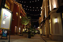
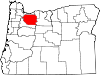
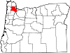
Tualatin, Oregon — City — Tualatin Commons at night Location in Oregon
Coordinates: 45°22′29″N 122°46′12″W / 45.37472°N 122.77°W Country United States State Oregon Counties Washington, Clackamas Incorporated 1913 Government – Mayor Lou Ogden Area – Total 7.8 sq mi (20.2 km2) – Land 7.8 sq mi (20.2 km2) – Water 0 sq mi (0 km2) Elevation 123 ft (37.5 m) Population (2010) – Total 26,054 – Density 2,928.5/sq mi (1,131.1/km2) Time zone Pacific (UTC-8) – Summer (DST) Pacific (UTC-7) ZIP code 97062 Area code(s) 503 FIPS code 41-74950[1] GNIS feature ID 1128254[2] Website www.ci.tualatin.or.us Tualatin (
 /tuːˈɔːlətɨn/) is a city located primarily in Washington County in the U.S. state of Oregon. A small portion of the city is also located in neighboring Clackamas County. It is a southwestern suburb in the Portland Metropolitan Area that is located south of Tigard. The population was 26,054 at the 2010 census.
Contents
History
The name of the city is taken from the Tualatin River, which flows along most of the city's northern boundary. According to Oregon Geographic Names, a post office with the spelling "Tualitin" was established November 5, 1869, and the spelling changed to "Tualatin" in 1915.
In the 1850s, the settlement was first called Galbreath after its founder Samuel Galbreath. In 1853, Galbreath built the first bridge over the Tualatin river, and the town became known as Bridgeport. In the 1880s, John Sweek platted a town around the new railroad depot, and named the town Tualatin. It was incorporated as the City of Tualatin in 1913.[3]
In 1962, a fossilized mastodon was excavated in what is now the Fred Meyer parking lot.[4]
Demographics
Historical populations Census Pop. %± 1980 7,483 — 1990 15,013 100.6% 2000 22,791 51.8% 2010 26,054 14.3% U.S. Decennial Census As of the census[1] of 2000, there were 22,791 people, 8,651 households, and 5,804 families residing in the city. The population density was 2,928.5 people per square mile (1,131.1/km²). There were 9,218 housing units at an average density of 1,184.4 per square mile (457.5/km²). The racial makeup of the city was 86.89% White, 0.79% African American, 0.69% Native American, 3.62% Asian, 0.37% Pacific Islander, 4.84% from other races, and 2.81% from two or more races. Hispanic or Latino of any race were 11.85% of the population.
There were 8,651 households out of which 39.1% had children under the age of 18 living with them, 54.1% were married couples living together, 9.3% had a female householder with no husband present, and 32.9% were non-families. 24.5% of all households were made up of individuals and 4.6% had someone living alone who was 65 years of age or older. The average household size was 2.62 and the average family size was 3.17.
In the city the population was spread out with 28.2% under the age of 18, 9.4% from 18 to 24, 35.6% from 25 to 44, 21.0% from 45 to 64, and 5.8% who were 65 years of age or older. The median age was 32 years. For every 100 females there were 99.2 males. For every 100 females age 18 and over, there were 96.8 males.
The median income for a household in the city was $55,762, and the median income for a family was $68,165. Males had a median income of $47,004 versus $32,210 for females. The per capita income for the city was $26,694. About 3.0% of families and 5.5% of the population were below the poverty line, including 4.9% of those under age 18 and 3.8% of those age 65 or over.
Geography
According to the United States Census Bureau, the city has a total area of 7.8 square miles (20.2 km²). None of the area is covered with water.[5]
Economy
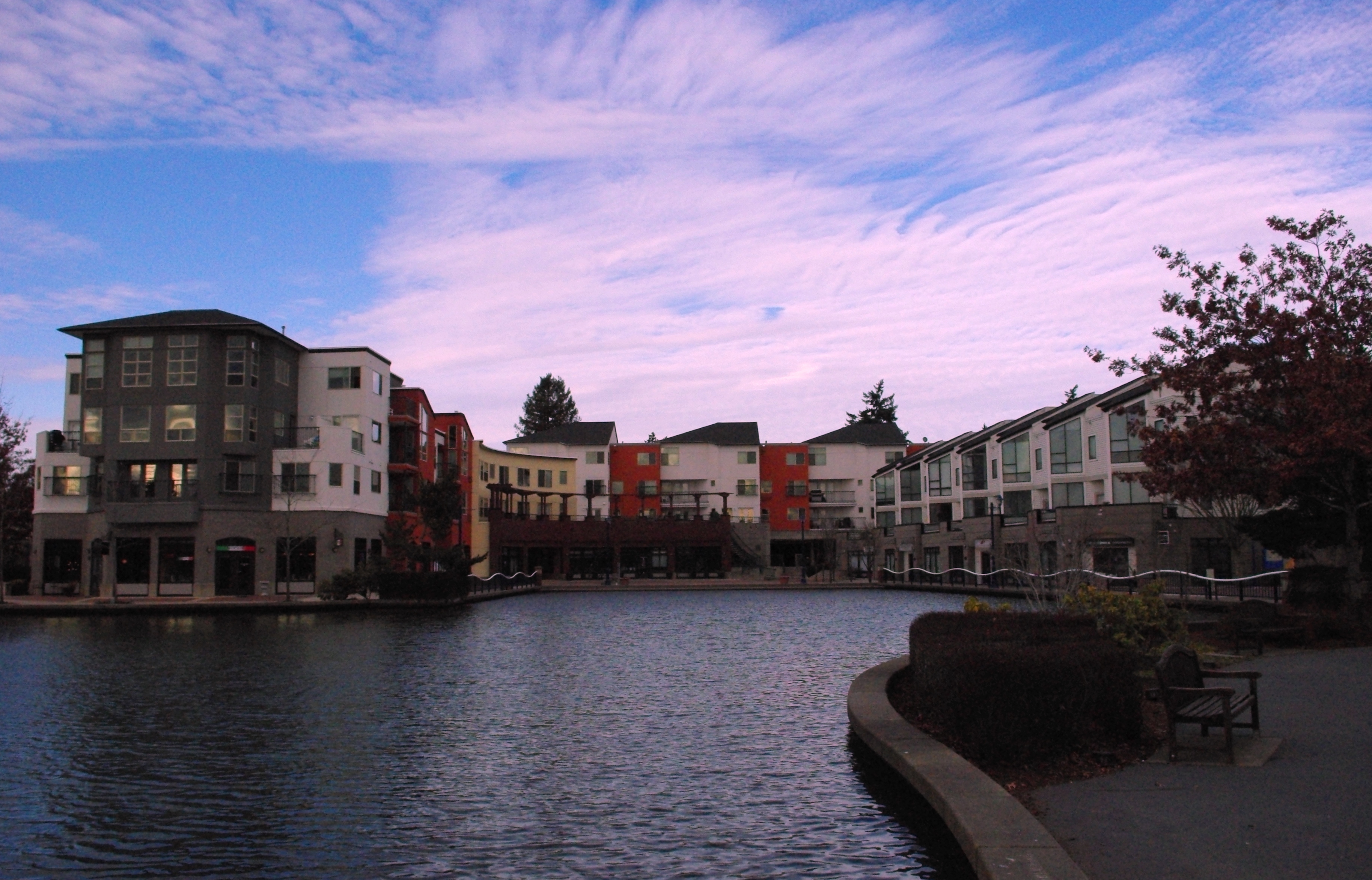
 Bridgeport Village
 Tualatin Commons
 Tualatin Station WES stop
Tualatin is home to a majority of Bridgeport Village ("Bridgeport"), an upscale shopping area that opened in early 2005.[6] (The northern part of Bridgeport Village is in Tigard.) Built at the site of a former quarry, Bridgeport was designed to be reminiscent of an open-air European-style shopping experience. It features an 18-screen movie theater, several national and regional chain restaurants, and many chain retail stores.
There are many factories on the south side of town, including a large Novellus Systems plant that makes electrochemical deposition tools for manufacturing semiconductors.[7] Knife manufacturers Kershaw Knives and CRKT are located in Tualatin.
From the 1960s through the 1980s, Tualatin was the home of Sunn Musical Equipment Company, a manufacturer of musical and sound reinforcement equipment.
Tualatin is sometimes used as a filming location for Hollywood movies, including Thumbsucker, which was filmed at Tualatin High School.
See also
Education
The city of Tualatin falls incompletely under the jurisdiction of the Tigard-Tualatin School District. This district contains 10 elementary schools, three middle schools, and two high schools. Of these schools, five are actually located within Tualatin city limits: Bridgeport Elementary School, Byrom Elementary School, Tualatin Elementary School, Hazelbrook Middle School, and Tualatin High School. The city also includes Arbor School of Arts and Sciences, an independent K8 school.
High schools
Middle schools
- Hazelbrook Middle School
Elementary schools
- Bridgeport Elementary
- Byrom Elementary
- Tualatin Elementary
- Deer Creek Elementary
A small section of the city is part of the West Linn-Wilsonville School District. Those students usually go to the same elementary, middle, and high schools: Stafford Primary, Athey Creek Middle School, and Wilsonville High School, respectively.
Media
- The Times, a weekly newspaper owned and operated by Portland-based Pamplin Media Group[8]
References
- ^ a b "American FactFinder". United States Census Bureau. http://factfinder.census.gov. Retrieved 2008-01-31.
- ^ "US Board on Geographic Names". United States Geological Survey. 2007-10-25. http://geonames.usgs.gov. Retrieved 2008-01-31.
- ^ http://www.ci.tualatin.or.us/community/history.cfm
- ^ Tualatin's Mastodon: "Tu Tu Tuala"
- ^ "US Gazetteer files: 2010, 2000, and 1990". United States Census Bureau. 2011-02-12. http://www.census.gov/geo/www/gazetteer/gazette.html. Retrieved 2011-04-23.
- ^ Bridgeport Village
- ^ http://www.shareholder.com/novellus/ReleaseDetail.cfm?ReleaseID=80249
- ^ [1]
External links
- City of Tualatin (official website)
- Oregon Blue Book listing for Tualatin
- UnSprawl Case Study: Tualatin Commons
Coordinates: 45°22′29″N 122°46′12″W / 45.374808°N 122.770067°W
Municipalities and communities of Clackamas County, Oregon Cities Barlow | Canby | Damascus | Estacada | Gladstone | Happy Valley | Johnson City | Lake Oswego‡ | Milwaukie‡ | Molalla | Oregon City | Portland‡ | Rivergrove‡ | Sandy | Tualatin‡ | West Linn | Wilsonville‡
CDPs Hamlets Village Unincorporated
communitiesBarton | Boring | Brightwood | Bull Run | Carus | Carver | Cazadero | Cherryville | Clackamas | Colton | Cottrell | Eagle Creek | Government Camp | Jean | Kelso | Ladd Hill | Lakewood | Liberal | Logan | Lone Elder | Macksburg | Marmot | Marquam | Marylhurst | Milwaukie Heights | Mountain Air Park | Needy | New Era | Redland | Rhododendron | Ripplebrook | Riverside | Shadowood | Springwater | Wankers Corner | Welches | Wemme | Yoder | Zigzag
Footnotes ‡This populated place also has portions in an adjacent county or counties
Municipalities and communities of Washington County, Oregon Cities Banks | Beaverton | Cornelius | Durham | Forest Grove | Gaston | Hillsboro | King City | Lake Oswego‡ | North Plains | Portland‡ | Rivergrove‡ | Sherwood | Tigard | Tualatin‡ | Wilsonville‡
CDPs Aloha | Bethany | Bull Mountain | Cedar Hills | Cedar Mill | Garden Home-Whitford | Metzger | Oak Hills | Raleigh Hills | Rockcreek | West Haven-Sylvan | West Slope
Unincorporated
communitiesBlooming | Bonny Slope | Buxton | Carnation | Cherry Grove | Dilley | Farmington | Gales Creek | Glenwood | Hayward | Helvetia | Kansas City | Kinton | Laurel | Laurelwood | Manning | Marlene Village | Middleton | Midway | Mountaindale | Mulloy | Norwood | Roy | Scholls | Timber | Tonquin | Verboort | West Union | Wilkesboro
Ghost towns Dixie | Greenville | Thatcher
Footnotes ‡This populated place also has portions in an adjacent county or counties
Categories:- Cities in Oregon
- Populated places in Clackamas County, Oregon
- Populated places in Washington County, Oregon
- Tualatin, Oregon
- Portland metropolitan area


Wikimedia Foundation. 2010.