- Darkhast Jamal Khan
-
Darkhast Jamal Khan — Union council and town — Location in Pakistan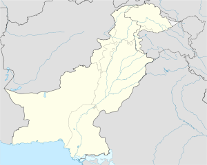
 Darkhast Jamal Khan
Coordinates: 29°41′50″N 70°28′20″E / 29.69722°N 70.47222°E Country Pakistan Province Punjab District Dera Ghazi Khan District Elevation 367 ft (112 m) Time zone PST (UTC+5) – Summer (DST) +6 (UTC) Darkhast Jamal Khan is a town and union council of Dera Ghazi Khan District in the Punjab province of Pakistan.[1] It is located at 29°41'50N 70°28'20E and has an altitude of 112 metres (370 feet).[2]
References
Tehsils Union councils Aaliwala · Bahadur Garh · Barthi · Basti Fauja · Basti Malana · Chhabri · Choti Zerine · Chotibala · Churatta · Darkhast Jamal Khan · Drahma · Fateh Khan · Fazal Katchh · Gadai · Ghaus Abad · Haji Ghazi · Hero Sharqi · Jakhar Imam Shah · Jaluwali · Jhoke Uttra · Kala · Khakhi · Kot Chutta · Kot Haibat · Kot Mubarak · Kot Qaisrani · Lakhani · Makwal Kalan · Mamoori · Mana Ahmadani · Mangrotha · Morejhangi · Mubaraki · Mutafariq Chahan · Nari Shumali · Nawan · Notak · Paigah · Pir Adil · Ramin · Sakhi Sarwar · Samina · Shadan Lund · Shah Sadar Din · Sokar · Tibbi Qaisrani · Tuman Leghari · Tuman Qaisrani · Vehoa · Wadore · YarooCoordinates: 29°41′50″N 70°28′20″E / 29.69722°N 70.47222°E
Categories:- Populated places in Dera Ghazi Khan District
- Union councils of Dera Ghazi Khan District
- Dera Ghazi Khan District geography stubs

Wikimedia Foundation. 2010.