Desert Christ Park

Desert Christ Park

Coordinates: 34°7′45.19″N 116°26′22.28″W / 34.1292194°N 116.4395222°W / 34.1292194; -116.4395222

Desert Christ Park
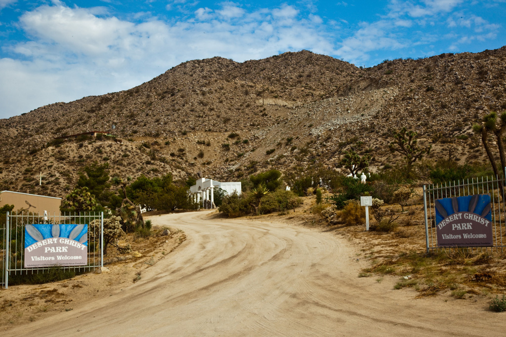
Established 1951
Location 56158 Sunnyslope Dr., Yucca Valley, CA United States.
Type sculpture park
Website [1]

Desert Christ Park is a 3.5-acre (14,000 m2) sculpture garden in Yucca Valley, California. The park was sculpted and created by Antone Martin, a former aircraft worker who died in 1961 at the age of 74. Martin started sculpting the figures during the height of the Cold War atomic bomb scare of the mid-1940s, hoping that the sculptures would inspire global peace. Sculptures include The Twelve Apostles, Martha, Mary, angels, and a 15-foot-tall, 3 ton statue of Jesus, reminiscent of Rio de Janeiro's famous and much larger hilltop Christ the Redeemer. The park was neglected between 1988 and 1996, while the ACLU sued San Bernardino County for separation of church and state issues, after which a nonprofit foundation took over and renovated the park.[1]

References


Wikimedia Foundation. 2010.

Игры ⚽ Нужен реферат?

Look at other dictionaries:

  • The Church of Jesus Christ of Latter-day Saints — Classification Latter Day Saint movement Theology Nontrinitarian, Mormonism Governance …   Wikipedia

  • Latter Day Church of Christ — For the church formally established by Joseph Smith, Jr. in 1830, see Church of Christ (Latter Day Saints). The Latter Day Church of Christ[1] is a Mormon fundamentalist denomination in the Latter Day Saint movement, and is also known as the… …   Wikipedia

  • Capitol Reef National Park — Infobox protected area | name = Capitol Reef National Park iucn category = II caption = locator x = 64 locator y = 84 location = Wayne, Garfield, Sevier, and Emery counties, Utah, USA nearest city = Torrey lat degrees = 38 lat minutes = 12 lat… …   Wikipedia

  • Everglades National Park — IUCN Category Ib (Wilderness Area) …   Wikipedia

  • This Is The Place Heritage Park — The This Is The Place Heritage Park is located on the east side of Salt Lake City, Utah, at the foot of the Wasatch Range and near the mouth of Emigration Canyon. HistoryThe location of the park is where, on July 24, 1847, Brigham Young first saw …   Wikipedia

  • Morongo Basin —   Region of the Inland Empire   Twentynine Palms County San Bernardino …   Wikipedia

  • Yucca Valley — 34° 07′ 34″ N 116° 24′ 59″ W / 34.12611111, 116.41638889 …   Wikipédia en Français

  • San Diego–Tijuana — This article is about the international metropolitan region. For the cites of San Diego and Tijuana, see San Diego and Tijuana. Coordinates: 32°32′31.87″N 117°01′46.63″W /  …   Wikipedia

  • Mormon Battalion — Monument by Edward J. Fraughton, Presidio Park, San Diego, California. The Mormon Battalion was the only religiously based unit in United States military history,[1] and it served from July 1846 to July 1847 during the Mexican American War. The… …   Wikipedia

  • Coachella Valley — For the city, see Coachella, California. For the high school, see Coachella Valley High School. Coachella Valley Coachella Valley (   …   Wikipedia

Share the article and excerpts

Direct link
Do a right-click on the link above
and select “Copy Link”