- Nevada State Route 165
-
State Route 165
Nelson Road Route information Maintained by NDOT Length: 11.002 mi[1] (17.706 km) Existed: 1976 – present Major junctions South end: Nelson North end:  US 95 south of Boulder City
Highway system ←  SR 164
SR 166  →
→State Route 165 (SR 165) is a state highway near the southern end of the U.S. state of Nevada. The road connects the town of Nelson to U.S. Route 95. The road originated in the 1940s and was one section of former State Route 60 until the 1970s.
Contents
Route description
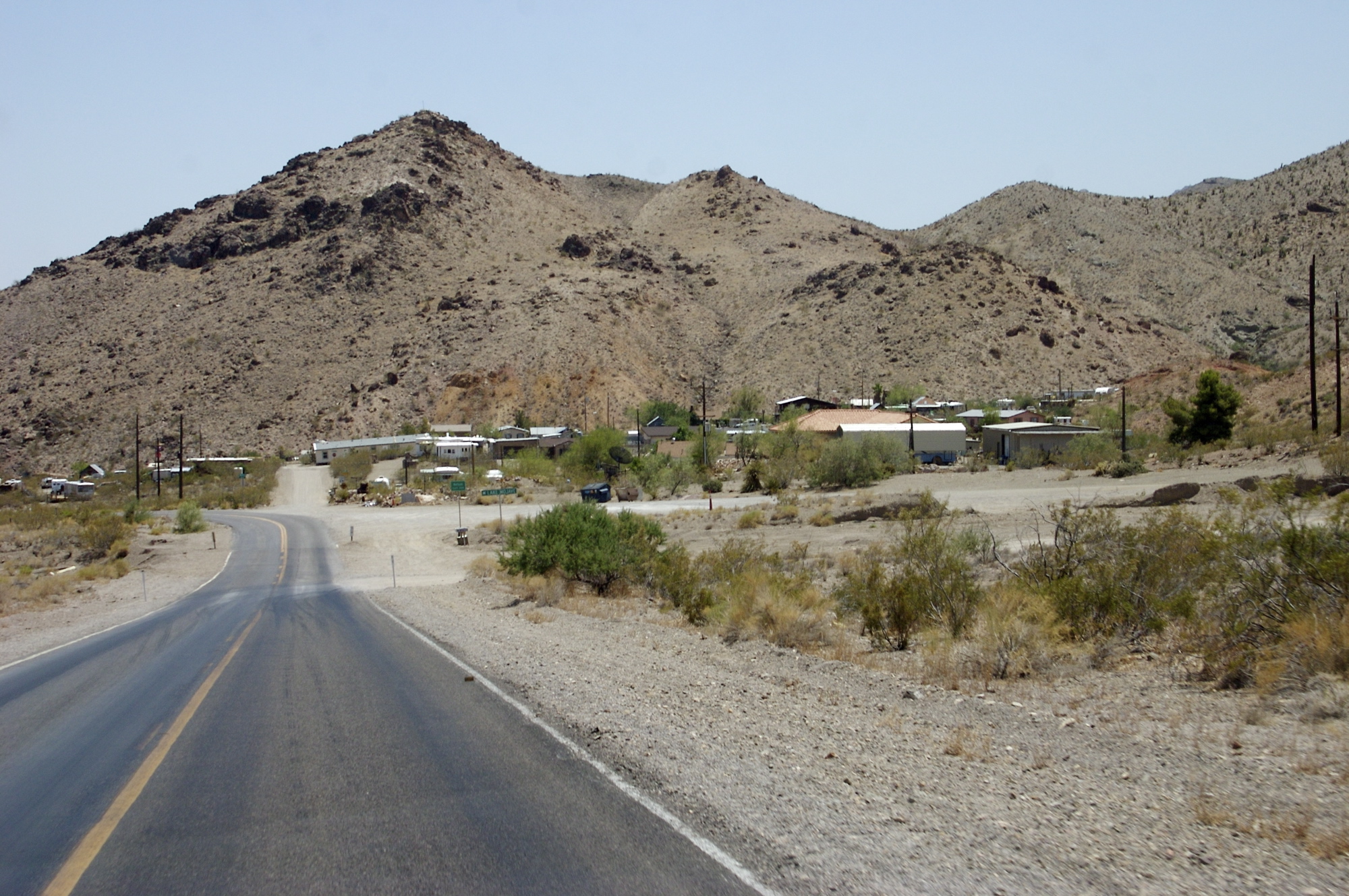
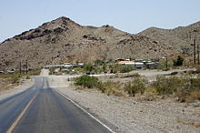 State Route 165 entering the town of Nelson
SR 165 begins at a junction with US 95 approximately 10 miles (16 km) south of Boulder City. From there, the state highway follows Nelson Road in a southeasterly direction through Eldorado Valley 11 miles (18 km) to its end just outside the town of Nelson.[1][2] The town of Nelson was established in 1905 following several mining claims being discovered in the valley. Although the small community is still inhabited, the remains of many mining operations and abandoned structures can still be seen in the vicinity.[3]
History
 SR 165 was the northwest leg of State Route 60 prior to 1976
The route first appears on state highway maps in 1941 as part of State Route 60, a three-pronged route with each spoke connecting to the town of Nelson. The 16-mile (26 km) northwest leg connected to US 95 about 4 miles (6.4 km) south of Boulder City while the 10-mile (16 km) southwest leg reached US 95 further south via the Nelson Cutoff Road. The third leg of SR 60 ran east from Nelson 7 miles (11 km) to the Colorado River.[4] Both the northwest and eastern legs of the route were completely paved by 1951.[5]
State Route 60 remained largely unchanged until the Nevada began renumbering of its state highway system on July 1, 1976.[6] The northwest leg of old SR 60 was renumbered to State Route 165 in this process, and by this time was realigned to be only 12 miles (19 km) long.[7] The remaining legs of SR 60 have since gone unnumbered.
Major intersections
The entire route is in Clark County.
Location Mile[1] Destinations Notes 0.00 US 95 – Las Vegas, NeedlesNelson 11.00 Nelson Road Continuation beyond terminus 1.000 mi = 1.609 km; 1.000 km = 0.621 mi References
- ^ a b c State Maintained Highways of Nevada: Descriptions and Maps. Nevada Department of Transportation. January 2011. http://www.nevadadot.com/Documents/State_Maintained_Highways,_Descriptions,_Index___Maps.aspx. Retrieved 21 March 2011.
- ^ Nevada Department of Transportation (1985). Quadrangle 13-2 (Map). http://www.nevadadot.com/uploadedFiles/NDOT/Traveler_Info/Maps/quad1302.pdf. Retrieved 21 March 2011.
- ^ Moreno, Richard (2000). Roadside History of Nevada. Missoula: Mountain Press Publishing Company. pp. 259–260. ISBN 0-87842-410-5.
- ^ Nevada Department of Highways (1941). Official Road Map of the State of Nevada (Map). http://contentdm.library.unr.edu/cdm4/document.php?CISOROOT=/hmaps&CISOPTR=577&REC=15. Retrieved 28 June 2008.
- ^ Nevada Department of Highways (1951). Official Highway Map of Nevada (Map). http://contentdm.library.unr.edu/cdm4/document.php?CISOROOT=/hmaps&CISOPTR=584&REC=3. Retrieved 28 June 2008.
- ^ Nevada State Maintained Highways: Descriptions, Index and Maps. Nevada Department of Transportation. January 2001. p. 98.
- ^ Nevada State Highway Department (1978-1979). Official Highway Map of Nevada (Map). http://contentdm.library.unr.edu/cdm4/document.php?CISOROOT=/hmaps&CISOPTR=607&REC=6. Retrieved 28 June 2008.
Categories:- Eldorado Valley
- State highways in Nevada
- Transportation in Clark County, Nevada

Wikimedia Foundation. 2010.