- Chimaltenango
-
Chimaltenango Church Location in Guatemala
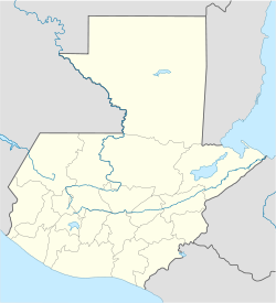
 Chimaltenango
Coordinates: 14°39′44″N 90°49′15″W / 14.66222°N 90.82083°WCoordinates: 14°39′44″N 90°49′15″W / 14.66222°N 90.82083°W Country  Guatemala
Department Chimaltenango Population (2002) - Total 43,900 Chimaltenango is a town in Guatemala of some 43,900 people (as of 2002)[citation needed]. It serves as both the capital of the department of Chimaltenango and the municipal seat for the surrounding municipality of the same name. Chimaltenango stands some 35 miles west of Guatemala City, on the Pan-American Highway.
In Pre-Columbian times what is now the city of Chimaltenango was known as B'oko' . Like many other cities in the area, the Spanish Conquistadores used the name given by their Nahuatl speaking allies from central Mexico. The Nahuatl name was Chimaltenanco, or Shield-Town.
The city produces textiles and pottery. It is also the home of the Rose Education Foundation, a non-profit organization working to make educational opportunities available to children living in rural areas in Guatemala.
Sports
América de Chimaltenango football club has played the 2009/2010 season in Guatemala's second division. They play their home games in the Estadio Municipal de Chimaltenango.
References
- CHIMALTENANGO from Guatemala.
External links
- CHIMALTENANGO from Guatemala.
- Monografia del municipio de Chimaltenango, Dirección Departamental de Educación de Chimaltenango (Spanish)
Capital: Chimaltenango Municipalities Acatenango · Chimaltenango · El Tejar · Parramos · Patzicía · Patzún · Pochuta · San Andrés Itzapa · San José Poaquil · San Juan Comalapa · San Martín Jilotepeque · Santa Apolonia · Santa Cruz Balanyá · Tecpán Guatemala · Yepocapa · Zaragoza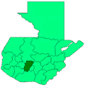 Categories:
- Municipalities of the Chimaltenango Department
- Populated places in Guatemala


Wikimedia Foundation. 2010.