- Matagalpa
-
Matagalpa
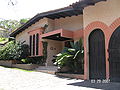
San Pedro de Matagalpa— Municipality — Matagalpa's Cathedral
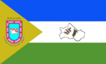
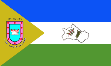
Flag
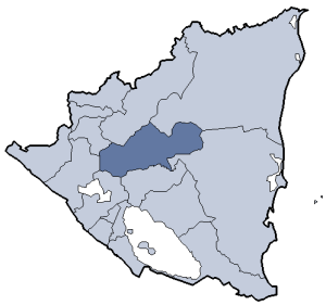
SealLocation in Nicaragua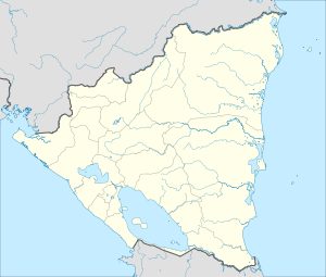
 Matagalpa
Coordinates: 12°55′N 85°55′W / 12.917°N 85.917°W Country  Nicaragua
Department Matagalpa Department Area - Municipality 247.4 sq mi (640.65 km2) Population (2005) - Municipality 480,000 - Metro 109,100 Matagalpa is a city in Nicaragua, the capital of the department of Matagalpa. The city has a population of 109,100 (2005 census), while the population of the department is more than 480,000. Matagalpa is Nicaragua's fifth largest city and one of its most commercially active outside of Managua. Matagalpa is the second most important city in Nicaragua and is known as the "Pearl of the North" and "Land of Eternal Spring."
Contents
Origin of the name
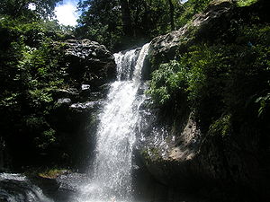 waterfall in Apante area of Matagalpa
According to Jeronimo Perez, a historian who visited this area in 1855-1856 the name Matagalpa means Cabeza Principal (Main Head) or Pueblo Grande (Big Town) from the Matagalpa Indian language words: Maika=Head, Calpul* Town- But according to the Matagalpan linguist father Guillermo Kiene, a Catholic priest and missionary who lived from 1898 to 1959, the word Matagalpa comes from the Sumo language, and means "let's go where the rocks are."
There have been other descriptions of the word Matagalpa: -Here next to the water, and -Among Mountains ( "Aqui junto al agua" y "Entre Montañas"). These descriptions are believed to be related to the geographic location of the city, which is next to the Grand River of Matagalpa, and also beautifully surrounded by mountains.
The most precise interpretation was given by the historian Jeronimo Perez in 1856, is that the name Matagalpa comes from the Matagalpa Indian Language, and means "Pueblo Grande" (Big Town), from Maika= Head, Calpull=Town
Pre-Colonial History
Matagalpa was originally an indigenous village. The Matagalpa Indians had their own language, but since 1875 it had been considered extinct, but efforts are being made by local linguists and antropologist to recover it from Indians who still speak it in remote areas of this province. A document from the year 1855 with 97 words and phrases from the Matagalpa language can be found in the Daniel G. Brinton section of the American Philosophical Library in Philadelphia.
Besides their own language distinct from the other languages formerly spoken in Nicaragua, the Matagalpa Indian made original ceramics known as "Ceramica Negra" and "Naranja Segovia", they also built stone statues representing their chieftain and warriors. They were feared by the Spanish because they were very brave and effective with their bows and archs arms. It took 300 years for the Spanish to submit them, even at the time of Nicaragua Independence in 1821 there were many Matagalpa Indians free in the central mountains of Nicaragua. In 1856 they were decisive to defeat William Walker's filibusteers in the Battle of San Jacinto on Sept 14th, 1856, where a column of 60 Matagalpa Indians with bow and arrows fought at the side of Nicaraguan Patriots winnig that battle, which marked the end of Walker adventure in Nicaragua. That quest has been recognized by historians and arqueologist, and there is a popular movement to declare the Matagalpa Indians as National Heroes by the Congress of the Republic next month of September 2011.
Post-Colonial History
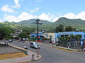
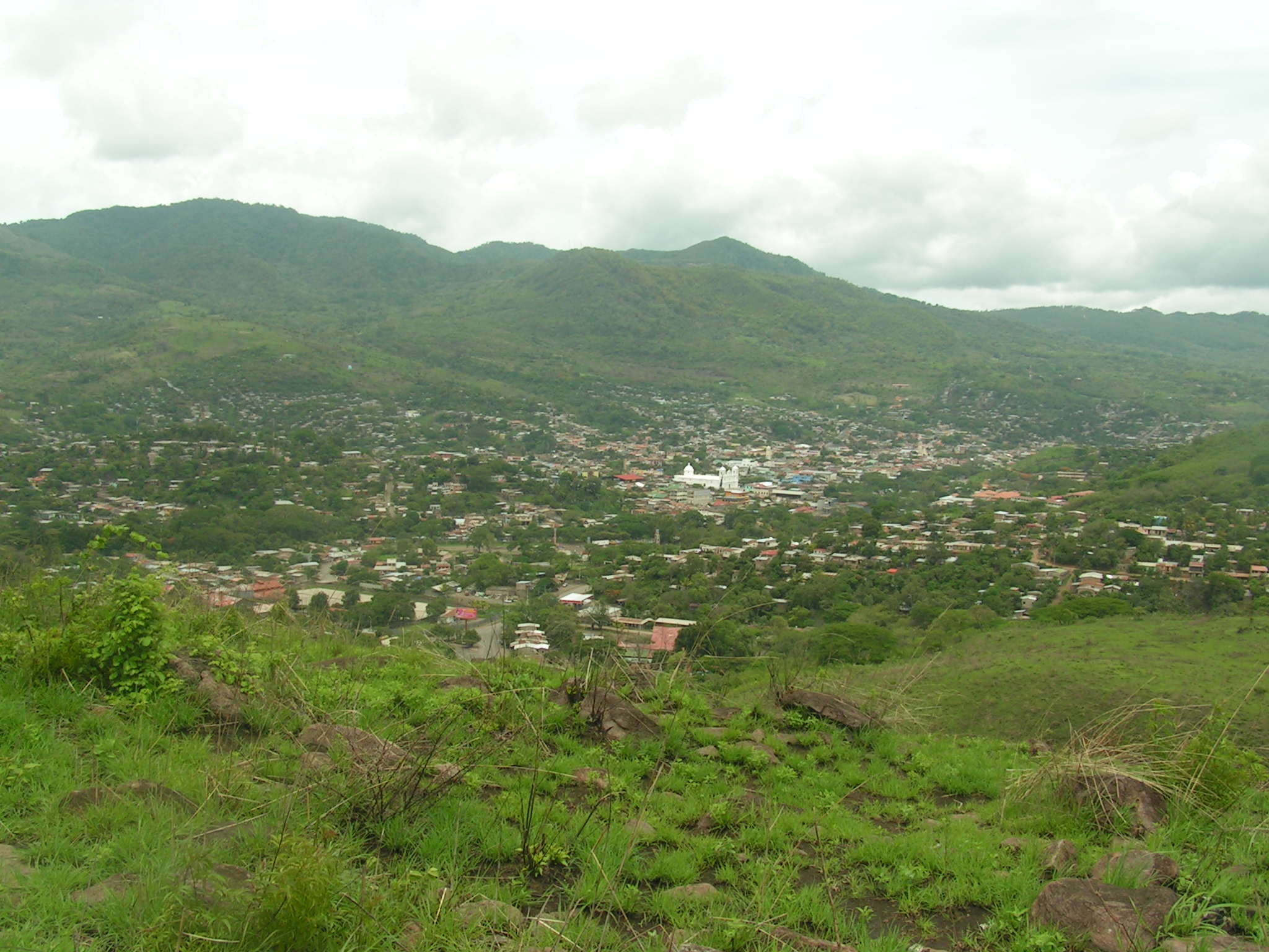
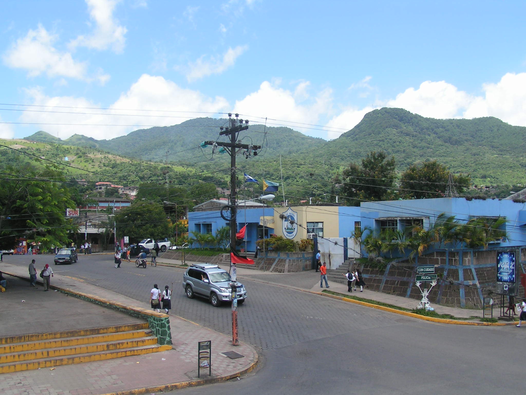
 View of downtown from one of the surrounding hills
Matagalpa was an existing Indian town when the firstsSpaniards came to this region by 1528 during an attempt to find a water passage to the "Northern Sea", the Caribbean. (Nicaragua's Spanish colonization originated from the direction of the Pacific Ocean, which was called the Southern Sea by the Spaniards.
Matagalpa is located in the continental divide between the Pacific Ocean and the Caribbean Sea. Many stories are preserved from colonial times about the British-controlled Mosquito Coast, and the Spanish-colonized Pacific area.
Gold was discovered around Matagalpa by 1840. Along with many Spaniards and Mestizos, it attracted German, American and British immigrants. Two of the better known immigrants of this period were Ludwig Elster (from Hannover) and his wife Katharina Braun (from Schwarzwald, Germany [Black Forest]]) who planted the first coffee trees in the area, the beans from which quickly went to market in Germany. Coffee agriculture attracted more than 120 European immigrants, many of whom married Matagalpan women, and many of their descendants still live in the area.
In 1923 some Danish immigrants also came to Matagalpa, and settled in the highlands as well. Most of the Danish families went back to Denmark. Three families stayed, the Gröns, the Möllers, and Petersen.
Matagalpa was also the city of refuge for many Nicaraguans escaping the invasion of Tennessean filibuster William Walker who took over much of the country and government in 1856. In Matagalpa the patriots organized the Ejército del Setentrión ("Army of the North"), which fought in and won the Battle of San Jacinto assisted by 60 Matagalpa Indian on September 14, 1856, helping to end Walker's rule.
 Visitor at Selva Negra Mountain Resort.
Matagalpa was also the birthplace of Nazario Vega, Governor and builder of the Cathedral; Bartolomé Martínez, President of Nicaragua, 1923–24; and Carlos Fonseca Amador, founder of the Sandinista Front in 1961.
Currently the department of Matagalpa is the second most populous in Nicaragua after the national capital (Managua, and the most diversified in production. Over the past few years Matagalpa has experienced a large influx of migrants (mainly peasants) from other departments, causing stress on infrastructure and the environment.
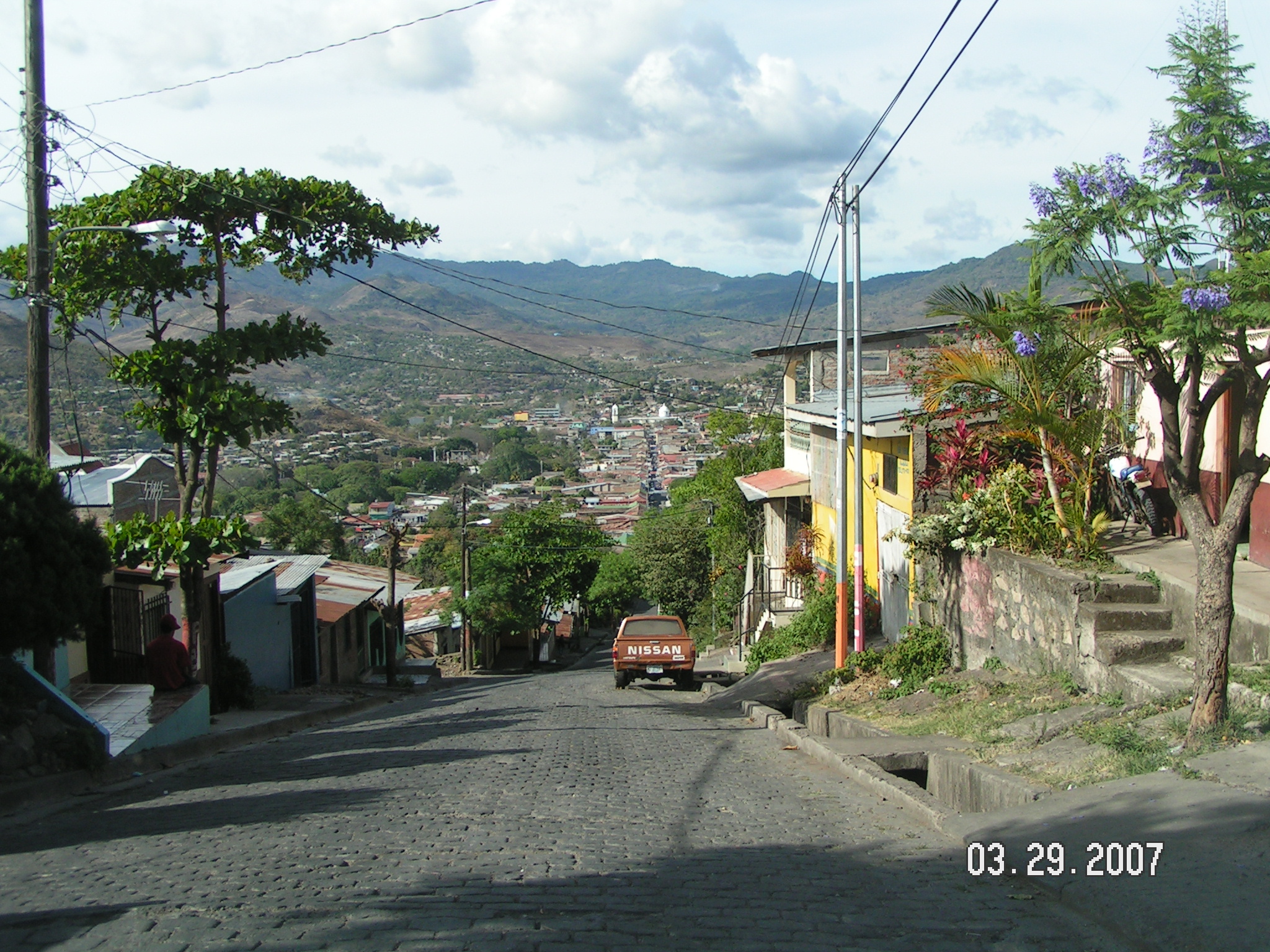
Matagalpa has a beautiful panoramic highway that starts in the city of Matagalpa and extends 30 kilometers to the city of Jinotega. Nice scenic views reach up to 140 kilometers away up to the volcanic range near the Pacific coast.
Many historians, archeologists, botanists and ethnologists have arrived in recent years to do research in this region. American and European descendants of the first settlers are also returning to visit the historical homes of their ancestors.
Economy
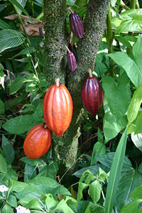 The Cocoa is one of the main Productions of Matagalpa.
Matagalpa is a very well diversified province. It produces and exports beef, cheese, coffee, cacao, onions, tomatoes and mixed fruits and vegetables. For local consumption it produces flowers, wood, corn, beans, fruits (oranges, grapefruits, bananas, plantains) and many kinds of vegetables such as broccoli, and cauliflower.
Matagalpa is known for its good coffee, its cattle, milk products, vegetables, flowers and mountains popular with ecotourists. It is the location of such storied mountain tourist resorts as Aranjuez, Santa Maria de Ostuma, and Selva Negra Mountain Resort.
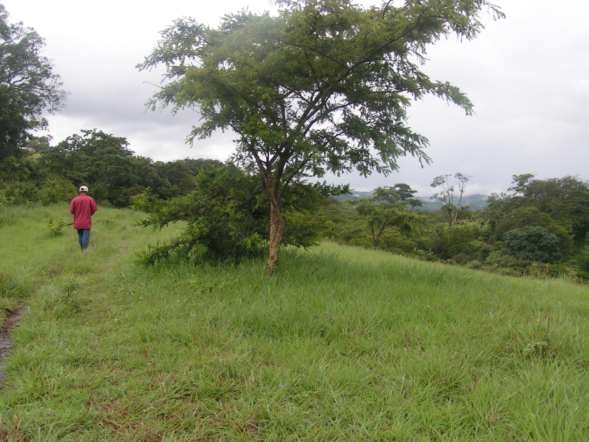
A large part of the economy in Matagalpa depends on eco-tourism. Nature hikes, walks, and excursions are very common throughout Matagalpa, and the northern region on Nicaragua.
Recently a large water project has been completed. A potable water system and a new waste water treatment facility were funded and built by the German government.
A new extension of the paved highway Managua-Sebaco-Matagalpa-Jinotega has been completed.
Climate
Matagalpa, along with nearby Jinotega, enjoy "eternal spring" or all year, spring like weather. Matagalpa lies more than 700 meters above sea level with average temperature ranging from 26 °C to 28 °C., and relative humidity between 75% to 85%. Average rainfall is 1200 to 1900 mm.
Climate data for San José, Costa Rica Month Jan Feb Mar Apr May Jun Jul Aug Sep Oct Nov Dec Year Average high °C (°F) 21
(70)23
(73)25
(77)27
(81)27
(81)27
(81)28
(82)28
(82)27
(81)24
(75)23
(73)22
(72)25.2
(77.3)Average low °C (°F) 15
(59)16
(61)17
(63)18
(64)19
(66)19
(66)19
(66)18
(64)18
(64)17
(63)16
(61)15
(59)17.3
(63.1)Precipitation mm (inches) 15
(0.59)5
(0.2)20
(0.79)46
(1.81)229
(9.02)241
(9.49)211
(8.31)241
(9.49)305
(12.01)300
(11.81)145
(5.71)41
(1.61)1,799
(70.83)Source: BBC Weather[1][dead link] Gallery
-

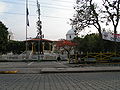
Main Street to Parque Morazan and Cathedral
-
Child on way to school through Parque Morazan
-

View from second floor of house near Parque Morazan and the Cathedral
-
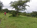
Backyard in Apante, Matagalpa, near overlook of downtown
-

Overlook of downtown from Matagalpa-Jinotega highway during the dry season
-
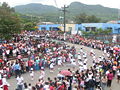
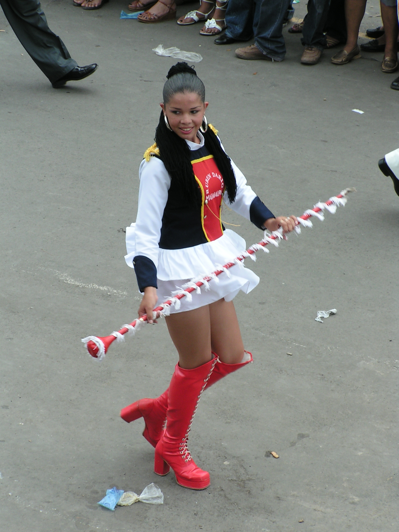
2007 Independence Day parade
-

2007 Independence Day parade
-
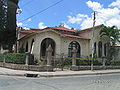
Home in Matagalpa
-

Home in Matagalpa
-
Home in Matagalpa
-
Main Police Station in Matagalpa
International relations
Main article: List of twin towns and sister cities in NicaraguaTwin towns — Sister cities
Matagalpa is twinned with:
 Wuppertal, Alemania
 Tilburg, Netherland
 Sabadell, España
 Gainesville, United States
 San Pedro Sula, Honduras
 Liverpool, Reino Unido
 Valparaíso, Chile
- San Francisco, USA
 Retalhuleu, Guatemala
References
- ^ "San José". BBC Weather Centre. http://www.bbc.co.uk/weather/world/city_guides/results.shtml?tt=TT001810. Retrieved 2008-06-24.
External links
Coordinates: 12°55′N 85°55′W / 12.917°N 85.917°W
Capital: Matagalpa Municipalities · Ciudad Darío · Esquipulas · Matagalpa · · Matiguas · Muy Muy · Rancho Grande · Río Blanco · San Dionisio · San Isidro · San Ramón · Sébaco · Terrabona · Tuma-La Dalia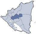 Categories:
- Populated places in Nicaragua
- Municipalities of the Matagalpa Department
- Populated places established in 1554
-


Wikimedia Foundation. 2010.