- Kwara State
-
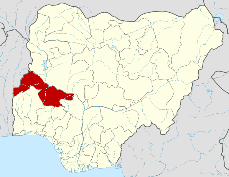
Kwara State — State — Nickname(s): State of Harmony Location of Kwara State in Nigeria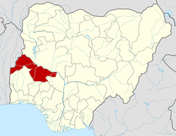
Coordinates: 8°30′N 5°00′E / 8.5°N 5°ECoordinates: 8°30′N 5°00′E / 8.5°N 5°E Country  Nigeria
Date created 27 May 1967 Capital Ilorin Government – Governor
(List)Abdulfatah Ahmed (PDP) – Senators – Representatives Area – Total 36,825 km2 (14,218.2 sq mi) Area rank 9th of 36 Population (1991 census) – Total 1,566,469 – Estimate (2005) 2,591,555 – Rank 31st of 36 – Density 42.5/km2 (110.2/sq mi) GDP (PPP) – Year 2007 – Total $3.84 billion[1] – Per capita $1,585[1] Time zone WAT (UTC+01) ISO 3166 code NG-KW Kwara State (Yoruba: Ìpínlẹ̀ Kwárà) is one of the 36 states of Nigeria. Its capital is Ilorin. The primary ethnic group of Kwara State is Yoruba, with significant Nupe, Bariba and Fulani minorities.[citation needed]
Contents
History
Kwara State was created on 27 May 1967, when the Federal Military Government of General Yakubu Gowon broke the four regions that then constituted the Federation of Nigeria into 12 states. At its creation, the state was made up of the former Ilorin and Kabba provinces of the then Northern Region and was initially named the West Central State but later changed to "Kwara", a local name for the River Niger.
Kwara State has since 1976 reduced considerably in size as a result of further state creation exercises in Nigeria. On 13 February 1976, the Idah/Dekina part of the state was carved out and merged with a part of the then Benue/Plateau State to form Benue State.
On 27 August 1991, five local government areas, namely Oyi, Yagba, Okene, Okehi and Kogi were also excised to form part of the new Kogi State, while a sixth, Borgu Local Government Area, was merged with Niger State.
Local Government Areas
There are sixteen Local Government Areas in the state. They are:
Tourism
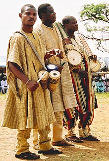 Drummers in Ojumo Oro, Kwara State.
Important tourist attractions in Kwara State include Esie Museum, Owu Falls, Imoleboja Rock Shelter, Ogunjokoro, Kainji Lake National Parks and Agbonna Hill.
Transport
The Nigerian Railway Corporation extends services from Lagos through the state to the northern part of the country. The Ilorin Airport is a major center for both domestic and international flights and has now been built up into a hub for transportation of cargoes.
Economy
Agriculture is the main source of the economy and the principal cash crops are: cotton, cocoa, coffee, Kolanut, tobacco, beniseed and palm produce.
Mineral resources in the state are limestone, marble, feldspar, clay, kaolin, quartz and granite rocks.
Industries in the state include Kwara Breweries, Ijagbo Global Soap and Detergent Industry, United Match Company, Tate and Lyle Company, Resinoplast Plastic Industry, Phamatech Nigeria Limited, Kwara Textile and Kwara Furniture Company all in Ilorin. Others are Paper Manufacturing Industry, Jebba, Okin Foam and Okin Biscuits, Offa, Kay Plastic, Ganmo and Kwara Paper Converters Limited, Erin-De. Others are Sugar Producing Company, Bacita, Kwara animal Feed Mall, Ilorin and the Agricultural Products Company, Bacita.
Education
The state has a federal university,The University of Ilorin, a state university (http://www.kwasu.edu.ng) that commenced in the 2009/2010 session and a private university, two polytechnics, three colleges of education, school of Health technology and school of nursing. It also has a navy school.
Sports
Sporting activities are managed by the State Sports Council. The importance attached to sports led to the construction of a stadium complex. The facilities available at the stadium complex are mainbowl, indoor sports hall, hostel, recreational press center as well as an Olympic size swimming pool.
Notable people from Kwara State
- Cornelius Adebayo, politician
- Tunde Adebimpe, musician
- David Bamigboye, soldier
- Theophilus Bamigboye, soldier and politician
- Ibrahim Gambari, diplomat
- Salaudeen Latinwo, soldier
- David Oyedepo, cleric
- Abubakar Olusola Saraki, politician
- Bukola Saraki, politician
References
- ^ a b "C-GIDD (Canback Global Income Distribution Database)". Canback Dangel. http://www.cgidd.com. Retrieved 2008-08-20.
David Bamigboye • Ibrahim Taiwo • George Innih • Sunday Ifere • Adamu Atta • Cornelius Adebayo • Salaudeen Latinwo • Mohammed Ndatsu Umaru • Ahmed Abdullahi • Ibrahim Alkali • Alwali Kazir • Shaaba Lafiaji • Mustapha Ismail • Baba Adamu Iyam • Peter Ogar • Rasheed Shekoni • Mohammed Lawal • Bukola Saraki • Abdulfatah Ahmed States of Nigeria
Abia · Abuja Federal Capital Territory · Adamawa · Akwa Ibom · Anambra · Bauchi · Bayelsa · Benue · Borno · Cross River · Delta · Ebonyi · Edo · Ekiti · Enugu · Gombe · Imo · Jigawa · Kaduna · Kano · Katsina · Kebbi · Kogi · Kwara · Lagos · Nasarawa · Niger · Ogun · Ondo · Osun · Oyo · Plateau · Rivers · Sokoto · Taraba · Yobe · Zamfara
Categories:- States of Nigeria
- Kwara State
- States in Yorubaland
- States and territories established in 1967

Wikimedia Foundation. 2010.