Marston, Cheshire

Marston, Cheshire
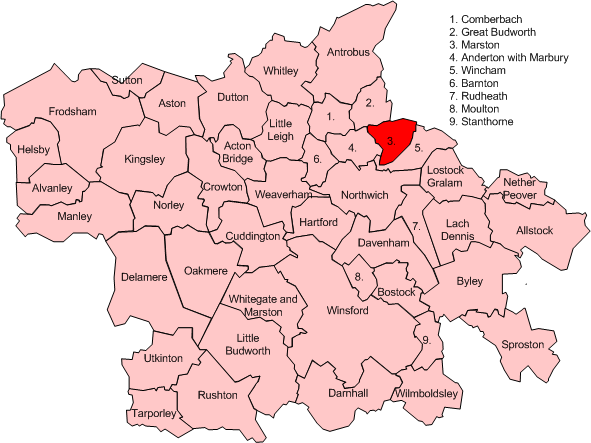
Map of civil parish of Marston within the former borough of Vale Royal

Marston is a village and civil parish in the unitary authority of Cheshire West and Chester and the ceremonial county of Cheshire in the north west of England, on the River Weaver, close to Anderton and the Anderton Boat Lift; it lies south of Great Budworth and north of Northwich.

It is the site of the Lion Salt Works, now an industrial museum.

External links

Media related to Marston, Cheshire at Wikimedia Commons

Coordinates: 53°16′N 2°30′W / 53.267°N 2.5°W / 53.267; -2.5


Wikimedia Foundation. 2010.

Игры ⚽ Нужна курсовая?

Look at other dictionaries:

  • Marston — is the name of several places in the United Kingdom: Marston, Cheshire Marston, Herefordshire Marston, Lincolnshire Marston, Oxfordshire Marston, Brewood, Staffordshire Marston, Stafford, Staffordshire Marston, Warwickshire Marston, Wiltshire… …   Wikipedia

  • Marston — ist der Familienname folgender Personen: Elizabeth Holloway Marston (1893–1993), US amerikanische Psychologin George Marston (1882–1940), britischer Maler und Grafiker Gilman Marston (1811–1890), US amerikanischer Politiker und Armeeoffizier John …   Deutsch Wikipedia

  • Cheshire — Grafschaft Cheshire Geografie Status Zeremonielle Grafschaft Region: North West England Fläche 2.343 …   Deutsch Wikipedia

  • Marston Moor order of battle — This is the order of battle of the armies which fought on 2 July 1644 at the Battle of Marston Moor. Contents 1 Scots and Parliamentarians 1.1 Scottish Army of the Solemn League and Covenant 1.2 Parliamentarian Army of the Eastern Association …   Wikipedia

  • St Paul's Church, Marston — was in the village of Marston, Cheshire, England. The church was built in 1874 and designed by the Chester architect John Douglas. It was a small church with lancet windows and a miniature spire at the west end with a spire. The church has been… …   Wikipedia

  • Battle of Marston Moor — Part of English Civil War The Battle of Marston Moor, by J. Barker …   Wikipedia

  • Civil parishes in Cheshire — A map of Cheshire, showing the Boroughs : (1) Cheshire West and Chester; (2) Cheshire East; (3) Warrington; and (4) Halton. A civil parish is a subnational entity, forming the lowest unit of local government in England. There are 332 civil… …   Wikipedia

  • Leonard Cheshire — Infobox Person name =Leonard Cheshire image size =228px caption =Geoffrey Leonard Cheshire, Baron Cheshire c.1945 birth date =birth date|1917|9|7|df=y birth place =Chester, England known for = VC winner, Charitable organizations death date =death …   Wikipedia

  • Malpas, Cheshire — Coordinates: 53°01′08″N 2°45′50″W / 53.019°N 2.764°W / 53.019; 2.764 …   Wikipedia

  • Farndon, Cheshire — Coordinates: 53°05′07″N 2°52′41″W / 53.08519°N 2.8781°W / 53.08519; 2.8781 …   Wikipedia

Share the article and excerpts

Direct link
Do a right-click on the link above
and select “Copy Link”