- Yüreğir
Infobox Settlement
settlement_type = District
subdivision_type = Country
subdivision_name = TUR
timezone=EET
utc_offset=+2
map_caption =Location of PAGENAME within Turkey.
timezone_DST=EEST
utc_offset_DST=+3official_name = Yüreğir
map2 =
map2 size =
map2 c
map1 =
map1 size =
map1 c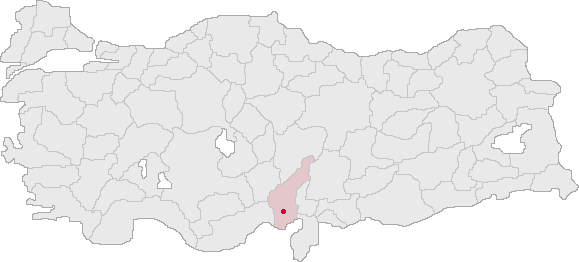
map c
subdivision_name2 =
population_total = 453799|population_footnotes=
population_as_of =| 2006 (est)
population_footnotes =
population_density_km2 =
area_total_km2 = 1538|elevation_m = 23
latd = 37
latm = 48
latNS = N
longd = 35
longm = 57
longEW = E
postal_code_type=Postal code
postal_code = 012xxx
area_code = 0322
blank_info = 01|blank_name=Licence plate
leader_name =
website =Yüreğir is a district of
Adana Province ofTurkey , one of the metropolitan districts of the city ofAdana . Yüreğir lies across the Seyhan River from the centre of Adana, to the south of the Çukurova University campus, in the foothills of theTaurus mountains . To the east is the plain ofMisis ,Yüreğir is mainly inhabited by recent migrants to the city from the countryside around Adana. Of the 450,000 people 320K live in the city and 130K live in 79 outlying villages.
The area contains a number of sites of historical interest; bridges, burial mounds, mosaics, waterworks, mosques, baths, and a stone caravanserai (see
Adana for the rich history of this city).The name comes from the first Turks to settle in the Çukurova. The Yüreğir were a branch of the
Oğuz Turks , from whom most Turkish people today are descended. They came to the area in flight from Mongol invasions of their homelands in central Asia. Adana was subsequently settled and resettled by many other peoples including other Turkish dynasties but they were first and the name was given to the area in their memory much later (in the early 20th century).Prominent buildings/places
*The huge Adana cement factory, on the road from Adana to
Ceyhan .
*Incirlik airforce base, used byNATO and theUS Air Force .
*The attractive campus ofÇukurova University , overlooking the lake
*Aqualand water park

Wikimedia Foundation. 2010.