- Monkland Canal
-
Monkland Canal Weir at Old Palacecraig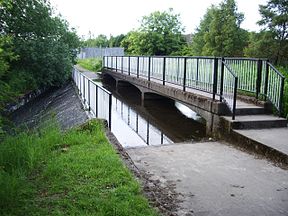
Original owner Consortium of Glasgow merchants, later Andrew Stirling Principal engineer James Watt Date of act 1770 Date of first use 1794 Maximum boat length 71 ft 0 in (21.64 m) Maximum boat beam 14 ft 0 in (4.27 m) Start point Calderbank End point Townhead Basin, Glasgow Branch(es) four short branches Connects to Forth and Clyde Canal Locks 18
(16 locks replaced by incline)Status unnavigable, partly culverted The Monkland Canal was a 12.25-mile (19.6 km) canal which connected the coal mining areas of Monklands to Glasgow in Scotland. It was opened in 1794, and included a steam-powered inclined plane at Blackhill. It was abandoned for navigation in 1942, but its culverted remains still supply water to the Forth and Clyde Canal. Much of it now lies beneath the course of the M8 motorway, but two watered sections remain, and are well-stocked with fish.
Contents
History
The Monkland Canal was conceived in 1769 by tobacco merchants and other entrepreneurs as a way of bringing cheap coal into Glasgow from the coalfields of the Monklands area. The plan was adopted by the City of Glasgow, an Act of Parliament was obtained, and the earliest phases of surveying the route and its construction were supervised by James Watt,[1] with work beginning on 26 June 1770 at Sheepford. Financial difficulties brought the project to a halt after about two years, and it was not until 1789 that construction restarted, under the direction of the Monklands landowner Andrew Stirling.[2] He negotiated with the Forth and Clyde Canal Company, which resulted in a new Act of Parliament to authorise the joining of the two canals near Port Dundas and the extension the canal to Calderbank in the east.[1] The junction with the Forth and Clyde Canal was made in 1791, and the whole canal was completed in 1794. Water supply was from the North Calder Water at Woodhall, ultimately supplied by a new reservoir at Hillend, which was constructed by the Forth and Clyde Canal Company and completed in 1799.[2]
The canal wound its way towards Glasgow, as it followed the contours in order to avoid the need for locks, and the delays that these introduce. Only one lock system was originally intended, at Blackhill, where the canal falls by 96 ft (29.3m), but the extension to Calderbank resulted in two more locks being constructed at Sheepford, to raise the canal by another 23 ft(7m).[2] The depth of the canal was 4 ft (1.2m). The canal was a broad canal, suitable for boats which were 71 ft by 14 ft (21.6 x 4.3m).[1]
Traffic
The opening of the canal heralded an increase in coal mining in the area. Initial activity was on the Faskine and Palacecraig estates, which were on the eastern extension. Traffic was further augmented by the construction of ironworks at Coatbridge around 1825. By the 1850s and 1860s, the canal was transporting over one million tonnes of coal and iron per year. A passenger service was operated from Sheepford to Townend, Glasgow, although passengers were required to disembark at the top of the Blackhill locks and walk to the bottom, where another boat completed the journey. Inevitably, the canal suffered from competition from the railways, and by the 1920s trade was down to 30,000 tonnes per year.[2]
In order to better serve the ironworks, four branches were constructed at the upper end of the canal. The branches to Calder Ironworks and Gartsherrie Ironworks were both about a mile (1.6 km) long, while those to Langloan Ironworks and Dundyvan Ironworks were about 0.25 miles (0.4 km) long.[1]
Engineering
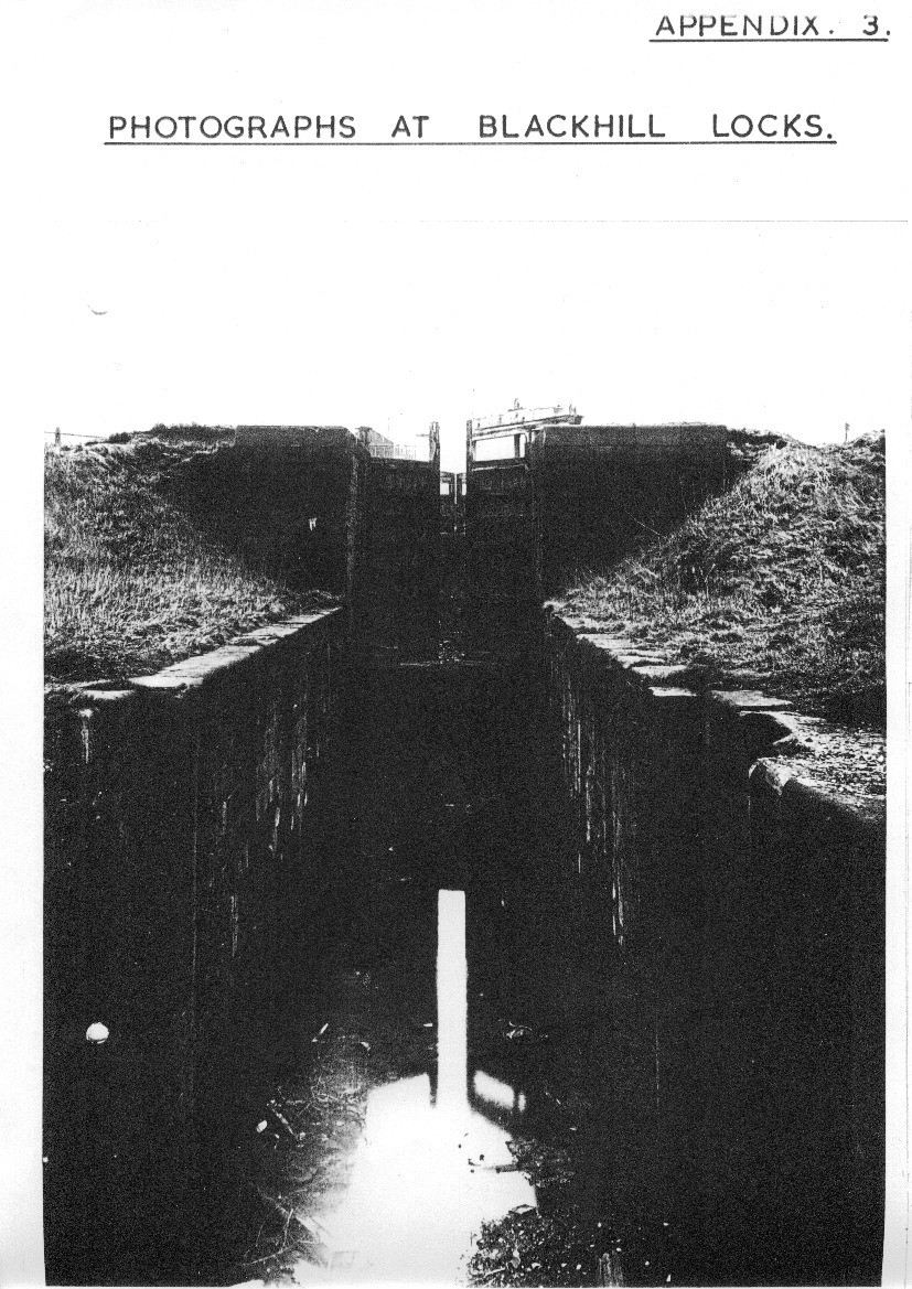
The Blackhill incline resulted in a number of engineering solutions to speed the transit of coal and iron to Glasgow. Initially, the two sections of the canal were separate, and there was an inclined plane, down which coal was transported in boxes, to be reloaded into boats at the bottom. This was replaced by locks by the time Messrs William Stirling & Sons of Glasgow had completed the construction of the canal. The coming of the railways resulted in plans to improve the canal, and a second set of locks was constructed. Groome describes them as "two entire sets of four double locks each, either set being worked independently of the other", which were "of such character as to excel all works of their class in Great Britain". Additional water supplies were needed, and new reservoirs were built at Shotts, feeding the canal at Woodhall.[1]
Traffic continued to increase, and by 1850 water supply was again insufficient for the volume of traffic using the Blackhill flight. To overcome this, an inclined plane was designed and built by Messrs Leslie & Bateman. It was 1040 ft (317m) long, with a rise of 96 ft (29.3m), and carried the boats in caissons, with power being supplied by a steam engine. Its operation was a success, with water volumes being reduced by 83% and transit times reduced by 90%.[1]
Ownership
In 1846, an Act of Parliament authorised the amalgamation of the canal with the Forth and Clyde Canal, with the Forth and Clyde company paying £3,400 per share. In 1867, both concerns were taken over by the Caledonian Railway Company,[1] which in turn became part of the London, Midland and Scottish Railway (LMS).
Abandonment
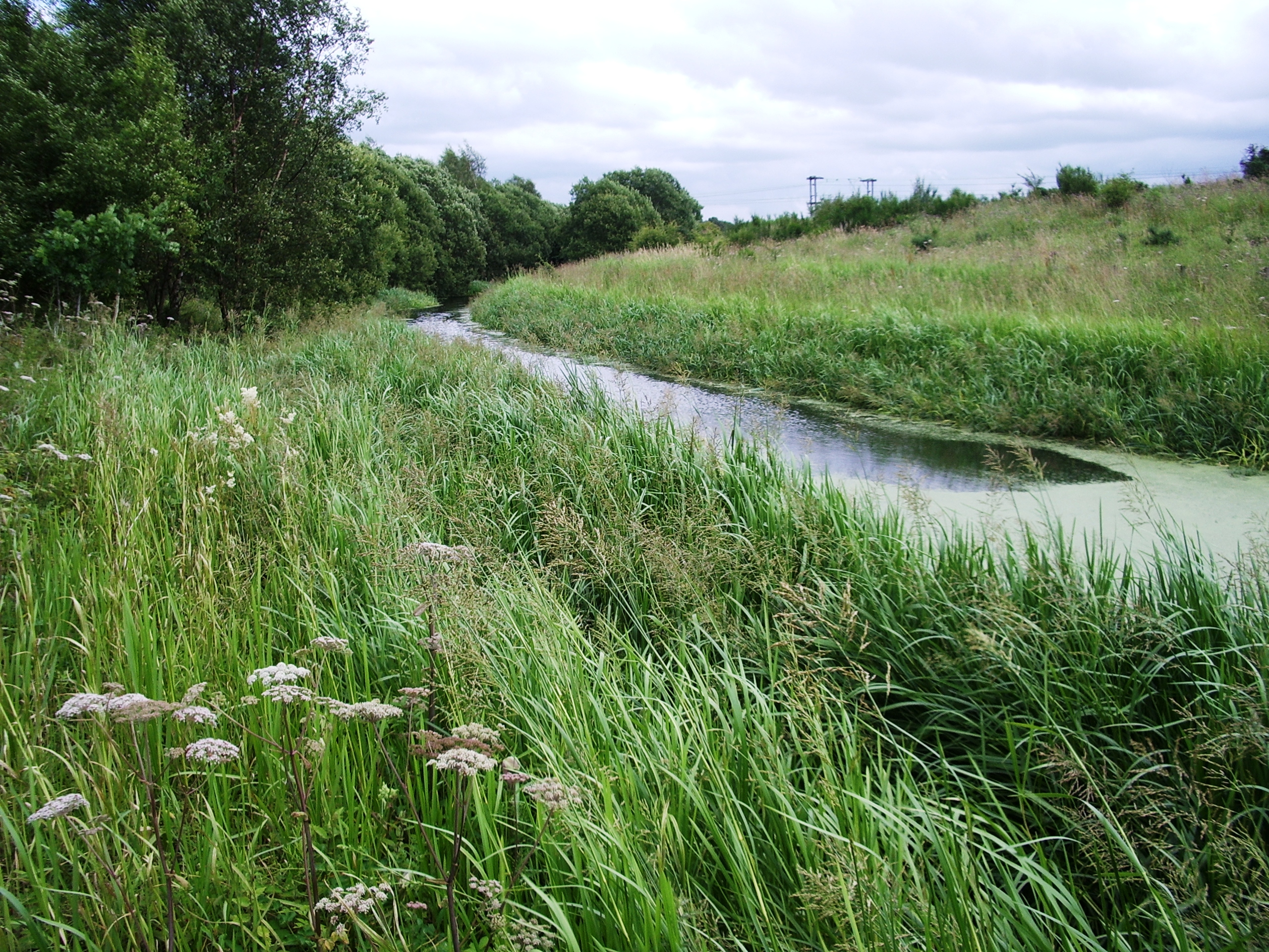
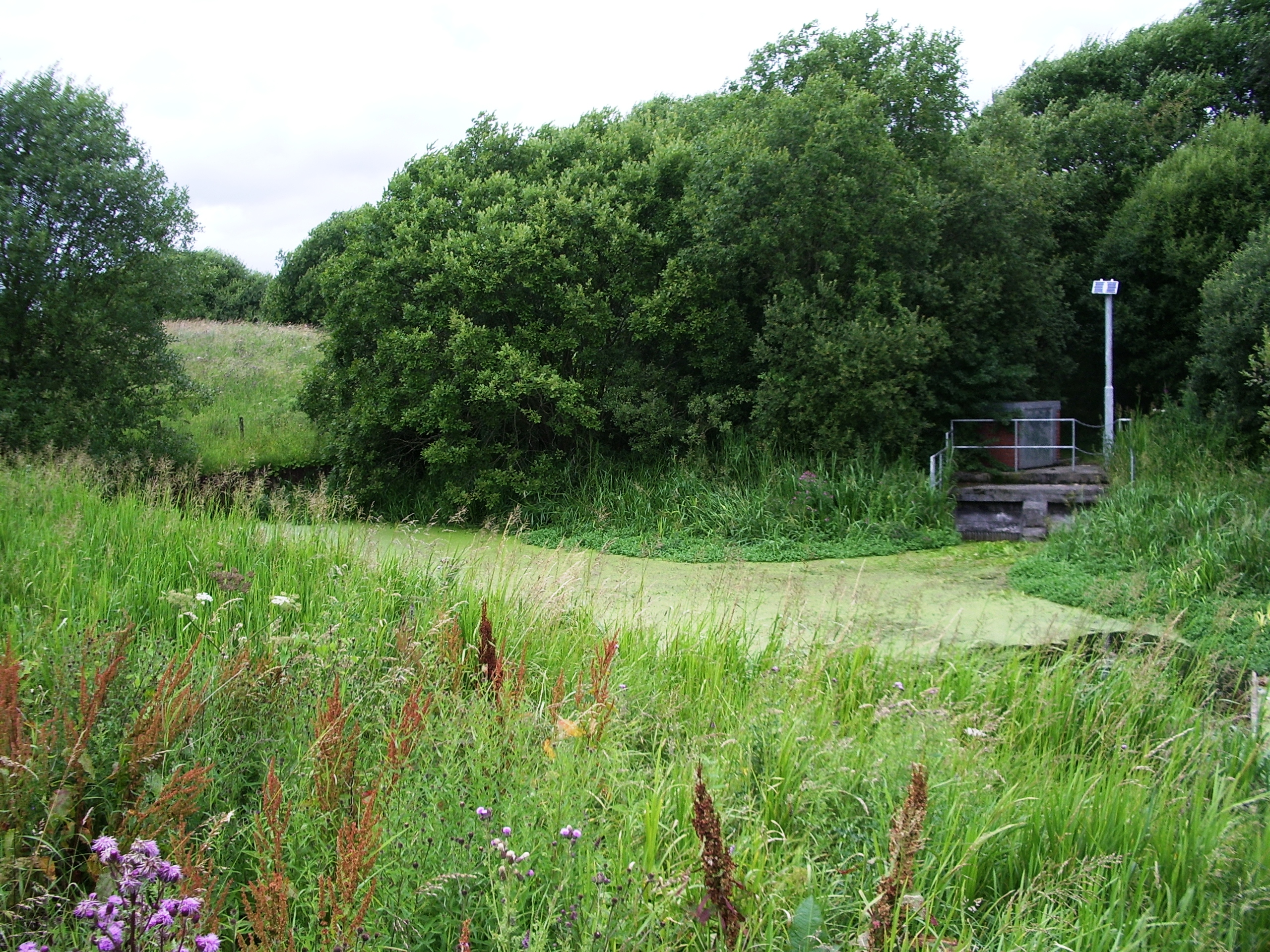
In August 1942, the London, Midland and Scottish Railway applied to the Ministry of War Transport for an order authorising the abandonment the canal. Navigation rights were removed by an Act of Parliament passed in 1952.[2] It remained the primary water source for the Forth and Clyde canal, and so some sections are still in water today, notably the eastern section between Woodhall and eastern Coatbridge, and to the west of that town and Cuilhill. The rest of the waterway to Port Dundas was converted into a culvert to maintain the water flow, and much of it now lies beneath the M8 motorway which was constructed along its path in the early 1970s, but remains under the jurisdiction of British Waterways because of its function as a feeder to the Forth and Clyde Canal.
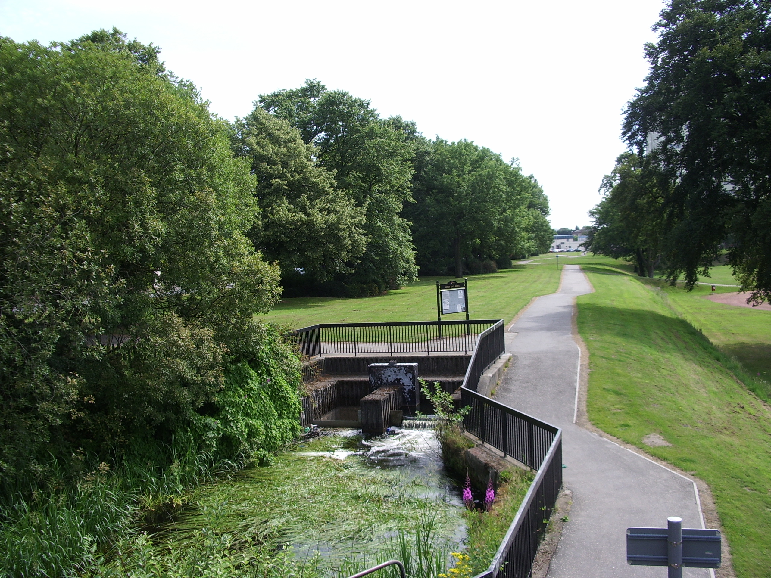
The Scottish Development Agency was formed in 1975, and the canal was the subject of the Monkland Canal Land Renewal Project. The line of the non-motorway section was protected by the District Council from 1978, and there has been some progress with creating a linear park and walkway along its route.[2] The route forms an important part of the Summerlee Heritage Park and Drumpellier Country Park.[3]
Route
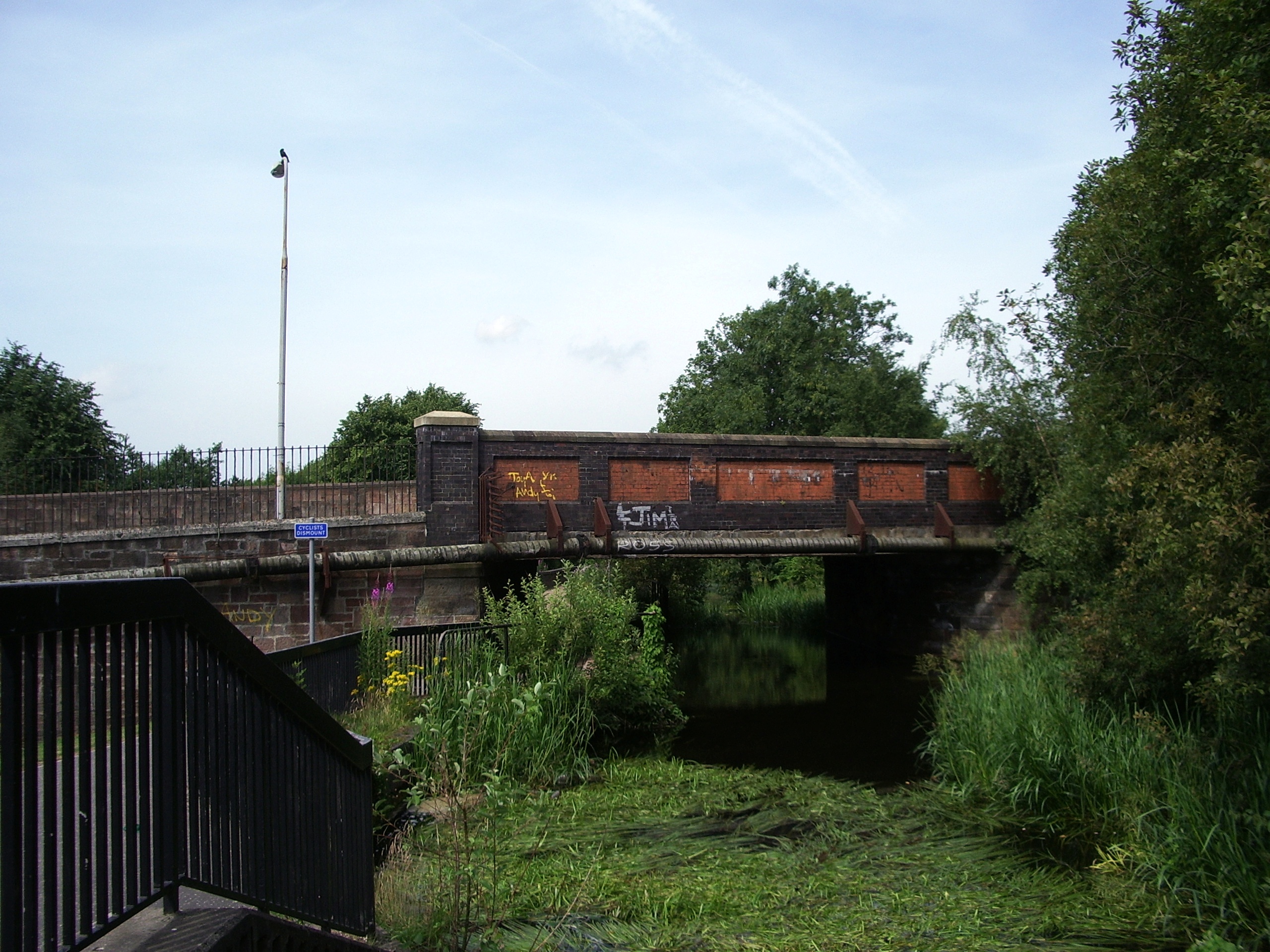
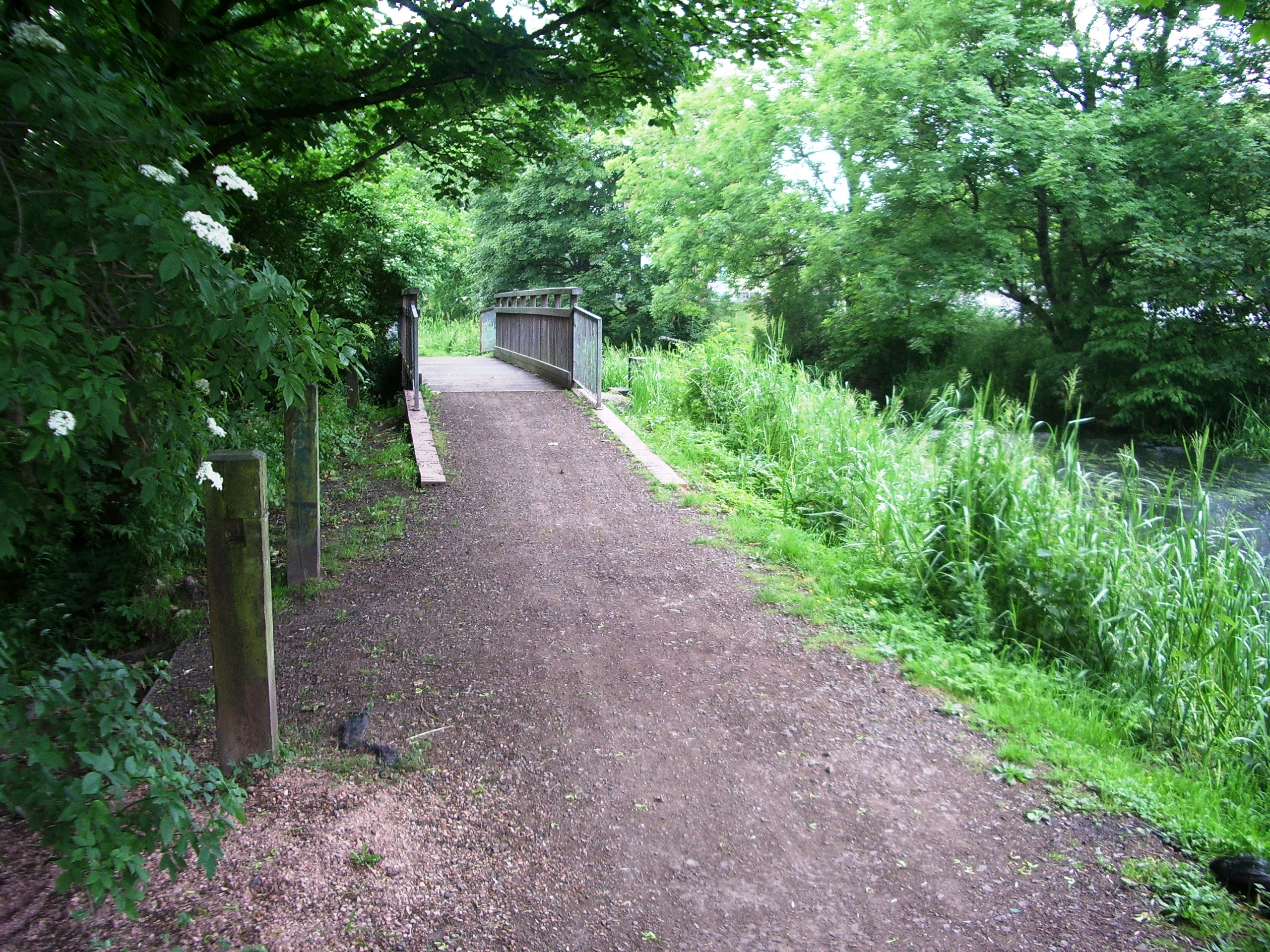
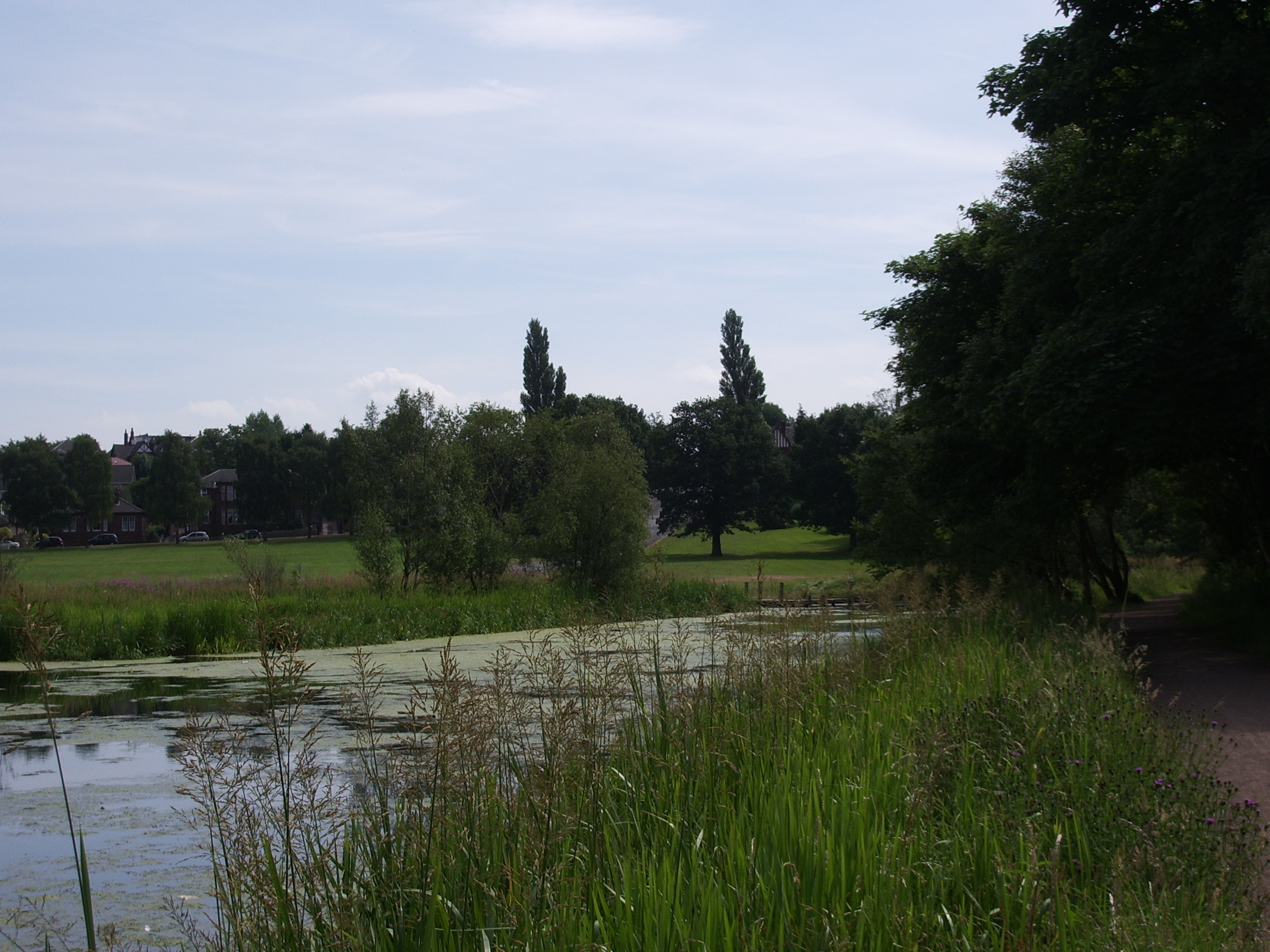
The canal started at Calderbank, where there was a feeder from the North Calder Water, and passed through Faskine and Palacecraig. The first culverted section starts at Sykeside Road, Cairnhill. The original starting point of Sheepford is now in Coatdyke, when the railway viaduct which crossed it still exists but is unused. The two Sheepford locks were immediately after the viaduct. Passing under Locks Street, it then ran parallel to Main Street crossing under the A725 and then parallel to Kings Street, Coatbridge, before crossing under Blair Road, where the canal is again in water, as it skirts around the northern edge of Drumpellier. The watered section ends just after it passes under the railway line from Easterhouse to Blairhill. Soon the embankment of the M73 crosses its route, it passes through Netherhouse, where there is a bridge over its path, and then the M8 motorway joins its course at Easterhouse. Passing through Queenslie, Ruchazie, Riddrie, Blackhill and Blochairn it arrived at the Townhead basin.
Point Coordinates
(Links to map resources)OS Grid Ref Notes Calderbank Basin 55°50′28″N 3°58′23″W / 55.841°N 3.973°W NS765626 Eastern terminus Start of first culvert 55°51′04″N 3°59′42″W / 55.851°N 3.995°W NS752638 Sheepford basin 55°51′29″N 4°00′11″W / 55.858°N 4.003°W NS747645 Blair Road bridge 55°51′40″N 4°02′42″W / 55.861°N 4.045°W NS721649 Start of second culvert 55°51′40″N 4°04′26″W / 55.861°N 4.074°W NS702650 Junction with M8 motorway 55°51′36″N 4°06′07″W / 55.860°N 4.102°W NS685650 Ruchazie 55°52′08″N 4°09′25″W / 55.869°N 4.157°W NS651661 Riddrie 55°52′26″N 4°11′02″W / 55.874°N 4.184°W NS634666 Blackhill 55°52′16″N 4°12′00″W / 55.871°N 4.200°W NS624663 Locks and inclined plane Townhead Basin 55°52′19″N 4°14′56″W / 55.872°N 4.249°W NS593666 Fishing
In the mid 1980s, the canal was stocked with Carp, Roach, Bream, Tench, Perch and some other species. British Waterways and North Lanarkshire council maintain the waterway but a permit charge is not currently taken.
Gallery
-

North Calder Water dam and source
-

Start of the canal
-

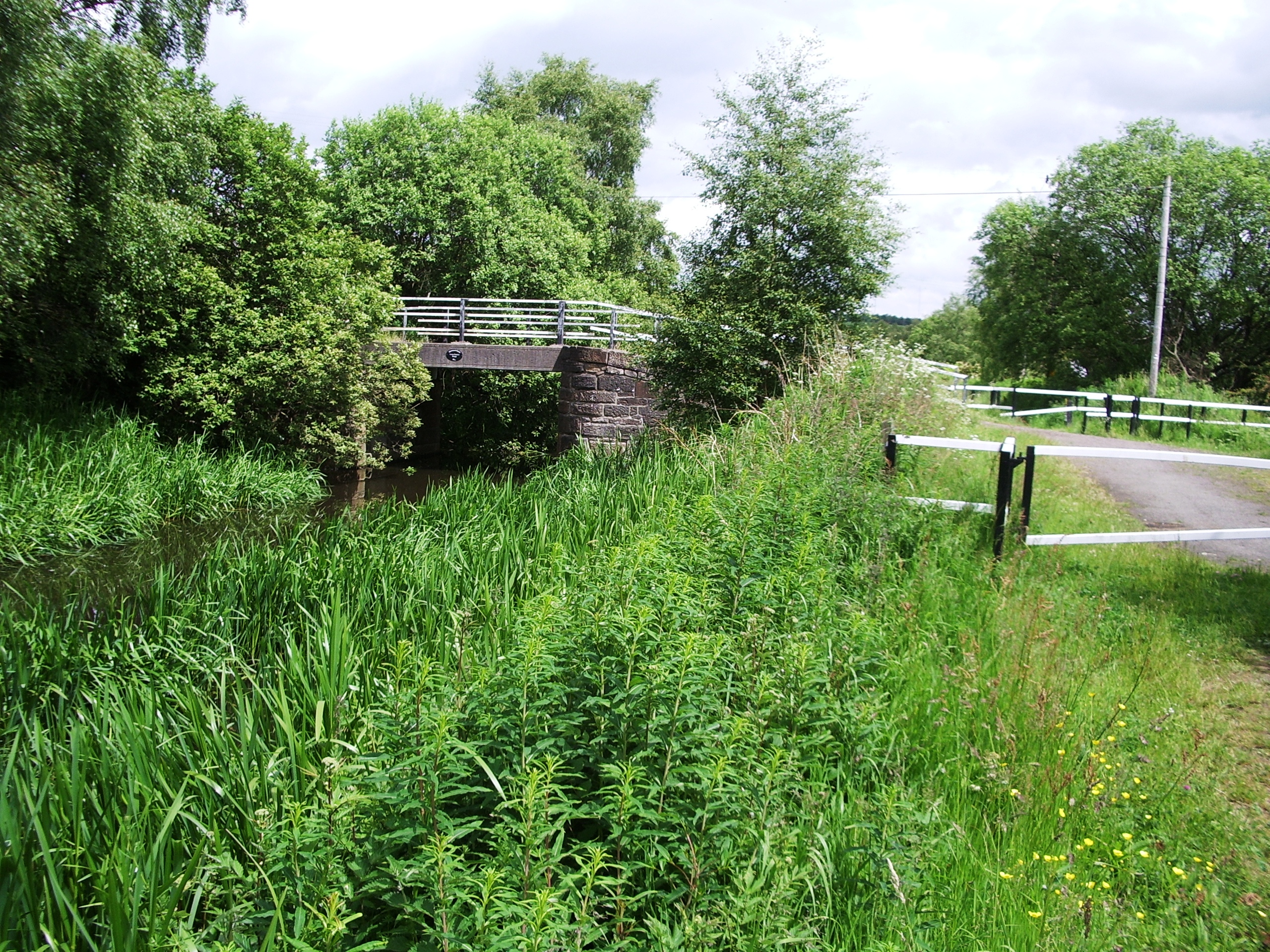
Upper Faskine bridge
-

Faskine basin
-

Lower Faskine bridge
-

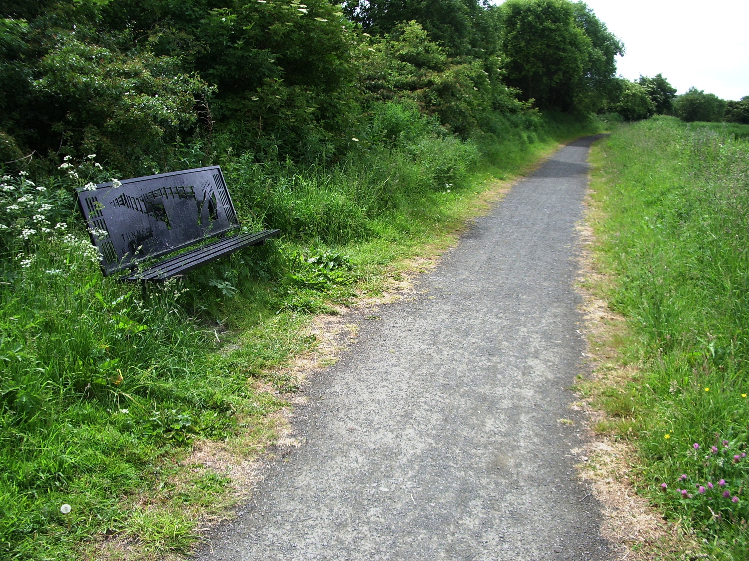
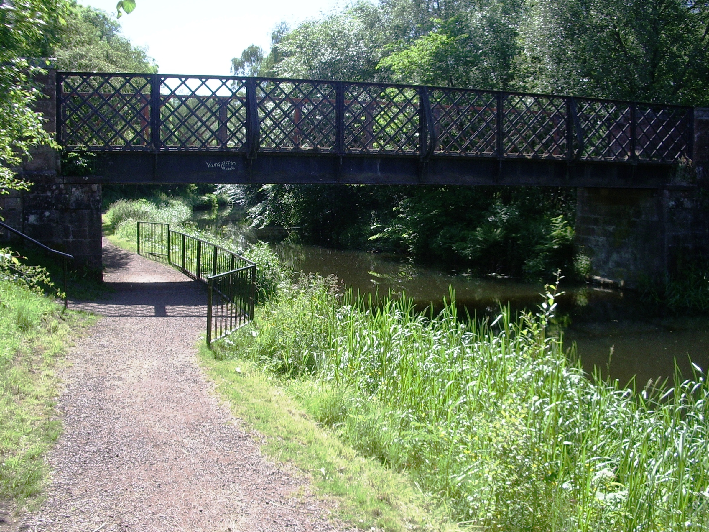
Seat on towpath Tunnels & Bridges
-

Seat on towpath Vulcan
-

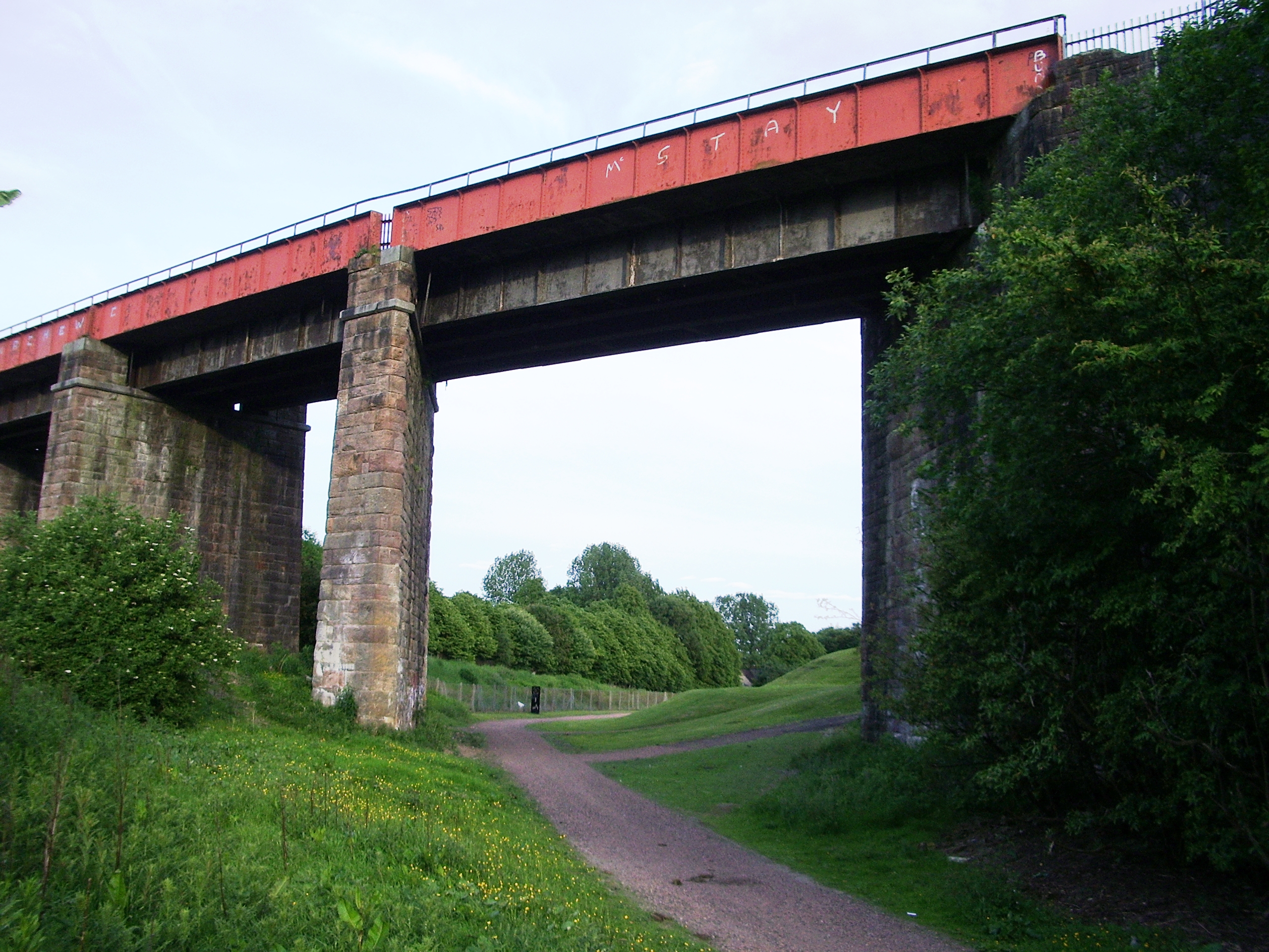
Caledonian Viaduct
-

Road bridge over Sheepford Locks
-

Sheepford Locks artwork
-

Wildlife artwork
-

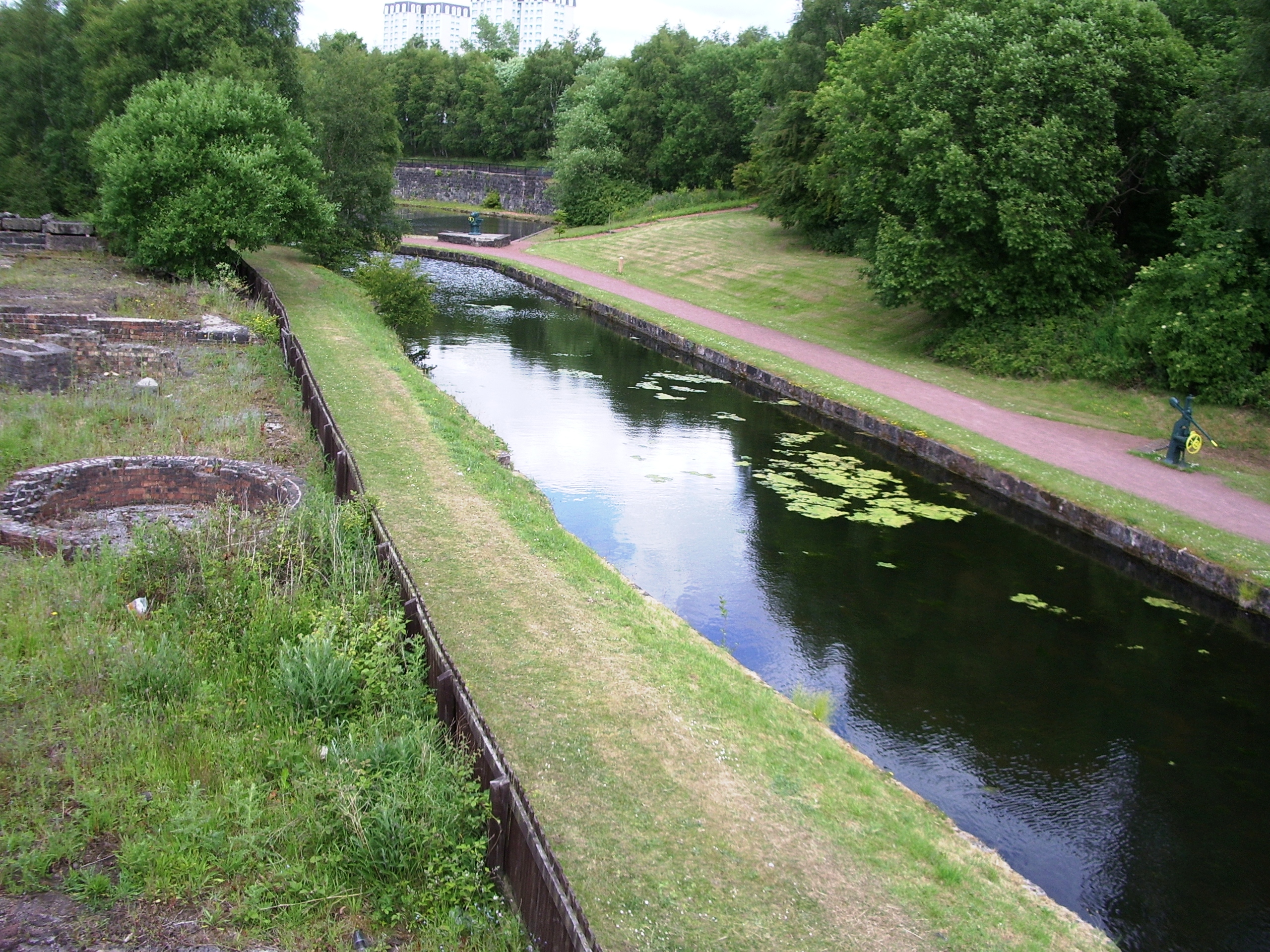
Canal branch in Summerlee Heritage Park
-

Blair Road bridge
-

King Street from Blair Road bridge
-

Tow path in Drumpellier Park
-

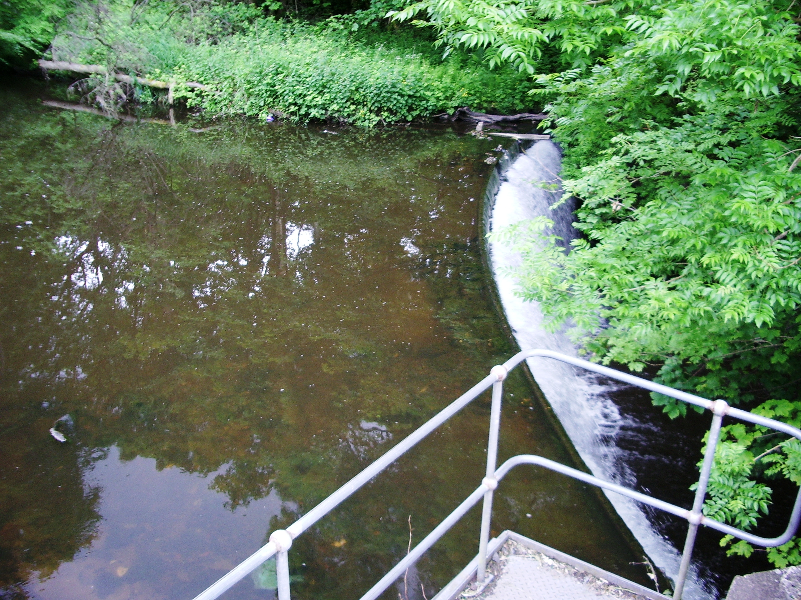
Burginsholme Burn weir
-

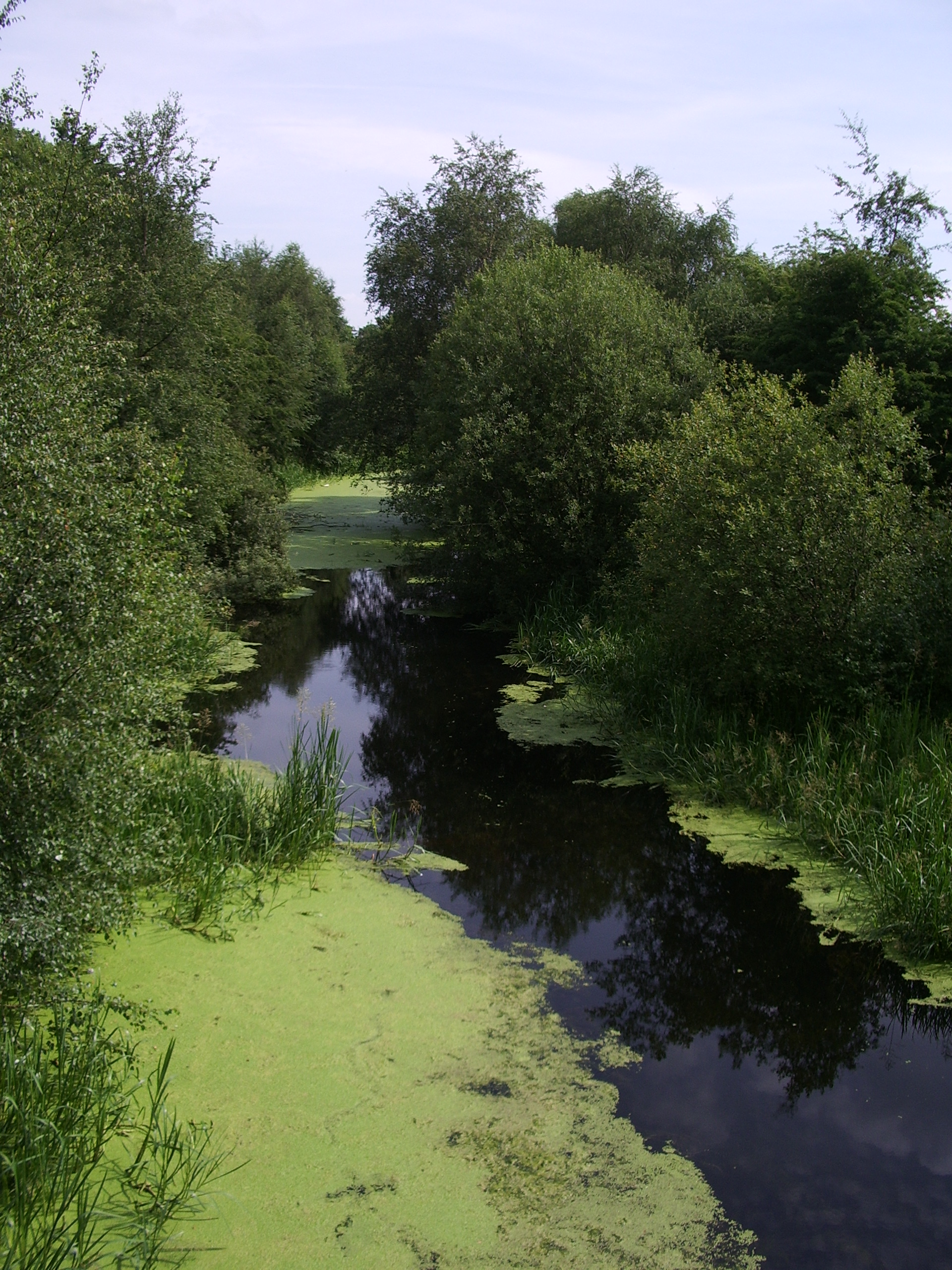
Eastern view in Drumpellier Park
-

Eastern view in Drumpellier Park
-

West to Drumpellier Home Farm bridge
-

East to Drumpellier Home Farm bridge
-

East from Drumpellier Home Farm bridge
-

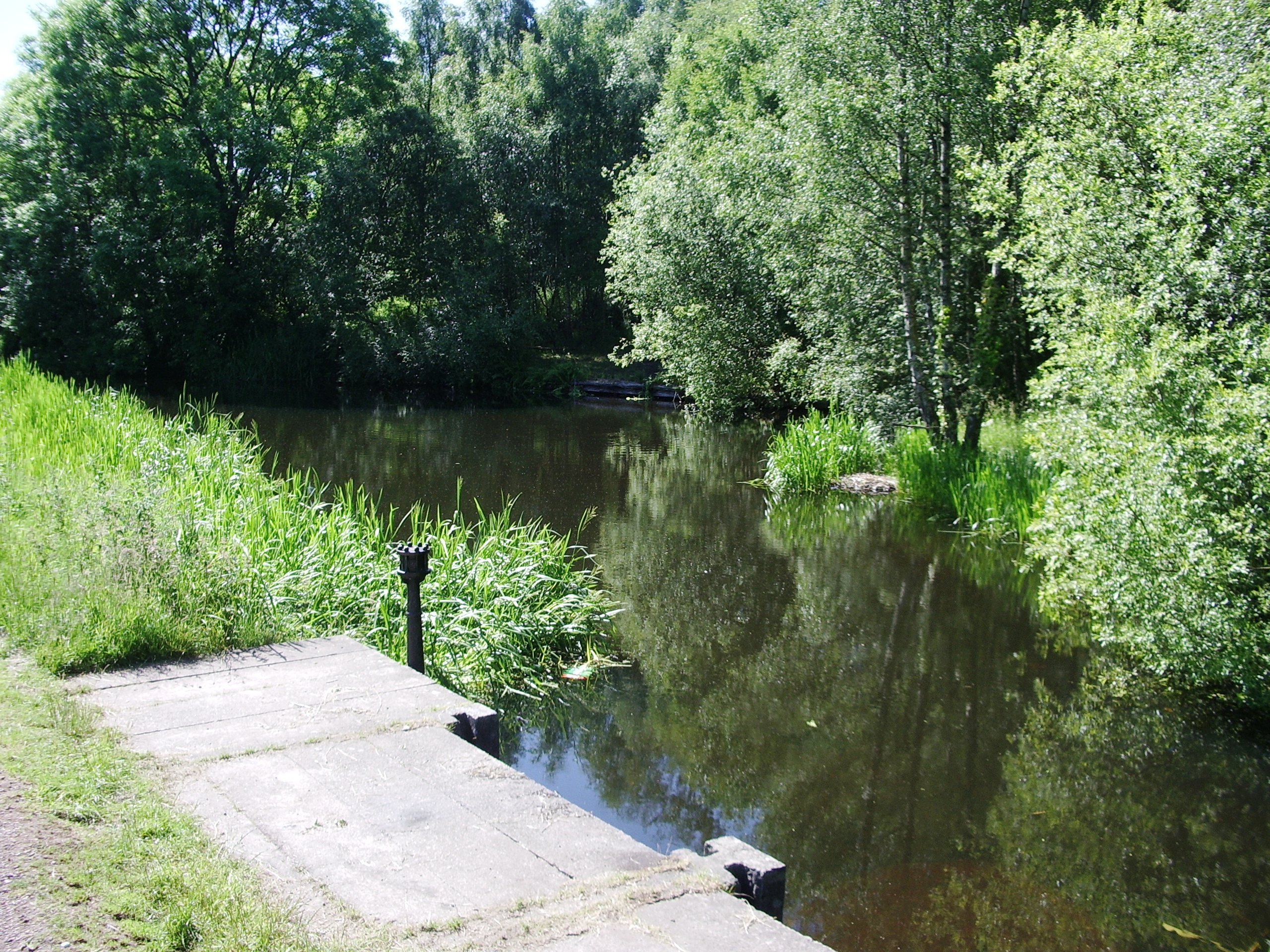
Abandoned Drumpeller Colliery basin
-

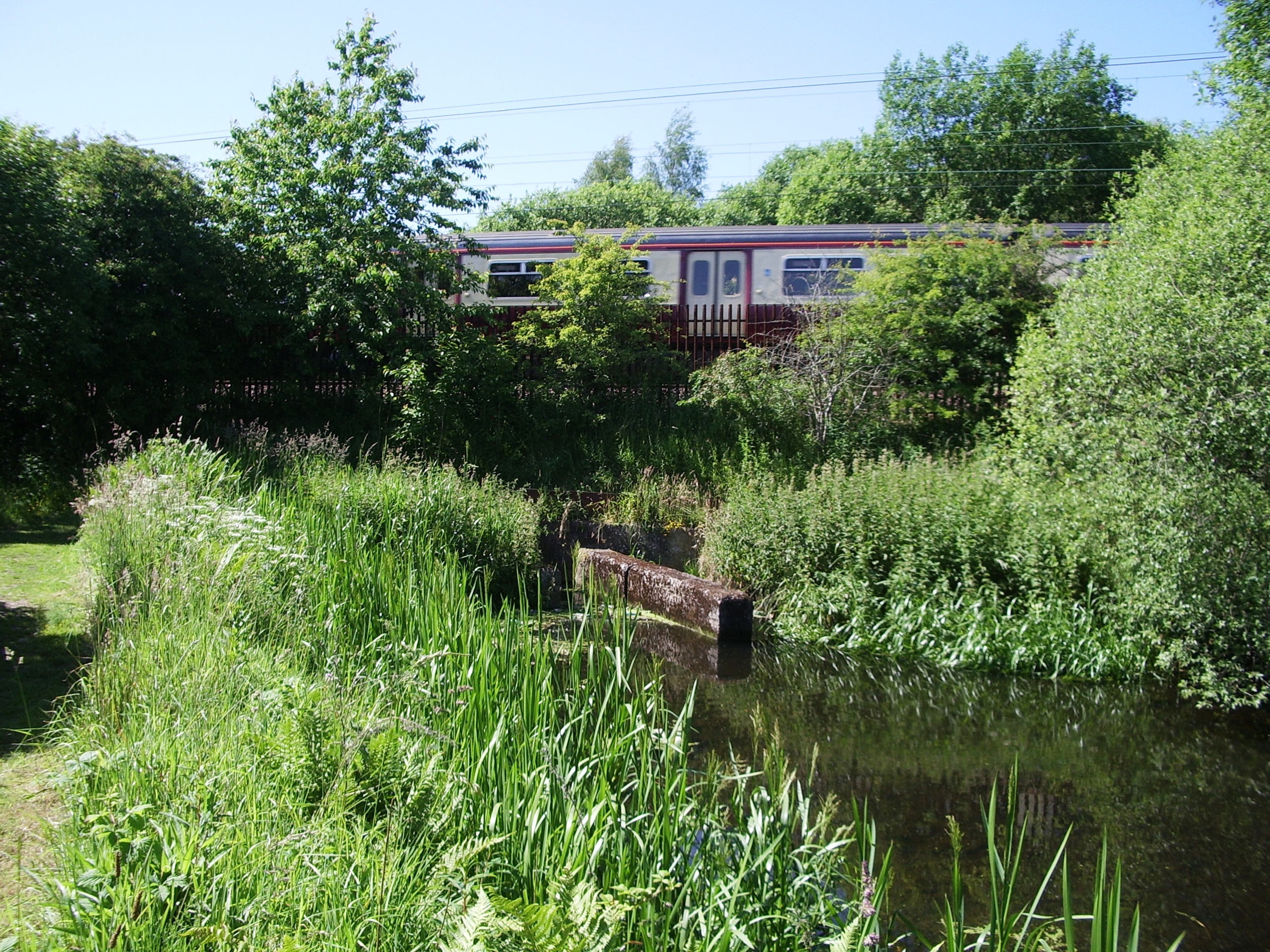
Culverted under the North Clyde Line railway
-

West of the North Clyde Line railway
-

Culvert at Cuilhill
-

Scan of photograph of Blackhill Locks
-

Scan of photograph of Blackhill Locks lower basin
References
- ^ a b c d e f g Francis H. Groome (editor) Ordnance Gazetteer of Scotland: A Survey of Scottish Topography, Statistical, Biographical and Historical, published in parts by Thomas C. Jack, Edinburgh (1882 to 1885)
- ^ a b c d e f Monklands Online - The Monkland Canal
- ^ North Lanarkshire Council: Walking and Cycling routes
Bibliography
- Dr. George Thomson, The Monkland Canal - A sketch of the Early History 1945, Monklands Library Services.
- Jean Lindsey, The Canals of Scotland. Newton Abbott: David & Charles.
See also
History of Coatbridge · Monkland Canal · Coatbridge Irish · Albion Rovers F.C. · Summerlee Heritage Park · Neighbourhoods of Coatbridge
- Canals of Great Britain
- History of the British canal system
Categories:- Canals in Scotland
- North Lanarkshire
- Coatbridge
- Visitor attractions in North Lanarkshire
-


Wikimedia Foundation. 2010.