- Niuatoputapu
-
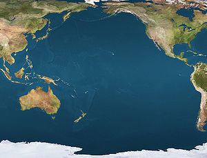
 NiuatoputapuLocation of Niuatoputapu in the Pacific Ocean
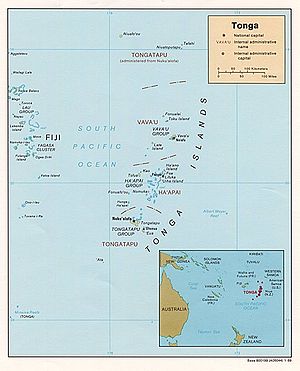 Located in Tongatupu to the very north of Tonga
For the 2009 tsunami, see the main article: 2009 Samoa tsunami.
Niuatoputapu is an island in the island nation of Tonga, Pacific Ocean. Its name means sacred island. Older European names for the island are Traitors island or Keppel island.
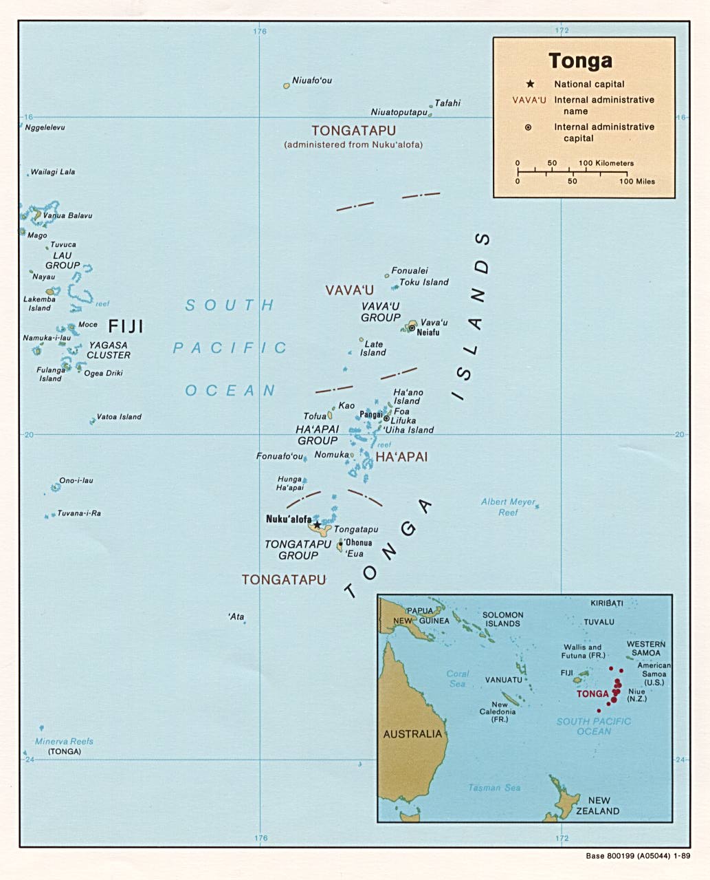
Niuatoputapu is located in the north of the country, 300 km away from Vavaʻu near the border with Sāmoa. Its closest neighbours are the small island of Tafahi, only 9 kilometers to the north-northeast, and the island of Niuafo'ou. The three islands together form the administrative division of the Niuas. There is an airport in Niuatoputapu, Mataʻaho airport, which is designated to accept international flights. The population of Niuatoputapu was 934 in 2006. The inhabitants formerly spoke the Niuatoputapu language, but it has now been extinct for centuries. Now the inhabitants speak Tongan. Nevertheless Sāmoan, ʻUvean and Futunan elements can be noticed.
Contents
Geography
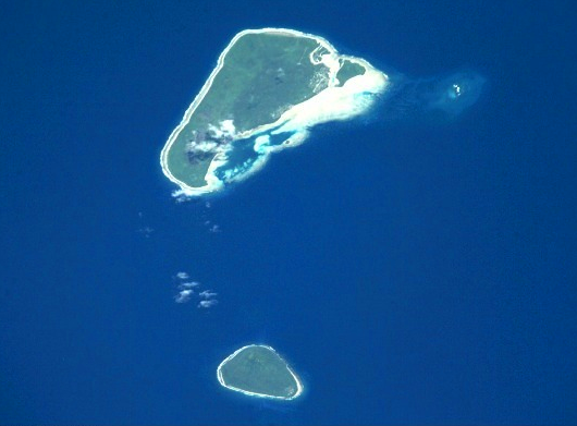
The central top of Niuatoputapu, just beside Vaipoa, is a hill of only 157 meters in height. It is the eroded remnant of a large volcano, which erupted about 3 million years ago. The island is surrounded by a large reef, uplifted and largely covered with volcanic ash, which has yielded it a fertile soil.
Niuatoputapu consists primarily of three villages: Hihifo (meaning "west" in Tongan), Vaipoa, and Falehau. Hihifo is the largest village, and, as its name suggests, lies in the west of the island. It contains the majority of the governmental facilities of the island, including the post office, telecommunications, police station and a high school (there are primary schools in all 3 villages). Vaipoa lies in the middle of the island. To the east is Falehau, which contains Niuatoputapu's port.
History
The traditional line of lords of the island is the Willem Schouten and Jacob Le Maire during their famous circumnavigation of the globe in their ship the Eendracht (Unity) in 1616. After successful bartering with the inhabitants of Tafahi, but not finding a suitable anchorage there, they proceeded to its neighbour. There their reception was less peaceful. Natives boarded their ship and attacked the Dutch with clubs, until they found out what muskets were and could do. After that an uneasy truce existed, enabling the barter of more coconuts, ubes roots (probably ʻufi (yam)), hogs and water. A 'king' of the island came along, but not on board. "He was equally naked with all the rest", only distinguishable by the respect the islanders paid to him. The next day the Dutch felt that something was in the air, and indeed when the king came again along he suddenly ordered his people into an attack. There were about 700 to 800 of them in 23 double canoes and 45 single canoes. But the Dutch fired their muskets and 3 canons, and the islanders then quickly made themselves scarce. Schouten and LeMaire continued their westwards trip, leaving Verraders (Traitors) island behind.
Popular culture
The 2001 film The Other Side of Heaven, depicts the LDS missionary efforts of John Groberg on Niuatoputapu. The film was, however, filmed on Rarotonga in the Cook Islands and in Auckland, New Zealand as well.[1]
2009 Tsunami
The island of Niuatoputapu was affected by a tsunami following a 2009 Samoa earthquake of an 8.0 Mw earthquake in the Samoan Islands region at 06:48:11 local time on 29 September 2009 (17:48:11 UTC).[2]
See also
- 2009 Samoa Tsunami main article
References
- Robert Kerr (1824): Voyage round the world, in 1615-1617, by William Cornelison Schouten and Jacques le Maire, going round Cape Horn.
- E.W. Gifford; Tongan myths and tales, BPB Bulletin 8; 1924
Coordinates: 15°57′S 173°45′W / 15.95°S 173.75°W
- ^ [1]
- ^ Magnitude 8.0 - SAMOA ISLANDS REGION Report on U.S. Geological Service's website. Retrieved online d.d. 29 September 2009.
Categories:- Islands of Tonga
- History of Tonga
- Tongan mythology
- Tsunami

Wikimedia Foundation. 2010.