- Primary schools in Banbury
-
Dashwood School
Dashwood Primary School is a long-established school formerly situated on Dashwood Road, Banbury. In September 2008 it moved to new premises in Merton Street in the Grimsbury district of Banbury. But this was accompanied by a disastrous Ofsted report which put the school into "special measures". The solution was a Federation with Banbury School (a secondary school) and Vicki McLean was seconded from Banbury School to run Dashwood School with Louise McGinty. Between them they got Dashwood School out of "special measures" within nine months and Ms McLean was confirmed as headteacher to carry the school forward. By the end of 2010 pupil numbers were rising with 190 boys and girls from 14 different nationalities. The school is achieving its targets with above-average numbers of pupils reaching Level 5 in English and Maths. After consultation with parents and pupils, the school introduced a uniform with green blazers and green and gold ties. In September 2011 Ofsted inspectors concluded the school was now good with many outstanding features, including "exemplary" pupil behaviour.
Grange School
The Grange school is a large, non-denominational primary school located on Avocet Way, in the Cherwell Heights ward. It neighbours St John's Roman Catholic Primary School, with which it shares a main field, but also has its own land at the back of the campus. It has 297 pupils in the 4 - 11 age range. The Headmistress is Mrs Michelle Dibben.
According to a 2004 Ofsted inspection of the school, entry level is well above the national average, as are the attainment levels in year 6 pupils.
The school has won a number of awards:
- 2002- Achievement Award
- 2003- Gold Active Mark
- 2003- Healthy schools status
Hanwell Fields Community School
Hanwell Fields Community School is situated on Rotary Way in the Hanwell Fields estate. It was built because the estate is not yet fully complete, it over 200 pupils.
Hardwick School
Hardwick school is a primary school which is situated on Ferriston, was opened in 1977 and serves the growing community of Hardwick. It has 247 pupils in the 4 - 11 age range.[1] It has a large sloped playing field which lies adjacent to Ironstones park.
Harriers Ground Primary School
Harriers is a primary school situated in the Easington ward. It is situated on Bloxham Road. It has 252 pupils in the 4 - 11 age range. It has a swimming pool that is rarely put to use, it also has a playground that is used at break and lunchtimes for the children to play on, the playground is also used for school netball matches. Next to the playground is a large field that is used by children at lunchtime, the field hosts football games and tournaments. In the summer a fête is hosted on the schools playground.
Hill View School
Hill View is a primary school situated on Hill View Crescent in the Ruscote ward. It has 489 pupils in the 4 - 11 age range.
In 1999 the school appeared on ITV's Diggit Christmas show. The show featured the school's Christmas production, which was called 'Jack the Musical'.
The Headmaster of the school since September 2000 is David Molloy.in witch soon to retire at the end of the year[2]
Orchard Fields Community School
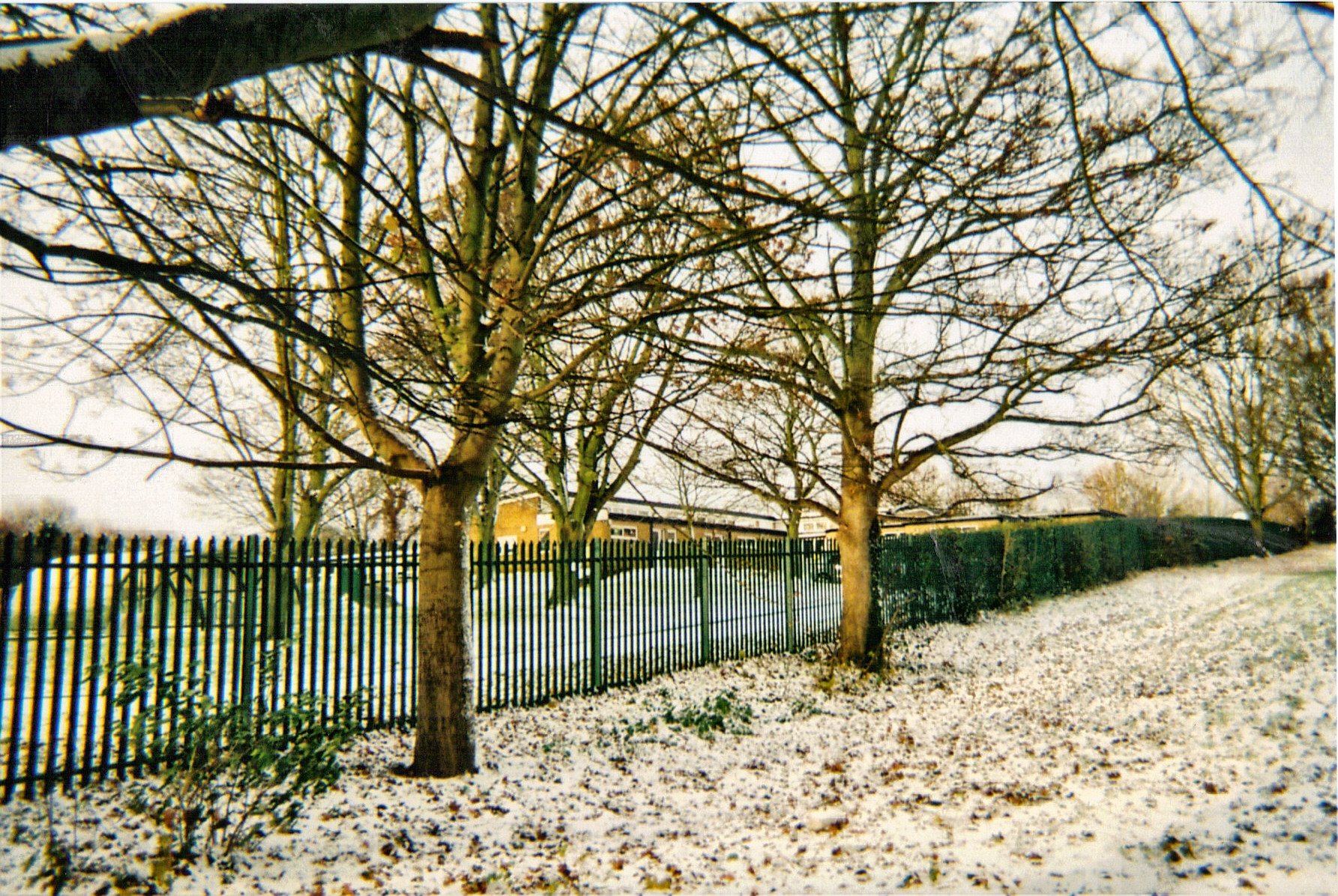
 Orchard Fields Community School and the relevant parts of Princess Diana park before it was built
Orchard Fields Community School is a large primary school situated in Edmunds Road. The school was formerly two separate schools, Neithrop County Infants and Neithrop County Juniors. The latter was closed down in 2002 after it was judged by Ofsted to be failing.[3]
Orchard Fields has 331 pupils in the 3–11 age range. The school also has a day care center, where children up to the age of 11 can go. The Headmistress used to be Maggie Twydell.
In September 2007 the school moved to a newly built site on Princess Diana park.[4]
In 2003, the disused buildings of the former junior school were badly damaged in an arson attack.[5]
St John's Priory School
St John's Priory School is a relatively small independent primary school, situated on St John's Road, in the Calthorpe ward.
St John's Roman Catholic Primary School
St John's Roman Catholic Primary School is a primary school on Avocet Way in the Cherwell Heights ward. It is a primary school with 280 pupils from the ages of 3-11. It shares a big field with the Grange School, but also has land of its own all around the site.[6]
St. Joseph's Roman Catholic Primary School
 St. Joseph's Roman Catholic Primary School.
 St Joseph's RC school, Banbury in 2010.
St. Joseph's Roman Catholic Primary School is a Catholic primary school situated on Fiennes Road in the Neithrop ward. It has 164 pupils in the 3-11 age range.[7]
St Leonard's Church of England Primary School
St Leonard's Church of England Primary School [1] is on Overthorpe Road (access from Causeway) in the historic hamlet of Grimsbury. It is one of the town's larger primary schools with 419 pupils[8] in the age range of 3 - 11. The current premises were opened in 1995, since when there have been substantial extensions as the population of the school has grown.
St Mary's CE (C.) Primary School
St Mary's CE (C.) Primary School is an average sized primary school. It is located close to the town centre and therefore has a smaller than average catchment area, although it has 233 pupils in the 3 - 11 age range. The main school building is Victorian although much altered by addition of a hall and additional classroms in the early twentieth century. The school had a new building for the key stage 1 children which was open in late 2003 to replace a 50 year old block. The former Maytree nursery is now the school's foundation stage unit. It also has a large field and a small nature reserve with a wild life pond. The school is situated on the Southam Road with vehicle access via Bluecoat Close.
The school was formerly the Bluecoat school and was founded in 1705 for boys and girls, above the old jail in the market place. The original building now houses Buckell and Ballard's Estate Agency. In 1817 the school was incorporated with the newly-established national schools for boys and girls. In 1835, the national school at Banbury educated about 120 boys and 75 girls, besides occasional scholars on Sundays.[9][10] The Bluecoat Charity still exists, the trustees meeting regularly at the school to make grants for school uniforms and other educational purposes.
The Headmaster is Mr Stephen Wass. For many years Mr Wass has been "The Fine Lady" in the Banbury Hobby Horse Festival.[11] Some pupils have developed a strong interest in traditional dance and drama through attending folk dance club and in 2008 the school won the West Midlands Folk Federation Outstanding Achievement/Contribution Award for promoting folk music and dance.[12]
The work of the staff and pupils in developing a creative curriculum has been recognised by its inclusion as a case study in the 2008 publication by the Department for Children, Schools and Families titled "Shakespeare for all ages and stages".[13]
William Morris School
William Morris School is a primary school on Bretch Hill Road in the Bretch Hill ward. It has 198 pupils in the 3 - 11 age range. The Headmistress is Mrs Sally Newman.[14]
See also
- History of Banbury, Oxfordshire
References
- ^ Ofsted report
- ^ http://www.hillview-school.com/
- ^ http://news.bbc.co.uk/1/shared/bsp/hi/education/07/school_tables/primary_schools/html/931_2055.stm
- ^ http://www.eteach.com/JobSeekers/RecruiterProfile.aspx?EmpNo=23788
- ^ Arson attack damages school, BBC News, 8 October 2003.
- ^ http://www.stjohnsBanbury.com
- ^ http://www.st-josephs-banbury.oxon.sch.uk/
- ^ Ofsted Reports, from March 2010.
- ^ http://www.oldtowns.co.uk/Oxfordshire/banbury.htm
- ^ http://www.st-marys-banbury.oxon.sch.uk
- ^ http://www.kickback.btinternet.co.uk/Town.Horse/Town.Horse.html
- ^ http://www.wmff.org.uk/News/WMFF_Newsletter_08-3.pdf
- ^ http://www.standards.dcsf.gov.uk/primary/publications/literacy/en_shakespeare_allage0047008/
- ^ http://www.william-morris.oxon.sch.uk/
Banbury Schools and Colleges Colleges Secondary Primary Primary schools in BanburyTown Villages Adderbury · Aynho · Bloxham · Bodicote · Broughton · Chacombe · Cropredy · Deddington · Great Bourton · Hanwell · Horley · Kineton · King's Sutton · Little Bourton · Middleton Cheney · North Newington · Shotteswell · Wardington · Warmington · WroxtonSchools Primary schools in Banbury · Kineton High School · North Oxfordshire Academy · Drayton School · Chenderit School · Banbury School · The Warriner SchoolCategories:- Schools in Banbury


Wikimedia Foundation. 2010.