- Lake Country, British Columbia
Infobox Settlement
official_name = District of Lake Country
other_name =
native_name =
nickname =
settlement_type = District
motto =
imagesize =
image_caption =
flag_size =
image_
seal_size =
image_shield =
shield_size =
city_logo =
citylogo_size =
mapsize =
map_caption =
mapsize1 =
map_caption1 =
image_dot_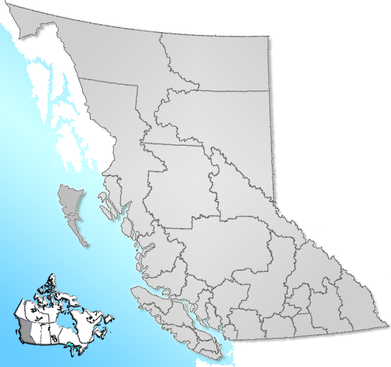
dot_mapsize = 220px
dot_map_caption = Location of Lake Country inBritish Columbia
dot_x = 161 |dot_y = 166
pushpin_
pushpin_label_position =
pushpin_map_caption =
pushpin_mapsize =
subdivision_type = Country
subdivision_name = CAN
subdivision_type1 = Province
subdivision_name1 = BC
subdivision_type2 = Region
subdivision_name2 =Okanagan
subdivision_type3 = Regional district
subdivision_name3 = Central Okanagan
subdivision_type4 =
subdivision_name4 =
government_footnotes = [ [http://www.lakecountry.bc.ca/Municipal%20Hall/Mayor%20and%20Council/ Lake Country Council] ]
government_type =
leader_title = Governing body
leader_name = Lake Country Council
leader_title1 = Mayor
leader_name1 = James Baker
leader_title2 =
leader_name2 =
leader_title3 =
leader_name3 =
leader_title4 =
leader_name4 =
established_title =
established_date =
established_title2 = Incorporated
established_date2 = 1995
established_title3 =
established_date3 =
area_magnitude =
unit_pref =
area_footnotes =
area_total_km2 = 122.16
area_land_km2 =
area_water_km2 =
area_total_sq_mi =
area_land_sq_mi =
area_water_sq_mi =
area_water_percent =
area_urban_km2 =
area_urban_sq_mi =
area_metro_km2 =
area_metro_sq_mi =
area_blank1_title =
area_blank1_km2 =
area_blank1_sq_mi =
population_as_of = 2006
population_footnotes =
population_note =
population_total = 9,606
population_density_km2 =
population_density_sq_mi =
population_metro =
population_density_metro_km2 =
population_density_metro_sq_mi =
population_urban =
population_density_urban_km2 =
population_density_urban_sq_mi =
population_blank1_title =
population_blank1 =
population_density_blank1_km2 =
population_density_blank1_sq_mi =
timezone = PST
utc_offset = -8
timezone_DST =
utc_offset_DST =
latd= 50|latm= 05|lats= 0|latNS=N
longd= 119|longm= 24|longs= 51|longEW=W
elevation_footnotes =
elevation_m = 600
elevation_ft =
postal_code_type =
postal_code =
area_code =
blank_name = Highways
blank_info = 97
blank1_name = Waterways
blank1_info =Kalamalka Lake Okanagan Lake Wood Lake
website =
footnotes = Lake Country is a District Municipality with a population of approximately 10,000 in the Okanagan Valley,British Columbia ,Canada . The city of Kelowna lies to the south, while the city of Vernon lies to the north. As its name suggests, there are a number of lakes in the vicinity of Lake Country, and outside the municipal boundaries in the hills to the east.Okanagan Lake acts as the western boundary of the municipality, while the entirety of Wood Lake and the southern-most portion ofKalamalka Lake are encompassed by it.Incorporated in 1995, the previously unincorporated communities of Winfield, Okanagan Centre, Oyama, and Carr's Landing remain as separate wards within Lake Country. In the municipal government, one councillor is drawn from each of these wards, while the mayor, and two further councillors are elected by the people at large.
Demographics
(from
Statistics Canada - 2006 Community Profile)(Note that population figures for most categories have been rounded to the nearest 5.)
Population: 9,606
Population Change (2001-2006): 3.7%
Land Area (square km) : 122.16
Age
*Median Age: 43.2
*Aged 15 and Over: 83.4%Immigration
*Canadian Born: 8360 (87.6%)
*Immigrated pre-1991: 950 (10.0%)
*Immigrated 1991-2006: 225 (2.4%)Aboriginals & Visible Minorities
*Aboriginal: 265 (2.9%) (2001 data)
*South Asian: 85 (0.9%) (2001 data)
*Japanese: 25 (0.3%) (2001 data)
*Other: 50 (0.5%) (2001 data)Income
*Average Earnings: $26,050 (employed - 5,395 people) (2001 data)
*Average Earnings: $38,495 (employed full-time, year-round - 2,515 people) (2001 data)
*Median Income, Persons Aged 15 and Over: $20,788 (7,175 people) (2001 data)Religion
*No Religion: 3,585 (38.7%) (2001 data)
*Protestant : 3,310 (35.7%) (2001 data)
*Roman Catholic 1535 (16.6%) (2001 data)
*otherChristian : 580 (6.3%) (2001 data)
*other religions: 240 (2.6%) (2001 data)Government
Municipal
Municipal elections were last held in November 2005. At that time, James Baker was elected mayor. Representing the four wards of the municipality are Alice Rees (Okanagan Centre), Barbara Leamont (Carr's Landing), Bill Clark (Winfield), and Noreen Guenther (Oyama). The two councillors at large are Geoff Greenwell (who replaced Thomas Witty following a byelection in January 2008), and Penny Gambell. The next round of municipal elections is scheduled for November 2008.
Provincial
Provincially, Lake Country is part of the constituency of Kelowna-Lake Country, this seat having been occupied by Al Horning of the BC Liberal Party since May 2005. The next provincial election is scheduled for May 2009.
Federal
Federally, Lake Country is part of the riding of
Kelowna—Lake Country . Despite the similarity in nomenclature, the federal riding encompasses a greater area and population than its provincial counterpart.Ron Cannan of the Conservatives was elected as MP in January 2006.References
External links
* [http://www.lakecountrymuseum.com Lake Country Museum]
Wikimedia Foundation. 2010.