- Mount Amagi
-
Mount Amagi 天城山 
Elevation 1,406 m (4,613 ft) Location Izu Peninsula, Shizuoka Prefecture, Japan
 Mount Amagi
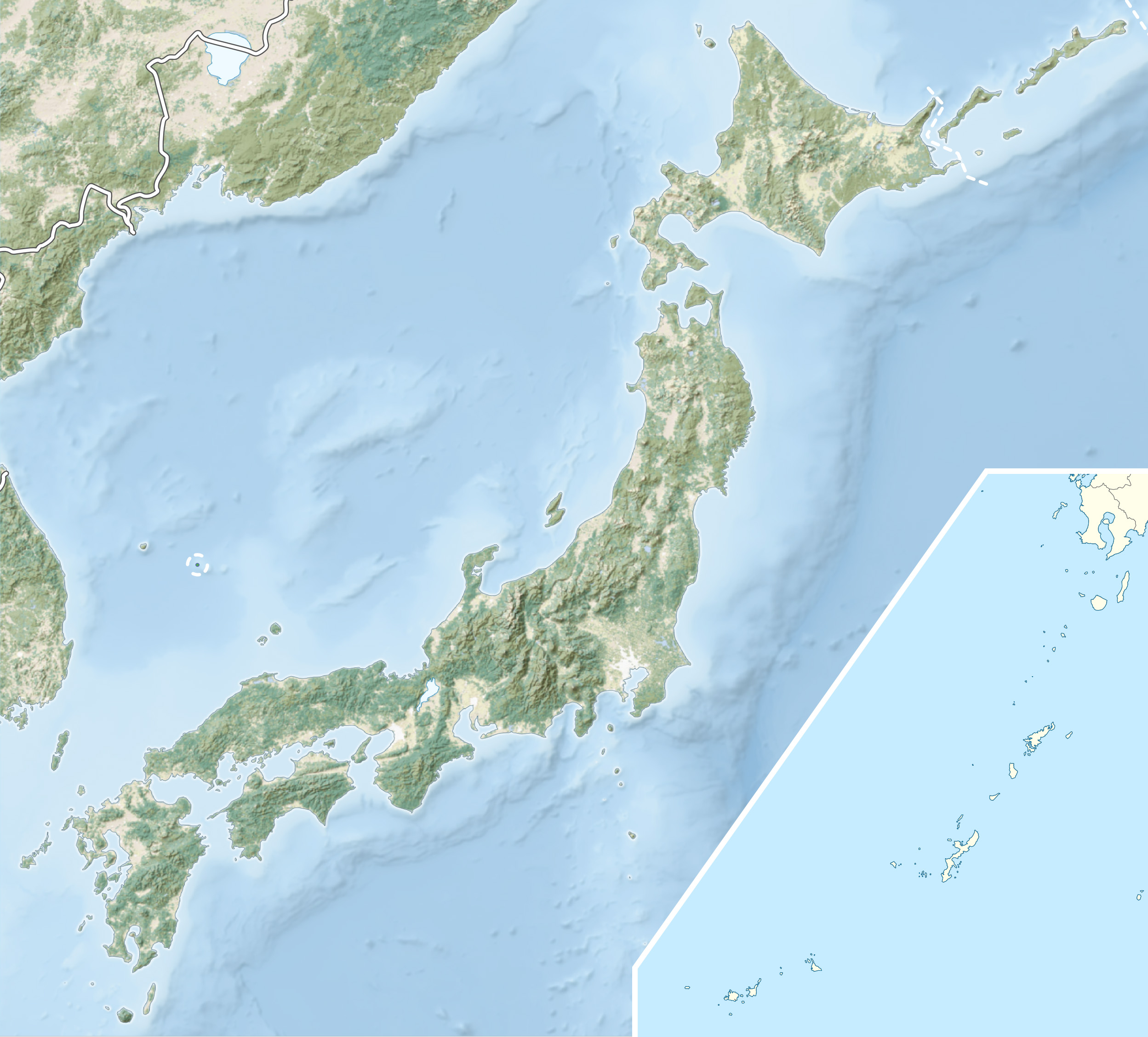
Coordinates 34°51′46″N 139°00′06″E / 34.86278°N 139.00167°ECoordinates: 34°51′46″N 139°00′06″E / 34.86278°N 139.00167°E Geology Type Stratovolcano Climbing Easiest route Hiking Mount Amagi (天城山 Amagi-san) is a range of volcanic mountains in central Izu Peninsula in Shizuoka Prefecture, Japan, forming the border between Izu City and Higashi-Izu Town. It is also referred to as the Amagi Mountain Range (天城連山 Amagi Renzan).
The Amagi mountains have several peaks, the tallest of which are Bansaburōdake (万三郎岳) at 1,406 metres (4,613 ft), Banjirōdake (万二郎岳) at 1,300 metres (4,300 ft), and Tōgasayama (遠笠山) at 1,197 metres (3,927 ft).[1]
There are several hiking routes to the top. Flora in the area include rhododendrons, Japanese andromeda, stewartia monadelpha and Siebold's beech.
Amagi is listed as one of the 100 Famous Japanese Mountains in a book composed in 1964 by mountaineer/author Kyūya Fukada.[2]
 View from North
References
- ^ http://www.peakbagger.com/peak.aspx?pid=10897
- ^ Hyakumeizan, Hiking Japan!. Japan Gazetteer.
External links
Categories:- Mountains of Shizuoka Prefecture
- Visitor attractions in Shizuoka Prefecture
- Shizuoka geography stubs


Wikimedia Foundation. 2010.