Madison Range

Madison Range

Geobox | Range
name=Madison


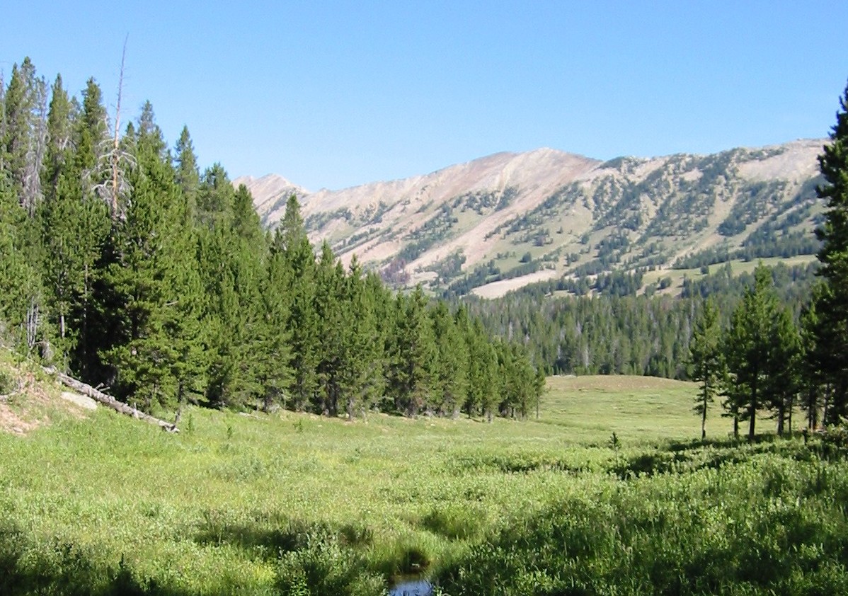
image_caption=Madison Range near Hebgen Lake
country=United States
region=Montana| Idaho
parent=Rocky Mountains
geology= | orogeny= | border=
length_imperial=80| length_orientation=
width_imperial= 25| width_orientation=
highest=Hilgard Peak
highest_elevation_imperial=
highest_lat_d=45|highest_lat_m=32|highest_lat_s=4|highest_lat_NS=N
highest_long_d=111|highest_long_m=46|highest_long_s=37|highest_long_EW=W


map_caption=
The Madison Range is a mountain range located in the Rocky Mountains of Montana and Idaho, U.S. The range was named in honor of future President of the United States, then U.S. Secretary of State James Madison by Meriwether Lewis as the Lewis and Clark Expedition travelled through Montana in 1805. The range extends mi to km|80 from West Yellowstone, Montana to Bozeman, Montana and is flanked by the Madison River on the west and the Gallatin River to the east. The highest point in the range is Hilgard Peak at ft to m|11316, a remote peak that wasn't climbed until 1948.cite web| last = | first = | authorlink = | coauthors = | title = Hilgard Peak| work = | publisher = Summitpost| date = | url = http://www.summitpost.org/mountain/rock/154202/hilgard-peak.html| format = | doi = | accessdate = 2008-09-10]

The Madison Range is the westernmost section of what is collectively referred to as the Greater Yellowstone Ecosystem. Most of the range lies within Beaverhead-Deerlodge and Gallatin National Forests. A small portion of the range has been further protected with the creation of the Lee Metcalf Wilderness. The region has grizzly and black bears and at least one pack of wolves. Most other larger mammal species native to the region continue to exist in the range.

Not far to the south of Mount Hilgard, lies Quake Lake, which was created in 1959 after a 7.3 magnitude earthquake caused a huge landslide which dammed the Madison River.cite web | last = U.S. Geological Survey | first = | authorlink = | coauthors = | year = | url = http://earthquake.usgs.gov/regional/states/events/1959_08_18.php| title = Largest Earthquake in Montana | format = | work = Historic Earthquakes| publisher = | accessdate = 2008-09-10]

Cited references


Wikimedia Foundation. 2010.

Игры ⚽ Поможем сделать НИР

Look at other dictionaries:

  • Madison Group — Madison Limestone Stratigraphic range: Mississippian …   Wikipedia

  • Madison River — Oberlauf des Madison Rivers im Yellowstone NationalparkVorlage:Infobox Fluss/KARTE fehlt …   Deutsch Wikipedia

  • Madison River — ▪ river, United States       river in southwestern Montana and northwestern Wyoming, U.S. The Madison River rises in the northwestern corner of Yellowstone National Park at the junction of the Gibbon and Firehole rivers. It flows west through… …   Universalium

  • Range Township, Madison County, Ohio — Infobox Settlement official name = Range Township, Ohio settlement type = Township nickname = motto = imagesize = image caption = image mapsize = 250x200px map caption = Municipalities and townships of Madison County. mapsize1 = map caption1 =… …   Wikipedia

  • Madison Symmetric Torus — Infobox Magnetic Fusion Device name = Madison Symmetric Torus dev type=Reversed field pinch loc=Madison, Wisconsin, USA rad maj = 1.50 m rad min = 52 cm aspect = 2.88|The Madison Symmetric Torus (MST) is a reversed field pinch (RFP) physics… …   Wikipedia

  • Madison Media Institute — infobox College name= Madison Media Institute president= Chris Hutchings established= 1969 type= Private, for profit College staff= 49 faculty= 49 students= 350 city= Madison state= Wisconsin country= USA campus= Urban website=… …   Wikipedia

  • Madison, Wisconsin — Infobox Settlement official name = City of Madison nickname = Mad Town or Mad City motto = imagesize = image caption = image mapsize = 250px map caption = Location of Madison in Dane County, Wisconsin subdivision type = Municipality subdivision… …   Wikipedia

  • Madison Township, Butler County, Ohio — Infobox Settlement official name = Madison Township, Ohio settlement type = Township nickname = motto = imagesize = image caption = image mapsize = 250x200px map caption = Municipalities and townships of Butler County. mapsize1 = map caption1 =… …   Wikipedia

  • Madison Public Schools — The Madison Public Schools are a comprehensive community public school district that serves students in Kindergarten through twelfth grade from Madison, in Morris County, New Jersey, United States. Average K 12 class sizes range from 19 22… …   Wikipedia

  • Madison Limestone — Age and nomenclatureThe Madison is formally known as the Madison Group. In Montana, where its thickness reaches convert|1700|ft|m| 1, the group is subdivided into the Mission Canyon Formation and Lodgepole Formation. Equivalents of the Madison… …   Wikipedia

Share the article and excerpts

Direct link
Do a right-click on the link above
and select “Copy Link”