- Chesterfield Canal
-
Chesterfield Canal Legend


West Stockwith Junction, River Trent 
Tidal lock 
West Stockwith basin 
Misterton locks (64 and 63) Shaw Lock (62) Gringley Top Lock (61) 

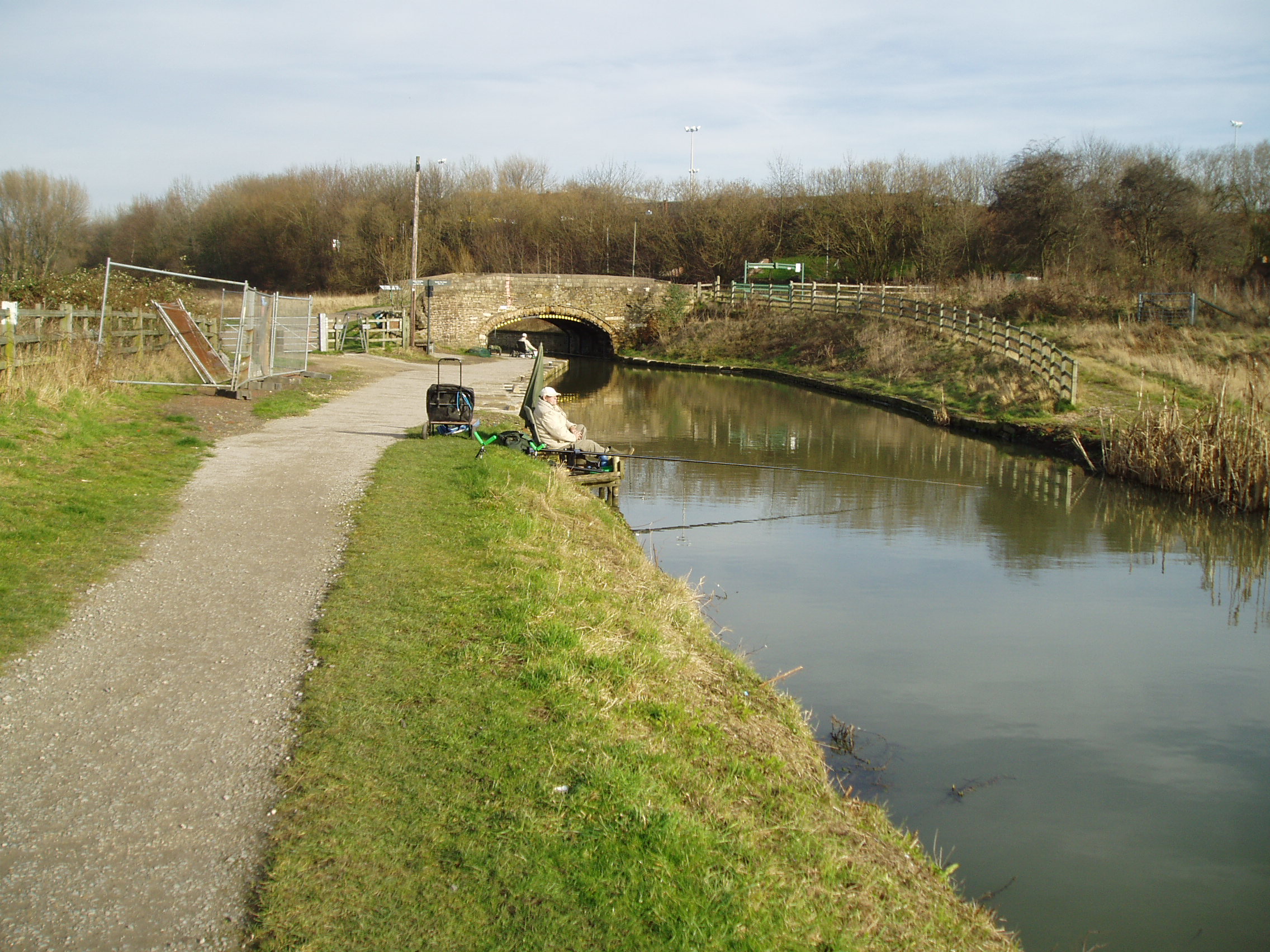
Drakeholes Tunnel (73) (154 yds) Whitsunday Pie Lock (60) Retford Town Lock (59) 
River Idle West Retford Lock (60) Forest locks (54-57) Ranby 
A1 Osberton Lock (53) 
Sheffield to Lincoln railway Kilton Low Lock (52) 
Bracebridge Pumping Station River Ryton Bracebridge Lock (51) Worksop Town Lock (50) Morse Lock (49) 


Lady Lee Arm Locks (47-48) Haggonfields lock (46) A57 Doefield Dun lock (45) Shireoaks Locks (42-44) 
Shireoaks Marina Boundary lock (41a) Ryton Aqueduct Turnerwood Locks (35-41) 
Turnerwood Double (33-34) Brown's lock (32) Brickyard Double (30-31) Milestone lock (29) Thorpe Low Treble (26-28) Thorpe locks (23-25) Thorpe Top Treble (20-22) Summit Pound 

Feeder from Harthill Reservoir 


Norwood Tunnel (2880 yards) 


Harthill and Pebley Resr 
M1 motorway 
(Blocked) 
Norwood Top Quadruple (16-19) Norwood Top Treble (13-15) Norwood Middle Treble (10-12) Norwood Bottom Treble (6-9) 

Killamarsh 
Fishery 
Renishaw 

Norbriggs cutting and wharf 

River Doe Lea aqueduct Staveley Hollingwood lock (5) Dixon's lock (4) Bluebank lock (3) Wheeldon Mill lock (2) Tapton Lock (1) 
A619 Tapton Tunnel 
Flood gate 
River Rother, Chesterfield 

Chesterfield Waterside 
New canal section 

River navigation 

River Rother 
Basin lock 
Chesterfield Basin
The Chesterfield Canal is in the north of England and it is known locally as 'Cuckoo Dyke'.[1] It was opened in 1777 and ran 46 miles (74 km) from the River Trent at West Stockwith, Nottinghamshire to Chesterfield, Derbyshire. It is currently only navigable as far as Kiveton Park near Rotherham, South Yorkshire, plus an isolated section near Chesterfield.The canal was built to export coal, limestone, and lead from Derbyshire, iron from Chesterfield, and corn, deals, timber, groceries, etc. into Derbyshire. The stone for the Palace of Westminster was quarried in South Anston, Rotherham, and transported via the canal.
Contents
Construction
 A section of the canal undergoing restoration
The route of the canal was surveyed by James Brindley and John Varley, who estimated the cost at £94,908 17s. Brindley presented his proposals to a meeting in Worksop on 24 August 1769. The investors asked John Grundy to carry out a second survey. He proposed a rather shorter course, from Stockwith in a straight line to Bawtry and then by Scrooby, Blyth and Carlton, to join Brindley's line at Shire Oaks. Grundy's line was 5½ miles (9 km) shorter, and the cost estimated at £71,479, 6s. 9½d. Although Grundy's line was considerably cheaper, it achieved this by missing Worksop and Retford, and the investors decided in favour of Brindley's route. An application was made to Parliament and the Act of Parliament received the Royal Assent on 28 March 1771, entitled An Act for making a navigable Cut or Canal from Chesterfield, in the county of Derby, through or near Worksop and Retford, to join the River Trent, at or near Stockwith, in the county of Nottingham.
The promoters consisted of one hundred and seventy-four persons, amongst whom were the Duke of Devonshire, the Duke of Newcastle, Lord Scarsdale, the Dean of York, and Sir Cecil Wray. They were incorporated by the name of The Company of Proprietors of the Canal Navigation from Chesterfield to the River Trent, and empowered to raise among themselves the sum of £100,000, in one thousand shares of £100 each, to fund the construction.
Immediately on the passing of the act, construction began under the direction of Brindley. Upon his death in September 1772, John Varley moved from Clerk of Works to resident engineer with Hugh Henshall, Brindley's brother-in-law. Concerns were raised about John Varley's accounting and collusion in awarding contracts for construction to his relatives, and in 1773 Henshall was appointed Chief Engineer. The canal was to be built as a narrow canal, but in 1775, nine shareholders offered to fund the extra cost of making it a broad canal from Retford to Stockwith. Retford Corporation joined them, and each contributed £500. The additional cost exceeded £6000. The canal was opened throughout in 1777, but there is no record of wide-beamed boats ever using it.[2]
As built, the canal was almost 46 miles (74 km) long, being 25 miles (40 km) from the Trent to Worksop[3] with a rise of 95 feet (29 m).[4] From Worksop to the entrance to Norwood Tunnel it was 6.1 miles (9.8 km)[3] with a further 145 feet (44 m) rise.[4] From there to Chesterfield it was a further 13.9 miles (22.4 km)[3] with a fall of 73 feet (22 m) followed by a rise of 40 feet (12 m).[4] There were 65 locks in all, with two tunnels: a short 154 yard (140 m) tunnel near Gringley Beacon, and the major 2,880 yard long Norwood Tunnel. At the time of construction, Norwood Tunnel was the joint longest canal tunnel in Britain, and it was sixth longest by the time it collapsed. The canal was a typical Brindley contour canal, following the contours to avoid costly cuttings and embankments, which resulted in a less than direct route in places.
The canal was initially fairly successful, with dividends being returned to the investors. However, the building of the Manchester, Sheffield and Lincolnshire Railway line parallel to the canal (1849) left much of the navigation redundant, and the Worksop to Chesterfield stretch ceased to serve commercial traffic in 1908, when problems with mining subsidence necessitated the closure of Norwood Tunnel. The stretch between the tunnel and Worksop subsequently fell into ruin and became un-navigable, while parts of the isolated section from the tunnel to Chesterfield were infilled and redeveloped.
Norwood Tunnel
Main article: Norwood TunnelNorwood Tunnel was a 2,884-yard-long (2,637 m), 9.25-foot-wide (2.82 m) and 12-foot-high (3.7 m), brick-lined (3 million of them)[5] canal tunnel on the line of the Chesterfield Canal with its Western Portal in Norwood, Derbyshire and its Eastern Portal in Kiveton, South Yorkshire.[6]
Drakeholes Tunnel
 Drakeholes Tunnel in 2007
Drakeholes Tunnel is a second, shorter tunnel 154 yards long also without a towpath built for the Chesterfield Canal at Drakeholes, Nottinghamshire a location between the Norwood Tunnel and the River Trent.
Hollingwood Common Tunnel
Hollingwood Common Tunnel is a disused navigable coalmine adit which terminated at the Chesterfield Canal near Staveley. This tunnel was 1.75 miles (2.82 km) long, its water level was one foot (30 cm) lower than that of the canal requiring the transshipment of coal at the terminus. The boats used were loaded underground within the coalmine the tunnel served; these boats were 21 feet (6.4 m) long and 3.5 feet (1.1 m) wide.[7]
Restoration
 The eastern portal of the Norwood Tunnel
In 1961, the entire length of the canal was proposed for official abandonment, but protests made meant that under the Transport Act 1968 it was classified as a cruiseway between the Trent and Worksop,[2] while the rest was classified as remainder. Restoration efforts began in the 1970s, with the Chesterfield Canal Society formed in 1976, focussing initially on the route east from Norwood Tunnel to Worksop, which presented relatively few physical obstacles to being restored to navigation.
However, in practice progress was slow, and attention turned to the section west of Norwood Tunnel, where much more damage had been done to the canal bed, with it being filled in and built over in many places. However, the last five miles (8 km) of the canal, from Chesterfield to Staveley, were in good condition, and restoration began in 1987, with Tapton lock being re-opened in 1990. Derbyshire County Council acquired the section of canal between Chesterfield and Staveley and secured several large grants to begin major restoration works. Over a ten year period, four more locks and three new bridges were built, with the five-mile (8 km) section from Chesterfield being reopened to navigation in 2002, though still isolated from other waterways. A breach in the canal in early 2007 forced temporary closure of all but the top pound of the canal above Tapton Lock. The County Council are currently restoring a further section of canal at Staveley and building a new canal marina, the Staveley Town Basin which will be rewatered late 2011.
 The head of navigation of the western section at Mill Green Bridge
East of Norwood, Derelict Land Grants were obtained by Rotherham and Nottinghamshire councils in 1995, and restoration between Norwood and Worksop began in earnest. In 2003, the Worksop to Norwood Tunnel stretch of the canal was reopened, with 30 restored locks, one new lock and three new bridges.
The most difficult part of the restoration project, linking the two re-opened sections, remains, with 10 miles (16 km) of canal to be restored or rebuilt, including the length of the tunnel. A significant diversion will be needed around the village of Killamarsh, where a housing estate has been built on the line of the canal. The middle section of the tunnel was lost to coal mining, and as part of the reclamation of the derelict mining area, the canal will be rebuilt in the open air, probably at a higher level with locks at each end. The eastern end of the tunnel will be retained; no firm decision has been made on the western end of the tunnel, which could be reused, or the new higher summit level extended to the west.
As a side note, in 1978 a maintenance team was dredging the bottom of the canal to remove rubbish. Later that day, they were told that a large whirlpool had formed and the canal was quickly losing water. It turned out, one of the first things removed from the canal was a large plug that had been installed to allow the canal to drain in an emergency.[8]
New link to the north
Proposals are at early stages for a link north from Killamarsh to the Sheffield and South Yorkshire Navigation along the River Rother, to be called the Rother Link.
Development
 New canal channel through under construction bridge at Staveley, Adjacent to Hall Lane.
As part of the works for the Staveley by-pass / Markham Vale Link road, the old line of the canal north of Staveley is being realigned and the new road is being built with the canal passing underneath in concrete channels.[9]
This section has been affected by modern roads crossing the line with no over-bridges, and had also been lost to opencast mine working in the past. Once complete the section from the locks at Hollingwood / Staveley Works along the valley to the north of Staveley will be reinstated, and can then be extended towards Renishaw.
This section of the route is also part of the Trans Pennine Trail cycle route.
The southern end of the canal in Chesterfield is being redeveloped as part of a £300 million project called Chesterfield Waterside. This will provide housing and amenities in an area which is currently derelict land. The project involves the creation of a short length of new canal to create an island in the centre of the site, navigation being restored to a length of the river, and a new basin at the southern edge of the site. Funding for the canal work is being provided by a £0.5 million grant from the East Midlands Development Agency,.[10] The basin has been completed and was opened in October 2009, although it remains isolated from the River Rother, to which it will be connected by a lock, while a back-pumping facility will supply it with water. Outline planning permission for the whole site was granted on 15 March 2010.[11]
See also
- List of waterway societies in the United Kingdom
- List of canal tunnels in the United Kingdom
- List of canal locks in the United Kingdom
- Adelphi Canal
- Derby Canal
- Derby and Sandiacre Canal Trust
- Chesterfield Canal Trust
References
Notes
- ^ "Waterscape - Chesterfield Canal". Waterscape. http://www.waterscape.com/canals-and-rivers/chesterfield-canal.
- ^ a b The Chesterfield Canal, James Roffey, Barracuda Books, 1989, ISBN 0-86023-461-4
- ^ a b c Inland Waterways of Great Britain, 8th Ed., (2009), Imray Laurie Norie and Wilson, ISBN 978-1-84623-010-3
- ^ a b c Chesterfield Canal map and elevations, Chesterfield Canal Society
- ^ "Whitwell Local History Group". http://www.wlhg.freeuk.com/book/part12.htm.
- ^ "Chesterfield Canal Trust History". http://www.chesterfield-canal-trust.org.uk/History.shtml.
- ^ Stephen Glover (1829), The history of the county of Derbyshire, Vol 1, Henry Mozley and Son
- ^ Lower, John (2008). "5". Chesterfield Canal. Richlow Books. pp. 18. ISBN 9780955260940. http://books.google.com/books?id=mIqjo7NF9cwC&pg=PT17&lpg=PT17&dq=chesterfield+canal+plug.
- ^ Chesterfield Canal Trust - official website
- ^ Waterways, Summer 2010, Issue 228, Inland Waterways Association
- ^ Chesterfield Borough Council, Chesterfield Waterside, accessed 2010-06-14
Bibliography
- De Salis, Henry Rodolph (1969). Bradshaw's Canals and Navigable Rivers. David & Charles. ISBN 0-7153-4689-X.
- Garner, E., (2003) "The Seven Canals of Derbyshire" Landmark Publishing
- Richardson, Christine; John Lower (2006). Chesterfield Canal 2006-7. Richlow Guides. ISBN 978-0-9552609-0-2. http://www.richlow.co.uk/.
External links
- "Chesterfield Canal's Route". http://www.chesterfield-canal-trust.org.uk/maps.shtml.
- "Chesterfield Canal Trust". http://www.chesterfield-canal-trust.org.uk/index.shtml.
- barrowhill memorial angling club
Coordinates: 53°14′23.71″N 1°25′15.62″W / 53.2399194°N 1.4210056°W
Categories:- Canals in Nottinghamshire
- Canals in Rotherham
- Sites of Special Scientific Interest in Nottinghamshire
- Canals in England
- Canals in Derbyshire
- Canals linked to the River Trent
- Chesterfield


Wikimedia Foundation. 2010.