Nawa-I-Barakzayi District — Not to be confused with Nawa District. Coordinates: 31°22′59″N 64°18′00″E / 31.383°N 64.3°E / 31.383; 64.3 … Wikipedia
Asadabad District — is one of 15 districts in Kunar Province, Afghanistan. It includes the city of Asadabad the district center, close the Kunar River. It is situated in the central part of the province. It has 12 big and small villages, which are surrounded by… … Wikipedia
Chahar Dara District — (also known as Char Dara, Chahar Darreh or Char Darreh) is one of the seven districts in Kunduz Province in northern Afghanistan. It is situated in the south west part of Kunduz Province and has borders with Qalay I Zal District to the north west … Wikipedia
Kandahar District — is situated in the central part of Kandahar Province, Afghanistan, surrounding the city of Kandahar. It borders with Panjwai District to the west, Arghandab District to the north, Shah Wali Kot District to the northeast and Daman District to the… … Wikipedia
Nijrab District — Country Afghanistan Region Kapisa Province … Wikipedia
Murghab District — For the district in Tajikistan, see Murghob district. Murghab district Murghab District … Wikipedia
Dawlat Shah District — is located approximately 74 km from Mehterlam, the provincial centre of Laghman Province. It is a mountainous district and borders Nuristan Province to the North and North East, Alingar District to the East, Alishing District to the South… … Wikipedia
Maywand District — A depiction of Maiwand during the 1878 British operations there. Maiwand District is situated in the western part of the Kandahar Province, Afghanistan. It borders Helmand Province to the west, Ghorak District to the north, Khakrez District to… … Wikipedia
Malestan District — Malistan is a district in the west of Ghazni Province, Afghanistan. Its population, which is 100% Hazara, was estimated at 71,784 in 2003.[1] The district capital is Meradina. Contents 1 History 2 Security … Wikipedia
Musa Khel District — This article is about the district in Afghanistan. For the district in Pakistan, see Musakhel District. Musa Khel District is situated in the northern part of the Khost Province, Afghanistan. It borders with Paktia Province to the north, Sabari… … Wikipedia
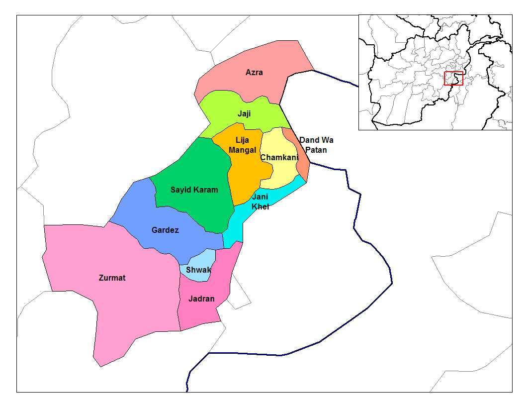
 Districts of Paktia Province