- Magnetawan
-
- Not to be confused with the First Nations reserve on Georgian Bay, see: Magnetawan 1, Ontario
Magnetawan — Township — Municipality of Magnetawan 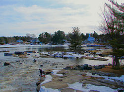
 Magnetawan
Coordinates: 45°40′N 79°38′W / 45.667°N 79.633°WCoordinates: 45°40′N 79°38′W / 45.667°N 79.633°W Country  Canada
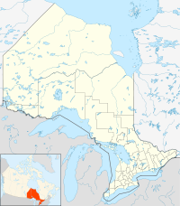
Province  Ontario
District Parry Sound Settled 1870s Incorporated January 1, 1998 Government – Type Township – Mayor Richard Smith – Federal riding Parry Sound—Muskoka – Prov. riding Parry Sound—Muskoka Area[1] – Land 523.07 km2 (202 sq mi) Population (2006)[1] – Total 1,610 – Density 3.1/km2 (8/sq mi) Time zone EST (UTC-5) – Summer (DST) EDT (UTC-4) Postal Code P0A Area code(s) 705 Website www.magnetawan.com  Municipal office and library
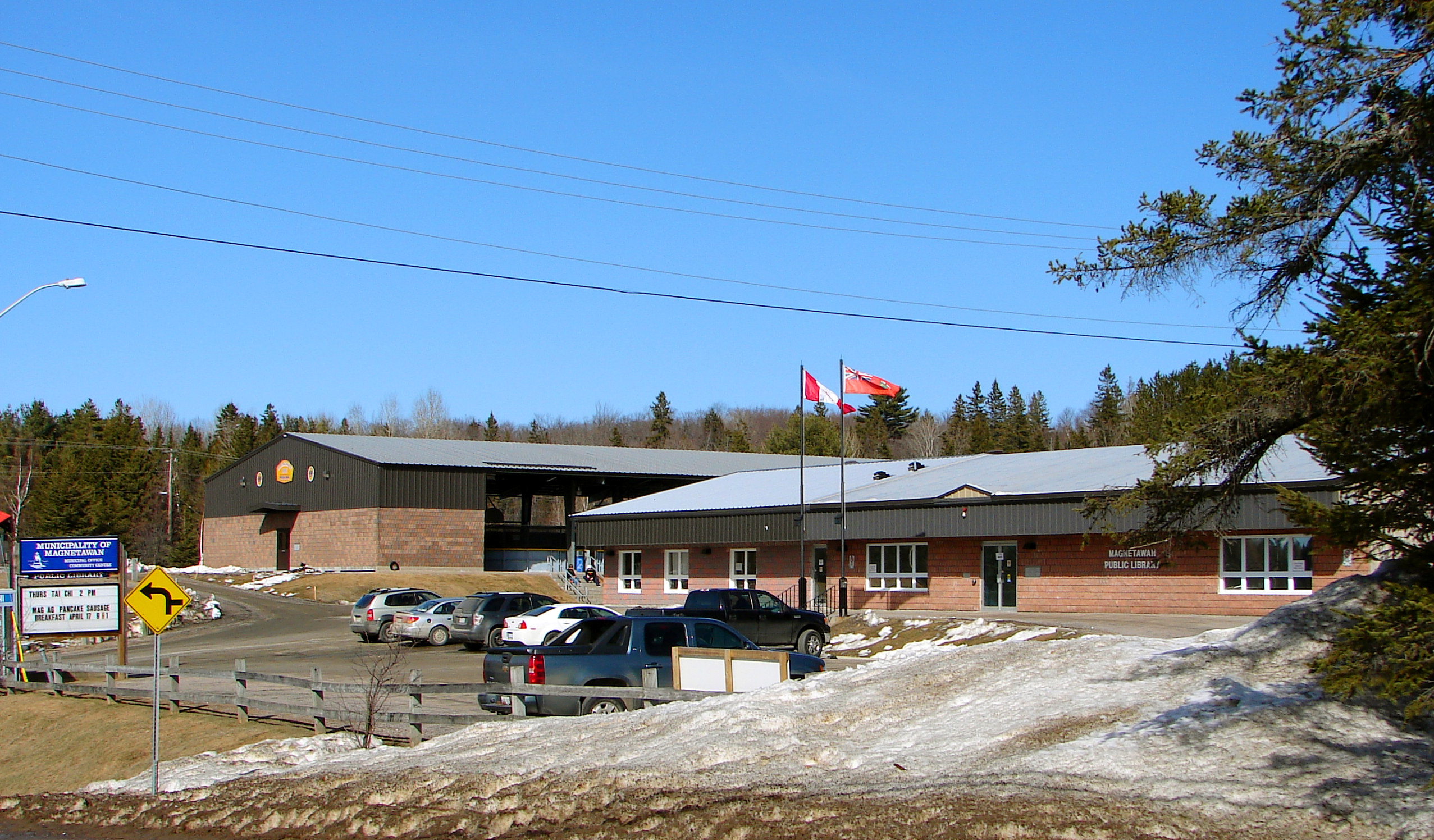
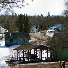
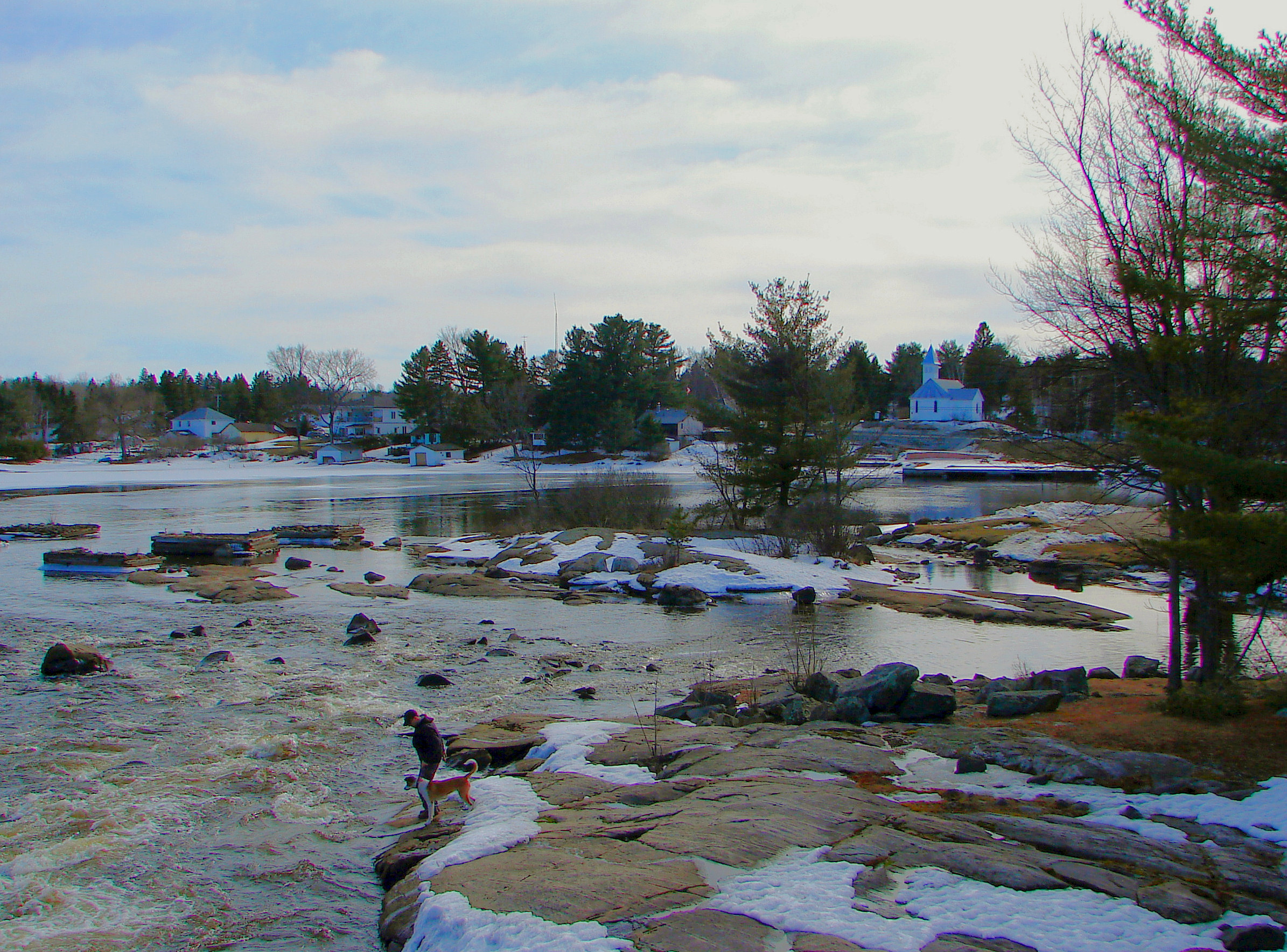
Magnetawan is a township in the Canadian province of Ontario, as well as the name of a community within the former Township of Chapman.
Located in the Parry Sound District, the township had a population of 1,610 in the 2006 Canadian census.
Barbara Hanley, the first woman ever elected mayor of a community in Canada, was born in Magnetawan in 1882.
The community of Magnetawan proper holds the status of designated place in Canadian censuses, separately from the rest of the township. Its population in the Canada 2006 Census was 265. It is sistered with the city of Baltimore, Maryland.
Contents
Communities
The township comprises the communities of Ahmic Harbour, Ahmic Lake, Cecebe, Cedar Croft, Chikopi, Dufferin Bridge, Magnetawan, North Seguin, Oranmore, Pearceley, Port Anson and Port Carmen, as well as the ghost town of Spence.
History
The first people to inhabit the region were the Hurons, Ojibway and Algonquins, who would visit the area in the summer for hunting and fishing but sheltered on Georgian Bay in the winter. While some Europeans explored the region in the early 19th century, settlement and colonization by Europeans was hardly taking place, so much so that the government considered turning the entire region into a Indian reserve.[2]
But when pine stands in southern Ontario became depleted, the area attracted loggers and the government changed its mind and encouraged settlement through free land grants, first offered in 1853. Settlement happened slowly but accelerated when the colonization road from Rosseau to Nipissing began being built in 1866.[2] In 1868, the government passed the Free Grand Land and Homestead Act and began advertising this extensively in European countries to attract new immigrants.[3] Croft Township was surveyed in 1869, Chapman Township in 1870, and the village of Magnetawan was mapped out in 1873.
The Township of Magnetawan was formed in 1998 through the amalgamation of the Township of Chapman and the Village of Magnetawan, along with the unincorporated geographic Townships of Croft and Spence.
Fire of 2011
Two Magnetawan families barely escaped a fire which destroyed major landmarks in this village community west of Highway 11 near Sundridge, Ont.
Mayor Sam Dunnett said the 2 a.m. fire ripped through the wood-framed downtown general store as it neared its 100th anniversary, as well as the nearby restaurant almost as old.
Demographics
Population trend:[4]
- Population in 2006: 1610 (2001 to 2006 population change: 20.0 %)
- Population in 2001: 1342
- Population total in 1996: 1324
- Magnetawan (village): 241
- Chapman (township): 645
- Population in 1991:
- Magnetawan (village): 267
- Chapman (township): 605
Private dwellings occupied by usual residents: 703 (total dwellings: 1901)
Mother tongue:[1]
- English as first language: 87.2 %
- French as first language: 2.5 %
- English and French as first language: 0 %
- Other as first language: 10.3 %
Local lakes and rivers
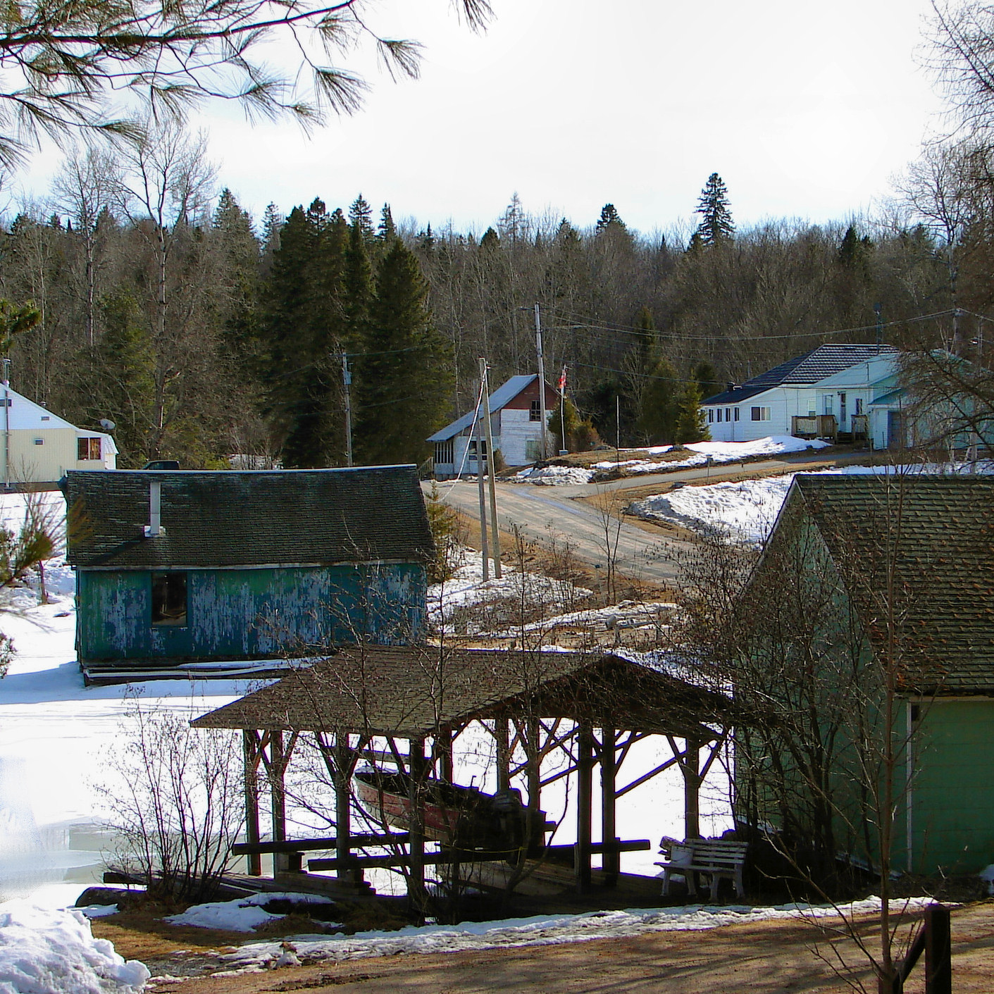
 Ahmic Harbour
References
- ^ a b c Statistics Canada 2006 Census - Magnetawan community profile
- ^ a b "Aborginals Hurons, Ojibway and Algonquins". Municipality of Magnetawan. http://www.magnetawan.com/index.php?option=com_content&view=article&id=8:aborginals&catid=1:history&Itemid=13. Retrieved 2010-08-24.
- ^ "The Land Grants". Municipality of Magnetawan. http://www.magnetawan.com/index.php?option=com_content&view=article&id=9:land-grants&catid=1:history&Itemid=13. Retrieved 2010-08-24.
- ^ Statistics Canada: 1996, 2001, 2006 census
External links
- Magnetawan, Ontario's Tourist and Community Information
- Discovery Routes Trails Organization - Magnetawan Area, A system of multi-use trails through the Magnetawan Area
- Magnetawan Ontario, Almaguin Highlands Regional Portal

Whitestone Unorg. Centre Parry Sound Machar McKellar 
Strong  Magnetawan

Seguin McMurrich/Monteith Ryerson Towns Kearney • Parry Sound • Powassan
Townships The Archipelago • Armour • Callander • Carling • Joly • Machar • Magnetawan • McDougall • McKellar • McMurrich/Monteith • Nipissing • Perry • Ryerson • Seguin • Strong • WhitestoneVillages Burk's Falls • South River • SundridgeFirst Nations Local services boards Unorganized areas Centre Part • North East PartSee also: Communities in Parry Sound District • Census divisions of OntarioCategories:- Township municipalities in Ontario
- Municipalities in Parry Sound District, Ontario
- Designated places in Ontario

Wikimedia Foundation. 2010.