- Chénéville, Quebec
-
Chénéville 
Coordinates: 45°53′N 75°03′W / 45.883°N 75.05°WCoordinates: 45°53′N 75°03′W / 45.883°N 75.05°W Country  Canada
Province  Quebec
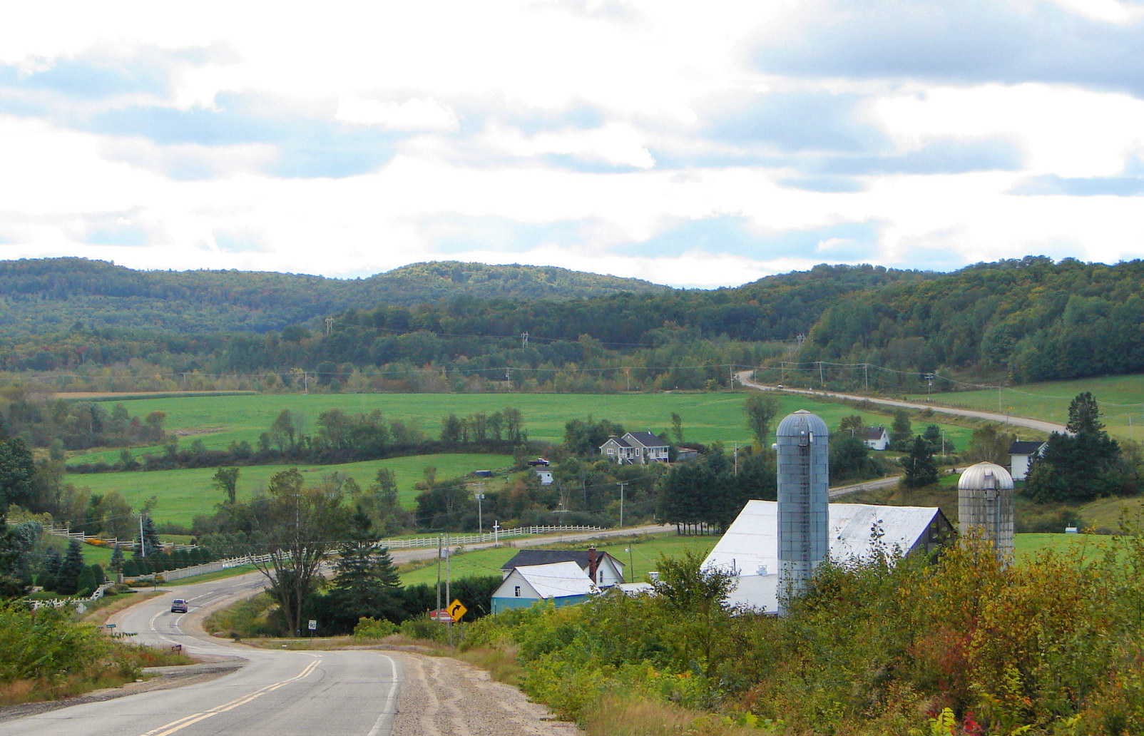
Region Outaouais Settled 1850s Incorporation August 21, 1996 Government – Type Municipality – Mayor Gilles Tremblay Area[1] – Total 65.22 km2 (25.2 sq mi) – Land 64.99 km2 (25.1 sq mi) Population (2006)[2] – Total 784 – Density 12.1/km2 (31.3/sq mi) Time zone EST (UTC-5) – Summer (DST) EDT (UTC-4) Postal Code J0V Area code(s) 819 Website www.ville.cheneville.qc.ca  Route 315 through Chénéville
Chénéville is a town and municipality in the Outaouais region of Quebec, Canada, part of the Papineau Regional County Municipality.
History
First settled in the middle of the 19th century, its first post office opened in 1864 under the name Sévigné, perhaps in honour of the Marquise de Sévigné (1626-1696). From 1876 to 1884, the post office was known as Hartwell, and from 1884 on, it became Chénéville. It could be that it was renamed in memory of a nephew of Hercule Chéné who was born around 1864.[3] (Pierre Hercule Chéné (1834-1904) was mayor of Ripon-et-Hartwell, Hartwell-et-Suffolk, Hartwell, and Hartwell-et-Preston, and counselor of Chénéville.[4])
In 1903, the village separated from the United Township Municipality of Hartwell-et-Preston to form the Village Municipality of Chénéville, following a request from 55 citizens submitted to the Lieutenant Governor.[3] Hygin Locas was its first mayor. At that time, the village consisted of 26 homes and 6 streets.[4]
The Vinoy Post Office opened in 1871, most likely named in honour of the French General Joseph Vinoy (1800-1880). In 1920, the western portion of Suffolk Township separated and formed the Township Municipality of Suffolk-West, but was renamed Vinoy three years later. On August 21, 1996, the Vinoy merged to Chénéville and the formed the new Municipality of Chénéville.[3]
Demographics
Population:[5]
- Population in 2006: 784
- Population in 2001: 738
- 2001 to 2006 population change: 6.2 %
- Population total in 1996: 755
- Chénéville (village): 646
- Vinoy (municipality): 109
- Population in 1991:
- Chénéville (village): 635
- Vinoy (municipality): 125
Total private dwellings, excluding seasonal cottages: 361 (total: 431)
Mother tongue:
- English as first language: 0 %
- French as first language: 99 %
- English and French as first language: 0 %
- Other as first language: 1 %
References
- ^ Total area: Ministère des Affaires Municipales et Régions
Land area: Statistics Canada - ^ Statistics Canada 2006 Census
- ^ a b c "Chénéville (Municipalité)" (in French). Commission de toponymie du Québec. http://www.toponymie.gouv.qc.ca/ct/topos/carto.asp?Speci=319411&Latitude=45,88333&Longitude=-75,05&Zoom=1700. Retrieved 2009-01-08.
- ^ a b "Patrimoine Municipalité de Chénéville" (in French). Corporation municipale de Chénéville. http://www.ville.cheneville.qc.ca/pchene.html. Retrieved 2009-01-08.
- ^ Statistics Canada: 1996, 2001, 2006 census

Duhamel Lac-des-Plages Lac-Simon 
Saint-Émile-de-Suffolk
Namur Chénéville

Ripon Saint-André-Avellin, Notre-Dame-de-la-Paix Subdivisions of Papineau Regional County Municipality Cities Municipalities Boileau • Bowman • Chénéville • Duhamel • Fassett • Lac-des-Plages • Lac-Simon • Mayo • Montebello • Montpellier • Mulgrave-et-Derry • Namur • Notre-Dame-de-Bonsecours • Notre-Dame-de-la-Paix • Papineauville • Plaisance • Ripon • Saint-André-Avellin • Saint-Émile-de-Suffolk • Saint-Sixte • Val-des-BoisTownships Other RCMs in Outaouais: Pontiac • Les Collines-de-l'Outaouais • La Vallée-de-la-Gatineau • Gatineau (Independent city)Categories:- Incorporated places in Outaouais
- Municipalities in Quebec

Wikimedia Foundation. 2010.