- Great Lakes Megalopolis
-
Great Lakes Megaregion — Megaregion of the U.S. and Canada — Chicago Toronto
 Detroit
Country  United States ,
 Canada
Population 54 million The Great Lakes Megalopolis consists of the group of North American metropolitan areas which surround the Great Lakes region mainly within the Midwestern United States, the Southern Ontario area of Canada, along with large parts of Pennsylvania, New York, and Quebec. The region extends from the Milwaukee–Chicago corridor to the Detroit–Toronto corridor, and includes Buffalo, Cincinnati, Cleveland, Columbus, Dayton, Grand Rapids, Indianapolis, Louisville, Ottawa, Rochester, and Toledo, reaching as far as Pittsburgh, St. Louis, and Kansas City. The region had an estimated population of 54 million for the 2000 Census and is projected to reach about 65 million by 2025.[1][2]
Contents
History of the concept
The region was partially outlined as an emergent megalopolis in the 1961 book Megalopolis: The Urbanized Northeastern Seaboard of the United States by French geographer Jean Gottmann. Gottmann envisaged the development of megalopolises in the U.S.: BosWash, from Boston to Washington, D.C., Chipitts from Chicago to Pittsburgh, and SanSan, from San Francisco to San Diego. In 1965, Herman Kahn speculated about the future of the three megalopolises in the year 2000,[3] referring to their names as "half-frivolous" and not mentioning Gottman. In the 1960s and 1970s, urban planner and architect Constantinos Doxiadis authored books, studies, and reports including those regarding the growth potential of the Great Lakes Megalopolis.[4] Doxiadis envisioned Detroit as the central urban area in the Great Lakes Megalopolis.[4]
The Virginia Tech Metropolitan Institute's Beyond Megalopolis, an attempt to update Gottmann's work, outlined a similar "Midwest" megapolitan area as one of ten such areas in the United States.[5] Over 200 million tons of cargo are shipped annually through the Great Lakes.[6][7][8] Half the nation's population growth and two-thirds of its economic growth is expected to occur within the megaregions over the next four decades. America 2050 project has identified eleven Megaregions of the United States, including the Great Lakes Megalopolis.[1][A]
Economy
As a separate economy, the Great Lakes region, which includes most of the area urban planners have called the Great Lakes Megalopolis, is one of the world's largest economies. The Great Lakes contain one-fifth of the world's surface fresh water and have a combined shoreline of 10,210 miles (17,017 km). About 200 million tons of cargo are shipped by way of the Great Lakes each year.[9][10][11]
Tourism is an important economic factor in and around the Great Lakes. The Great Lakes Cruising Coalition supports passenger ship cruises through a joint U.S-Canadian venture to Great Lakes Ports and the Saint Lawrence Seaway.[12]
Population centers
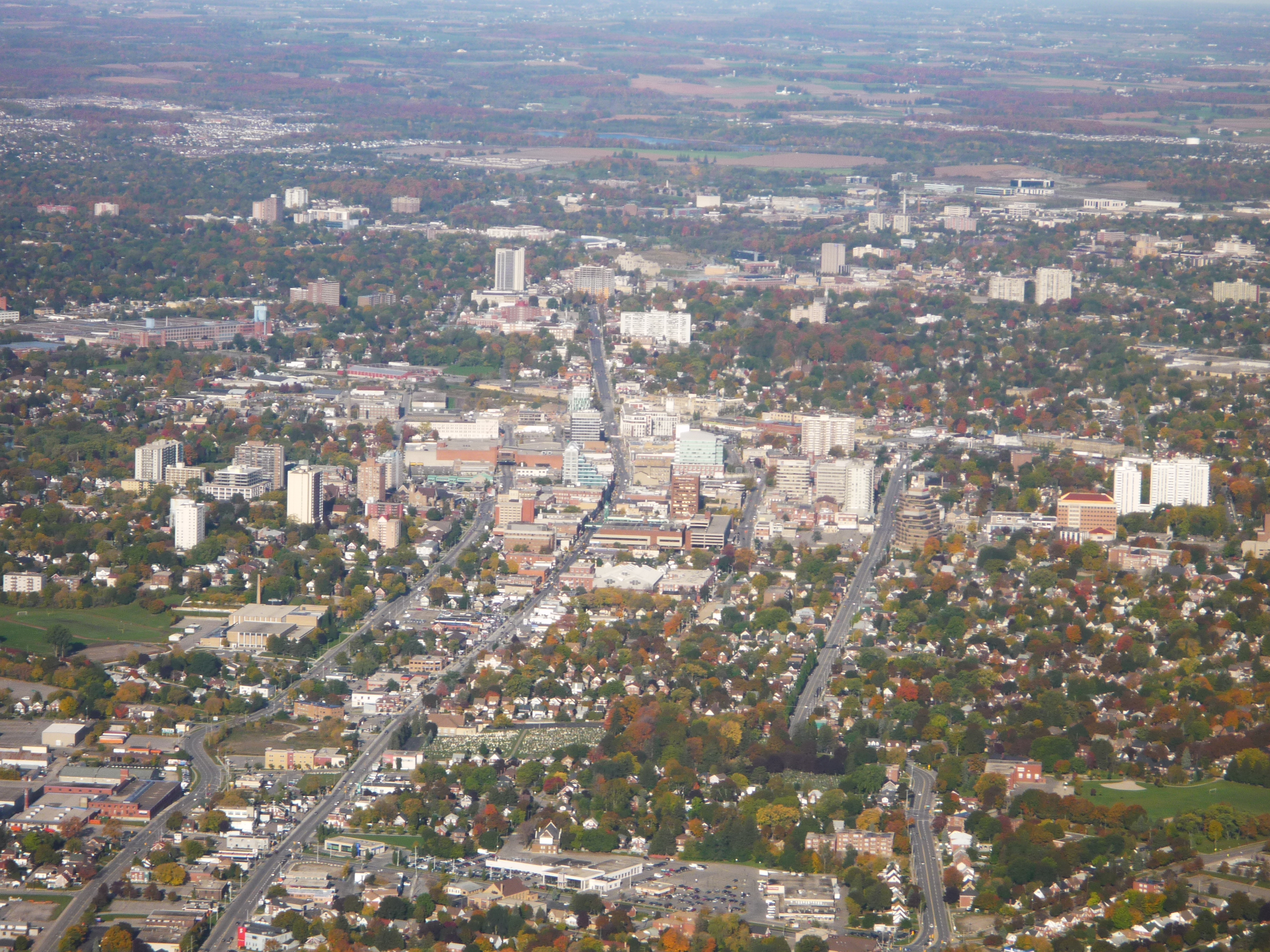
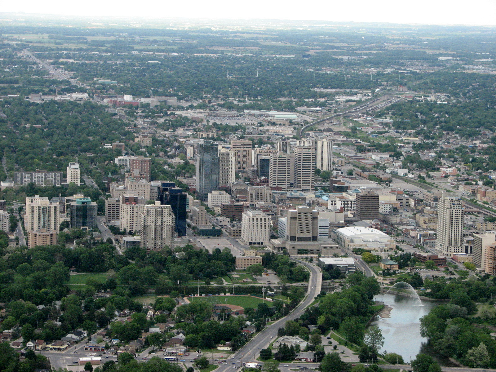
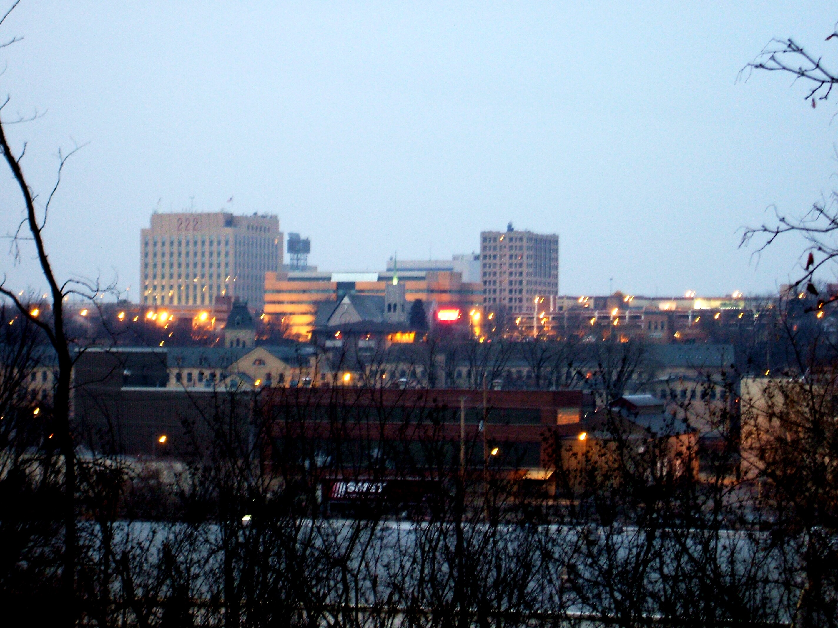
Rank Area State/
ProvinceImage CSA/CMA
2009 populationProjected[13][14][15]
2025 populationProjected increase
2009-20251 Chicago IL-IN-WI 
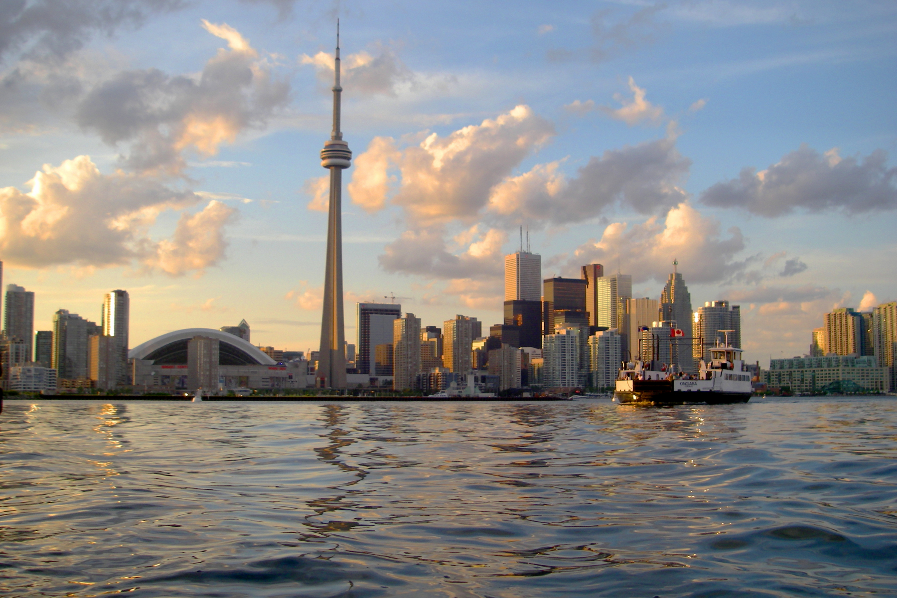
9,804,845 10,935,100 1,130,255 2 Toronto ON 
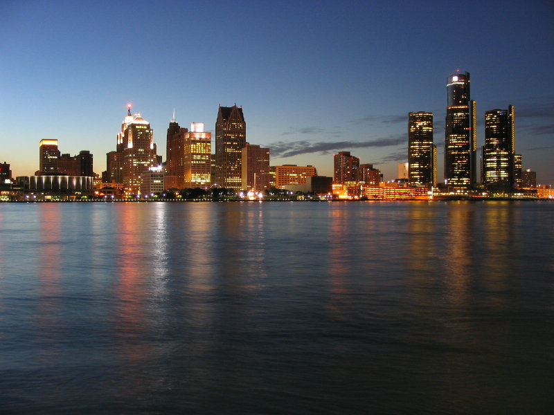
5,741,400 7,408,000 1,666,600 3 Detroit MI 
5,327,764 6,191,000 863,236 4 Montreal QC 
3,859,300 4,246,931 387,631 5 Minneapolis – Saint Paul MN-WI 
3,604,460 4,031,000 426,540 6 St. Louis MO-IL 
2,892,874 3,049,000 156,126 7 Cleveland OH 
2,891,988 3,172,000 280,012 8 Pittsburgh PA 
2,445,117 2,168,818 -267,299 9 Cincinnati OH-KY-IN 
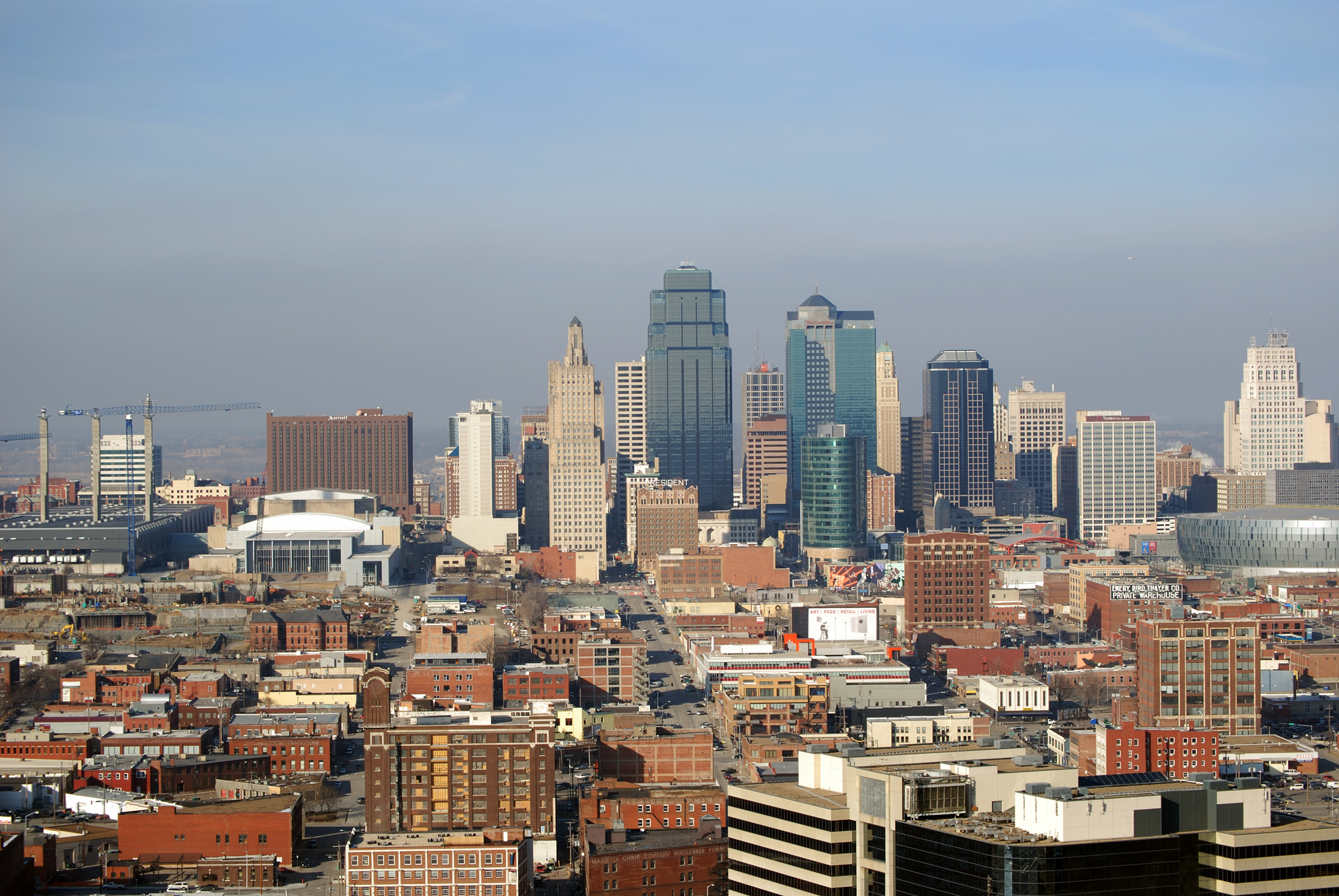
2,214,954 2,448,000 233,046 10 Kansas City MO-KS 
2,067,585 2,374,900 307,315 11 Indianapolis IN 
2,064,870 2,406,000 341,130 12 Columbus OH 
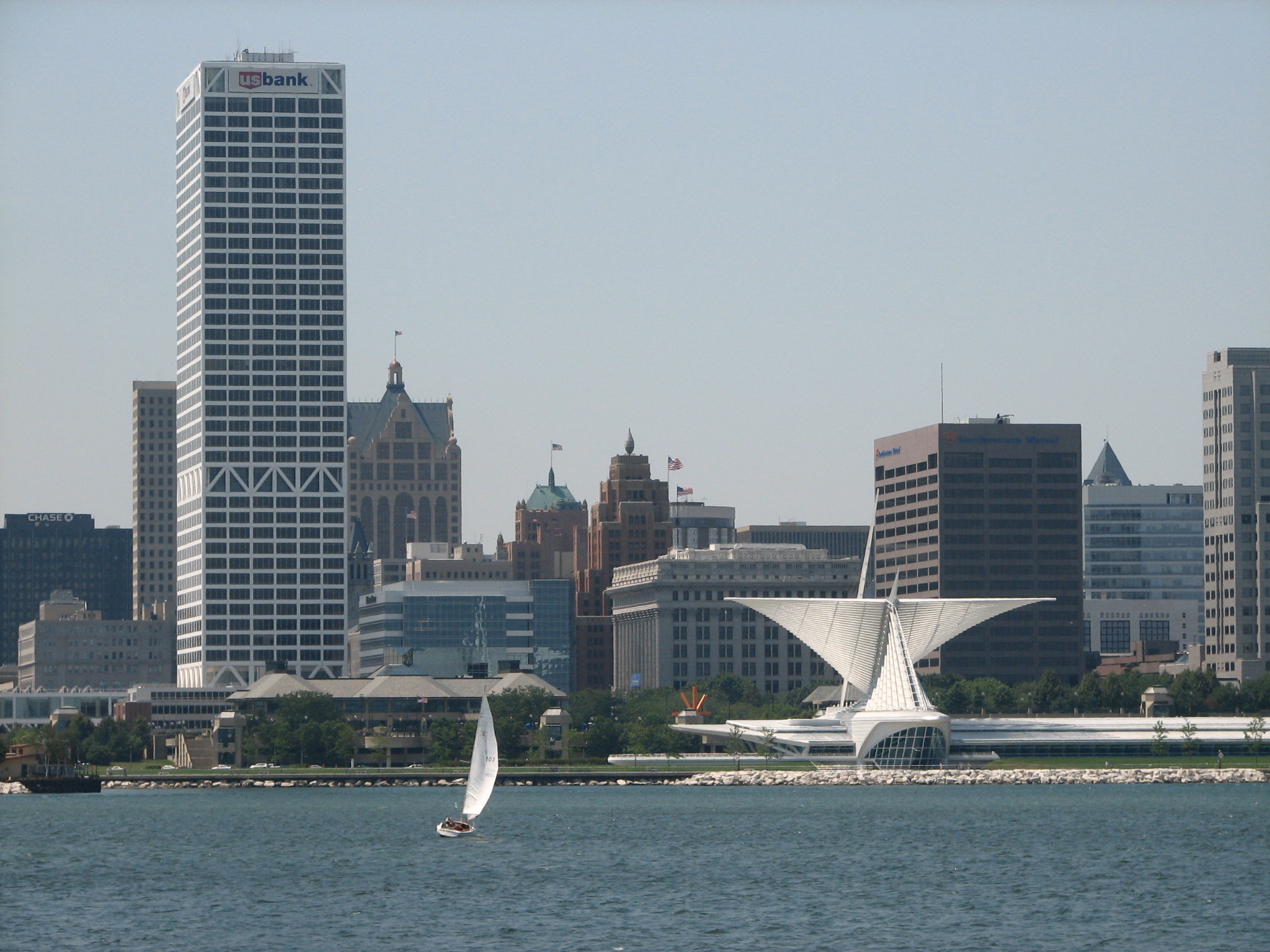
2,031,229 2,446,450 415,221 13 Milwaukee WI 
1,760,268 1,913,000 157,732 14 Ottawa – Gatineau ON-QC 
1,451,415 1,596,556 145,141 15 Louisville KY-IN 
1,395,634 1,602,456 206,822 16 Grand Rapids MI 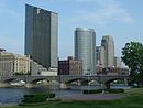
1,327,366 1,530,000 202,634 17 Buffalo NY 
1,203,493 1,040,400 -163,093 18 Rochester NY 
1,149,653 1,078,600 -71,053 19 Dayton OH 
1,066,261 1,066,261 0 20 Hamilton ON 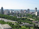
740,200 954,858 214,658 21 Toledo OH-MI 
672,220 672,220 0 22 Madison WI 
628,947 820,483 191,563 23 Lansing MI 
523,609 547,325 23,716 24 Kitchener – Waterloo ON 
492,400 635,196 142,796 25 London ON 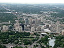
492,200 634,938 142,738 26 Fort Wayne IN 
414,315 414,315 0 27 St. Catharines – Niagara ON 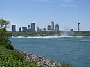
404,400 521,676 117,276 28 Windsor ON 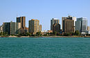
330,900 426,861 95,961 Total CSA/CMA of major metro areas US-Canada 
58,764,771 64,918,029 6,153,258 Notes
- A. ^ a Various sources include Montreal and Ottawa in the megalopolis, while excluding Minneapolis–Saint Paul, St. Louis, Kansas City, Cincinnati, Indianapolis, Louisville, and Columbus.[16]
Gallery
-

Saint Paul
-

Fox Cities
-

Quad Cities
-

Duluth
-

Rochester (MN)
-

Cedar Rapids
See also
- Great Lakes
- Metropolitan Statistical Area
- Conurbation
- Megalopolis (city type)
- Megaregions of the United States
- Quebec City – Windsor Corridor
References
- ^ a b America 2050: Megaregions: Great Lakes. Regional Plan Association.
- ^ Regional Plan Association (2008). America 2050: An Infrastructure Vision for 21st Century America. New York, NY: Regional Plan Association.
- ^ Bell, Daniel; Stephen Richards Graubard (1997). Toward the year 2000: work in progress. MIT Press. p. 87. ISBN 0262522373.
- ^ a b Cities: Capital for the New Megalopolis.Time magazine, November 4, 1966. Retrieved on July 16, 2010.
- ^ MegaCensusReport.indd
- ^ http://www.glerl.noaa.gov/pr/ourlakes/facts.html
- ^ http://www.great-lakes.net/econ/
- ^ U.S Army Corps of Engineers (January 2009).Great Lakes Navigation System: Economic Strength to the Nation. Retrieved on April 11, 2011.
- ^ Our lakes facts. NOAA. Retrieved July 25, 2011.
- ^ http://www.great-lakes.net/econ/
- ^ U.S Army Corps of Engineers (January 2009).Great Lakes Navigation System: Economic Strength to the Nation. Retrieved on July 25, 2011.
- ^ Great Lakes Cruising Coalition Retrieved on July 25, 2011.
- ^ Federation for American Immigration Reform
- ^ Ontario Population Projections Update
- ^ Institut de la statistique Quebec
- ^ Example: The Center for Urban and Regional Studies, Youngstown State University (2005). Great Lakes Megalopolis (Map). http://cfweb.cc.ysu.edu/psi/bralich_map/great_lakes_region/great_lakes_megalopolis.pdf.
Great Lakes of North America Main lakes 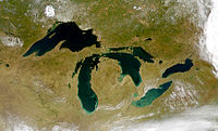
Secondary lakes Waterways Detroit River • Erie Canal • French River • Great Lakes Waterway • Niagara River • Nipigon River • St. Clair River • Saint Lawrence River • Saint Lawrence Seaway • St. Marys River • Soo Locks • Straits of Mackinac • Trent–Severn Waterway • Welland CanalLists of islands Historic geology Lakeshores Related topics Basin • Bays of the Great Lakes • Great Lakes region • Georgian Bay • Great Lake ships • Isle Royale • Lake effect • Manitoulin Island • Megalopolis • Quebec City – Windsor Corridor • Settlements • Shipwrecks • Tall shipsCategories:- Megapolitan areas of the United States
- Metropolitan areas
- Great Lakes
- Midwestern United States
- Great Lakes region (U.S.)
- Geography of Ontario
- Chicago metropolitan area
- Regions of Illinois


Wikimedia Foundation. 2010.