- Church End, Arlesey
-
Coordinates: 52°00′37″N 0°15′34″W / 52.01024°N 0.25955°W
Church End 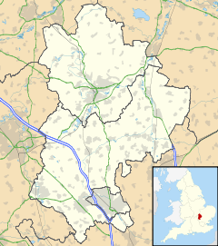
 Church End
Church End shown within BedfordshireOS grid reference TL195360 Parish Arlesey Unitary authority Central Bedfordshire Ceremonial county Bedfordshire Region East Country England Sovereign state United Kingdom Post town ARLESEY Postcode district SG15 Dialling code 01462 Police Bedfordshire Fire Bedfordshire and Luton Ambulance East of England EU Parliament East of England UK Parliament North East Bedfordshire List of places: UK • England • Bedfordshire Church End is a former hamlet in Bedfordshire, England, which is now part of Arlesey town.
Originally, Church End was a small rural settlement, named after St Peters Church which was built in the 12th century in the area by the monks of Waltham Abbey. However, the expansion of Arlesey northwards led to Church End being encompassed by the town. Today, Church End represents the northern part of Arlesey town, and is the location of Arlesey railway station.
Categories:- Villages in Bedfordshire
- Bedfordshire geography stubs

Wikimedia Foundation. 2010.