- Churton by Farndon
-
Coordinates: 53°05′38″N 2°52′05″W / 53.094°N 2.868°W
Churton by Farndon 
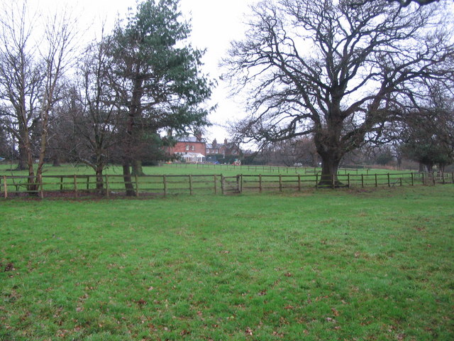
Sibbersfield Hall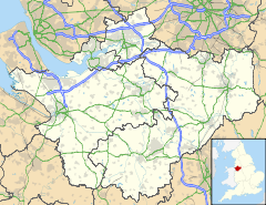
 Churton by Farndon
Churton by Farndon shown within CheshirePopulation 146 (2001) OS grid reference SJ4255 Parish Churton by Farndon Unitary authority Cheshire West and Chester Ceremonial county Cheshire Region North West Country England Sovereign state United Kingdom Post town CHESTER Postcode district CH3 Dialling code 01829 Police Cheshire Fire Cheshire Ambulance North West EU Parliament North West England UK Parliament Eddisbury List of places: UK • England • Cheshire Churton by Farndon is a civil parish in the Borough of Cheshire West and Chester and ceremonial county of Cheshire in England. It has a population of 146.[1] The parish includes the southern part of the village of Churton.
See also
References
- ^ Office for National Statistics : Census 2001 : Parish Headcounts : Chester Retrieved 2009-12-12
External links
 Media related to Churton by Farndon at Wikimedia Commons
Ceremonial county of Cheshire Unitary authorities Major settlements Alsager • Birchwood • Bollington • Chester • Congleton • Crewe • Ellesmere Port • Frodsham • Knutsford • Macclesfield • Middlewich • Nantwich • Neston • Northwich • Poynton • Runcorn • Sandbach • Warrington • Widnes • Wilmslow • Winsford
See also: List of civil parishes in CheshireRivers Topics History • MuseumsCategories:- Villages in Cheshire
- Civil parishes in Cheshire
- Cheshire geography stubs

Wikimedia Foundation. 2010.