- City of St Albans
-
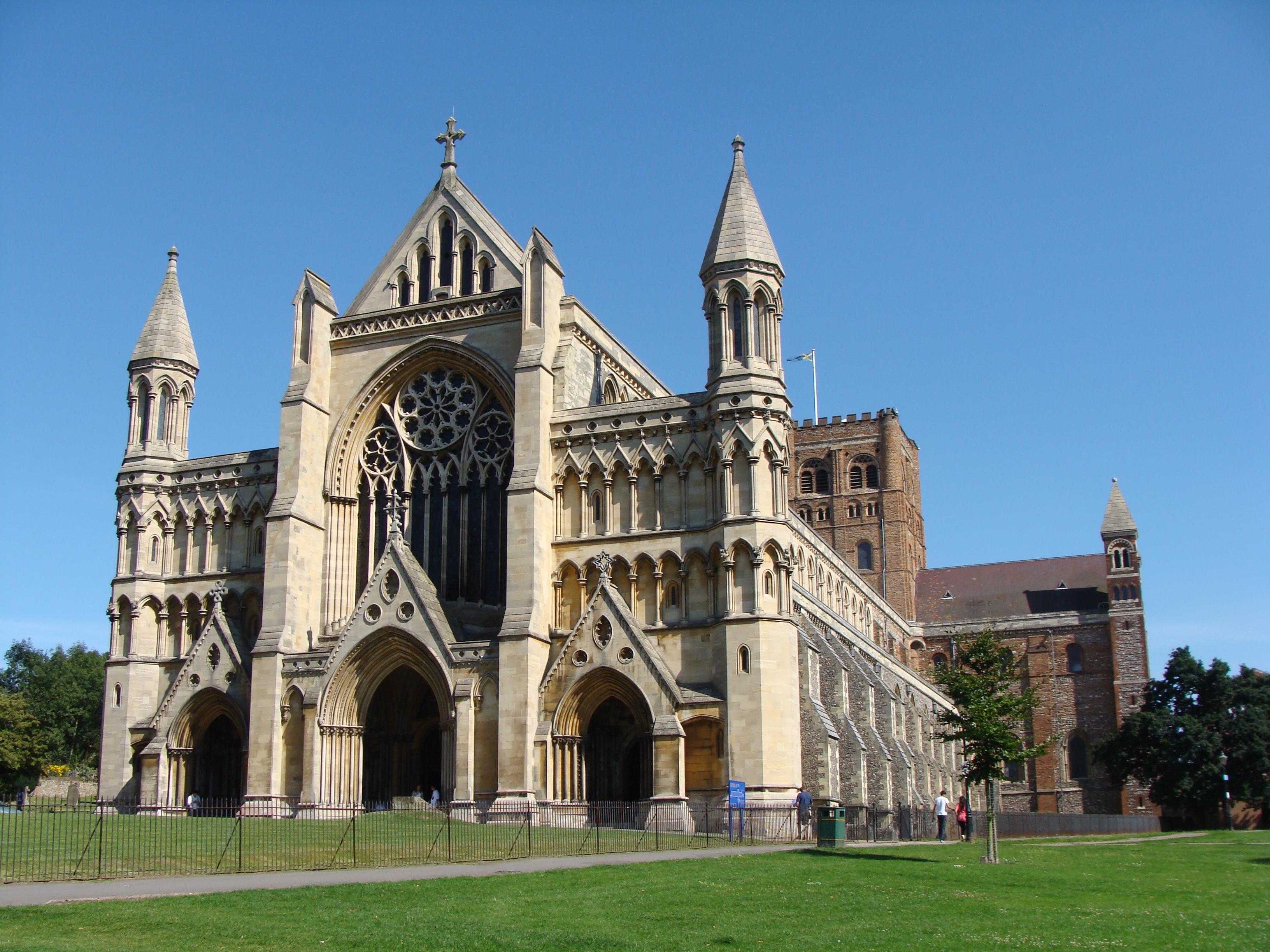
City of St Albans — Non-metropolitan district, Borough, City — St Albans Cathedral

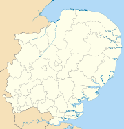
Coat of armsSt Albans shown within Hertfordshire
Sovereign state United Kingdom Constituent country England Region East of England Non-metropolitan county Hertfordshire Status Non-metropolitan district, Borough, City Admin HQ St Albans Incorporated 1 April 1974 Government - Type Non-metropolitan district council - Body St Albans City Council - Leadership Leader & Cabinet - MPs Anne Main
Peter LilleyArea - Total 62.2 sq mi (161.18 km2) Area rank 182nd (of 326) Population (2010 est.) - Total 138,800 - Rank 143rd (of 326) - Density 2,230.4/sq mi (861.1/km2) - Ethnicity 90.9% White
4.1% S.Asian
1.7% Black
1.9% Mixed Race
1.4% Chinese or OtherTime zone GMT (UTC0) - Summer (DST) BST (UTC+1) ONS code 26UG OS grid reference TL148073 Website stalbans.gov.uk The City of St Albans /sɨnt ˈɔːlbənz/, also known as the City and District of St Albans or District of St Albans, is a local government district, in Hertfordshire, England. It was created in 1974 and since then has held the status of non-metropolitan district and city. The local authority is St Albans City Council. It has routes to the M1 motorway via the A414 road (formerly the M10 motorway), and rail routes to London St Pancras and Watford via St Albans City railway station and St Albans Abbey railway station respectively.
Geography
The district includes St Albans (population c. 58,000), Harpenden (population c. 27,600), the parishes of Colney Heath, Harpenden Rural, London Colney, Redbourn, St Michael's, St Stephen's (including the villages of Chiswell Green and Bricket Wood), Sandridge and Wheathampstead. Nearby places outside the district include Hatfield to the east, Welwyn Garden City to the northeast, Luton and Dunstable to the northwest, Hemel Hempstead to the west, Watford to the southwest and Borehamwood to the south.
Governance
The local authority is St Albans City Council, which also calls itself St Albans City and District Council and St Albans District Council. The irregular sounding name reflects the diverse nature of the area covered, with two main urban areas and several villages; typically districts with the status of cities are known simply as Cities, for example the City of Peterborough or the City of York.
The district was created on 1 April 1974 as a merger of the City of St Albans, the Harpenden Urban District and most of St Albans Rural District. City status had been granted to the municipal borough of St Albans in 1877, following the elevation of St Albans Abbey to cathedral.[1] The status was granted to the entire district by letters patent dated 9 July 1974.[2]
References
- ^ London Gazette: no. 24502. p. 5185. 11 September 1877. Retrieved 12 May 2010.
- ^ London Gazette: no. 46352. p. 7920. 24 September 1974. Retrieved 18 April 2008.
Ceremonial county of Hertfordshire Hertfordshire Portal Boroughs or districts Borough of Broxbourne · Borough of Dacorum · District of East Hertfordshire · Borough of Hertsmere · District of North Hertfordshire · City and District of St Albans · Borough of Stevenage · District of Three Rivers · Borough of Watford · Borough of Welwyn HatfieldMajor settlements Apsley · Baldock · Berkhamsted · Bishop's Stortford · Borehamwood · Broxbourne · Buntingford · Bushey · Cheshunt · Harpenden · Hatfield · Hemel Hempstead · Hertford · Hitchin · Hoddesdon · Letchworth · Potters Bar · Rickmansworth · Royston · Sawbridgeworth · St Albans · Stevenage · Tring · Waltham Cross · Ware · Watford · Welwyn Garden City
See also: List of civil parishes in HertfordshireTopics  Districts of the East of England
Essex Basildon • Braintree • Brentwood • Castle Point • Chelmsford • Colchester • Epping Forest • Harlow • Maldon • Rochford • Southend-on-Sea • Tendring • Thurrock • Uttlesford
Hertfordshire Broxbourne • Dacorum • East Hertfordshire • Hertsmere • North Hertfordshire • St Albans • Stevenage • Three Rivers • Watford • Welwyn Hatfield
Bedfordshire Cambridgeshire Norfolk Suffolk Cities of the United Kingdom England Bath · Birmingham · Bradford · Brighton and Hove · Bristol · Cambridge · Canterbury · Carlisle · Chester · Chichester · Coventry · Derby · Durham · Ely · Exeter · Gloucester · Hereford · Kingston upon Hull · Lancaster · Leeds · Leicester · Lichfield · Lincoln · Liverpool · London · Manchester · Newcastle upon Tyne · Norwich · Nottingham · Oxford · Peterborough · Plymouth · Portsmouth · Preston · Ripon · St Albans · Salford · Salisbury · Sheffield · Southampton · Stoke-on-Trent · Sunderland · Truro · Wakefield · Wells · Westminster · Winchester · Wolverhampton · Worcester · York
Scotland Wales Northern Ireland Categories:- St Albans
- Cities in the East of England
- Non-metropolitan districts of Hertfordshire
- Local government districts of the East of England


Wikimedia Foundation. 2010.