- Civil parishes in Greater Manchester
-
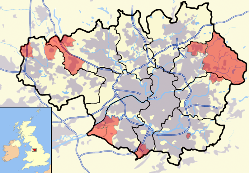
 A map of Greater Manchester, with its 15 parished areas highlighted in red.
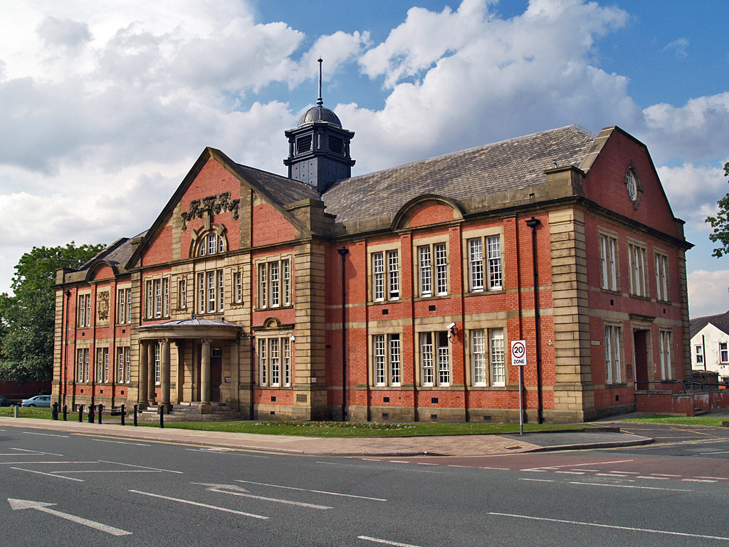
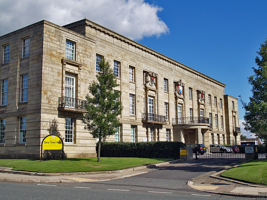
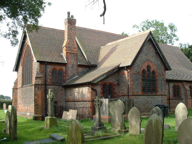
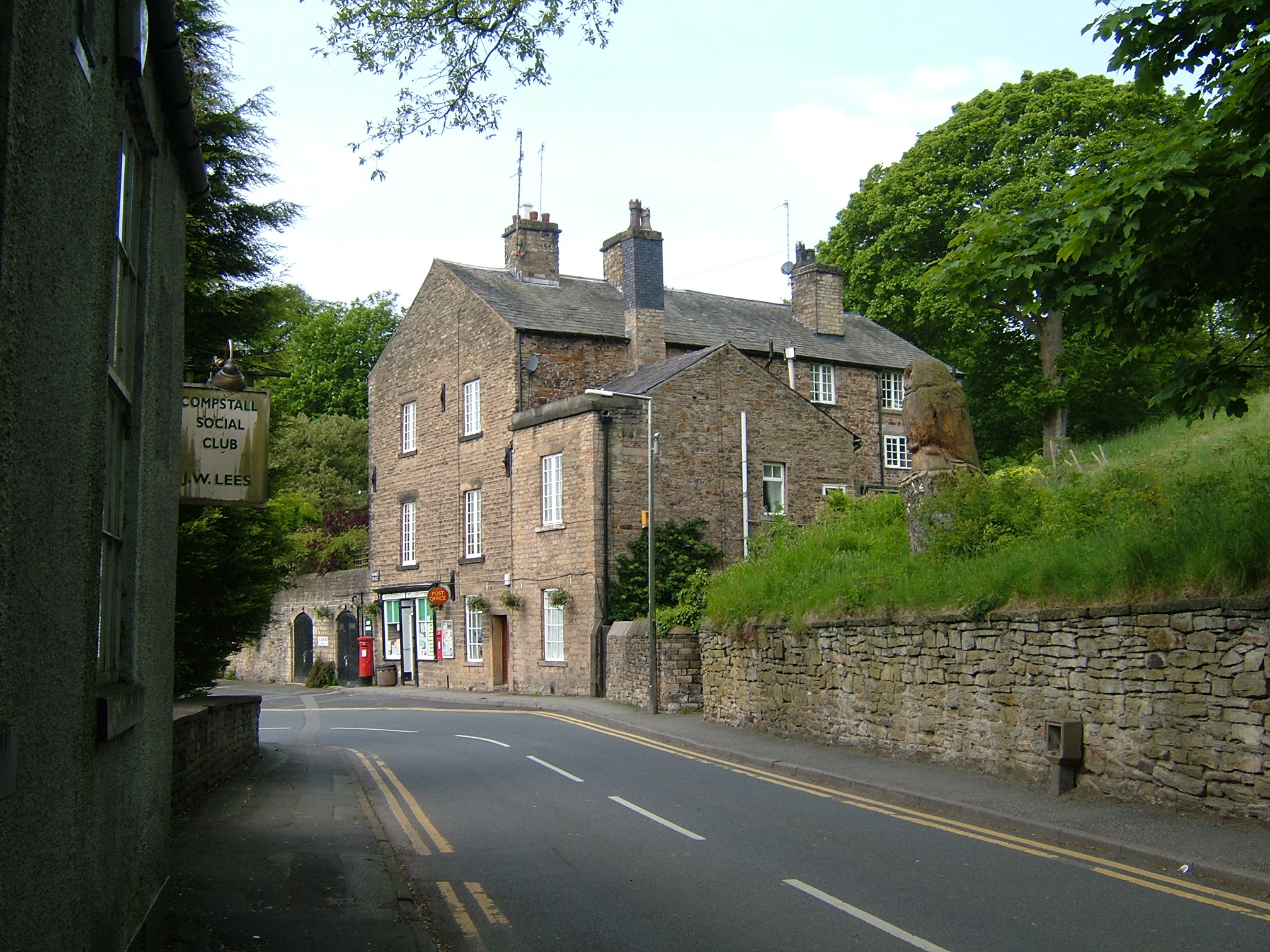
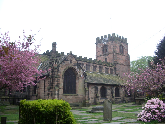
A civil parish is a subnational entity, forming the lowest unit of local government in England. There are 15 civil parishes in the ceremonial county of Greater Manchester, most of the county being unparished; Bury, Rochdale, and Salford are completely unparished. At the 2001 census, there were 129,325 people living in the 15 civil parishes, accounting for 5.2% of the county's population.
Contents
History
Parishes arose from Church of England divisions, and were originally purely ecclesiastical divisions. Over time they acquired civil administration powers.[1]
The Highways Act 1555 made parishes responsible for the upkeep of roads. Every adult inhabitant of the parish was obliged to work four days a year on the roads, providing their own tools, carts and horses; the work was overseen by an unpaid local appointee, the Surveyor of Highways.[2]
The poor were looked after by the monasteries, until their dissolution. In 1572, magistrates were given power to 'survey the poor' and impose taxes for their relief. This system was made more formal by the Poor Law Act 1601, which made parishes responsible for administering the Poor Law; overseers were appointed to charge a rate to support the poor of the parish.[3] The 19th century saw an increase in the responsibility of parishes, although the Poor Law powers were transferred to Poor Law Unions.[4] The Public Health Act 1872 grouped parishes into Rural Sanitary Districts, based on the Poor Law Unions; these subsequently formed the basis for Rural Districts.[5]
Parishes were run by vestries, meeting annually to appoint officials, and were generally identical to ecclesiastical parishes,[6] although some townships in large parishes administered the Poor Law themselves; under the Divided Parishes and Poor Law Amendment Act 1882, all extra-parochial areas and townships that levied a separate rate became independent civil parishes.[7]
Civil parishes in their modern sense date from the Local Government Act 1894, which abolished vestries; established elected parish councils in all rural parishes with more than 300 electors; grouped rural parishes into Rural Districts; and aligned parish boundaries with county and borough boundaries.[7] Urban civil parishes continued to exist, and were generally coterminous with the Urban District, Municipal Borough or County Borough in which they were situated; many large towns contained a number of parishes, and these were usually merged into one. Parish councils were not formed in urban areas, and the only function of the parish was to elect guardians to Poor Law Unions; with the abolition of the Poor Law system in 1930 the parishes had only a nominal existence.[8]
The Local Government Act 1972 retained civil parishes in rural areas, and many former Urban Districts and Municipal Boroughs that were being abolished, were replaced by new successor parishes; urban areas that were considered too large to be single parishes became unparished areas.[9]
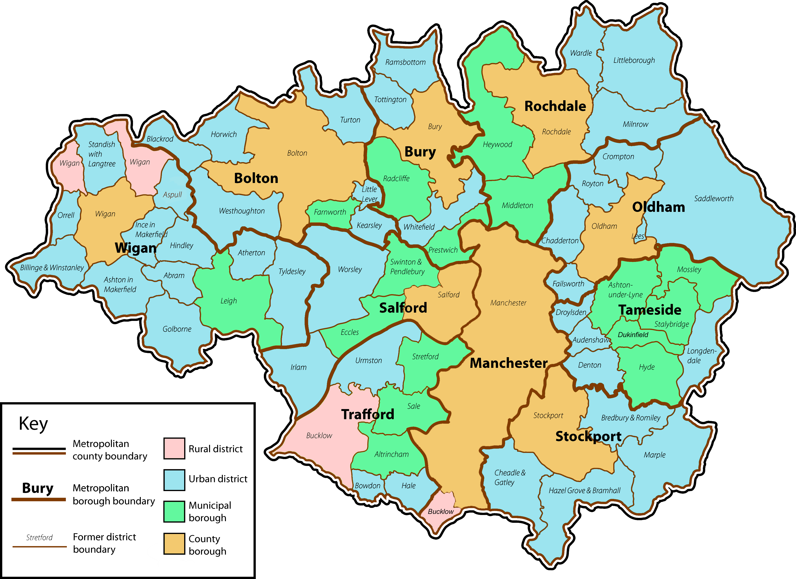
 Greater Manchester showing the former local authorities
The current position
Recent governments have encouraged the formation of town and parish councils in unparished areas, and the Local Government and Rating Act 1997 gave local residents the right to demand the creation of a new civil parish.[10]
A parish council can become a town council unilaterally, simply by resolution;[9] and a civil parish can also gain city status, but only if that is granted by the Crown.[9] The chairman of a town or city council is called a mayor.[9] The Local Government and Public Involvement in Health Act 2007 introduced alternative names: a parish council can now choose to be called a community; village; or neighbourhood council.[11]
Civil parishes with town statusList of civil parishes and unparished areas
See also
References
- ^ Angus Winchester, 2000, Discovering Parish Boundaries. Shire Publications. Princes Risborough, 96 pages ISBN 978-0747804703
- ^ RAC Foundation : What Went Wrong? British Highway Development Before Motorways Retrieved 2009-08-22
- ^ The Victorian Web : The Poor Law : Introduction Retrieved 2009-08-22
- ^ Staffordshire University : Poor Law Unions and Registration Districts Retrieved 2009-08-22
- ^ A Vision of Britain Through Time : Status Details for Rural Sanitary District Retrieved 2009-08-22
- ^ Robert Tittler, The Reformation and the Towns in England, 1998, Oxford University Press, 395 pages, ISBN 9780198207184
- ^ a b Modern British Surnames : Selected Events in the History of Civil Registration and Boundary Changes 1801-1996 Retrieved 2009-08-22
- ^ Alex MacMorran and T R Colquhoun Dill, The Local Government Act 1894 and the Subsequent Statutes Affecting Parish Councils, 1907, Butterworth and Co, London, 626 pages
- ^ a b c d Office of Public Sector Information : Local Government Act 1972 Retrieved 2009-08-22
- ^ Office of Public Sector Information : Local Government and Rating Act 1997 Retrieved 2009-08-22
- ^ Office of Public Sector Information : Local Government and Public Involvement in Health Act 2007 Retrieved 2009-08-22
- ^ A Vision of Britain Through Time : Blackrod Urban District Retrieved 2009-08-23
- ^ a b c Office for National Statistics : Census 2001 : Parish Headcounts : Bolton Retrieved 2009-08-24
- ^ A Vision of Britain Through Time : Bolton County Borough Retrieved 2009-08-23
- ^ Office for National Statistics : Census 2001 : Table KS01 : Usual Resident Population Astley Bridge; Blackrod (part); Bradshaw (part); Breightmet; Burnden; Central; Daubhill; Deane cum Heaton; Derby; Halliwell; Harper Green (part); Hulton Park (part); Little Lever (part); Smithills; and Tonge wards. Retrieved 2009-08-26
- ^ A Vision of Britain Through Time : Farnworth Municipal Borough Retrieved 2009-08-23
- ^ Office for National Statistics : Census 2001 : Table KS01 : Usual Resident Population Farnworth; Harper Green (part); and Kearsley (part) wards. Retrieved 2009-08-26
- ^ A Vision of Britain Through Time : Horwich Urban District Retrieved 2009-08-23
- ^ A Vision of Britain Through Time : Kearsley Urban District Retrieved 2009-08-23
- ^ Office for National Statistics : Census 2001 : Table KS01 : Usual Resident Population Kearsley (part) ward. Retrieved 2009-08-26
- ^ A Vision of Britain Through Time : Little Lever Urban District Retrieved 2009-08-23
- ^ Office for National Statistics : Census 2001 : Table KS01 : Usual Resident Population Little Lever (part) ward. Retrieved 2009-08-26
- ^ A Vision of Britain Through Time : Turton Urban District Retrieved 2009-08-23
- ^ Office for National Statistics : Census 2001 : Table KS01 : Usual Resident Population Bradshaw (part); and Bromley Cross wards. Retrieved 2009-08-26
- ^ A Vision of Britain Through Time : Westhoughton Urban District Retrieved 2009-08-23
- ^ A Vision of Britain Through Time : Bury County Borough Retrieved 2009-08-23
- ^ Office for National Statistics : Census 2001 : Table KS01 : Usual Resident Population Church; East; Elton; Moorside; Redvales; and Unsworth wards. Retrieved 2009-08-26
- ^ A Vision of Britain Through Time : Prestwich Municipal Borough Retrieved 2009-08-23
- ^ Office for National Statistics : Census 2001 : Table KS01 : Usual Resident Population Holyrood; Sedgley; and St Mary's wards. Retrieved 2009-08-26
- ^ a Vision of Britain Through Time : Radcliffe Municipal Borough Retrieved 2009-08-23
- ^ Office for National Statistics : Census 2001 : Table KS01 : Usual Resident Population Radcliffe Central; Radcliffe North; and Radcliffe South (part) wards. Retrieved 2009-08-26
- ^ A Vision of Britain Through Time : Ramsbottom Urban District Retrieved 2009-08-23
- ^ Office for National Statistics : Census 2001 : Table KS01 : Usual Resident Population Ramsbottom ward. Retrieved 2009-08-26
- ^ A Vision of Britain Through Time : Tottington Urban District Retrieved 2009-08-23
- ^ Office for National Statistics : Census 2001 : Table KS01 : Usual Resident Population Tottington ward. Retrieved 2009-08-26
- ^ A Vision of Britain Through Time : Whitefield Urban District Retrieved 2009-08-23
- ^ Office for National Statistics : Census 2001 : Table KS01 : Usual Resident Population Besses; Pilkington Park; and Radcliffe South (part) wards. Retrieved 2009-08-26
- ^ A Vision of Britain Through Time : Manchester County Borough Retrieved 2009-08-23
- ^ Office for National Statistics : Census 2001 : Table KS01 : Usual Resident Population Ardwick; Baguley; Barlow Moor; Benchill; Beswick and Clayton; Blackley; Bradford; Brooklands; Burnage; Central; Charlestown; Cheetham; Chorlton; Crumpsall; Didsbury; Fallowfield; Gorton North; Gorton South; Harpurhey; Hulme; Levenshulme; Lightbowne; Longsight; Moss Side; Newton Heath; Northenden; Old Moat; Rusholme; Sharston; Whalley Range; Withington; and Woodhouse Park (part) wards. Retrieved 2009-08-26
- ^ a b c d e A Vision of Britain Through Time : Bucklow Rural District Retrieved 2009-08-23
- ^ Office for National Statistics : Census 2001 : Parish Headcounts : Manchester Retrieved 2009-08-24
- ^ A Vision of Britain Through Time : Chadderton Urban District Retrieved 2009-08-23
- ^ Office for National Statistics : Census 2001 : Table KS01 : Usual Resident Population Chadderton Central; Chadderton North; and Chadderton South wards. Retrieved 2009-08-26
- ^ A Vision of Britain Through Time : Failsworth Urban District Retrieved 2009-08-23
- ^ Office for National Statistics : Census 2001 : Table KS01 : Usual Resident Population Failsworth East; and Failsworth West wards. Retrieved 2009-08-26
- ^ A Vision of Britain Through Time : Lees Urban District Retrieved 2009-08-23
- ^ Office for National Statistics : Census 2001 : Table KS01 : Usual Resident Population Lees (part) ward. Retrieved 2009-08-26
- ^ A Vision of Britain Through Time : Oldham County Borough Retrieved 2009-08-23
- ^ Office for National Statistics : Census 2001 : Table KS01 : Usual Resident Population Alexandra; Coldhurst; Hollinwood; Lees (part); St James'; St Mary's; St Pauls; Waterhead; and Werneth wards. Retrieved 2009-08-26
- ^ A Vision of Britain Through Time : Royton Urban District Retrieved 2009-08-23
- ^ Office for National Statistics : Census 2001 : Table KS01 : Usual Resident Population Royton North; and Royton South wards. Retrieved 2009-08-26
- ^ A Vision of Britain Through Time : Saddleworth Urban District Retrieved 2009-08-23
- ^ a b Office for National Statistics : Census 2001 : Parish Headcounts : Oldham Retrieved 2009-08-24
- ^ A Vision of Britain Through Time : Crompton Urban District Retrieved 2009-08-23
- ^ A Vision of Britain Through Time : Heywood Municipal Borough Retrieved 2009-08-23
- ^ Office for National Statistics : Census 2001 : Table KS01 : Usual Resident Population Heywood North; Heywood South; and Heywood West wards. Retrieved 2009-08-26
- ^ A Vision of Britain Through Time : Littleborough Urban District Retrieved 2009-08-23
- ^ a b Office for National Statistics : Census 2001 : Table KS01 : Usual Resident Population Littleborough (part); and Wardle (part) wards. Retrieved 2009-08-26
- ^ A Vision of Britain Through Time : Middleton Municipal Borough Retrieved 2009-08-23
- ^ Office for National Statistics : Census 2001 : Table KS01 : Usual Resident Population Middleton Central; Middleton East; Middleton North; Middleton South; and Middleton West wards. Retrieved 2009-08-26
- ^ A Vision of Britain Through Time : Milnrow Urban District Retrieved 2009-08-23
- ^ Office for National Statistics : Census 2001 : Table KS01 : Usual Resident Population Milnrow ward. Retrieved 2009-08-26
- ^ A Vision of Britain Through Time : Rochdale County Borough Retrieved 2009-08-23
- ^ Office for National Statistics : Census 2001 : Table KS01 : Usual Resident Population Balderstone; Brimrod and Deeplish; Castleton; Central and Falinge; Healey; Newbold; Norden and Bamford; Smallbridge and Wardleworth; and Spotland wards. Retrieved 2009-08-26
- ^ A Vision of Britain Through Time : Wardle Urban District Retrieved 2009-08-23
- ^ A Vision of Britain Through Time : Eccles Municipal Borough Retrieved 2009-08-23
- ^ Office for National Statistics : Census 2001 : Table KS01 : Usual Resident Population Barton; Eccles; and Winton wards. Retrieved 2009-08-26
- ^ A Vision of Britain Through Time : Irlam Urban District Retrieved 2009-08-23
- ^ Office for National Statistics : Census 2001 : Table KS01 : Usual Resident Population Cadishead; and Irlam wards. Retrieved 2009--08-26
- ^ A Vision of Britain Through Time : Salford County Borough Retrieved 2009-08-23
- ^ Office for National Statistics : Census 2001 : Table KS01 : Usual Resident Population Blackfriars; Broughton; Claremont; Kersal; Langworthy; Ordsall; Pendleton; and Weaste and Seedley wards. Retrieved 2009-08-26
- ^ A Vision of Britain Through Time : Swinton and Pendlebury Municipal Borough Retrieved 2009-08-23
- ^ Office for National Statistics : Census 2001 : Table KS01 : Usual Resident Population Pendlebury; Swinton North (part); Swinton South; and Worsley and Boothstown (part) wards. Retrieved 2009-08-26
- ^ A Vision of Britain Through Time : Worsley Urban District Retrieved 2009-08-23
- ^ Office for National Statistics : Census 2001 : Table KS01 : Usual Resident Population Little Hulton; Swinton North (part); Walkden North; Walkden South; and Worsley and Boothstown (part) wards. Retrieved 2009-08-26
- ^ A Vision of Britain Through Time : Bredbury and Romiley Urban District Retrieved 2009-08-23
- ^ Office for National Statistics : Census 2001 : Table KS01 : Usual Resident Population Bredbury; and Romiley wards. Retrieved 2009-08-26
- ^ A Vision of Britain Through Time : Cheadle and Gatley Urban District Retrieved 2009-08-23
- ^ Office for National Statistics : Census 2001 : Table KS01 : Usual Resident Population Cale Green (part); Cheadle; Cheadle Hulme North; Cheadle Hulme South; and Heald Green wards. Retrieved 2009-08-26
- ^ A Vision of Britain Through Time : Hazel Grove and Bramhall Urban District Retrieved 2009-08-23
- ^ Office for National Statistics : Census 2001 : Table KS01 : Usual Resident Population East Bramhall; Hazel Grove (part); and West Bramhall wards. Retrieved 2009-08-26
- ^ A Vision of Britain Through Time : Marple Urban District Retrieved 2009-08-23
- ^ Office for National Statistics : Census 2001 : Table KS01 : Usual Resident Population North Marple; and South Marple wards. Retrieved 2009-08-26
- ^ a b A Vision of Britain Through Time : Stockport County Borough Retrieved 2009-08-23
- ^ Department for Communities and Local Government : Bulletin of Changes to Local Authority Electoral Arrangements, Areas and Names in England : District Council Notices of the Change of Name of a Parish Retrieved 2009-08-23
- ^ Office for National Statistics : Census 2001 : Parish Headcounts : Stockport Retrieved 2009-08-24
- ^ Office for National Statistics : Census 2001 : Table KS01 : Usual Resident Population Brinnington; Cale Green (part); Davenport; Edgeley; Great Moor (part); Hazel Grove (part); Heaton Mersey; Heaton Moor; Manor; North Reddish; and South Reddish wards. Retrieved 2009-08-26
- ^ A Vision of Britain Through Time : Ashton under Lyne Municipal Borough Retrieved 2009-08-23
- ^ Office for National Statistics : Census 2001 : Table KS01 : Usual Resident Population Ashton Hurst; Ashton St Michael's; Ashton St Peter's; and Ashton Waterloo wards. Retrieved 2009-08-26
- ^ A Vision of Britain Through Time : Audenshaw Urban District Retrieved 2009-08-23
- ^ Office for National Statistics : Census 2001 : Table KS01 : Usual Resident Population Audenshaw ward. Retrieved 2009-08-26
- ^ A Vision of Britain Through Time : Denton Urban District Retrieved 2009-08-23
- ^ Office for National Statistics : Census 2001 : Table KS01 : Usual Resident Population Denton North East; Denton South; and Denton West wards. Retrieved 2009-08-26
- ^ A Vision of Britain Through Time : Droylsden Urban District Retrieved 2009-08-23
- ^ Office for National Statistics : Census 2001 : Table KS01 : Usual Resident Population Droylsden East; and Droylsden West wards. Retrieved 2009-08-26
- ^ A Vision of Britain Through Time : Dukinfield Municipal Borough Retrieved 2009-08-23
- ^ Office for National Statistics : Census 2001 : Table KS01 : Usual Resident Population Dukinfield; and Dukinfield Stalybridge (part) wards. Retrieved 2009-08-26
- ^ A Vision of Britain Through Time : Hyde Municipal Borough Retrieved 2009-08-23
- ^ Office for National Statistics : Census 2001 : Table KS01 : Usual Resident Population Hyde Godley; Hyde Newton; and Hyde Werneth wards. Retrieved 2009-08-26
- ^ A Vision of Britain Through Time : Longdendale Urban District Retrieved 2009-08-23
- ^ Office for National Statistics : Census 2001 : Table KS01 : Usual Resident Population Longdendale ward. Retrieved 2009-08-26
- ^ A Vision of Britain Through Time : Mossley Municipal Borough Retrieved 2009-08-23
- ^ Office for National Statistics : Census 2001 : Parish Headcounts : Tameside Retrieved 2009-08-24
- ^ A Vision of Britain Through Time : Stalybridge Municipal Borough Retrieved 2009-08-23
- ^ Office for National Statistics : Census 2001 : Table KS01 : Usual Resident Population Dukinfield Stalybridge (part); Stalybridge North; and Stalybridge South wards. Retrieved 2009-08-26
- ^ A Vision of Britain Through Time : Altrincham Municipal Borough Retrieved 2009-08-23
- ^ Office for National Statistics : Census 2001 : Table KS01 : Usual Resident Population Altrincham; Broadheath (part); Timperley; and Village (part) wards. Retrieved 2009-08-26
- ^ A Vision of Britain Through Time : Bowdon Urban District Retrieved 2009-08-23
- ^ Office for National Statistics : Census 2001 : Table KS01 : Usual Resident Population Bowdon (part) ward. Retrieved 2009-08-26
- ^ a b c d Office for National Statistics : Census 2001 : Parish Headcounts : Trafford Retrieved 2009-08-24
- ^ A Vision of Britain Through Time : Hale Urban District Retrieved 2009-08-23
- ^ Office for National Statistics : Census 2001 : Table KS01 : Usual Resident Population Bowdon (part); and Hale wards. Retrieved 2009-08-26
- ^ A Vision of Britain Through Time : Sale Municipal Borough Retrieved 2009-08-23
- ^ Office for National Statistics : Census 2001 : Table KS01 : Usual Resident Population Broadheath (part); Brooklands; Mersey St Mary's; Priory; Sale Moor; St Martin's; and Village (part) wards. Retrieved 2009-08-26
- ^ A Vision of Britain Through Time : Stretford Municipal Borough Retrieved 2009-08-23
- ^ Office for National Statistics : Census 2001 : Table KS01 : Usual Resident Population Clifford; Longford; Park (part); Stretford (part); and Talbot wards. Retrieved 2009-08-26
- ^ A Vision of Britain Through Time : Urmston Urban District Retrieved 2009-08-23
- ^ Office for National Statistics : Census 2001 : Table KS01 : Usual Resident Population Davyhulme East; Davyhulme West; Flixton; Park (part); Stretford (part); and Urmston wards. Retrieved 2009-08-26
- ^ A Vision of Britain Through Time : Abram Urban District Retrieved 2009-08-23
- ^ Office for National Statistics : Census 2001 : Table KS01 : Usual Resident Population Abram; and Leigh Central (part) wards. Retrieved 2009-08-26
- ^ A Vision of Britain Through Time : Ashton in Makerfield Urban District Retrieved 2009-08-23
- ^ Office for National Statistics : Census 2001 : Table KS01 : Usual Resident Population Ashton-Golborne (part); Bryn; and Orrell (part) wards. Retrieved 2009-08-26
- ^ A Vision of Britain Through Time : Aspull Urban District Retrieved 2009-08-23
- ^ Office for National Statistics : Census 2001 : Table KS01 : Usual Resident Population Aspull-Standish (part) ward. Retrieved 2009-08-26
- ^ A Vision of Britain Through Time : Atherton Urban District Retrieved 2009-08-23
- ^ Office for National Statistics : Census 2001 : Table KS01 : Usual Resident Population Atherton; and Hindsford (part) wards. Retrieved 2009-08-26
- ^ A Vision of Britain Through Time : Billinge and Winstanley Urban District Retrieved 2009-08-23
- ^ a b Office for National Statistics : Census 2001 : Table KS01 : Usual Resident Population Orrell (part) and Winstanley (part) wards. Retrieved 2009-08-26
- ^ A Vision of Britain Through Time : Golborne Urban District Retrieved 2009-08-23
- ^ Office for National Statistics : Census 2001 : Table KS01 : Usual Resident Population Ashton-Golborne (part); Hope Carr (part); and Lightshaw wards. Retrieved 2009-08-26
- ^ a b c A Vision of Britain Through Time : Wigan Rural District Retrieved 2009-08-23
- ^ a b c Office for National Statistics : Census 2001 : Parish Headcounts : Wigan Retrieved 2009-08-24
- ^ a Vision of Britain Through Time : Hindley Urban District Retrieved 2009-08-23
- ^ Office for National Statistics : Census 2001 : Table KS01 : Usual Resident Population Hindley; and Hindley Green (part) wards. Retrieved 2009-08-26
- ^ A Vision of Britain Through Time : Ince in Makerfield Urban District Retrieved 2009-08-23
- ^ Office for National Statistics : Census 2001 : Table KS01 : Usual Resident Population Ince ward. Retrieved 2009-08-26
- ^ A Vision of Britain Through Time : Leigh Municipal Borough Retrieved 2009-08-23
- ^ Office for National Statistics : Census 2001 : Table KS01 : Usual Resident Population Bedford-Astley (part); Hindley Green (part); Hope Carr (part); Leigh Central (part); and Leigh East wards. Retrieved 2009-08-26
- ^ A Vision of Britain Through Time : Orrell Urban District Retrieved 2009-08-23
- ^ A Vision of Britain Through Time : Standish with Langtree Urban District Retrieved 2009-08-23
- ^ Office for National Statistics : Census 2001 : Table KS01 : Usual Resident Population Aspull-Standish (part); and Langtree wards. Retrieved 2009-08-26
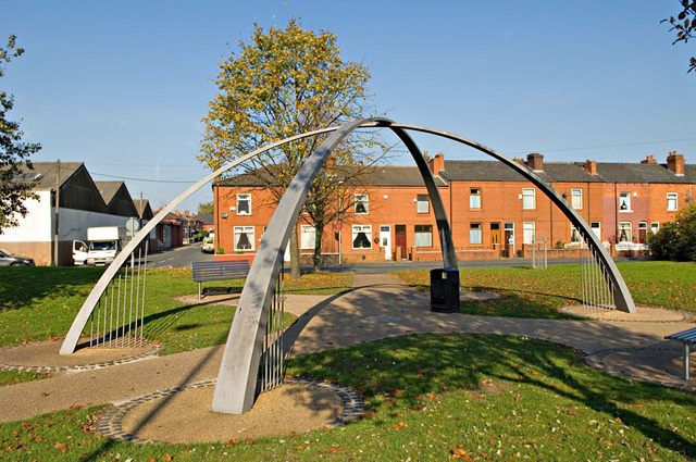
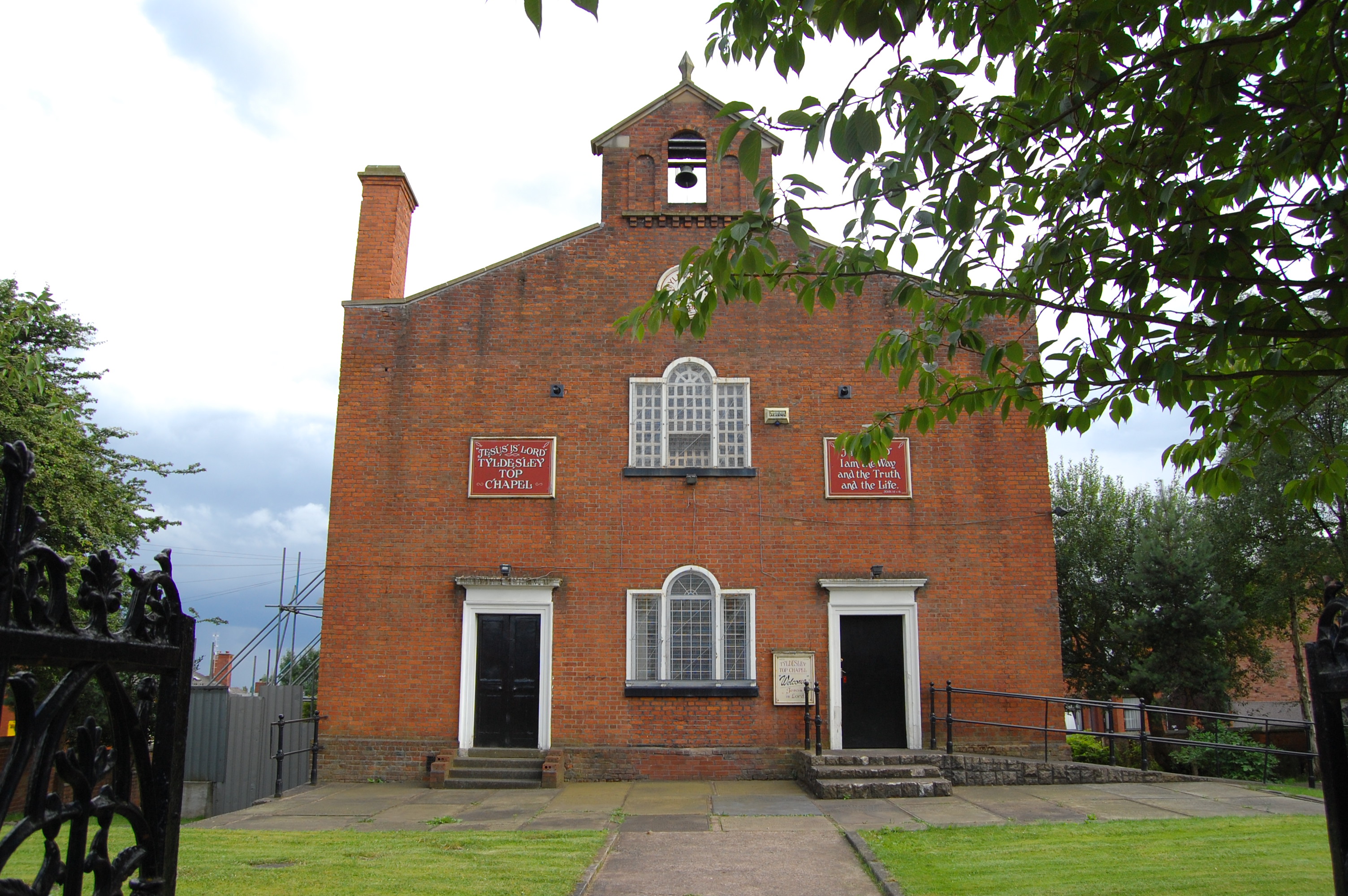
- ^ A Vision of Britain Through Time : Tyldesley Urban District Retrieved 2009-08-23
- ^ Office for National Statistics : Census 2001 : Table KS01 : Usual Resident Population Bedford-Astley (part); Hindsford (part); and Tyldesley East wards. Retrieved 2009-08-26
- ^ A Vision of Britain Through Time : Wigan County Borough Retrieved 2009-08-23
- ^ Office for National Statistics : Census 2001 : Table KS01 : Usual Resident Population Beech Hill; Newtown; Norley; Swinley; Whelley; Winstanley (part); and Worsley Mesnes wards. Retrieved 2009-08-26
External links
- Office for National Statistics : Geographical Area Listings
- Bolton Metropolitan Borough Council : Parish and Town Councils
- Stockport Metropolitan Borough Council : Parish Councils
- Wigan Metropolitan Borough Council : Parish Elections
Civil parishes in England Administration Legislation Lists by county Bedfordshire • Berkshire • Bristol • Buckinghamshire • Cambridgeshire • Cheshire • Cornwall • Cumbria • Derbyshire • Devon • Dorset • Durham • East Riding of Yorkshire • East Sussex • Essex • Gloucestershire • Greater Manchester • Hampshire • Herefordshire • Hertfordshire • Isle of Wight • Kent • Lancashire • Leicestershire • Lincolnshire • Merseyside • Norfolk • Northamptonshire • Northumberland • North Yorkshire • Nottinghamshire • Oxfordshire • Rutland • Shropshire • Somerset • South Yorkshire • Staffordshire • Suffolk • Surrey • Tyne and Wear • Warwickshire • West Midlands • West Sussex • West Yorkshire • Wiltshire • Worcestershire
Categories:- Geography of Greater Manchester
- Lists of civil parishes in England
- Civil parishes in Greater Manchester


Wikimedia Foundation. 2010.