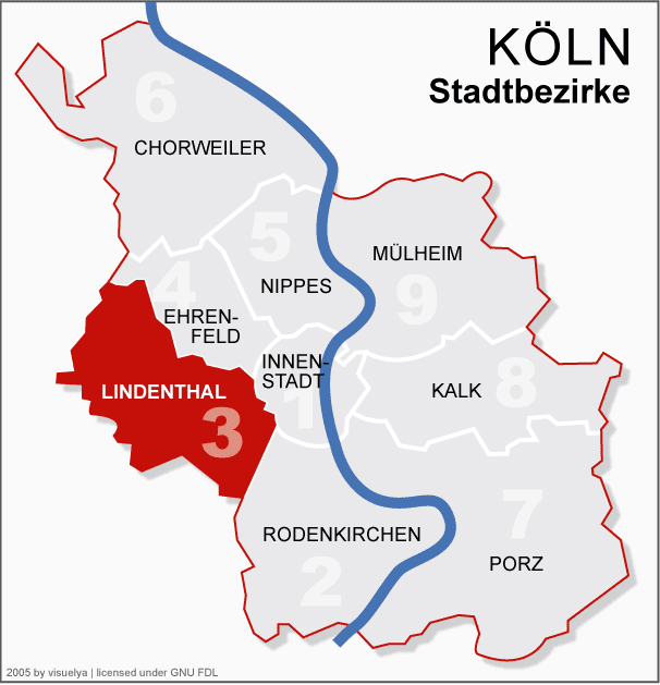
- Districts of Cologne
-
History
Culture
Mayors
Demographics
Districts
TransportSince the last administrative reform in 1975, the City of Cologne is made up of nine Stadtbezirke and 86 Stadtteile. Stadtbezirk literally translates as city district, which are further subdivided into Stadtteile (city parts). The Stadtteile of Cologne's old and new town (Alt- and Neustadt) further consist of quarters, known as "Veedel" in the Kölsch dialect.
City districts are differentiated of being links- or rechtsrheinisch – left or right of the Rhine, with the old town being left of the Rhine, as are 230,25 km² (56.8 percent of 405,14 km² within city limits), while 174,87 km² (43.2 percent) lie right of the Rhine. In regards to population, Cologne is the largest city in the state of North Rhine-Westphalia and the fourth largest city in Germany.
Contents
Districts
Map Coat City district City parts Area Population1 Pop. density District Councils Town Hall 

1st district Köln-Innenstadt Altstadt-Nord, Altstadt-Süd, Deutz, Neustadt-Nord, Neustadt-Süd 16.4 km² 127.033 7.746/km² Bezirksksamt Innenstadt
Brückenstraße 19,
D-50667 Köln


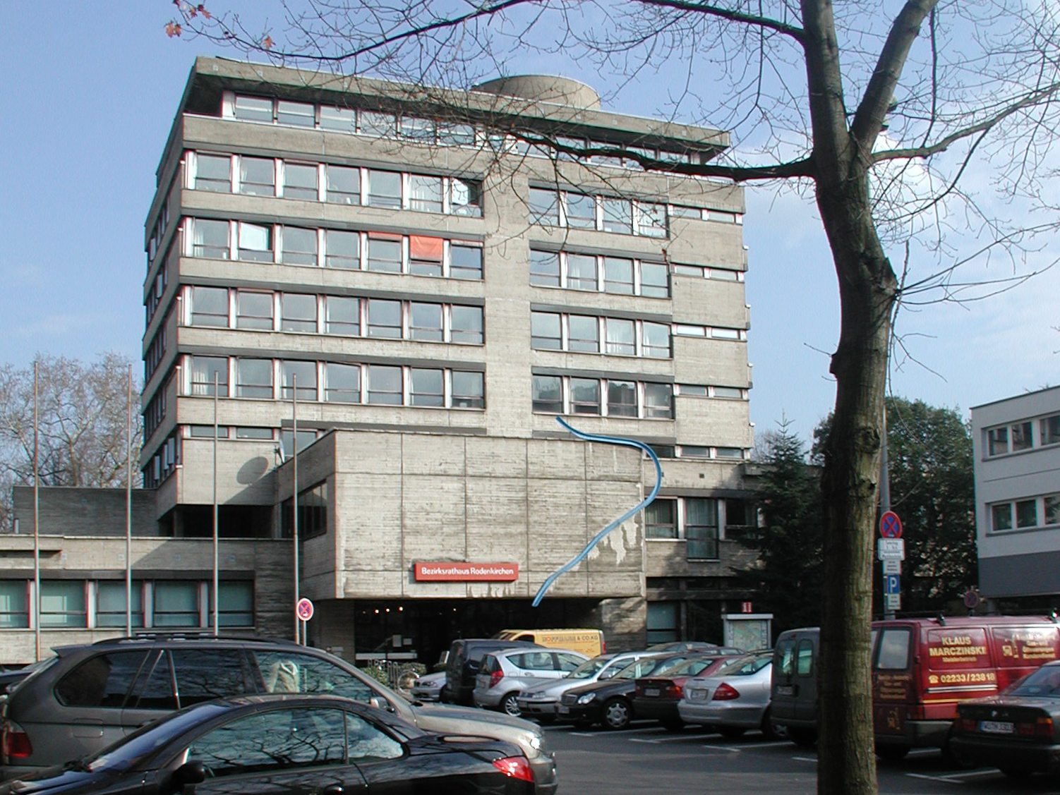
2nd district Köln-Rodenkirchen Bayenthal, Godorf, Hahnwald, Immendorf, Marienburg, Meschenich, Raderberg, Raderthal, Rodenkirchen, Rondorf, Sürth, Weiß, Zollstock 54.6 km² 100.936 1.850/km² Bezirksamt Rodenkirchen
Hauptstraße 85,
D-50996 Köln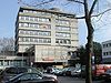

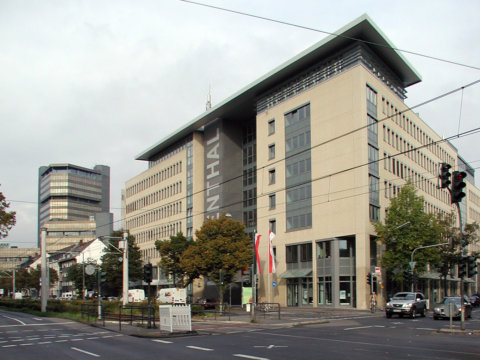
3rd district Köln-Lindenthal Braunsfeld, Junkersdorf, Klettenberg, Lindenthal, Lövenich, Müngersdorf, Sülz, Weiden, Widdersdorf 41.6 km² 137.552 3.308/km² Bezirksamt Lindenthal
Aachener Straße 220,
50931 Köln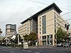


4th district Köln-Ehrenfeld Bickendorf, Bocklemünd/Mengenich, Ehrenfeld, Neuehrenfeld, Ossendorf, Vogelsang 23.8 km² 103.621 4.348/km² Bezirksamt Ehrenfeld
Venloer Straße 419 – 421,
D-50825 Köln
5th district Köln-Nippes Bilderstöckchen, Longerich, Mauenheim, Niehl, Nippes, Riehl, Weidenpesch 31.8 km² 110.092 3.462/km² Bezirksamt Nippes
Neusser Straße 450,
D-50733 Köln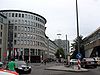

6th district Köln-Chorweiler Blumenberg, Chorweiler, Esch/Auweiler, Fühlingen, Heimersdorf, Lindweiler, Merkenich, Pesch, Roggendorf/Thenhoven, Seeberg, Volkhoven/Weiler, Worringen 67.2 km² 80.870 1.204/km² Bezirksamt Chorweiler
Pariser Platz 1,
D-50765 Köln

7th district Köln-Porz Eil, Elsdorf, Ensen, Finkenberg, Gremberghoven, Grengel, Langel, Libur, Lind, Poll, Porz, Urbach, Wahn, Wahnheide, Westhoven, Zündorf 78.8 km² 106.520 1.352/km² Bezirksamt Porz
Friedrich-Ebert-Ufer 64–70,
D-51143 Köln


8th district Köln-Kalk Brück, Höhenberg, Humboldt/Gremberg, Kalk, Merheim, Neubrück, Ostheim, Rath/Heumar, Vingst 38.2 km² 108.330 2.841/km² Bezirksamt Kalk
Kalker Hauptstraße 247–273,
D-51103 Köln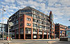


9th district Köln-Mülheim Buchforst, Buchheim, Dellbrück, Dünnwald, Flittard, Höhenhaus, Holweide, Mülheim, Stammheim 52.2 km² 144.374 2.764/km² Bezirksamt Mülheim
Wiener Platz 2a,
D-51065 Köln
Cologne 405.15 km² 1.019.3282 2.516/km² Notes:
1: population as of 31. December 2008
2: Statistical records of the City of Cologne include "second home residents", which state records exclude. Cologne's population as by statistical records of the State of North Rhine-Westphalia was 1,000,298 on 31. May 2009[1]Growth of urban area
See also: Population growth of Cologne map of the nine Stadtbezirke (city districts) and 86 Stadtteile (city parts) of Cologne
 map of Cologne, 1633
Since the city's foundation in 38 BC, Cologne grew through numerous extensions and incorporation of surrounding municipalities. Since the construction of the Medieval wall in 1180, the area of the old imperial city of Cologne has not changed for more than 600 years and was only extended over the old city walls in 1794, just short before the arrival of French troops and Cologne's incorporation into the First French Empire.
After 1815, the Kingdom of Prussia enforced the construction of fortifications which again hindered any growth for the city. Only with the acquisition of these fortifications in 1881, the city of Cologne had the possibility of a gradual territorial expansion. On 12. November 1883 a strip of territory from parts of the municipalities of Ehrenfeld, Kriel, Longerich, Müngersdorf and Rondorf was added to the city. At the time of the industrial revolution, industrial enterprises already avoided the densely populated areas inside of the city limits and settled in the small towns outside the fortified area, while maintaining close economic links to the city of Cologne. More than half of the estates here were in the hands of citizens of Cologne or the same becoming residents in these areas.
Since 1886, the Cologne City Council intensified negotiations with the surrounding communities, and on 1 April 1888 ended in a first major incorporation. Since then the city has expanded with major reorganizations in 1910, 1914, 1922 and 1975.
Date Incorporated localities 1 April 1888 town of Deutz; town of Ehrenfeld and present day Neu-Ehrenfeld; part of the town of Kalk; parts of the town of Mülheim (Mülheimer Hafen); parts of the muni. of Efferen (present day Klettenberg); muni. of Kriel (Braunsfeld, Kriel, Lind, Lindenthal, Sülz); muni. of Longerich (Butzweiler, Heimersdorf, Lindweiler, Longerich, Niehl, Stallagsberg, Volkhoven, Weidenpesch; muni. of Müngersdorf (Bickendorf, Bocklemünd, Melaten, Mengenich, Müngersdorf, Ossendorf, Vogelsang); muni. of Nippes (Mauenheim, Nippes, Riehl); muni. of Poll (Humboldt-Gremberg, Poll); parts of muni. of Rondorf (Arnoldshöhe, Bayenthal, Klettenberg, Mansfeld, Marienburg, Raderberg, Raderthal, Weißhaus, Zollstock) 1 April 1910 Höhenberg; Humboldt-Gremberg; town of Kalk; Ostheim; muni. of Vingst 1 April 1914 town of Mülheim (incl. Buchforst, Buchheim, Kleinbert); from Landkreis Mülheim: Bürgermeisterei Merheim (Brück, Dellbrück, Dünnwald, Flittard, Hardt, Höhenberg, Höhenhaus, Holweide, Kunstfeld, Merheim, Ostheim, Rath, Rodderhof, Scheuerhof, Schlagbaum, Stammheim) 1 April 1922 parts of Landgemeinde Worringen: Fühlingen (incl. Feldkassel, Kasselberg, Langel, Rheinkassel), Merkenich, Roggendorf, Thenhoven, Weiler, Worringen; parts of the muni. of Longerich 1 January 1975 town of Porz (Eil, Elsdorf, Ensen, Flughafen, Gremberghoven, Grengel, Heumar, Langel, Libur, Lind, Porz, Urbach, Wahn, Wahn-Heide, Westhoven, Zündorf); parts of the muni. of Brauweiler (Rath, Gut Vogelsang, Widdersdorf); parts of the town of Frechen (Horbell, Marsdorf); parts of the muni. of Lövenich; muni. of Rodenkirchen (Giesdorf, Godorf, Hahnwald, Hochkirchen, Höningen, Immendorf, Konraderhöhe, Meschenich, Rodenkirchen, Rondorf, Sürth, Weiß); parts of muni. of Sinnersdorf (Auweiler, Esch, Pesch, Gut Stöckheim); parts of the town of Brühl; parts of the munis. of Bornheim, Hürth, Pulheim and Rösrath. Source: Historical Archive of the City of Cologne[2]
References
- ^ http://www.it.nrw.de/statistik/a/daten/amtlichebevoelkerungszahlen/rp3_juni09.html IT NRW (German)
- ^ Allgemeine Informationen zur Kölner Stadtgeschichte, Teil 4 (Vororte) (German)
External links
- Official site of the Stadtbezirke (German)
Districts of Cologne I. Innenstadt · II. Rodenkirchen · III. Lindenthal · IV. Ehrenfeld · V. Nippes · VI. Chorweiler · VII. Porz · VIII. Kalk · IX. Mülheim Categories:
- Boroughs and quarters of Cologne
- City districts
- Cologne-related lists


Wikimedia Foundation. 2010.