- Connolly Drive
-
Connolly Drive 
Connolly Drive's missing link between Kinross and Clarkson which opened August 2007. Length 15 km (9 mi) Direction North-South From Shenton Avenue, Currambine Major suburbs Kinross, Tamala Park, Clarkson, Merriwa, Ridgewood To Benenden Avenue, Butler Major junctions Moore Drive
 Burns Beach Road
Selkirk Drive
Neerabup Road
Hester Avenue
Lukin DriveConnolly Drive is a minor arterial road in the outer northern suburbs of Perth, Western Australia. The road takes its name from the Perth suburb of Connolly, which lies just beyond the road's terminus.
The road extends northerly from Shenton Avenue in Currambine, west of Joondalup's central business district, to the outer suburb of Butler. Connolly Drive runs parallel with the busier Marmion Avenue and eases its traffic flow past the end of the Mitchell Freeway at Burns Beach Road.[1]
For the first 6 kilometres (3.7 mi) of its length, Connolly Drive is a dual carriageway. It reverts to a single-lane carriageway at Clarkson, at the roundabout with Neerabup Road. The speed limit varies at different points in its length, but never exceeds 70km/h.
Connolly Drive was exclusively a single-lane carriageway for many years until recent developments in 2007, 2010 and 2011 to upgrade the road in conjunction with the northern extension of the Mitchell Freeway. There are currently plans for Connolly Drive to be extended further north to the outer suburb of Yanchep, with the Joondalup railway line running through the median section of the road.
Intersections
A number of major intersections cross the road at various points. The most significant intersections are with Shenton Avenue, Burns Beach Road and Hester Avenue. [2]. Most are controlled by roundabouts, but the following junctions are controlled by traffic lights:
- Shenton Avenue, Currambine
- Selkirk Drive, Kinross
- Lukin Drive, Butler
References
- ^ MAIN ROADS - Urban Projects - Mitchell Freeway.
- ^ UBD 2007 Perth and surrounds Street Directory 2007 - 49th Edition.
Gallery
-
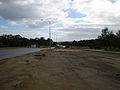
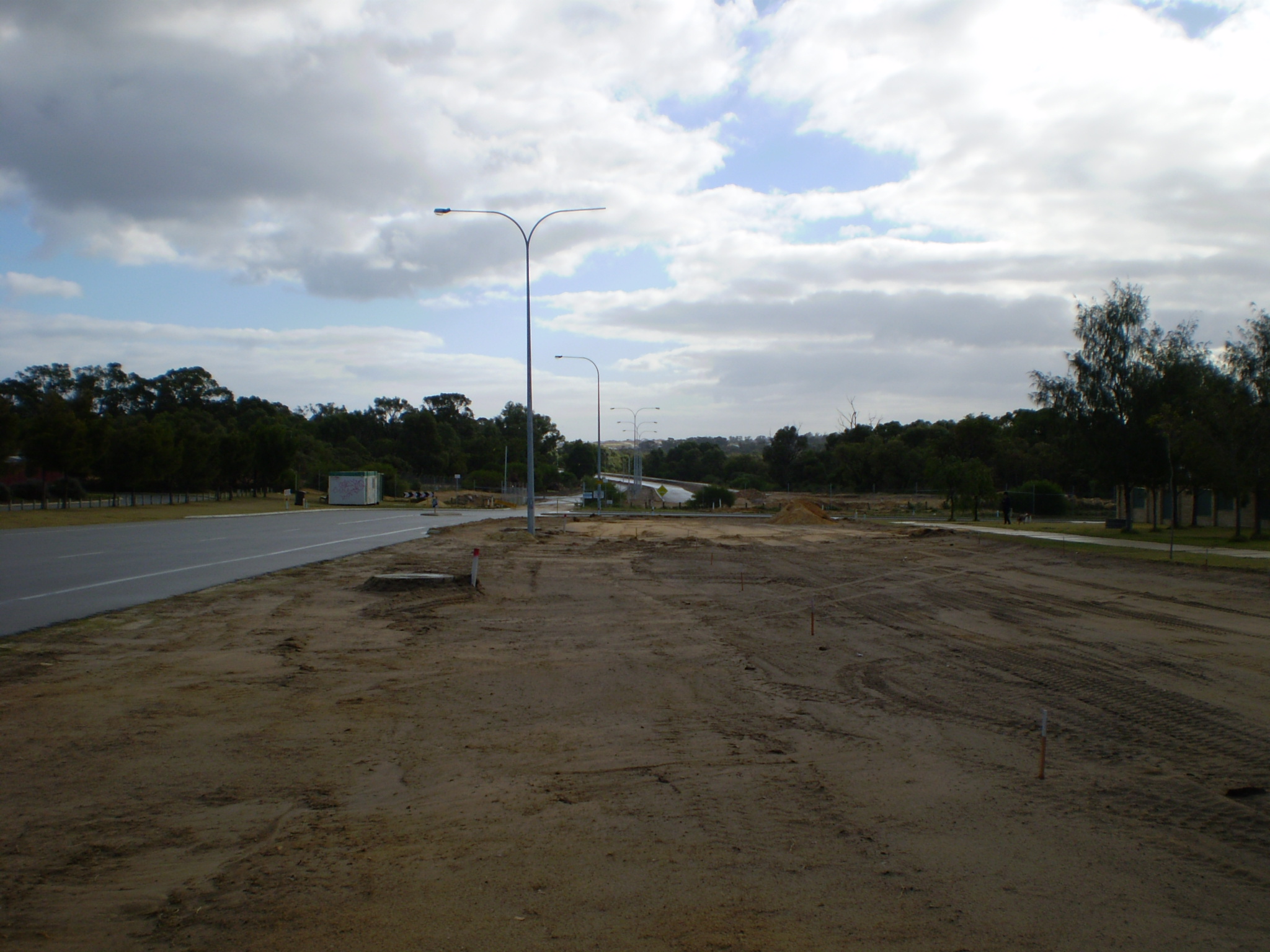
Connolly Drive Kinross - being extended into Tamala Park and on up to Clarkson (June 2007).
-

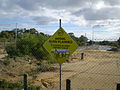
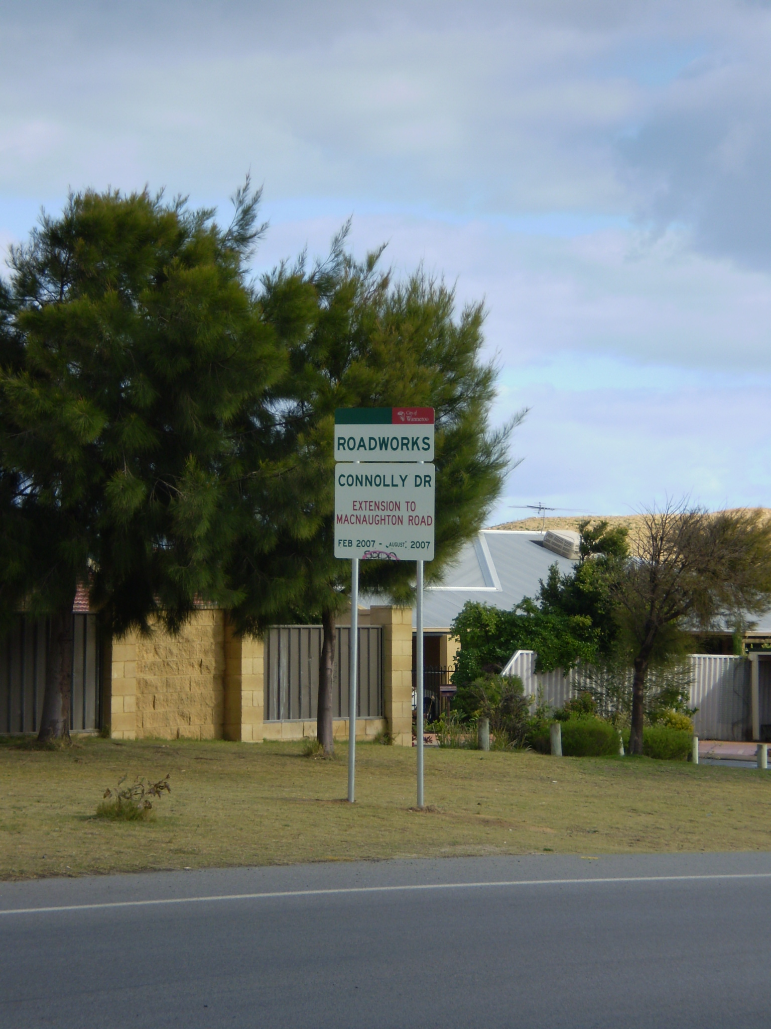
Sign showing widening of Connolly Drive up to McNaughton Crescent - Kinross (June 2007).
-
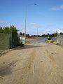
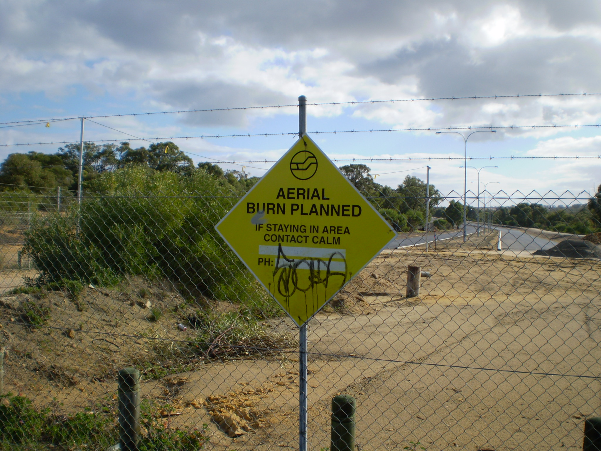
Connolly Drive Kinross - being extended "Aerial burn planned" sign (June 2007).
-
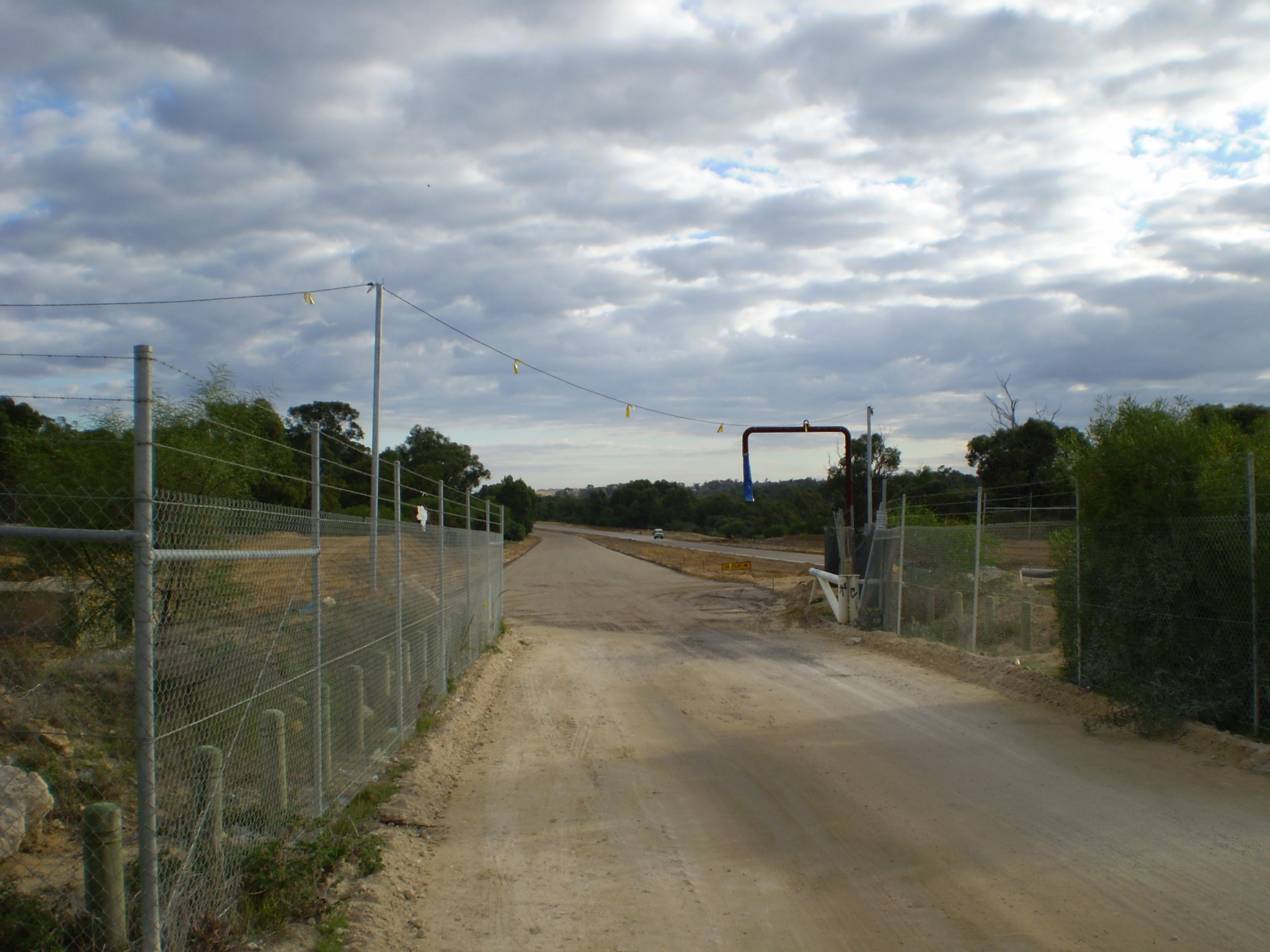
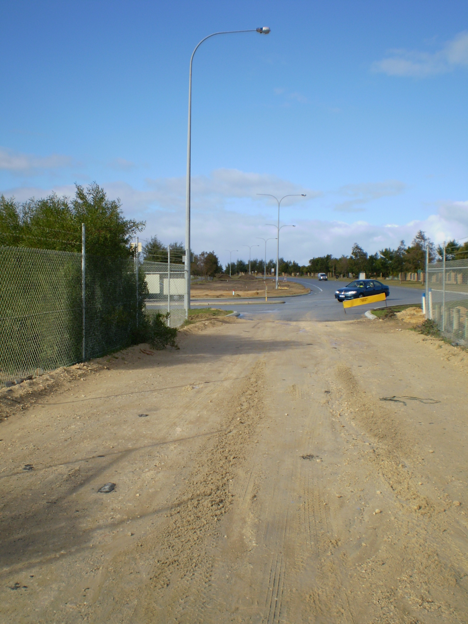
Connolly Drive Kinross - looking south to the widening works (June 2007).
Categories:- Roads in Perth, Western Australia
- Western Australia road stubs
Wikimedia Foundation. 2010.