- Constableville Village Historic District
-
Constableville Village Historic District
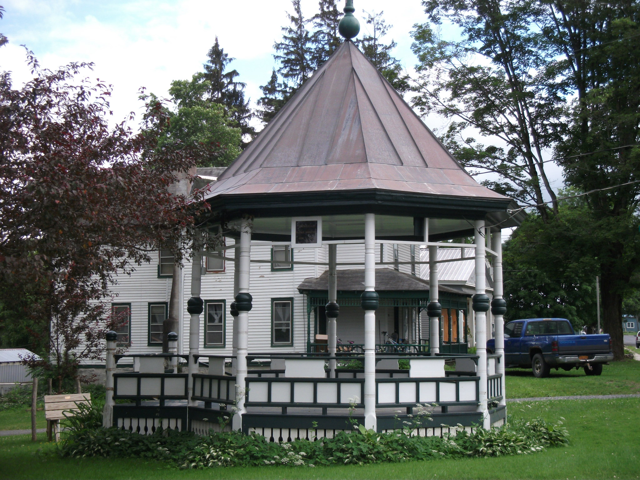
 Constableville Village Historic District, June 2011

Location: Roughly bounded by Sugar River, Main, N. Main, W. Main, Church, High, West and James Sts., Constableville, New York Coordinates: 43°33′51″N 75°25′50″W / 43.56417°N 75.43056°WCoordinates: 43°33′51″N 75°25′50″W / 43.56417°N 75.43056°W Area: 59.4 acres (24.0 ha) Built: 1828 Architect: Multiple Architectural style: Late Victorian Governing body: Private NRHP Reference#: 83001703[1] Added to NRHP: September 15, 1983 Constableville Village Historic District is a national historic district located at Constableville in Lewis County, New York. The district includes 105 contributing buildings, one contributing structure, and one contributing site. The buildings are commercial, residential, civic, and church structures built primarily between about 1828 and 1900. Also included are a rural cemetery dating from the late 19th century , one historic bridge, and an early 20th century school.[2]
It was listed on the National Register of Historic Places in 1983.[1]
References
- ^ a b "National Register Information System". National Register of Historic Places. National Park Service. 2009-03-13. http://nrhp.focus.nps.gov/natreg/docs/All_Data.html.
- ^ John F. Harwood (August 1983). "National Register of Historic Places Registration: Constableville Village Historic District". New York State Office of Parks, Recreation and Historic Preservation. http://www.oprhp.state.ny.us/hpimaging/hp_view.asp?GroupView=3685. Retrieved 2009-12-10. See also: "Accompanying 19 photos". http://www.oprhp.state.ny.us/hpimaging/hp_view.asp?GroupView=3686.
Categories:- Historic districts in New York
- National Register of Historic Places in New York
- Buildings and structures in Lewis County, New York
- Adirondack Mountains, New York Registered Historic Place stubs


Wikimedia Foundation. 2010.