- County Route 168 (Sullivan County, New York)
-
County Route 168

Route information Length: 0.88 mi[1] (1.42 km) Existed: by 1994 – present Major junctions West end: Pennsylvania state line at Minisink Ford (near PA 590)  NY 97 in Minisink Ford
East end: Minisink Battleground County Park in Minisink Ford Highway system Numbered highways in New York
Interstate • U.S. • N.Y. (former) • Reference • County (Sullivan)County Route 168 (CR 168) in Sullivan County, New York is a short county-maintained route in the community of Minisink Ford. The highway runs under three names, Roebling's Delaware Aqueduct (a bridge maintained by the National Park Service), Minisink Ford Road and Minisink Battleground Road. The highway begins at the Pennsylvania state line on Roebling's Delaware Aqueduct and intersects with NY 97 in Minisink Ford. The highway has a short concurrency with NY 97 before turning off to the east along Minisink Battleground Road, ending at the Minisink Battleground County Park and York Lake Road.
Contents
Route description
 Sullivan CR 168 heading up the hill to Minisink Battleground County Park
County Route 168 begins at the Pennsylvania–New York state line on Roebling Aqueduct (which crosses the Delaware River). The route heads eastward along the aqueduct as Minisink Ford Road, passing an unmanned toll booth at its end. The highway continues eastward, intersecting with NY 97, also known as the Upper Delaware Scenic Byway. There is a short concurrency, with County Route 168 turning southbound along NY 97. This changes just south of the toll booth, when CR 168 turns to the east on Minisink Battleground Road.[1]
After NY 97, County Route 168 turns to the east, up a hill of trees in the Delaware River valley, where it intersects with an old alignment extension of Minisink Ford Road. After Old Minisink Ford Road, the highway passes a few residences. Past the residential area, Route 168 turns to the northeast, passing through woodlands and intersecting with Zane Grey Road, a gated highway to the north. The alignment of the highway straightens after Zane Grey, entering the Minisink Battleground County Park. The highway ends at a gate to the county park and an intersection with York Lake Road. The right-of-way for CR 168 continues a short distance past the gate, ending in the woods.[1]
History
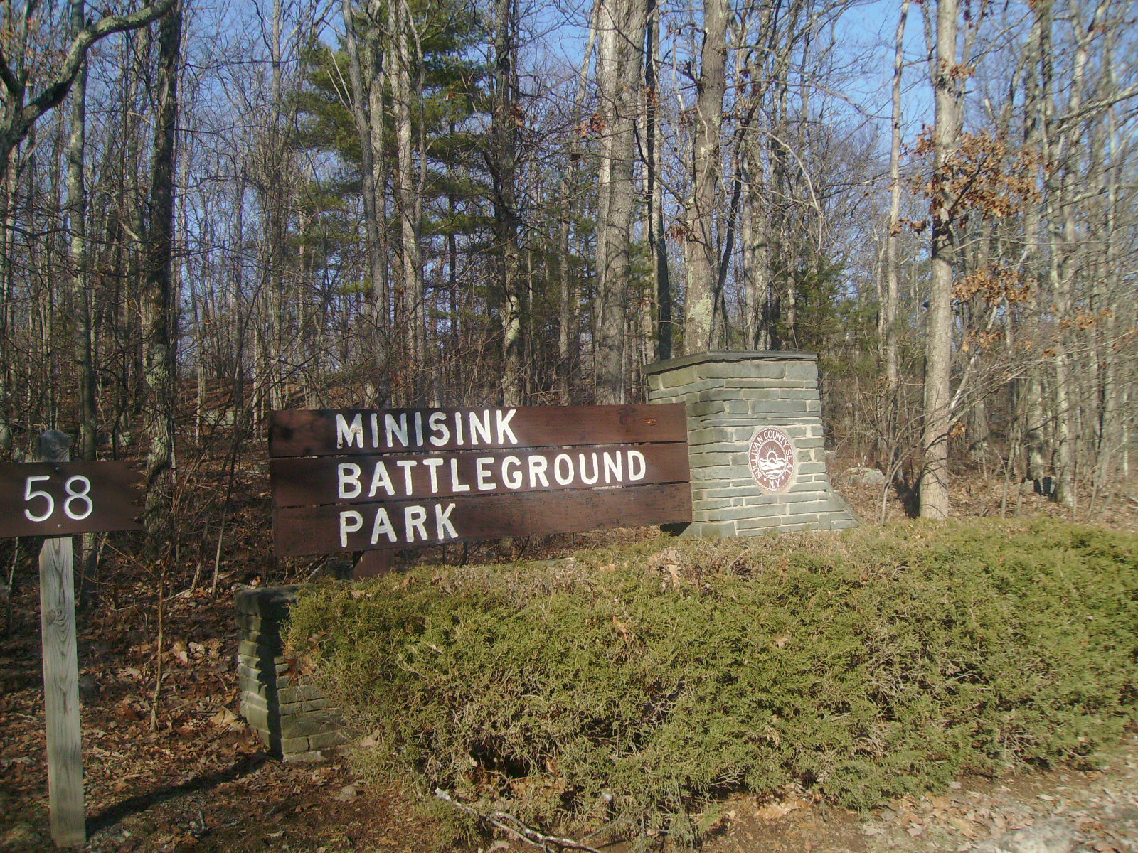
 Sign at the northern terminus of County Route 168 for Minisink Battleground County Park
The Minisink Battleground County Park is a 57-acre (250,000 yd) county-maintained park in the hills above the Delaware River.[2] It was made to dedicate the men who fought at the Battle of Minisink during the Revolutionary War.[3] In July 1779, after skirmishes in present-day Port Jervis and Deerpark, the American army followed the NY 97 corridor to the hills above the Delaware River in Minisink Ford. After an attack in Lackawaxen, Pennsylvania, the army fought the British on the rocky hills. After the ambush and battle, up to fifty American soldiers were killed and only seven of the British experienced fatal injuries.[4]
County Route 168 was assigned onto the alignment that it currently runs by 1994.[5] The Minisink Battleground area was claimed by Sullivan County in 1955.[6] In 1993, the National Park Service added the battleground to the National Register of Historic Places.[7]
Major intersections
The entire route is in Minisink Ford, Sullivan County.
Mile[1] Destinations Notes 0.00 Delaware Drive Pennsylvania state line; Roebling's Delaware Aqueduct 0.05 NY 97 northNorthern terminus of NY 97 / CR 168 overlap 0.08 NY 97 southSouthern terminus of NY 97 / CR 168 overlap 0.88 Minisink Battleground County Park CR 168 ends at the park and continues as York Lake Road 1.000 mi = 1.609 km; 1.000 km = 0.621 mi See also
References
- ^ a b c d Yahoo Maps. Overview Map of Sullivan CR 168 (Map). Cartography by NAVTEQ Incorporated. http://maps.yahoo.com/#mvt=m&lat=41.484209&lon=-74.978808&zoom=17&q1=41.482682%2C-74.984365&q2=41.486154%2C-74.970203. Retrieved January 25, 2009.
- ^ 41°29′17.9″N 74°58′12.8″W / 41.488306°N 74.970222°W
- ^ "Minisink Battleground Park". Sullivan County, New York. 2010. http://www.co.sullivan.ny.us/Departments/DepartmentsNZ/PublicWorksDivisionof/ParksRecreation/MinisinkBattlegroundPark/tabid/3195/Default.aspx. Retrieved November 6, 2010.
- ^ "The Battle At Minisink Ford". Minisink Valley Historical Society. 2009. http://www.minisink.org/minisinkbattle.html. Retrieved January 7, 2005.
- ^ New York State Department of Transportation (1994). Shohola Digital Raster Quadrangle (Map). 1:24,000. http://www.nysgis.state.ny.us/gisdata/quads/drg24/dotpreview/index.cfm?code=cc39. Retrieved January 20, 2010.
- ^ "The Minisink Battleground". Upper Delaware Scenic Byway. 2007. http://www.upperdelawarescenicbyway.org/history/towns/highland/minisinkbattle.php. Retrieved January 7, 2005.
- ^ "National Register of Historic Places - New York - Sullivan County". National Park Service. 2009. http://www.nationalregisterofhistoricplaces.com/ny/Sullivan/state.html. Retrieved February 20, 2009.
External links
Categories:- County routes in Sullivan County, New York


Wikimedia Foundation. 2010.