- County of Buren
-
County of Buren
Graafschap Buren (nl)State of the Holy Roman Empire ← 
c. 994–1795  →
→

Flag Coat of arms Map of the County of Buren around 1665,
County of Buren highlighted in yellowCapital Buren Language(s) Dutch Government County Historical era Middle Ages, Renaissance - Established (994) 1498 - Disestablished 1795 The Buren County in the present province of Gelderland was (until the establishment of the Batavian Republic in 1795) an independent county, which although not formally part of the United Provinces was in practice it was governed by it.
Contents
Lordship of Buren
 Coat of arms of the Lordship of Buren
The Lordship of Buren was a result of the division of the county of Teisterbant in 994. The manor was owned by the van Buren family. Their coat of arms was also the Lordship's and the city's ones. The lordship's original fortress' Buren received city rights in 1395 by the knights Allard, Asch and Erichem; but through the acquisition, war and marriage, a number of villages were grown, including Beusichem, Zoelmond, Buurmalsen and Tricht. By this marriages policy, in 1472 the lordship's ownership went to the House of Egmond.
County
Buren was elevated to a county in 1498 by Emperor Maximilian of Austria. Later Charles V wanted to raised Buren into a dukedom, but Maximilian of Egmond replied: "I prefer a rich count, than a poor duke" and thus Buren remained a county.
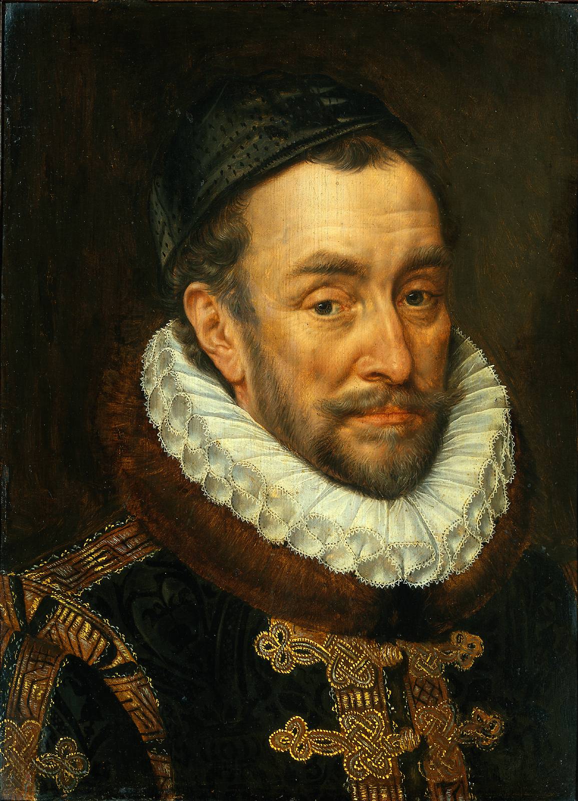
William of Orange in 1551 married the heiress Anna van Egmont, Countess of Buren. This is how the county Buren came into the House of Orange-Nassau ownership. Since then, members of this house also carry the title of Count of Buren.
Mary, the third child of William of Orange and Anna of Egmond, founded in 1612 the orphanage Buren,serving the following 350 years. There is also the Museum of the Royal Military Police. The town of Buren has been declared protected townscape.
With the advent of the Batavian Republic, the counties cease to exist. However, the head of the House of Orange-Nassau (the Dutch Head of State) is named, among other titles, Count or Countess of Buren and Leerdam.
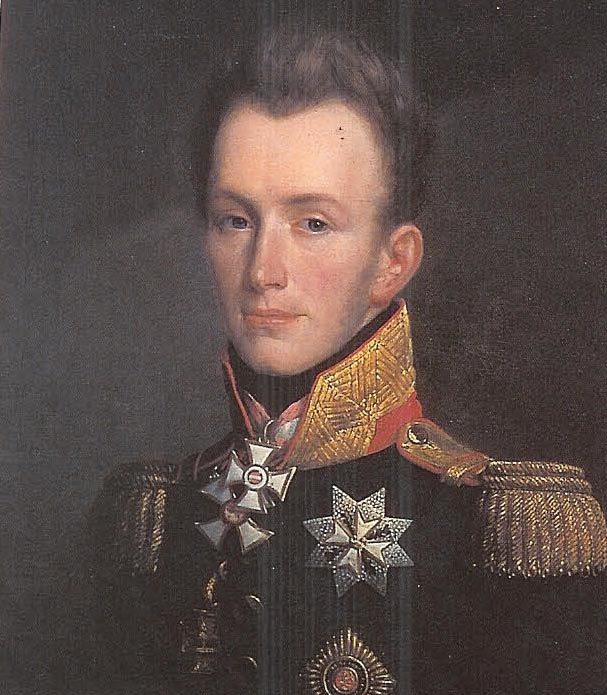
List of the counts of Buren and Leerdam
House of Egmont
House of Orange-Nassau
See also
- van Buren surname
- House of Egmond
- Buren
Categories:- Former polities in the Netherlands
- States of the Holy Roman Empire
- States and territories disestablished in 1795
- Counties
- Buren (Gelderland)
- Historic lands in de Netherlands
- Heerlijkheid in the Netherlands
- History of Gelderland
- Gelderland


Wikimedia Foundation. 2010.