- South Dublin
-
South Dublin
Áth Cliath Theas— County — 
Coat of armsMotto: Ag Seo Ár gCúram (Irish)
"This We Hold in Trust"
Country Ireland Province Leinster Dáil Éireann Dublin Mid West
Dublin South
Dublin South Central
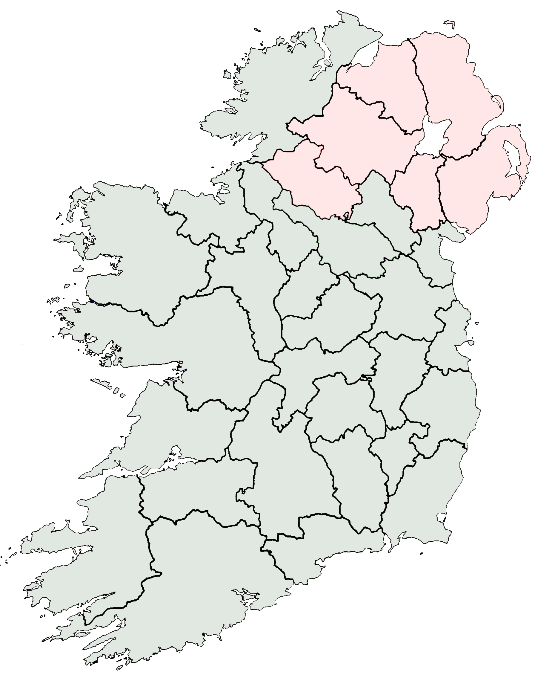
Dublin South WestEU Parliament Dublin County seat Tallaght Government – Type County Council Area – Total 222.74 km2 (86 sq mi) Population (2011) 265,174 Car plates D Website www.sdublincoco.ie South Dublin (Irish: Áth Cliath Theas) is a county in Ireland. It is one of three smaller counties into which County Dublin was divided in 1994. The county seat is Tallaght, the largest suburb of Dublin and the biggest urban centre in the county. Other important centres of population are Lucan and Clondalkin. Much of the county is heavily urbanised but small rural settlements exist in the western parts of the county. South Dublin has a population of 246,935 according to the 2006 census.[1]
Contents
Legal status
As part of the Dublin Region, South Dublin is within the geographic remit of the Dublin Regional Authority. Following the enactment of the Local Government Act 2001, the Regional Authority was established.[2] It is one of eight such Authorities in the state. Local government in the region was further regulated by the Local Government Act 1994. This provided for the legal establishment of the following local government administrative areas:
- Dún Laoghaire–Rathdown
- Fingal
- South Dublin
and also recognised the extant Dublin Corporation area, vesting its powers in a renamed entity - Dublin City Council. The statutory instrument giving effect to the Act came into force on 1 January 1994[3] The instrument also provided for the abolition of Dublin County Council - the entity that had proviously had responsibility for Dun Laoghaire-Rathdown, Fingal and South Dublin. The four entities collectively comprise the former entity known as County Dublin. This entity, which had been created during the Norman invasion of Ireland, was abolished under the Acts.
South Dublin was based on an existing electoral division, Belgard (An Bealach Ard), whose boundaries were only finalized in 1993, to accommodate the M50 motorway, and then used when it was made an Administrative County in 1994 (Fingal and Dun Laoghaire-Rathdown's boundaries and names were both set in 1985). The name of Belgard did have a historical association with the area, being the designation of one of the border fortresses of the Pale that existed in that area. It was altered however due to a view that the name Belgard might create associations with areas of modern development in Tallaght that now also use that name.[citation needed] Various organs of state use alternative subdivisions of the Dublin region for administrative reasons, for example the Dublin postal codes.
Government and politics
Main article: South Dublin County Council2009 Irish Local Elections[4]
South Dublin County CouncilParty Seats Change Labour Party 9 + 1 Fine Gael 8 + 5 Fianna Fáil 4 - 2 Sinn Féin 3 = People Before Profit 1 + 1 Independent 1 = South Dublin County Council is the local authority for the administrative county. It was established at the same time that Dublin County Council and the Corporation of Dún Laoghaire were abolished[5] in 1994, by an Act of the Oireachtas, the Local Government (Dublin) Act, 1993. It is one of four councils in the Dublin Region. The county is divided into five local electoral areas for the purpose of elections:[4] Clondalkin (6 councillors), Lucan (5 councillors), Rathfarnham (4 councillors), Tallaght Central (6 councillors), and Tallaght South (5 councillors).
The heraldic crest for South Dublin reads "This We Hold In Trust" in both English and Irish, while incorporating elements relating to the history, geography and present day infrastructure of the area.
Parts of three constituencies for elections to Dáil Éireann are contained within the county's borders. They are: Dublin Mid West, Dublin South West and Dublin South.
Geography
South Dublin has an area of 222.74 square kilometres and begins 15 km south west of Dublin's centre. It is bounded by the Dublin Mountains to the south, the River Liffey to the north, Lucan and Palmerstown to the west, Tallaght to the south-west and the Dublin Mountains (the foothills of the Wicklow Mountains) to the south. South Dublin is bordered by the counties of Fingal, Dun Laoghaire-Rathdown, Kildare and Wicklow as well as by Dublin City Council, which in law has equal status to administrative counties.
Towns and villages
Most areas in south Dublin are also suburbs of Dublin city but some, such as Newcastle, Rathcoole and Saggart, are too remote for this.
The County Council designates status of towns, villages and suburbs in three tiers - town, district centre and local centre, and these are used in planning and management. In the current development plan,[6] the towns and district centres are listed as:
- Tallaght (county seat)
- Clondalkin ("to be facilitated and developed as a Town Centre... including northward development")
- Lucan (with notes on the Liffey Valley Centre, and the developing Adamstown area - a future "district centre" - and a stated aim to avoid Lucan merging with Leixlip)
- and with a proposal to develop a Town Centre around the Liffey Valley Centre at Quarryvale
while the more local centres are noted in three groups:
- city suburbs including at least Rathfarnham, Palmerstown, Templeogue, Knocklyon and Greenhills
- villages such as Rathcoole, Newcastle(-Lyons), and Saggart
- new neighbourhoods, some within bigger, older areas - including such as Kilnamanagh, Ballyowen, Finnstown, and, in development, Adamstown.[7]
Residential areas
- Rathcoole
- Rathfarnham
- Rockbrook
- Ronanstown
- Saggart
- Tallaght
- Templeogue
See also
References
- ^ Census 2006 - Population of each province, county and city
- ^ (Regional Authorities) Establishment Order 1993.
- ^ Local Government (Dublin) Act, 1993:
Section 2: "the county", in relation to any time before the establishment day, means the administrative county of Dublin
Section 9(1) On the establishment day— ... (a) the county shall cease to exist. - ^ a b 2009 Local Elections – Electoral Area Details ElectionsIreland.org. Retrieved: 2010-02-15.
- ^ "Local Government (Dublin) Act, 1993, Section 9.—(1)"
- "On the establishment day—
- (a) the county shall cease to exist,
- (b) the borough shall cease to exist,
- (c) the electoral counties shall cease to exist, and
- (d) the united district of the burial board shall cease to exist."]
- (a) the county shall cease to exist,
- "On the establishment day—
- ^ County Development Plan 2004-2010, South Dublin County Council. Retrieved: 2010-08-12
- ^ Tallaght, Dublin, Ireland, South Dublin County Development Plan 2004-2010, Chapter 5 [PDF]
External links
Counties of Ireland The counties are listed per provinceConnacht 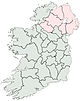
Munster Leinster Ulster Italics denote non-administrative counties. Brackets denote eponymous cities or non-traditional counties. † denotes counties of Northern IrelandCategories:- South Dublin (county)
- Counties of the Republic of Ireland
- County Dublin
- Local administrative units of the Republic of Ireland


Wikimedia Foundation. 2010.