- Coyutla
-
Coyutla — Municipality —  Location of Coyutla within Mexico
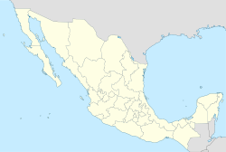
 Coyutla
Coordinates: 20°15′N 97°39′W / 20.25°N 97.65°W Country  Mexico
State Veracruz Government – Municipal President Florencio Sosa Candanedo Area – Total 312.6 km2 (120.7 sq mi) Population – Total 20 843 – Density 66.68/km2 (172.7/sq mi) Time zone CST (UTC-6) – Summer (DST) CDT (UTC-7) Website Official Website Coyutla in Veracruz, Mexico. It is located in central zone of the State of Veracruz, about 110 km from state capital Xalapa. It has a surface of 312.56 km2. It is located at 20°15′N 97°39′W / 20.25°N 97.65°W.
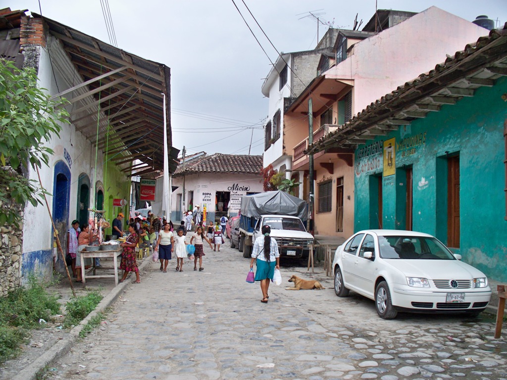
The municipality of Coyutla is delimited to the north and to the west by Puebla State, to the east by Espinal, to the south by Chumatlan, and to the south-west by Coahuitlan.[1]It produces principally maize, beans and Chili pepper.
In Coyutla , in June takes place the celebration in honor of San Pedro and San Pablo, Patrons of the town.
The weather in Coyutla is warm-medium all year with rains in summer and autumn.References
External links
- (Spanish) Municipal Official webpage
- (Spanish) Municipal Official Information
Xalapa (capital)Huasteca Alta
RegionChalma · Chiconamel · Chinampa de Gorostiza · El Higo · Naranjos · Ozuluama de Mascareñas · Pánuco · Platón Sánchez · Pueblo Viejo · Tamalín · Tamiahua · Tampico Alto · Tantima · Tantoyuca · Tempoal de Sánchez
Huasteca Baja
RegionBenito Juárez · Castillo de Teayo · Cerro Azul · Chicontepec de Tejeda · Chontla · Citlaltépetl · Huayacocotla · Ilamatlán · Ixcatepec · Ixhuatlán de Madero · Tancoco · Temapache (Álamo) · Tepetzintla · Texcatepec · Tlachichilco · Tuxpan · Zacoalpan · Zontecomatlán de López y Fuentes
Totonaca
RegionCazones de Herrera · Chumatlán · Progreso de Zaragoza · Coatzintla · Coxquihi · Coyutla · Espinal · Filomeno Mata · Gutiérrez Zamora · Mecatlán · Papantla · Poza Rica · Tecolutla · Tihuatlán · Zococolco de Hidalgo
Nautla
RegionAtzalán · Colipa · Juchique de Ferrer · Martínez de la Torre · Misantla · Nautla · San Rafael · Tenochtitlán · Tlapacoyan · Vega de Alatorre · Yecuatla
Capital
RegionAcajete · Acatlán · Actopan · Alto Lucero · Altotonga · Apazapan · Ayahualulco · Banderilla · Chiconquiaco · Coacoatzintla · Coatepec · Cosautlán de Carvajal · Emiliano Zapata (Dos Ríos) · Ixhuacán de los Reyes · Jalacingo · Jalcomulco · Jilotepec de Molina Enríquez · Las Minas · Las Vigas de Ramírez · Landero y Coss · Miahuatlán · Naolinco de Victoria · Perote · Rafael Lucio · Tatatila · Teocelo · Tepetlán · Tlacolulan · Tlalnelhuayocan · Tonayán · Villa Aldama · Xalapa · Xico
Sotavento
RegionBoca del Río · Cotaxtla · Jamapa · La Antigua (José Cardel) · Manlio Fabio Altamirano · Medellín · Puente Nacional · Soledad de Doblado · Tlalixcoyan · Úrsulo Galván · Veracruz
Mountains
RegionAcultzingo · Alpatláhuac · Amatlán de los Reyes · Aquila · Astacinga · Atlahuico · Atoyac · Atzacan · Calcahualco · Camarón de Tejeda · Camerino Z. Mendoza (Ciudad Mendoza) · Carrillo Puerto (Tamarindo) · Chocamán · Coetzala · Comapa · Córdoba · Coscomatepec de Bravo · Cuichapa · Cuitláhuac · Fortín de las Flores · Huatusco · Huiloapan de Cuauhtémoc · Ixhuatlán del Café · Ixhuatlancillo · Ixtaczoquitlán · La Perla · Los Reyes · Magdalena · Maltrata · Mariano Escobedo · Mixtla de Altamirano · Naranjal · Nogales · Omealca · Orizaba · Paso del Macho · Rafael Delgado · Río Blanco · San Andrés Tenejapan · Sochiapa · Soledad Atzompa · Tehuipango · Tenampa · Tepatlaxco · Tequila · Tezonapa · Tlacotepec de Mejía · Tlaltetela · Tlaquilpa · Tlilapan · Totutla · Xoxocotla · Yanga · Zentla · Zongolica
Papaloapan
RegionAcula · Ángel R. Cabada · Alvarado · Amatitlán · Carlos A. Carrillo · Chacaltianguis · Cosamaloapan · Ignacio de la Llave · Isla · Ixmatlahuacan · José Azueta (Villa Azueta) · Juan Rodríguez Clara · Lerdo de Tejada · Otatitlán · Playa Vicente · Saltabarranca · Santiago Sochiapan (Xochiapa) · Tierra Blanca · Tlacojalpan · Tlacotalpan · Tres Valles · Tuxtilla
Los Tuxtlas
RegionCatemaco · San Andrés Tuxtla · Santiago Tuxtla · Hueyapan de Ocampo
Olmeca
RegionAcayucan · Agua Dulce · Chinameca · Coatzacoalcos · Cosoleacaque · Hidalgotitlán · Ixhuatlán del Sureste · Jáltipan · Jesús Carranza · Las Choapas · Mecayapan · Minatitlán · Moloacán · Nanchital · Oluta · Oteapan · Pajapan · San Juan Evangelista · Sayula de Alemán · Soconusco · Soteapan · Tatahuicapan · Texistepec · Uxpanapa) · Zaragoza
Categories:

Wikimedia Foundation. 2010.