- Cuyamaca Mountains
-
Cuyamaca Mountains Mountain Range Country United States State California District San Diego County Coordinates 32°56′31.174″N 116°36′14.070″W / 32.94199278°N 116.6039083°W Highest point - elevation 1,761 m (5,778 ft) Timezone Pacific (UTC-8) - summer (DST) PDT (UTC-7) Topo map USGS Cuyamaca Peak 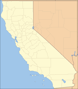
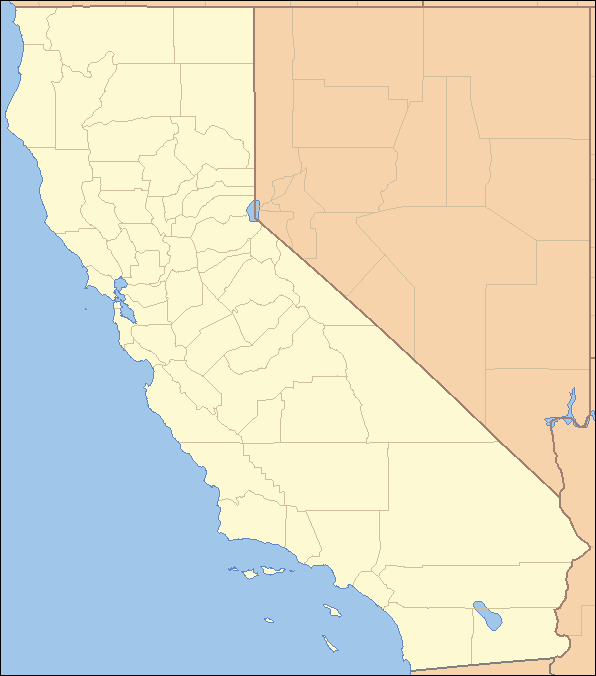
 location of Cuyamaca Mountains in California [1]
The Cuyamaca Mountains, locally the Cuyuamacas, are a mountain range in San Diego County, California.[1] The mountains run roughly northwest to southeast. The highest elevations are Cuyamaca Peak at 6,512 feet (1,985 m) and Stonewall Peak at 5,700 feet (1,700 m).[2] The San Diego River and the Sweetwater River both rise in the Cuyamacas.
The mountains are part of the Cleveland National Forest and contain Cuyamaca Rancho State Park.
There are several small towns in the Cuyamaca Mountains including Julian, Descanso, Pine Valley and Guatay.[citation needed]
Interstate 8 passes through the Cuyamaca Mountains. State Rt. 79, known as the Cuyamaca Highway, runs lengthwise through the mountains.[citation needed]
Gold rush
Gold was discovered in the Cuyamacas in 1870 and the mountains were subject to a gold rush. Towns and encampments sprang up to support the miners. The company town of Cuyamaca City had a population of 500 and served the Stonewall Mine. The town was abandoned after mining operations ceased, and few traces of it exist.[3] The site of the town now lies within Cuyamaca Rancho State Park.[4] Other gold mines were supported by the town of Julian, which celebrates its mining history with an annual festival called Gold Rush Days.[5] The Eagle-High Peak Mine, no longer productive, is now a museum and gives daily tours.[6]
References
- ^ a b "Cuyamaca Mountains". Geographic Names Information System, U.S. Geological Survey. http://geonames.usgs.gov/pls/gnispublic/f?p=gnispq:3:::NO::P3_FID:270730. Retrieved 2009-05-04.
- ^ Cuyamaca Rancho State Park Interpretive Association
- ^ Pourade, Richard, The History of San Diego, Chapter 4, The Mountain that Sprouted Gold
- ^ Sampson, Michael, Recent Archaeological Investigations at the Stonewall Mine Site
- ^ San Diego Union Tribune, June 13, 2010
- ^ juliangoldrushdays.com
Categories:- Mountain ranges of Southern California
- Geography of San Diego, California
Wikimedia Foundation. 2010.