- Darlington Township, Beaver County, Pennsylvania
-
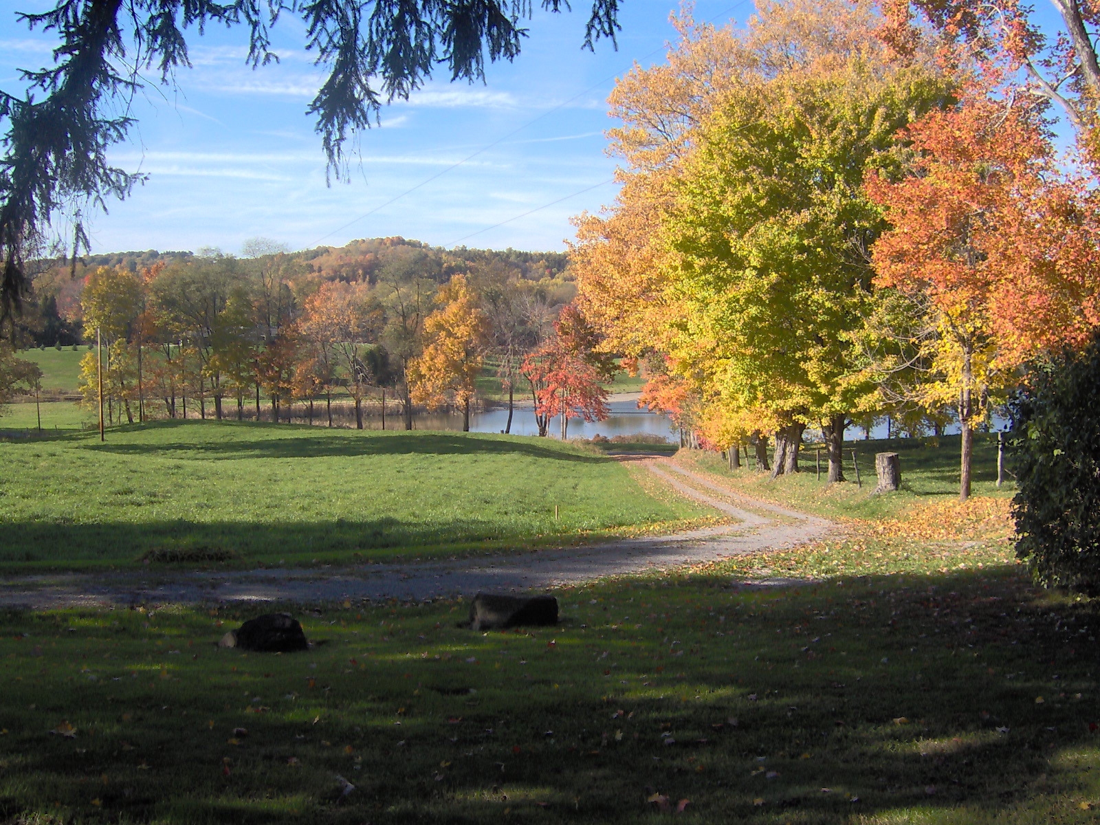
Darlington Township, Beaver County, Pennsylvania — Township — Autumn scenery in southwest Darlington Township, near the borough of Darlington.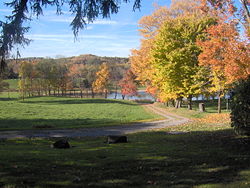 Map of Beaver County, Pennsylvania highlighting Darlington Township
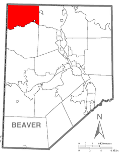 Map of Beaver County, Pennsylvania
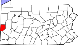
Country United States State Pennsylvania County Beaver Settled Incorporated 1847 Area – Total 22.1 sq mi (57.3 km2) Population (2000) – Total 1,974 – Density 89.6/sq mi (34.6/km2) Time zone Eastern (EST) (UTC-5) – Summer (DST) EDT (UTC-4) Darlington Township is a township in Beaver County, Pennsylvania, United States. The population was 1,974 at the 2000 census.
Contents
History
Darlington and South Beaver townships are connected by the Watts Mill Bridge, which is listed on the National Register of Historic Places.[1]
Geography
According to the United States Census Bureau, the township has a total area of 22.1 square miles (57 km2), of which, 22.0 square miles (57 km2) of it is land and 0.1 square miles (0.26 km2) of it (0.32%) is water.
Demographics
As of the census[2] of 2000, there were 1,974 people, 782 households, and 570 families residing in the township. The population density was 89.6 people per square mile (34.6/km²). There were 847 housing units at an average density of 38.4/sq mi (14.8/km²). The racial makeup of the township was 99.44% White, 0.10% African American, 0.20% Native American, and 0.25% from two or more races. Hispanic or Latino of any race were 0.15% of the population.
There were 782 households out of which 29.2% had children under the age of 18 living with them, 58.4% were married couples living together, 9.8% had a female householder with no husband present, and 27.0% were non-families. 24.0% of all households were made up of individuals and 10.9% had someone living alone who was 65 years of age or older. The average household size was 2.52 and the average family size was 2.95.
In the township the population was spread out with 23.0% under the age of 18, 6.6% from 18 to 24, 29.4% from 25 to 44, 25.4% from 45 to 64, and 15.7% who were 65 years of age or older. The median age was 40 years. For every 100 females there were 97.6 males. For every 100 females age 18 and over, there were 99.5 males.
The median income for a household in the township was $38,011, and the median income for a family was $43,875. Males had a median income of $31,815 versus $21,336 for females. The per capita income for the township was $18,173. About 8.1% of families and 10.7% of the population were below the poverty line, including 14.2% of those under age 18 and 7.4% of those age 65 or over.
References
- ^ PennDOT (October 1, 1982). "Nomination Form" (PDF). National Register of Historic Places. http://www.arch.state.pa.us/pdfs/H000406_01B.pdf. Retrieved April 9, 2009.[dead link]
- ^ "American FactFinder". United States Census Bureau. http://factfinder.census.gov. Retrieved 2008-01-31.
Municipalities and communities of Beaver County, Pennsylvania Cities 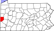
Boroughs Ambridge | Baden | Beaver | Big Beaver | Bridgewater | Conway | Darlington | East Rochester | Eastvale | Economy | Ellwood City‡ | Fallston | Frankfort Springs | Freedom | Georgetown | Glasgow | Homewood | Hookstown | Industry | Koppel | Midland | Monaca | New Brighton | New Galilee | Ohioville | Patterson Heights | Rochester | Shippingport | South Heights | West Mayfield
Townships Brighton | Center | Chippewa | Darlington | Daugherty | Franklin | Greene | Hanover | Harmony | Hopewell | Independence | Marion | New Sewickley | North Sewickley | Patterson | Potter | Pulaski | Raccoon | Rochester | South Beaver | Vanport | White
Unincorporated
communitiesByersdale | Cannelton | Fombell | Frisco | Gringo | Harshaville | Kobuta
Footnotes ‡This populated place also has portions in an adjacent county or counties
Coordinates: 40°49′28″N 80°27′53″W / 40.82444°N 80.46472°W
Categories:- Populated places established in 1847
- Pittsburgh metropolitan area
- Townships in Beaver County, Pennsylvania


Wikimedia Foundation. 2010.