Cleehill

Cleehill
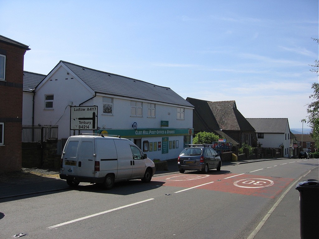
Cleehill, August 2007

Cleehill is a village in Shropshire, England. It is sometimes written as Clee Hill Village (including the road sign entering the village) to avoid confusion.

It lies on the slope of Titterstone Clee Hill and, lying between 340 and 380 metres above sea level, it is one of the highest settlements in the county and has Shropshire's highest public house (at 395m) (named "The Kremlin"[1]) and Shropshire's highest school[2].

The A4117 runs through the village and there is a cattle grid stretching over this major thoroughfare due to the road running across common land. The road reaches an altitude of 381 metres as it passes Titterstone Clee Hill just to the east of the village, and is often affected by snow in winter.

External links

Media related to Cleehill at Wikimedia Commons

Coordinates: 52°22′27″N 2°36′05″W / 52.37413°N 2.60136°W / 52.37413; -2.60136


Wikimedia Foundation. 2010.

Игры ⚽ Поможем решить контрольную работу

Look at other dictionaries:

  • Titterstone Clee Hill — The summit under snow, with radar station beyond. Elevation 533 m (1,749 f …   Wikipedia

  • Clee Hills — The span of the Clee Hills, with Titterstone Clee to the left (south) Clee Burf and Brown Clee (Abdun Burf) to the right (north), viewed from Shatterford Hill in Worcestershire. The Clee Hills are a range of hills in Shropshire, England near… …   Wikipedia

  • Ludlow — infobox UK place country = England latitude= 52.3681 longitude= 2.7176 official name= Ludlow population = 10,500 shire district= South Shropshire shire county = Shropshire region= West Midlands constituency westminster= Ludlow post town= LUDLOW… …   Wikipedia

  • Brown Clee Hill — Brown Clee Hill, looking towards Abdon Burf Elevation 540 m (1,772 ft) …   Wikipedia

  • Anchor, Shropshire — Anchor is a small and very remote village in Shropshire, England, located at gbmapping|SO175851. The village is the most westerly place in Shropshire.GeographyAnchor lies only 400m away from the border with Wales. The B4368 road runs through the… …   Wikipedia

  • A4117 road — The A4117 is a major road in England. It branches from the A456 a few miles west of Bewdley, and runs westward to Ludlow via Cleobury Mortimer and Cleehill. The pass over Titterstone Clee Hill reaches an altitude of 379 metres, and is often… …   Wikipedia

  • Knowle, Shropshire — Knowle is a village in Shropshire, England.It is near to Cleehill …   Wikipedia

  • Knowbury — is a village in Shropshire, England.It is near to Cleehill and has a part time Post Office …   Wikipedia

  • The Golden Lion Light Orchestra — is a four piece traditional English and Irish folk music and ceilidh band. The band formed in the mid 1980 s in the Golden Lion Pub, Cleehill, Shropshire, England, hence its name. They have since played at numerous venues, mostly centralised… …   Wikipedia

  • Bedlam, Shropshire — Bedlam is a small hamlet in south Shropshire, England.It is located east of Bitterley and north of Cleehill …   Wikipedia

Share the article and excerpts

Direct link
Do a right-click on the link above
and select “Copy Link”