- Děčínský Sněžník
-
Děčínský Sněžník 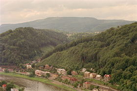
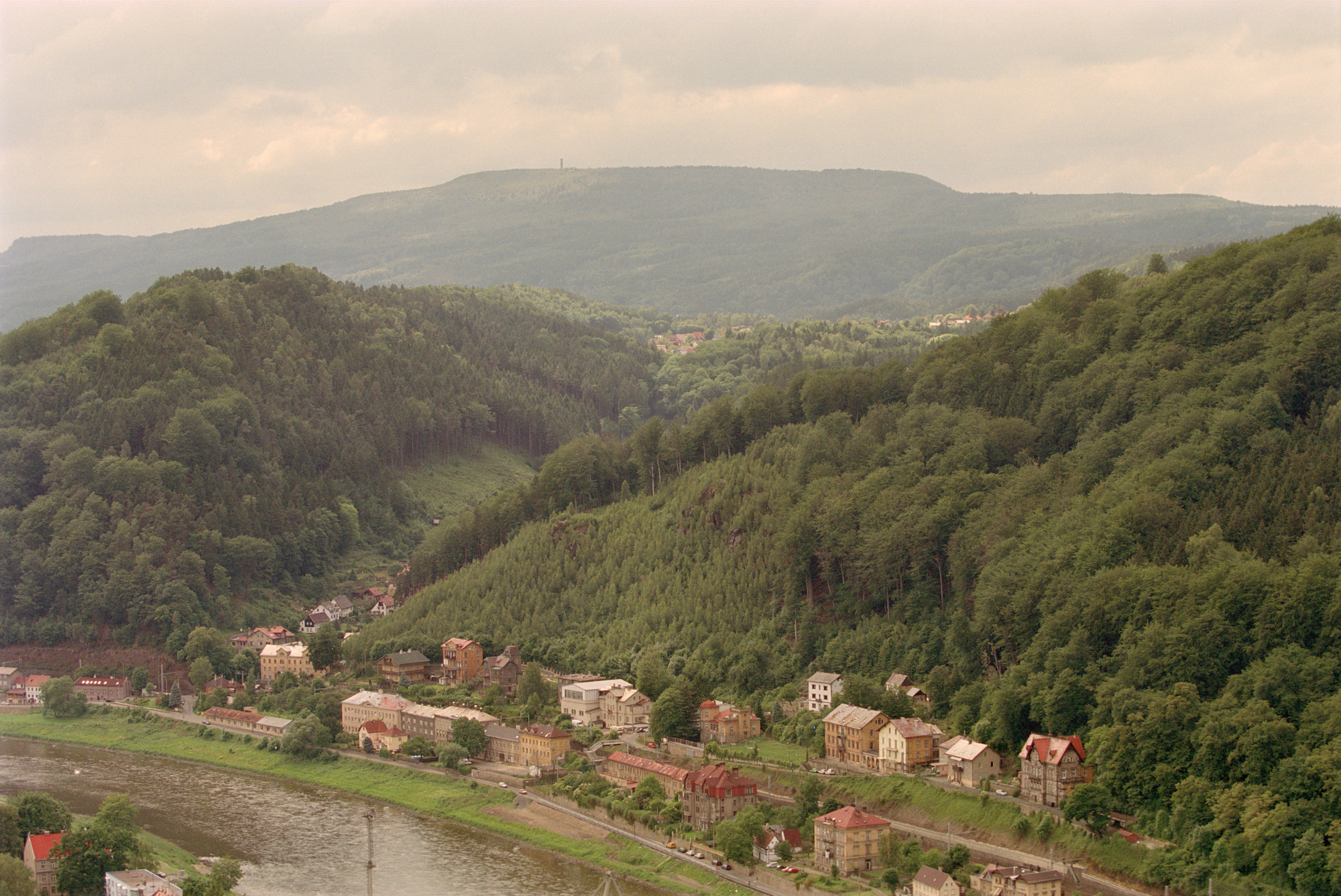
View from the Elbe valleyElevation 722.8 m (2,371 ft) Location Location Děčín District, Ústí nad Labem Region, Czech Republic Range Elbe Sandstone Mountains Coordinates 50°47′44″N 14°6′25″E / 50.79556°N 14.10694°ECoordinates: 50°47′44″N 14°6′25″E / 50.79556°N 14.10694°E The Děčínský Sněžník (German: Hoher Schneeberg) is a mountain in the Czech Republic and, at 722.8 m (2,371 ft) above sea level, the highest peak in the Elbe Sandstone Mountains. The Sněžník is located in the Jílové municipality, west of Děčín in the Ústí nad Labem Region, in the mountainous area of Bohemian Switzerland, close to the border with Germany.
 View tower
One of the first historical figures to visit Děčínský Sněžník was Emperor Joseph II of Habsburg, who climbed the peak in September 1779. The Sněžník was considered an important geodetic point for triangulation and cartographers asked the owner of the principality of Děčín, Prince Franz of Thun and Hohenstein, for permission to establish the peak as a triangulation point. Prince Franz contracted the Dresden architect, Karl Moritz Haenel, to design a stone observation tower. The construction of the Neo-gothic tower at the summit of the Sněžník began in 1863. A nearby fault line a source of building material. The tower was finished in autumn 1864 and was originally used by geodesists, but the view attracted many visitors and in 1865 the local forest administration decided to build a small hostelry for them.
The observation tower at Děčínský Sněžník has remained a popular tourist attraction and lasted, with small modifications, for more than 80 years. After the Second World War the hostelry was abandoned as it had to be pulled down. Likewise the tower deteriorated and, by the 1980s, was in poor condition. Vandals contributed to the degradation of the tower, and its masonry started to collapse. The tower was assigned to the monument fund of the State Monument Preservation, but this formal step did not bring any improvement. In 1992 two million korunas were collected for the renovation of the tower, carried out by the Děčín Kamason company, and this was followed by the erection of a new inn. Since summer 1992 the tower at Děčínský Sněžník has again been open to the public and the peak is once again a popular tourist destination. It offers a panoramic view over Bohemian and Saxon Switzerland as far as Dresden to the north and the ridge of the Giant Mountains to the east.
The summit is a stop on the E3 European long distance path. Ascents may be made from the little village of Jílové or from the Saxon municipality of Rosenthal-Bielatal to the north.
Categories:- Mountains and hills of the Czech Republic
- Elbe Sandstone Mountains
- Rock formations in the Czech Republic
- Mountains and hills of Bohemian Switzerland

Wikimedia Foundation. 2010.