- Manitoulin District
-
Manitoulin District — District — Gore Bay Location of Manitoulin District in Ontario
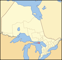
Country Canada 
Province Ontario 
Region Northeastern Ontario Created 1888 Government – MP Carol Hughes – MPP Michael Mantha Area – Total 4,759.74 km2 (2,957 sq mi) Population (2006)[1] – Total 13,090 – Density 2.8/km2 (1.7/sq mi) Canada 2006 Census Time zone Eastern (EST) (UTC-5) Postal code span P0P Area code(s) 705 Seat Gore Bay Manitoulin District is a district in Northeastern Ontario within the Canadian province of Ontario. It was created in 1888 from part of Algoma District. The district seat is Gore Bay.
It comprises Manitoulin Island and a number of small islands around it, making it the smallest district in Ontario. Previously it included the municipality of Killarney on the mainland, until this was transferred to Sudbury District in the late 1990s. However, the district still includes a small mainland portion which is part of the Wikwemikong Unceded Indian Reserve.
Contents
Demographics
In 2001, the population of Manitoulin District was 12,679; in 2006, it had risen to 13,090. The district's land area is 4,759.74 km (2,957 mi), for a population density of 2.8 people/km (1.7 people/mi). There are no visible minorities in the district; however, almost 40 per cent of the district's population is First Nations.[1]
Services
Like the other districts of Northern Ontario, the Manitoulin District does not have a county or regional municipality tier of municipal government. All services in the district are provided either by the individual municipalities or directly by the provincial government. However, the Manitoulin District does not have its own administrative area for provincial government services — instead, services are provided jointly with the Sudbury District from its district seat in Espanola.
Organizations
- Manitoulin Streams Improvement Association - A not for profit group that rehabilitates streams rivers and creeks on Manitoulin Island.
Municipalities
Towns
Townships
- Assiginack
- Billings
- Burpee and Mills
- Central Manitoulin
- Cockburn Island
- Gordon/Barrie Island
- Tehkummah
Unorganized areas
Indian reserves
- M'Chigeeng (West Bay)
- Sheguiandah
- Sheshegwaning
- Sucker Creek
- Whitefish River
- Wikwemikong
- Zhiibaahaasing (Cockburn Island)
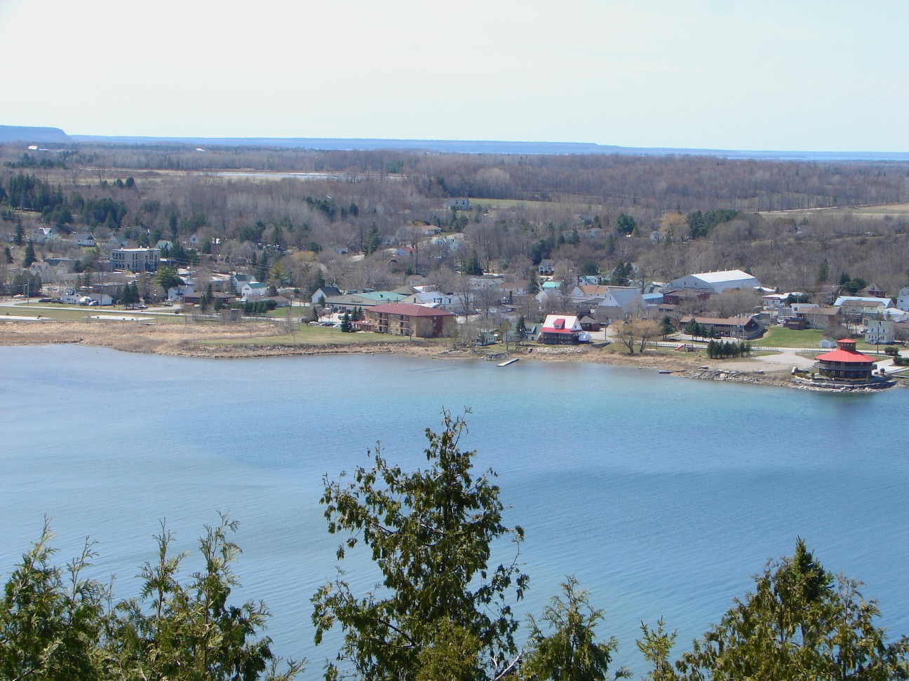
Communities
- Advance
- Bass Creek
- Bidwell
- Big Lake
- Bowser's Corner
- Britainville
- Burnt Island
- Burpee
- Clover Valley
- Cold Springs
- Cook's Dock
- Dinner Point Depot
- Dryden's Corner
- Eads Bush
- Eagles Nest
- Elizabeth Bay
- Evansville
- Fernlee
- Foxey
- Gibraltar
- Green Bay
- Grimsthorpe
- Hilly Grove
- Honora
- Ice Lake
- Kagawong
- Little Current
- Long Bay
- Manitowaning
- Meldrum Bay
- Michael's Bay
- Mindemoya
- Monument Corner
- Old Spring Bay
- Perivale
- Pleasant Valley
- Poplar
- Providence Bay
- Rockville
- Sandfield
- Sheguiandah
- Silver Water
- The Slash
- Snowville
- South Baymouth
- Spring Bay
- Squirrel Town
- Tobacco Lake
- Tolsmaville
- Turner
- Vanzant's Point
Provincial highways
Manitoulin District is served by only one primary provincial highway, Highway 6. This highway enters the district at the ferry docks in South Baymouth, in the township of Tehkummah, where the Chi-Cheemaun ferry travels to and from Tobermory in the municipality of Northern Bruce Peninsula. It exits the district in the Whitefish River First Nation, just south of Whitefish Falls, when it crosses into the Sudbury District.
A number of secondary provincial highways, the equivalent in a district to a county or municipal road in Southern Ontario, serve the communities of Manitoulin Island. These are:
Highway Extension 540 from the community of Little Current (Northeastern Manitoulin and the Islands) to Meldrum Bay, the westernmost settlement on the island 540A connects Barrie Island to Highway 540 540B connects Gore Bay to Highway 540 542 extends from Highway 540 south of Gore Bay to Highway 6 near Tehkummah 542A connects the community of Tehkummah to Highway 542 551 from M'Chigeeng (West Bay) to Providence Bay (Central Manitoulin) Demographics
Ethnic groups
- 62.4% White
- 38.0% Aboriginal
- According to Statcan there are no visible minorities in the district, rare for a community in Ontario.
Religious groups
- 42.3% Protestant
- 37.3% Roman Catholic
- 2.7% other Christian
- 17.7% other/none
References
External links
 Media related to Manitoulin at Wikimedia Commons Media related to Cities and towns of Manitoulin District at Wikimedia Commons
Manitoulin District, Ontario Towns Townships Assiginack • Billings • Burpee and Mills • Central Manitoulin • Cockburn Island • Gordon/Barrie Island • TehkummahIndian Reserves M'Chigeeng (West Bay) • Sheguiandah • Sheshegwaning • Sucker Creek • Whitefish River • Wikwemikong • Zhiibaahaasing (Cockburn Island)Unorganized terrtories Categories:

Wikimedia Foundation. 2010.