- Drive Creek (Ontario)
-
Drive Creek River Country Canada Province Ontario Region Northwestern Ontario District Kenora Part of Nelson River drainage basin Tributaries - right Tripoli Creek Source Drive Lake - elevation 393 m (1,289 ft) - coordinates 50°20′10″N 91°10′15″W / 50.33611°N 91.17083°W Mouth Marchington River - elevation 390 m (1,280 ft) - coordinates 50°20′50″N 91°08′58″W / 50.34722°N 91.14944°W Length 2.9 km (2 mi) 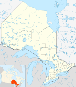
 Location of the mouth of Drive Creek in Ontario
Drive Creek is a creek in the Nelson River drainage basin in Kenora District, northwestern Ontario, Canada. It begins at Drive Lake at an elevation of 396 metres (1,299 ft). The creek then takes in its right tributary Tripoli Creek at an elevation of 390 metres (1,280 ft) just upstream of its mouth at the Marchington River at the same elevation. The total length of the creek is 2.9 kilometres (1.8 mi).
Tributaries
- Tripoli Creek
References
- "Drive Creek". Geographical Names Data Base. Natural Resources Canada. http://geonames.nrcan.gc.ca/search/unique_e.php?id=FAZTW&output=xml. Retrieved 2011-07-06.
- "Toporama - Topographic Map Sheets 52J6". Atlas of Canada. Natural Resources Canada. http://atlas.nrcan.gc.ca/site/english/maps/topo/map. Retrieved 2010-02-06.
Categories:- Rivers of Ontario
- Geography of Kenora District, Ontario
- Northern Ontario geography stubs

Wikimedia Foundation. 2010.