- Local electoral area
-
A local electoral area (often abbreviated as LEA) is a sub-division of a county and city-level local government used for electoral purposes in Ireland. Each local electoral area consists of a number of lower-level units known as district electoral divisions (DED). Each LEA elects between three and seven councillors to the county or city councils that make up local government in Ireland. The electoral system used is the single transferable vote.
For lower-level authorities such as town or borough councils, the entire town usually forms a single electoral area, returning either nine or twelve councillors. Exceptions to this rule are the towns of Bray and Dundalk, and the boroughs of Drogheda and Sligo, where the towns are subdivided into smaller electoral areas which do not necessarily coincide with the boundaries of county electoral areas.
Dublin City Council
Dublin City Council has thirteen Local Electoral Areas.
Area Seats Artane/Whitehall 5 Ballyfermot/Drimnagh 4 Ballymun/Finglas 5 Cabra/Glasnevin 5 Clontarf 5 Crumlin/Kimmage 4 Donaghmede 4 North Inner City 6 Pembroke/Rathmines 6 South East Inner City 4 South West Inner City 4 Dublin City Council must by law at least once in every ten years, following consultation with the returning officer for Dáil elections in respect of each constituency within its area, establish a polling district containing a polling place. This is call the Polling Scheme which lists each constituency with its Local Electoral Areas, polling districts and polling places.
-

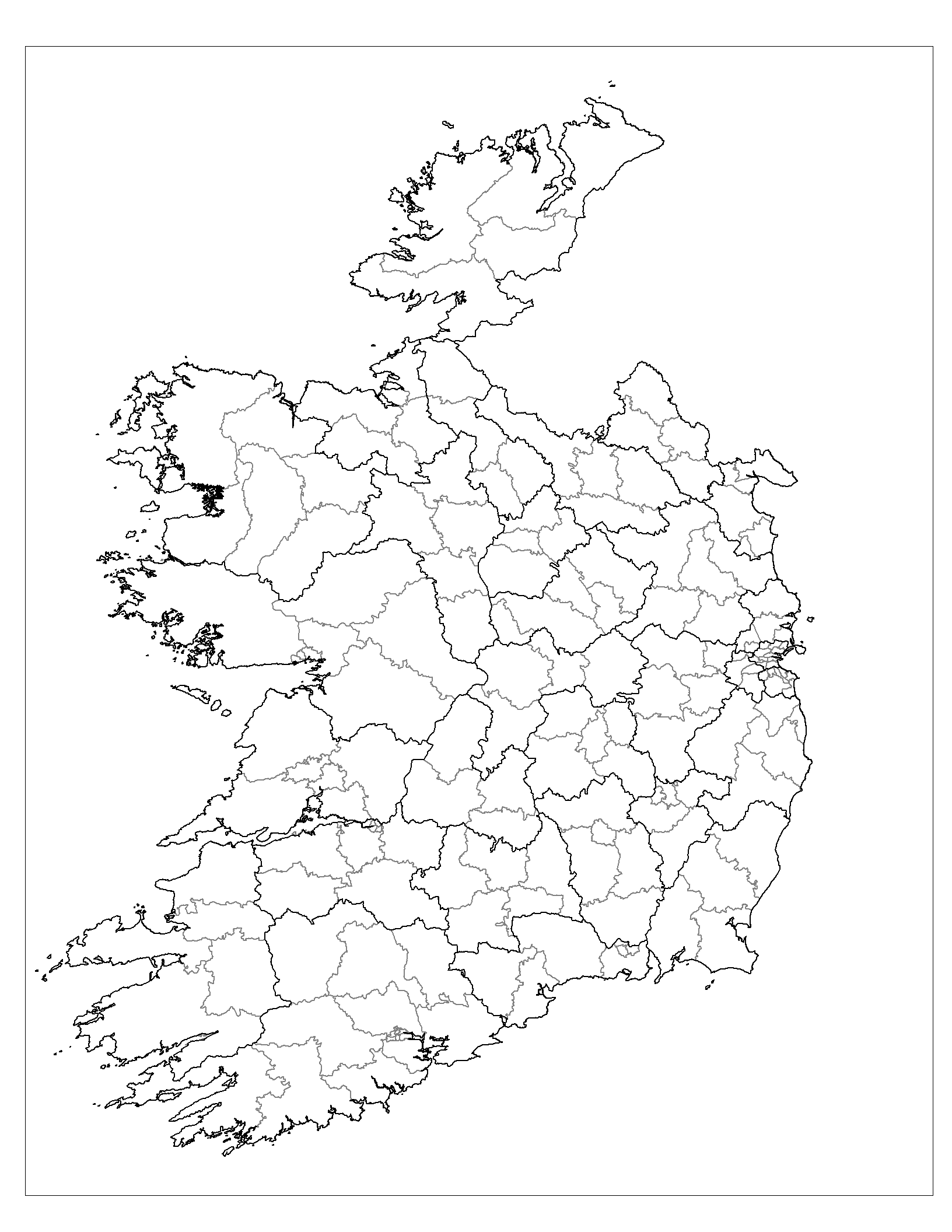
Electoral areas of the Republic of Ireland
-

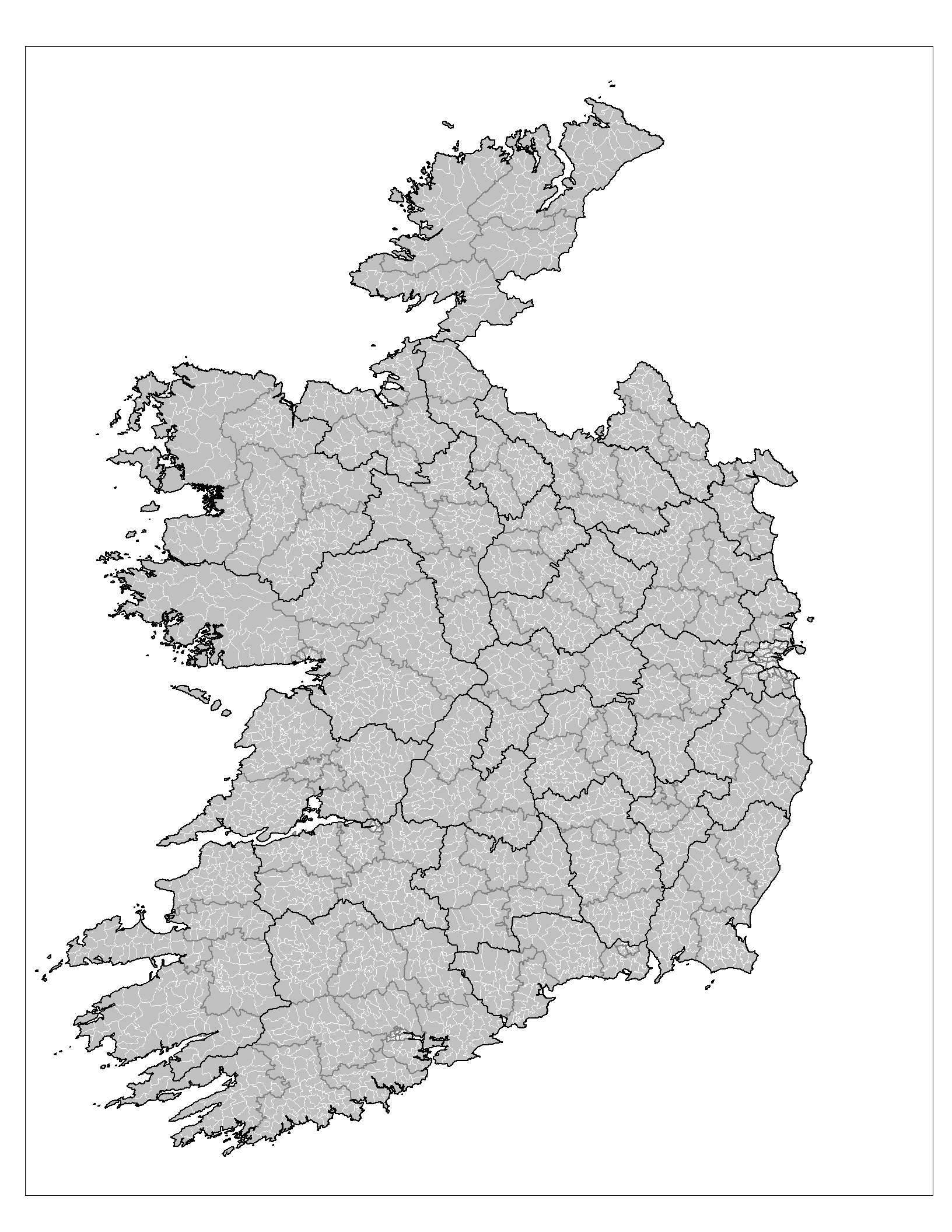
District Electoral Divisions (DEDs) of the Republic of Ireland
-

Electoral divisions of the Republic of Ireland
See also
- Local government in the Republic of Ireland
- Counties of Ireland
- Parliamentary constituencies in the Republic of Ireland
External links
Categories:- Local government in the Republic of Ireland
- Elections in the Republic of Ireland
- Republic of Ireland politics stubs
-

Wikimedia Foundation. 2010.