- Portsbridge Creek
-
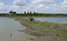
 Part of Portsbridge Creek with the tide half in
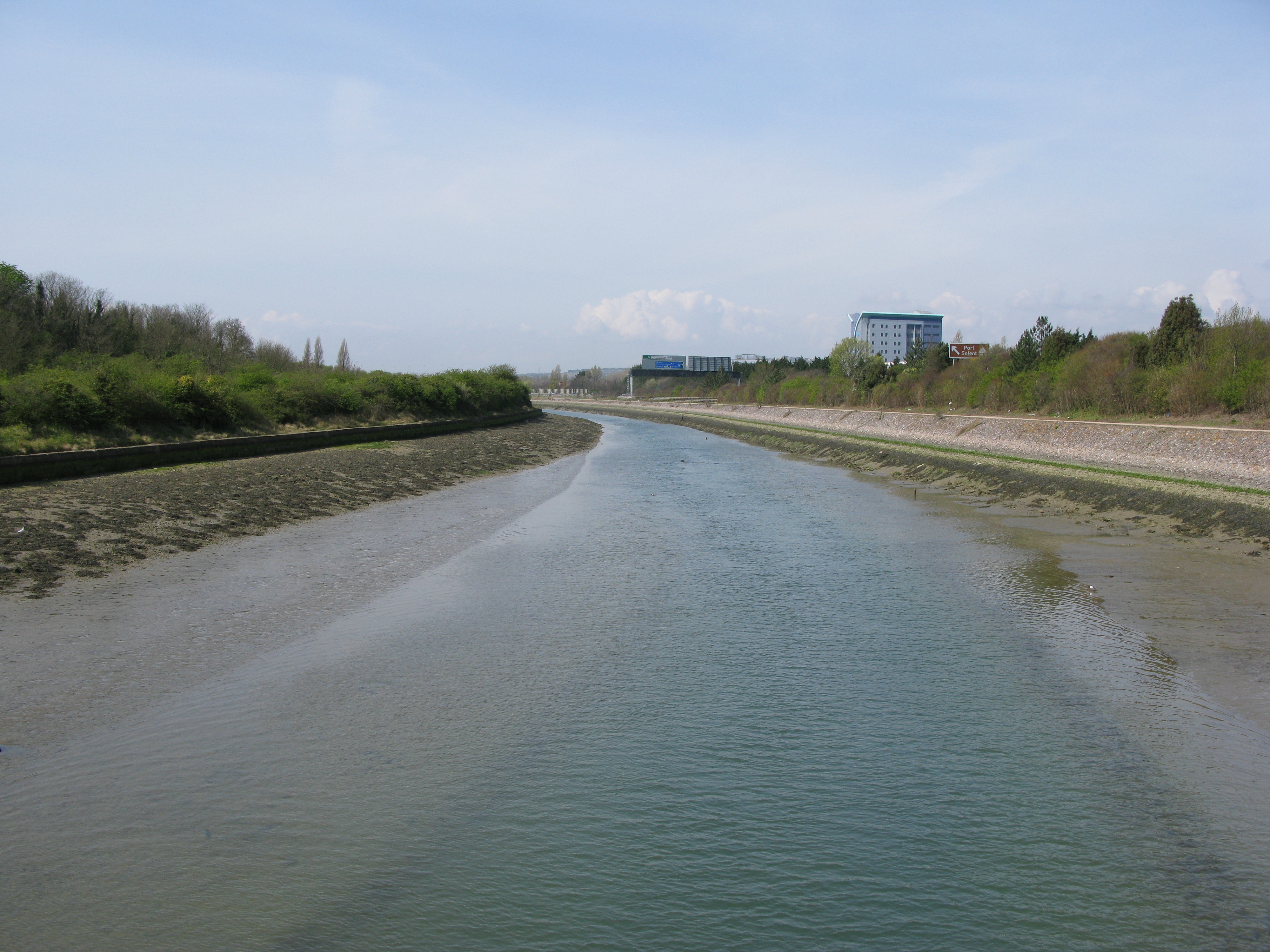
Portsbridge Creek (also Port Creek, Ports Creek and Canal Creek) is a tidal waterway that runs between Portsea Island and the mainland [1] from Langstone Harbour to Tipner Lake. Through its history it has been made navigable a number of times and it is today navigable for small boats.
Contents
History
During the English Civil War Royalist forces attempted to hold the parliamentarian forces at the creek during the early stages of the Siege of Portsmouth.[2] Defences consisted of a wooden barricade mounted on the bridge backed by a small fort equipped with 4 guns.[2] The guns were withdrawn on 10 August 1642 and with the barricade held by as few as 8 men the parliamentarian forces were able to cross the creek two days later.[2]
It has been suggested that the presence of a customs officer in Cosham was to deal with attempts at landing contraband from Portsbridge Creek.[3]
 The remains of one of the dams built in the 1850s
The waterway was made navigable by the Portsmouth & Arundel Navigation company in 1830 after the failure of the Portsea canal.[4] The work to deepen the creek cost £1000.[5] It proved difficult to keep the creek clear for navigation and a canal called the Cosham Canal to provide an alternative route was proposed, although it was never built.[6] The canal company abandoned the creek in 1838.[4] An army report on the status of the Hilsea lines made in 1853 mentioned that the creek was filled with weeds to the point where for 3 to 4 hours every day it could be walked across.[7] Later in the decade as part of upgrade works on the Hilsea Lines, the creek was widened and deepened to allow it to be used by gunboats.[8] Dams and flood gates were constructed at the ends of the creek to allow it to be kept it in water at all stages of the tide.[9] The remains of one of these dams can be seen at the eastern end of the creek.[9]
In 1963 there was a suggestion that it be redeveloped as the Dunkirk Memorial Channel.[1] In the late 1960s the A27 was built on part of the channel while the remainder was dredged.[10] This, along with other improvements, made the creek navigable for small boats.[10]
Bridges over the creek
Bridges have been built across the creek at various locations. An early bridge across the creek was a 15th-century double-arched stone bridge at the western end of the creek.[11] In 1867 a new retractable bridge was constructed at a cost of £5,000 to allow the passage of gunboats.[12] The bridge was built as a steel frame with a wooden deck consisting of two two 12-foot-wide (3.7 m) lanes.[12] In 1904 the bridge was transferred to the Portsmouth Corporation (forerunner of Portsmouth City Council) who fixed it in place and reinforced it to allow trams to run across it.[12] The bridge was replaced by a wider bridge in 1927,[12] which in turn was replaced by the current structure in 1970 during the construction of the A27.[12]
The London, Brighton and South Coast Railway built a wooden bridge across the creek in 1847.[11] This was replaced by a swing bridge in 1870.[13] An Admiralty order required the bridge to open between 2 and 3am on the first Sunday of every February.[13] The swing bridge was itself replaced in 1909.[11] A bridge was added at the eastern end of the creek in 1941.[11] Another crossing built during World War 2 was a causeway with the creek being limited to a small pipe.[1] This was replaced by a footbridge during the construction of the A27.[10]
References
- ^ a b c "Historic Campaigns - Ports Creek". Inland Waterways Association. 2006. http://www.waterways.org.uk/Ourwork/AHistoryofIWA/HistoricCampaigns/PortsCreek. Retrieved 13 September 2009.[dead link]
- ^ a b c Webb, John (1977). The Siege of Portsmouth in the Civil War. Portsmouth City Council. pp. 14–15. ISBN 0901559334.
- ^ Tweed, Ronald (2000). A History of Langstone Harbour and its environs in the County of Hampshire. Dido Publications. pp. 62–63. ISBN 0953331210.
- ^ a b Vine, P.A.L (1990). Hampshire Waterways. Middleton press. p. 103. ISBN 0906520843.
- ^ Cuthbert, Ted (1988). Portsmouth's Lost Canal. Environmental Education Project. p. 42.
- ^ "Hampshire Canals". University of Portsmouth. http://www.geog.port.ac.uk/webmap/hantscat/html/canals.htm. Retrieved 13 September 2009.
- ^ Mitchell, Garry (1988). Hilsea Lines and Portsbridge. p. 2. ISBN 0947605061.
- ^ Local Studies Resource Guide to The Defence of Portsmouth Harbour Part 1 The Eastern Defences. Portsmouth Teachers’ Local study group. 1980. p. 27.
- ^ a b Fontana, Val; Fontana, Dominic (2000). "A brief historical survey". In Allen, Michael J; Gardiner, Julie. Our Changing Cost a survey of the intertidal archaeology of Langstone Harbour Hampshire. York: Council for British Archaeology. p. 82. ISBN 1902771141.
- ^ a b c "Portsmouth city Council planning service student information sheet Northharbour Land reclamation" (PDF). Portsmouth City council. March 1999. p. 3. http://www.portsmouth.gov.uk/media/InformationSheet_Northarbour.pdf. Retrieved 6 October 2009.
- ^ a b c d Vine, P.A.L (1990). Hampshire Waterways. Middleton press. p. 104. ISBN 0906520843.
- ^ a b c d e Mitchell, Garry (1988). Hilsea Lines and Portsbridge. pp. 26–29. ISBN 0947605061.
- ^ a b Mitchell, Garry (1988). Hilsea Lines and Portsbridge. p. 30. ISBN 0947605061.
External links
Categories:

Wikimedia Foundation. 2010.