- Dupont Circle (WMATA station)
-
Dupont Circle 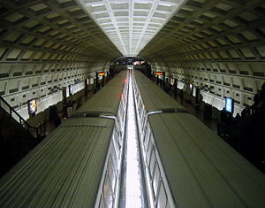
Station statistics Address 1525 20th Street, Northwest
Washington, D.C. 20036Lines Connections Metrobus
DC Circulator
MTA Maryland Commuter BusStructure Underground Platforms 2 side platforms Tracks 2 Bicycle facilities 16 racks, 12 lockers Other information Opened January 17, 1977[1] Accessible 
Code A03 Owned by Washington Metropolitan Area Transit Authority Traffic Passengers (2010) 8.392 million[2] Services Preceding station Washington Metro Following station Woodley Parktoward Shady GroveRed Line Farragut Northtoward GlenmontLocation 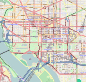

Dupont Circle is a Washington Metro station in Washington, D.C. on the Red Line that opened for service on January 17, 1977.[1]
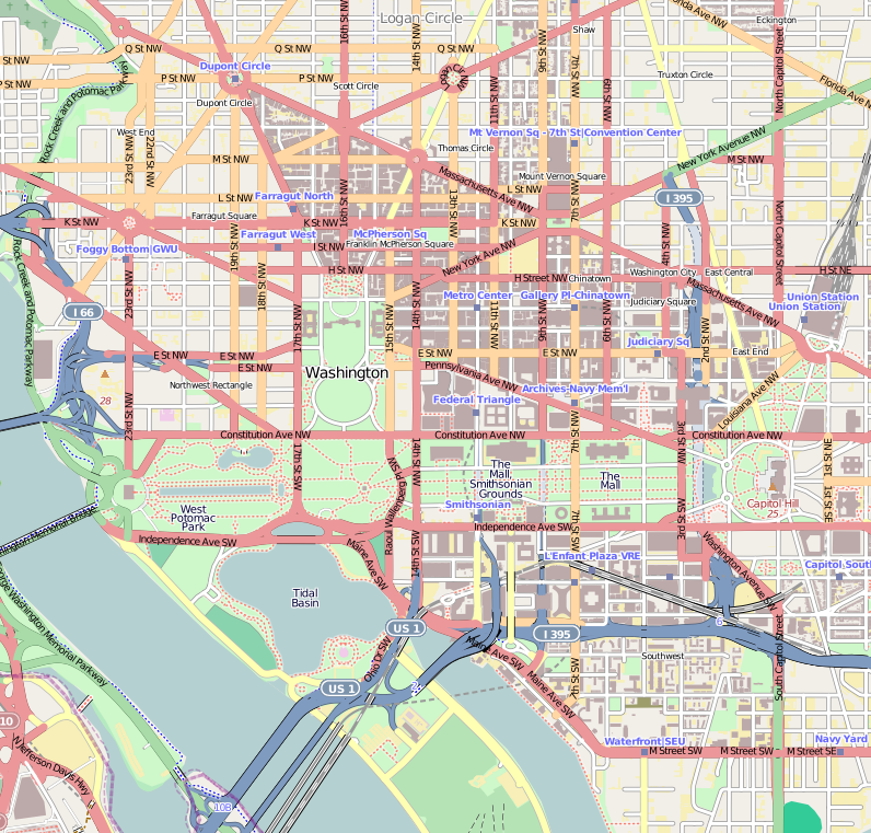
The station, which serves the neighborhood of Dupont Circle, has two entrances: the north entrance, on Q Street Northwest between Connecticut Avenue and 20th Street Northwest (which opened in January 1977), and the south entrance, on 19th Street Northwest between Dupont Circle and Sunderland Place (which opened in March 1977).[1] The station's north entrance escalators are 188 feet (57 m) long.[3]
 Panorama of the north entrance with inscribed poem.
The station was constructed underneath a former streetcar tunnel and another tunnel that carries Connecticut Avenue traffic. It is the fifth-busiest station in the Metrorail system, averaging 23,400 passengers per weekday as of May 2006[update].[4]
In 2007, a portion of the poem The Wound Dresser by Walt Whitman was inscribed into the granite wall around the north entrance escalators:[5]
Thus in silence in dreams' projections,
Returning, resuming, I thread my way through the hospitals;
The hurt and wounded I pacify with soothing hand,
I sit by the restless all the dark night - some are so young;
Some suffer so much - I recall the experience sweet and sad,...Notable places nearby
- Brickskeller
- Brookings Institution
- Carnegie Endowment for International Peace
- Embassy Row
- Emerson Preparatory School
- International Temple
- Kramerbooks & Afterwords
- Lambda Rising
- Middle East Institute
- Paul H. Nitze School of Advanced International Studies
- Peterson Institute for International Economics
- The Phillips Collection
- Sonny Bono Memorial Park
- Stead Park
- St. Thomas' Parish
References
- ^ a b c Eisen, Jack (January 18, 1977). "Circle greets wind tunnel Metro stop". The Washington Post: p. C3.
- ^ Neighborhood profiles WDCEP Retrieved 2011-10-19
- ^ Karush, Sarah. 'Friday the 13th' blackout hits nation's capital. Associated Press. The Baltimore Sun. 2008-06-13. Retrieved 2008-06-13.
- ^ "Request for Expressions of Interest for Operation of Retail Services in Metrorail Stations". WMATA. 2007-02-16. http://www.wmata.com/bus2bus/reoi/reoi.pdf.
- ^ Mathis, Sommer (2007-06-05). "Dupont Metro gets poetry". DCist. http://dcist.com/2007/06/05/dupont_metro_ge.php. Retrieved 2009-01-17.
External links
- WMATA: Dupont Circle Station
- StationMasters Online: Dupont Circle Station
- The Schumin Web Transit Center: Dupont Circle Station
- Q Street entrance from Google Maps Street View
- 19th Street entrance from Google Maps Street View
Coordinates: 38°54′34″N 77°02′37″W / 38.909499°N 77.04362°W
Categories:- Dupont Circle
- Railway stations opened in 1977
- Red Line (Washington Metro)
- Washington Metro stations in Washington, D.C.


Wikimedia Foundation. 2010.