- Dürre Wand
-
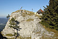
The Dürre Wand (literally "barren wall") is a mountain ridge in Lower Austria and belongs topographically to the Gutenstein Alps. It runs from Miesenbach in a WSW direction to the Schneeberg. The Dürre Wand is a ridge, rocky in places, which is bordered by pastures, forests and waterfalls. In contrast to the plateau of the Hohe Wand immediately to the east, it culminates in a narrow edge, along which runs a path with outstanding views.
Contents
Elevations
The highest elevations are the Katharinenschlag (1,222 m AA), the Schober (1,213 m AA), the Öhler (1,183 m AA) and the Plattenstein (1,154 m AA).
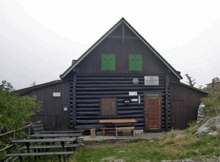 The Gauermann Hut in August 2007
Refuge huts
More or less in the centre of the ridge, east of the Öhler at a height of 1,027 m AA is the Öhler Refuge Hut which belongs to Friends of Nature (Naturfreunde). On the Plattenstein is the Gauermann Hut belonging to the Austrian Tourist Club (Österreichischer Touristenklub) or ÖTK.
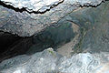
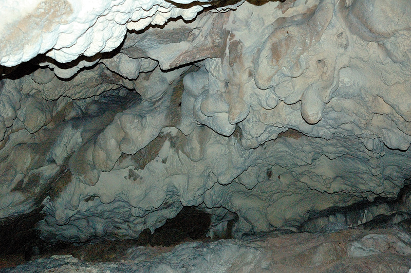
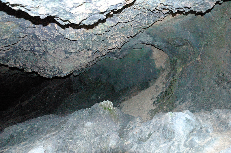
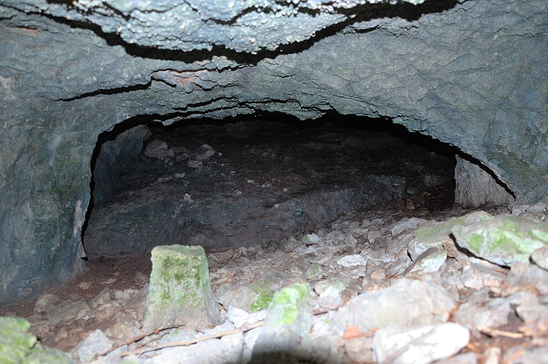
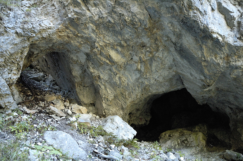
Caves
The Tabler Cave east of the Plattenstein and the Erzloch, a shaft cave east of the Öhler refuge hut, are two caves on the crest of the Dürre Wand.
Gallery
-

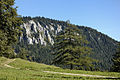
Mt. Schober (1213 m)
-
Mt. Öhler (1183 m)
-
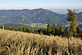
View from Mt. Katharinenschlag (1222 m)
-
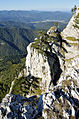
Mt. Plattenstein (1154 m)
-

View from Mt. Plattenstein
-
Gauermannhütte
-

Cave Bergmilchkammer
-

Cave Malepartuskluft
-
Cave Marechlehöhle
-

Cave Schoberbachklammhöhle
-

Cave Untere Öhlerhöhle
External links
- Gauermann Hut (German)
- Öhler Hut (German)
Coordinates: 47°49′59″N 15°55′17″E / 47.83306°N 15.92139°E
Categories:- Gutenstein Alps
- Mountain ranges of Austria
-


Wikimedia Foundation. 2010.