- South Line, Tasmania
-
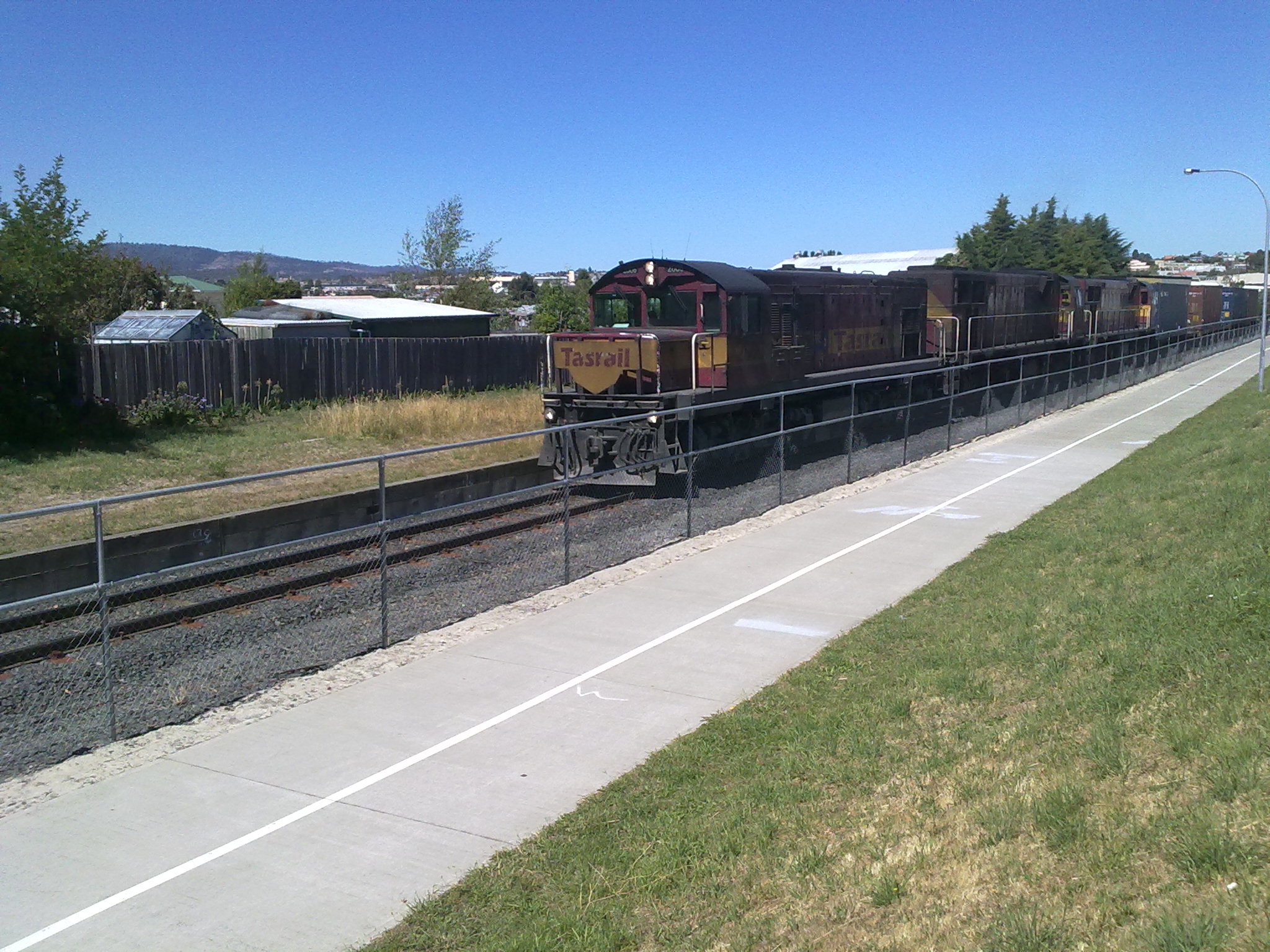
South Line  A train on the South Line at Glenorchy.
Line length: 199.1 km Gauge: 1,067 mm (3 ft 6 in) Legend


Hobart 
Tasman Highway Brooker Highway 
New Town 
Derwent Park Road 

Zinc Works Line Derwent Park Lampton Avenue Elwick Road 


Tasmanian Transport Museum 
Grove Road Rosetta 
Main Road Brooker Highway Berriedale Claremont Main Road 
Cadbury's Spur Line Austins Ferry Midland Highway 
Bridgewater Bridge 

Derwent Valley Line Bridgewater 

Brighton Transport Hub 

Tea Tree Richmond Road Campania Lower Jerusalem Jerusalem Corrigan's Tank Rhyndaston 
Rhyndaston Tunnel Stonor 
Highest elevation(1526m) 

Oatlands Spur Line Parattah Eastern Marshes Lord's Coal Mine York Plains Antill Ponds Tunbridge Ross Campbell Town 

Fingal Line 
Conara Midland Highway Cleveland Epping Forest Midland Highway Snake Banks Clarendon Evendale 
Bell Bay Line/Western Line If the route map looks broken,
to purge the page and fix it.The South Line, also known as the Main Line and sometimes the North/South Line or the North–South Line, is a freight rail corridor connecting Hobart to the northern ports of Tasmania.[1] The Railway Line was built by the Tasmanian Main Line Company.[1] The route of the railway travels some reasonably poor topography, particularly in the southern section.
Contents
History
When building the railway Line the company had limited finances, the line was built to the (1067 mm) Narrow Gauge and included long sections of steep gradients and sharp curves. The final eighteen kilometres of the route from Western Junction to Launceston used the existing Broad gauge alignment of the Launceston and Western Railway, with a third rail being laid for use by the narrow gauge trains. The Railway Line was officially opened on 1 November 1876. As Tasmania has a very competitive Road Transport industry and a modern road network, only limited deviations have been built in the Main line's 125 year history. Although the line still follows the original alignment, the standard of the track has improved by the use of heavier rail welded into long lengths, steel sleepers and better ballast. The line remains in service, and sees multiple freight trains most days, these generally operating Burnie to Boyer and Burnie / Launceston to Hobart and return.[1]
Route
The line commences at the Hobart intermodal Terminal at Maquarie Point, on Hobart's waterfront. The line follows the western side of the Derwent River to Bridgewater, where the river is crossed by the Bridgewater Bridge. From here the line runs generally north east though easy country to Rekuna (between Tea Tree and Campania). From here the often steep and/or twisty climb commences, with little respite for train crews until Rhyndaston and its 1200m long tunnel is passed, some 28 km later. The descent from near Parattah is not as steep or severe as its southern counterpart, although does still include a number of difficult sections including the Tin Dish and Nala deviations which were constructed in the 1930s to lessen gradients, although at the expense of more additional curvature in some sections. North of Antill Ponds, the line roughly parallels the Midland Highway as they both follow the agriculturally rich valley's formed by the Macquarie and South Esk rivers. The South Line finishes at Western Junction near Evandale, where it connects with the Western Line.[1]
Future
A $400,000 feasibility study is currently underway for the possible introduction of commuter trains along the Hobart-Bridgewater end of the rail corridor.[2] The rail corridor will be available for use when the Hobart freight yards are moved to Brighton thus freeing the train lines of most freight trains, although rail freight access to the port at Hobart will be retained for container rail traffic. A state of the art Light rail could then ride the rail corridor creating a new express route to Hobart.[3]
See also
References
- ^ a b c d "Main Line". Rail Tasmania. 2009. http://www.railtasmania.com/lines/main_line.htm. Retrieved 2010-01-14.
- ^ "Hobart still on rails". The Mercury. 2007. http://www.news.com.au/mercury/story/0,22884,22001739-5007221,00.html. Retrieved 2010-01-14.[dead link]
- ^ "Bus traffic could be diverted to rail". The Mercury. 2008. http://www.news.com.au/mercury/story/0,22884,24120424-3462,00.html. Retrieved 2010-01-14.[dead link]
Categories:- Railway lines in Tasmania
- Southern Tasmania
Wikimedia Foundation. 2010.