- Main Street Historic District (Whitehall, New York)
-
Main Street Historic District
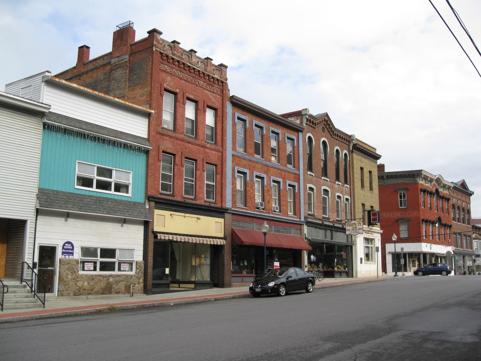
 Main Street Historic District, September 2009
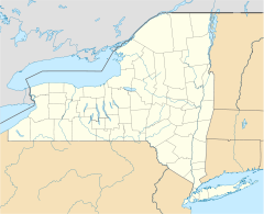

Location: Both sides of Williams St. and both sides of Main St. Bridge to below Saunders St. Bridge, Whitehall, New York Coordinates: 43°33′22″N 73°24′7″W / 43.55611°N 73.40194°WCoordinates: 43°33′22″N 73°24′7″W / 43.55611°N 73.40194°W Area: 11 acres (4.5 ha) Architect: Hopson, Almon Chandler Governing body: Private NRHP Reference#: 75001236[1] Added to NRHP: April 24, 1975 Main Street Historic District is a national historic district located at Whitehall in Washington County, New York. It includes 40 contributing buildings. It encompasses a three block long row of two and three story, brick and stone commercial structures facing the Champlain Canal. The structures were built between 1865 and 1900, after the fire of 1864. Most were designed by local architect Almon Chandler Hopson, who also designed the Judge Joseph Potter House.[2]
It was listed on the National Register of Historic Places in 1975.[1]
Gallery
-

Former Montgomery Ward Store, September 2009
References
- ^ a b "National Register Information System". National Register of Historic Places. National Park Service. 2009-03-13. http://nrhp.focus.nps.gov/natreg/docs/All_Data.html.
- ^ Doris Vanderlipp Manley (undated). "National Register of Historic Places Registration: Main Street Historic District". New York State Office of Parks, Recreation and Historic Preservation. http://www.oprhp.state.ny.us/hpimaging/hp_view.asp?GroupView=10070. Retrieved 2010-06-12. See also: "Accompanying six photos". http://www.oprhp.state.ny.us/hpimaging/hp_view.asp?GroupView=10050.
Categories:- Historic districts in New York
- National Register of Historic Places in New York
- Historic districts in Washington County, New York
- Washington County, New York Registered Historic Place stubs
-


Wikimedia Foundation. 2010.